Burg Eggersberg: A Medieval Hilltop Castle in Germany


Site at a Glance
- Rating
- 4.7
- Popularity
- Low
- Country
- Germany
- Primary era
- Early Modern
- External website
- Open
- Eras represented
- Medieval, Early Modern
- Civilizations
- Duchy of Bavaria, Electorate of Bavaria, Holy Roman Empire
- Site type
- Military
- Remains
- Castle
On this page9 sections
History
Foundation and Wittelsbach possession
Burg Eggersberg is a medieval hilltop castle in Riedenburg, Germany, built in the thirteenth century as part of the territorial possessions of the Bavarian dukes. It was first recorded in 1326 as the Feste Eggersberg and remained in the hands of the Wittelsbachs, Bavaria’s ruling dynasty, from the thirteenth century.
From the end of the fourteenth century, the dukes pledged the castle to a succession of holders. These included Wilhelm Fraundorfer, Balthasar Muracher around 1417, Haimeran von Muggenthaler in 1435, Georg von Pappenheim in 1480, and Georg I von Helfenstein in 1485. In 1520, Elisabeth, the widow of Georg I von Helfenstein and a member of the Schenkin von Limpurg family by birth, returned the Eggersberg office to the Bavarian dukes with her approximately eleven-year-old daughter Wandelburga, also called Waldburg.
Destruction and later transformation
Duke Albrecht IV destroyed Burg Eggersberg in 1491 during the Löwler War, a conflict in which he attacked opponents among the Bavarian nobility. Although repair work followed, the castle was demolished in 1613.
A parish church within the castle enclosure was also destroyed and replaced by a Baroque chapel. The chapel was built in 1736, and most of the elevated masonry now surviving on the site derives from this later building. It largely collapsed in 1806.
The new seat at Obereggersberg
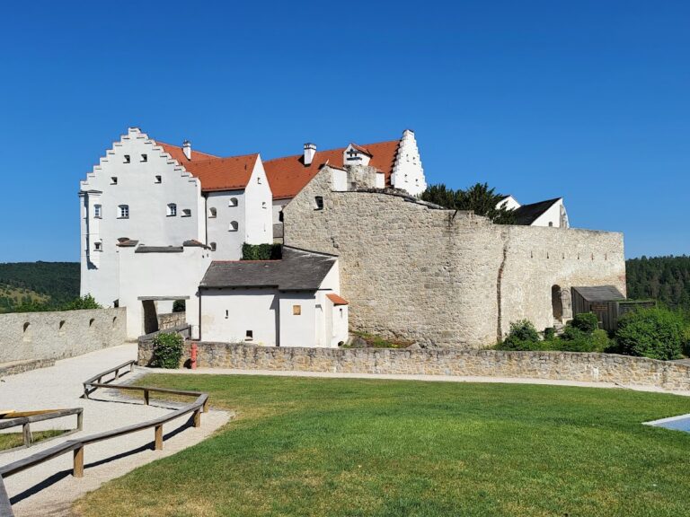
At the beginning of the seventeenth century, Adam Jocher, son of the ducal administrator at Eggersberg, built Schloss Eggersberg with an economic courtyard and ancillary buildings approximately 350 metres south of the old castle. The old fortress and the new seat became the two principal historical elements of Obereggersberg.
Obereggersberg developed as a small castle hamlet on a ridge above the Altmühl Valley. The former fortress occupied the northern rocky projection, while Schloss Eggersberg stood to the south. The settlement is part of a protected ensemble, and the castle ruins are also protected as both an architectural monument and an archaeological monument covering remains below ground.
Remains
Ridge-top defenses
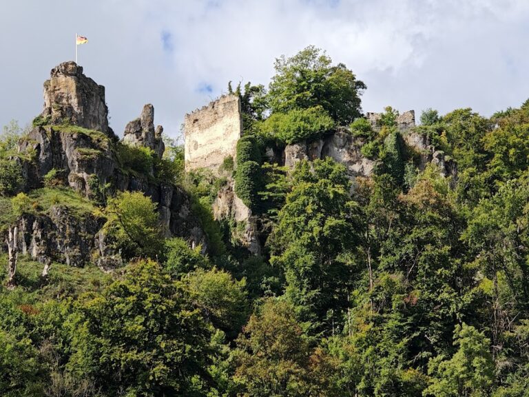
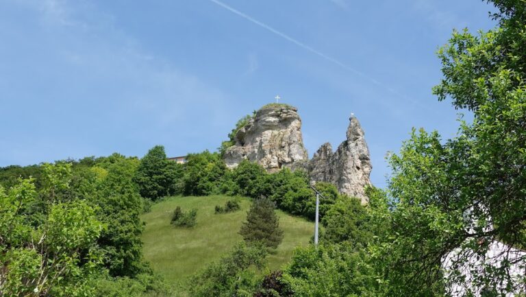
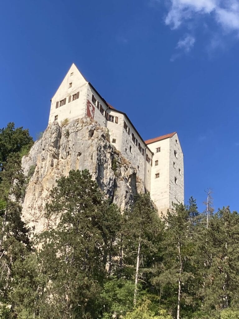
Burg Eggersberg was a spur castle on the Kirchfelsen, a rocky pinnacle projecting from the Altmühl Valley. It stood at about 440 metres above sea level at the northern edge of Obereggersberg, roughly 200 metres north of Schloss Eggersberg. The surviving site occupies the terminal rocky projection of the ridge and is surrounded by trees.
Bergfried and enclosing walls
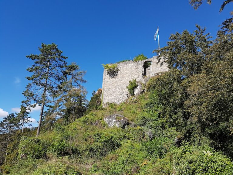
Only a few wall remains survive from the medieval fortress. The principal fragment is approximately four metres high and belongs to the former bergfried, the main fortified tower of a medieval German castle and a defensive refuge rather than an ordinary entrance tower. Dating to the early thirteenth century, it is built of ashlar masonry with bossing, a deliberately rough, projecting finish on the visible faces of the stone blocks.
The defensive enclosure included an enceinte, or enclosing fortified wall, of which sections remain. Its rubble masonry contrasts with the ashlar of the tower. A broad, deep, semicircular neck ditch also survives, cut across the narrow connection between the castle spur and the surrounding ground. Together, these remains define the castle’s position on the rocky end of the ridge.
Baroque chapel ruin
The later chapel within the castle enclosure is a Baroque structure built in 1736. Part of its ruin is constructed from rubble masonry, and the building largely collapsed in 1806. Its surviving elevated walls account for much of the masonry visible above ground today.
Settlement layout
The castle enclosure occupied the northern end of the settlement, while the new Schloss Eggersberg formed its southern historical counterpart. Small houses and farm outbuildings developed between them in an irregular arrangement along the north-south access street. This street ended at the castle’s outer-bailey area, linking the settlement’s buildings with the former fortress precinct.
Nearby sites