Lycian Way: A Historic Long-Distance Trail in Türkiye

Site at a Glance
- Rating
- 4.8
- Popularity
- Medium
- Country
- Turkey
- Primary era
- Modern
- External website
- Open
- Eras represented
- Modern
- Civilizations
- Roman
- Site type
- Infrastructure
- Remains
- Road
On this page8 sections
History
The Lycian Way is a long-distance hiking trail in Türkiye, created from historic paths across the Teke Peninsula, the ancient region of Lycia in southwestern Anatolia. The route officially opened in 1999 after development led by Kate Clow, and its original course measured about 509 kilometres. It follows routes once used by the Lycians for trade, military movement, and the transport of people and animals between their cities and ports.
The ancient Lycian landscape
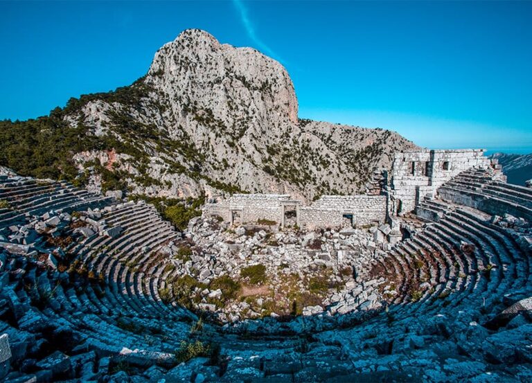
Lycia occupied the western Taurus Mountains and the Mediterranean coast of the Teke Peninsula, an area now corresponding mainly to Muğla and Antalya provinces. Its communities formed city-states and the Lycian League, a political association of Lycian cities that included Xanthos, Patara, Myra, Pinara, Tlos, Olympos, and Phaselis. Maritime trade and piracy were part of the region’s history, while rock-cut tombs and sarcophagi remain distinctive evidence of Lycian civilization.
Lycia later came under the authority of the Persian Empire, ancient Greek powers, Rome, the Byzantine Empire, the Seljuk Empire, and the Ottoman Empire. An inscription found near Patara, the Stadiasmus Patarensis, records that Lycia became a Roman province in AD 43 and lists 69 roads and 53 cities. A stadiasmus was a document recording routes and distances between places. The inscription was translated in 1994 by Professor Sencer Şahin.
Creation and expansion of the trail
Kate Clow, a British amateur historian and long-term resident of Turkey, began developing the trail after 1989. Volunteers organized by Clow marked the route with sponsorship from Garanti Bank, and the way became an established long-distance trail when it opened in 1999. Its name refers to the ancient Lycian civilization whose cities and landscapes it connects.
The route later expanded to approximately 760 kilometres by 2022–2023. It runs from Hisarönü near Ovacık and Fethiye in Muğla Province to Geyikbayırı in Antalya’s Konyaaltı district, about 20 kilometres from Antalya. Along the way it is associated with settlements and ruins including Pydnae, Apelia, Telmessos, Idyros, Antiphellus, Apollonia, Simena, Letoon, Xanthos, Patara, Myra, Limyra, Rhodiapolis, Gagai, Melanippe, Edrassa, Olympos, and Phaselis. Letoon, described as the historical capital of Lycia, is a UNESCO World Heritage Site, an international designation for places recognized for outstanding cultural or natural value. Patara is identified as a Lycian capital, while Cape Gelidonya marks the southernmost point of Lycia.
Modern uses and documentation
Since 2010, the trail has hosted the international Lycian Way Ultramarathon, an approximately six-day race of about 220 to 240 kilometres that runs eastward from Ölüdeniz toward Antalya. Clow’s guidebook describes trail widths, waymark types, stage distances, walking times, historical and natural surroundings, villages, and detailed maps. The 2022 edition includes the St Nicholas Ways, a six-route network named for Saint Nicholas, the Christian bishop traditionally associated with Myra, as well as the alternative Lyra Way around Mount Olympos.
Remains
Route structure and waymarking
The Lycian Way combines historic paths with modern roads, forest tracks, village roads, and routes through or near ancient settlements, bays, hills, and mountain passes. Its principal stages run from Hisarönü through Faralya, Kabak Bay, Alınca, Yediburunlar, Gavurağılı, Patara, Kalkan, Gökçeören, Kaş, Kekova, Demre, Finike, Karaöz, Cape Gelidonya, Adrasan, Olympos, Çıralı, Beycik, Tekirova, Phaselis, Gedelme, Göynük, Hisarçandır, and finally Geyikbayırı.
The route is marked according to the French Grande Randonnée system, a network of long-distance walking trails identified by painted stripes. Red-and-white marks appear on both sides of rocks and tree trunks at intervals of about 50 metres. Dirt-road sections are marked roughly every 100 to 200 metres, especially at forks and crossroads. Yellow signs identify intersections, while red crosses mark deviations that should not be entered. Volunteers periodically renew the signs and, with sponsoring organizations, maintain the complete trail.
Coastal and inland alternatives
The trail has coastal and inland alternatives. The coastal route passes through Tekirova, Phaselis, Aşağıkuzdere, Göynük Yaylası, Hisarçandır, Çitdibi, and Geyikbayırı. The inland route goes through Ulupınar, Beycik, Yukarı Beycik, Tahtalı Dağı at about 1,800 metres, Çukuryayla, Yayla Kuzdere, and Gedelme before rejoining the coastal route at Göynük Yaylası. Other divisions include alternatives between Kabak and Yediburunlar, a direct route from Sidyma to Xanthos, and the difficult Lyra Way, which leaves the inland route above Beycik, circles Tahtalı on its northern side, and rejoins the trail at Çukuryayla.
The St Nicholas Ways connect Byzantine churches in the foothills of Alacadağ above Demre with the Lycian Way. Parts of the route are suitable for mountain biking and trail riding, while a bicycle route follows sections of the trail and parallel side roads. Other sections use alternative forest and village roads.
Mountain, coast, and archaeological settings
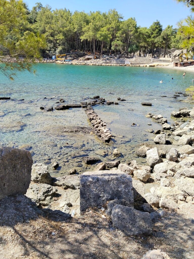
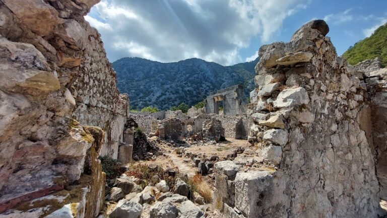
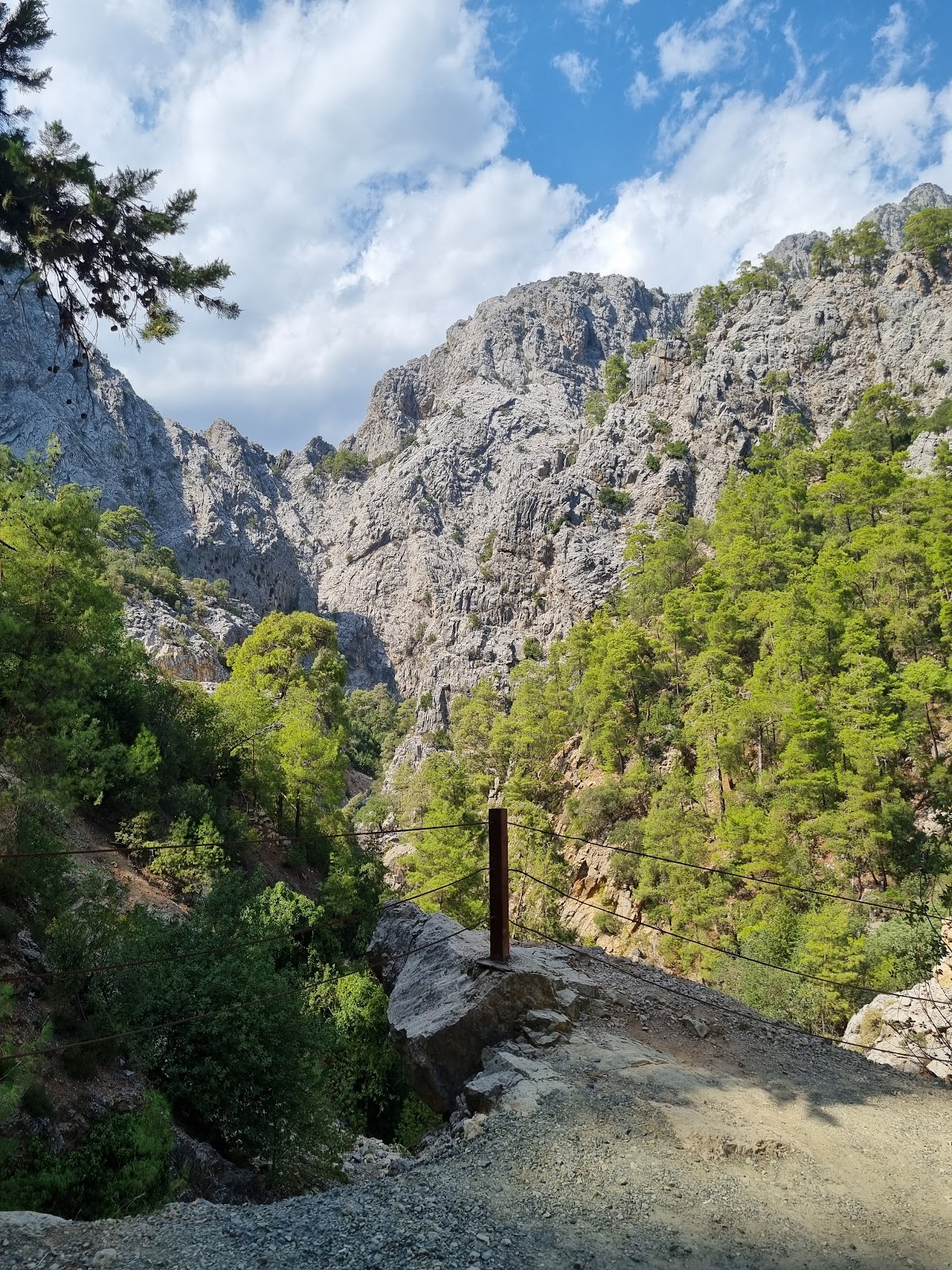
The trail crosses a mountainous coastal landscape with views toward the sea. İncegeriş Hill reaches 1,811 metres above sea level, and the inland route crosses Tahtalı Dağı at about 1,800 metres. Strawberry trees, pines, and carobs grow at lower elevations, while cedars and junipers occur higher on the route. The trail also passes or provides access to Ölüdeniz, Butterfly Valley, Faralya, Kabak Bay, Cennet Bay, Korsan Bay, Sidyma, Bel, Gavurağılı, Akbel, Gelemiş, Kalkan, Sarıbelen, Gökçeören, Kaş, Üçağız, Kale, Demre, Kumluca, Belören, Zeytin, Alakilise, Belos, Finike, Mavikent, Adrasan, Çıralı, Yanartaş, Olympos, and the ancient city of Phaselis.
Cape Gelidonya’s lighthouse is a prominent feature along the route, with views toward American Bay. An underwater excavation in the bay recovered an entire ship, an achievement described as the first underwater excavation to recover a complete ship. The trail’s physical setting therefore combines mountain paths, coastal routes, historic settlements, and archaeological landscapes within the wider territory of ancient Lycia.