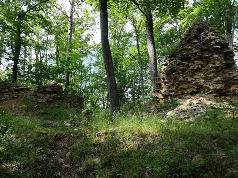
Lacembok: A Medieval Castle in Czechia
Site at a Glance
- Rating
- 3.8
- Popularity
- Very Low
- Country
- Czechia
- Primary era
- Medieval
- Eras represented
- Medieval
- Civilizations
- Holy Roman Empire, Kingdom of Bohemia
- Site type
- Military
- Remains
- Castle
On this page8 sections
History
Lacembok, also known as Hrádek, is a medieval castle in Czechia whose stone form was built in the mid-fourteenth century. Archaeological finds show that the site already existed in the second half of the thirteenth century, placing its development within the medieval history of the cadastral territory of Horní Kamenice.
The Hrádek family estate
The first written reference dates to 1373, when the nobleman Bohuchval of Hrádek was recorded using the castle’s name. At that time, Lacembok controlled or included the villages of Krchleby, Čermná, Poděvousy, Puclice, Křenovy, and Kamenice. The castle remained in the hands of Bohuchval’s descendants until the fifteenth century.
During the first half of the fifteenth century, Lacembok was destroyed by fire. The destruction may have occurred in 1422 or 1431 during the Hussite sieges of Horšovský Týn. The Hussites, followers of the Czech religious reformer Jan Hus, had by then become a major political and military force in Bohemia. The nearby castle of Osvračín was destroyed in a similar way at approximately the same time. After Lacembok’s destruction, members of the family lived at the fortified manor houses of Lštění and Horní Kamenice.
Ruins and protection
The first direct reference to the castle as an already ruined site dates from 1521, when it was called Lanzenbach. Later stone quarrying damaged the remains. Lacembok has been protected as a cultural monument since 1964 and is designated a cultural monument of the Czech Republic.
Remains
Setting and outer defenses
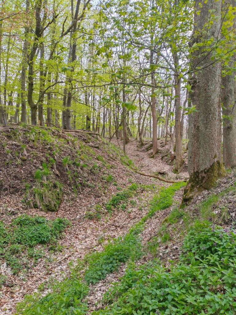
Lacembok occupied an inconspicuous rocky rise at about 410 metres above sea level on the right side of the Srbický Brook valley, above the Vížka I and Vížka II ponds. Ditches surrounded the castle on three sides, while the western side relied on the steep slope of the valley. It remains uncertain whether the ponds were created at the same time as the castle and formed part of its defensive system.
A bailey, the outer section of a castle enclosure, stood on the southern side. Its buildings have not survived, but its perimeter wall, a defensive wall enclosing the site, remains as an embankment-like earthwork along the ditch. To the north, the castle core was enclosed by a wall and an outer defensive zone known as a parkan. A water cistern, used to collect or store water, occupied the western part of this zone.
Castle core
Archaeological research in the castle core during 1999 and 2000 showed that stone quarrying had heavily altered the present terrain. The investigation also rejected the proposed approach route from the east.
Residential tower
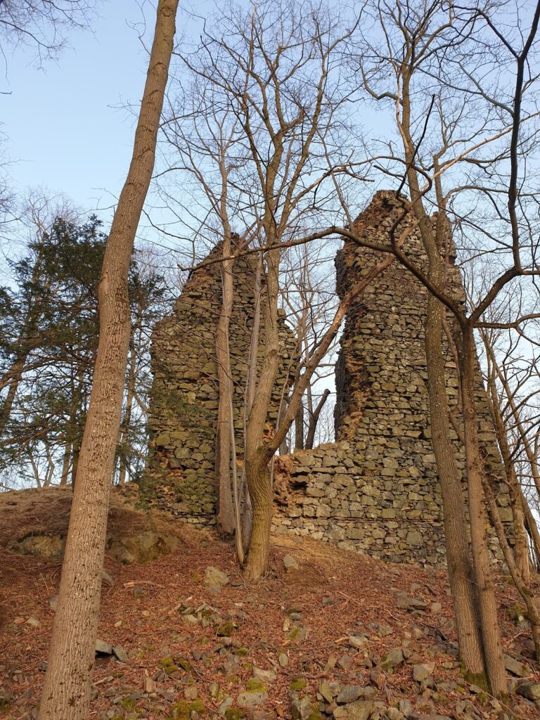
The core contained a donjon, the principal fortified residential tower of a medieval castle. Its rectangular plan measured 10.5 by 15.5 metres, and its walls were two metres thick. A small tower attached to the donjon’s southwestern corner probably protected the entrance gate into the core. Its upper levels may have held a staircase linking the floors of the main tower.
Western building and water supply
A second building stood on the western side of the core. Tiled stoves heated the structure. Three of its walls were formed by the core’s perimeter wall, while the fourth was probably built from logs. A wooden water pipeline led from the cistern into this western building.
Nearby sites