Hrad u Brtníků: A Medieval Rock Castle in Czechia
Site at a Glance
- Rating
- 4.7
- Popularity
- Low
- Country
- Czechia
- Primary era
- Medieval
- Eras represented
- Medieval
- Civilizations
- Holy Roman Empire, Kingdom of Bohemia
- Site type
- Military
- Remains
- Castle
On this page7 sections
History
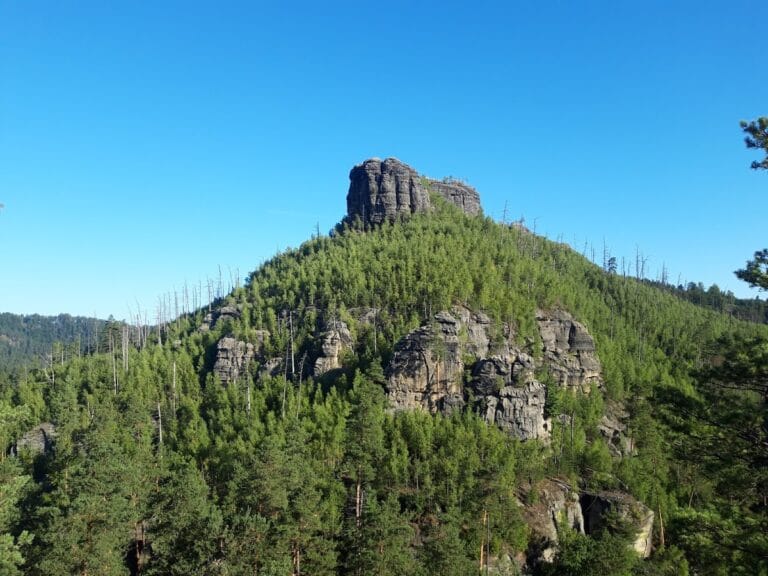
Hrad u Brtníků is a former rock castle near Brtníky in Czechia, occupied around the turn of the thirteenth and fourteenth centuries. Its builder is unknown, and the site was probably never completed. Archaeological evidence has linked it possibly to the Berks of Dubá, a medieval Bohemian noble family whose northern Bohemian holdings included much of the Honštejn and Šluknov regions. In that interpretation, the site may have served as a military strongpoint, although its precise function remains uncertain.
Medieval occupation
The castle has no surviving written medieval record, and its original name is unknown. It is not mentioned in the fifteenth century, suggesting that its active historical role was brief or poorly recorded. Archaeological research carried out in 2003 placed occupation at the site around the transition between the thirteenth and fourteenth centuries. The investigation also led to a proposal that Hrad u Brtníků should be understood as a refuge rather than as a conventional castle.
Later names and routes
The name Brtnický hrádek is also used for the site, while the name Loupežnický zámek, meaning “Robbers’ Castle,” appears on a forestry map from 1736. During the sixteenth century, several routes from Lusatia passed nearby. These routes were included on a map made by the cartographer Matyáš Oeder, providing a later reference to the location even though the medieval name had disappeared.
Remains
Rock spur and defensive layout
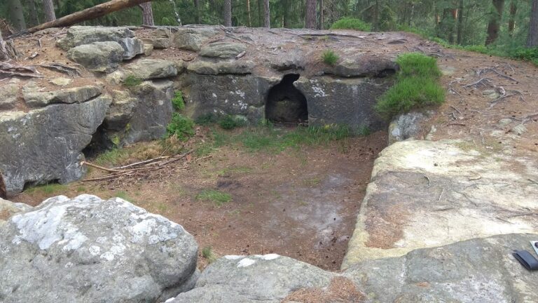
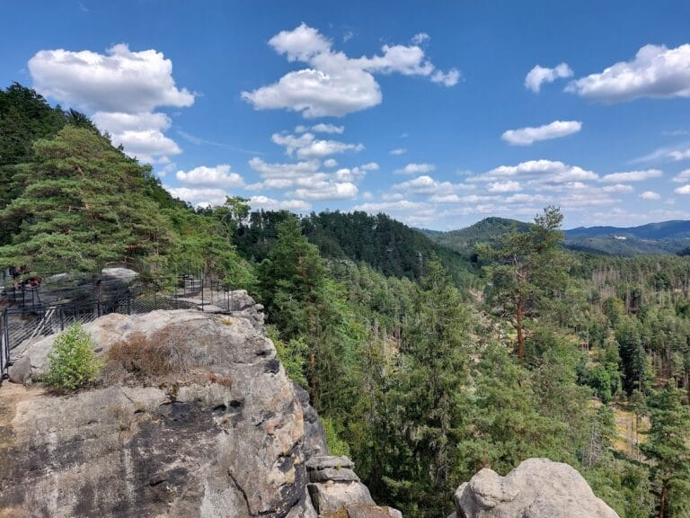
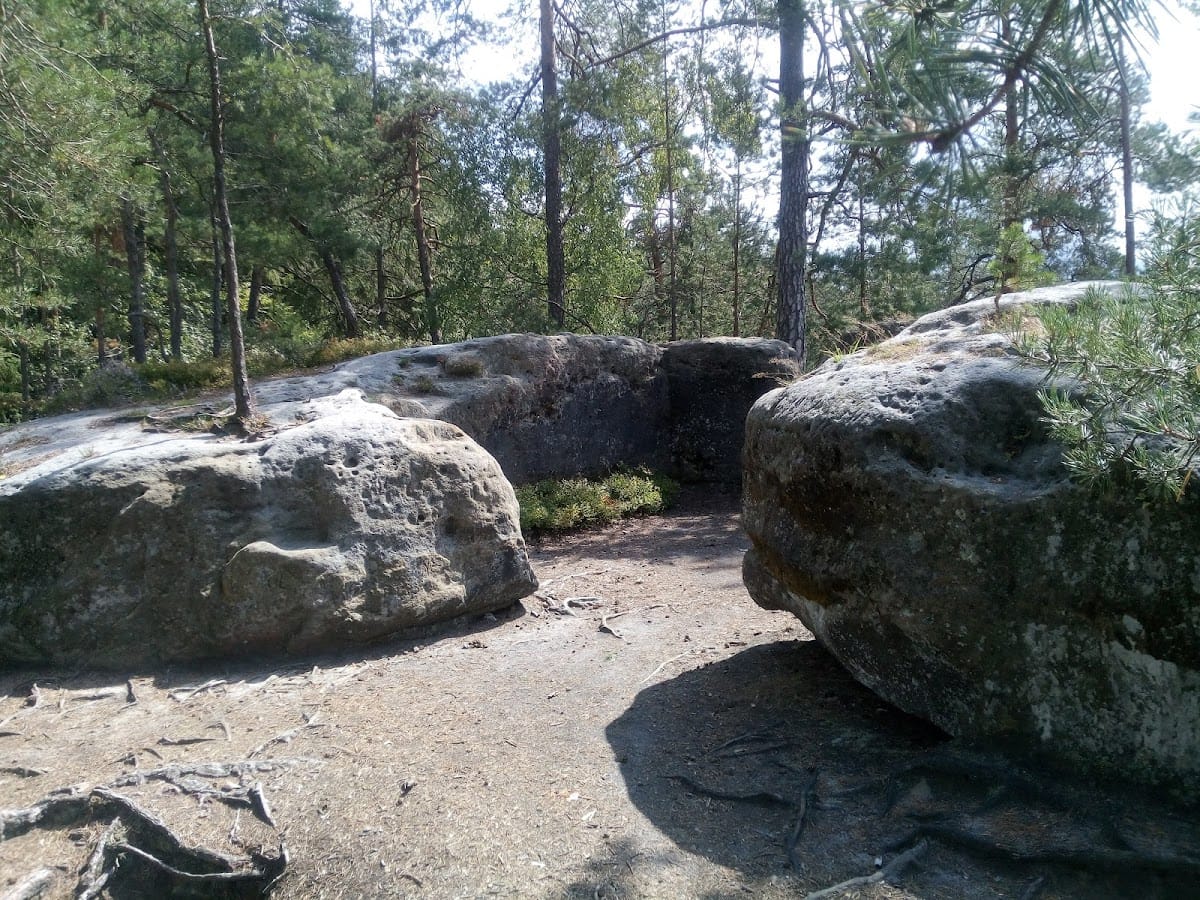
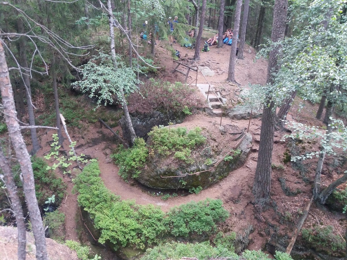
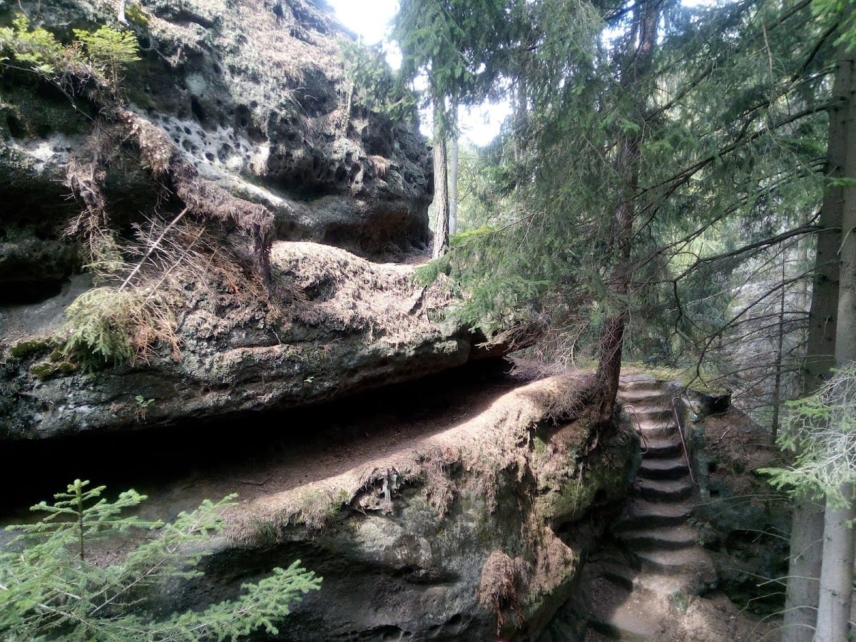
Hrad u Brtníků stood at about 375 metres above sea level on a sandstone spur in Hluboký Valley, approximately 2.7 kilometres southwest of Brtníky. Its plan occupied two rock blocks. Natural crevices divided the blocks from each other and from the approach, and these gaps were enlarged to function as moats. The arrangement created a separated outer area and inner area within the rocky setting.
Outer bailey
The eastern rock block formed the outer bailey, the fortified outer part of a castle. Two stairways approached it from the east. A stone fortification wall enclosed this area, with small sections surviving on the southeastern side. The inner part was probably reached by a small bridge spanning the second crevice.
Inner area
A rock measuring 17 by 10 metres occupies the centre of the inner area. Foundations cut into its surface probably belonged to a tower-like structure with a ground plan of about 4.5 by 5 metres. Its entrance was positioned on the northern side. A groove along the southern side of the inner area marks another structure, whose shape and function remain unknown.