Battenberg Castle: A Leiningen Hill Castle in Germany


Site at a Glance
- Rating
- 4.4
- Popularity
- Low
- Country
- Germany
- Primary era
- Medieval
- External website
- Open
- Eras represented
- Medieval, Early Modern
- Civilizations
- Holy Roman Empire
- Site type
- Military
- Remains
- Castle
On this page13 sections
History
Battenberg Castle is a medieval hill castle in Germany, probably built in the thirteenth century by Count Frederick III of Leiningen on the remains of an earlier Salian complex. It belonged to the Counts of Leiningen, a Franconian noble dynasty that held territory in the region, and helped control access through the Eckbach valley. The castle is one of three strongholds associated with the early history of the family in the upper Eckbach, alongside Altleiningen and Neuleiningen.
The Leiningen stronghold
Battenberg formed part of a defensive system controlling the valley. Neuleiningen Castle stood about 1,400 metres to the north on the opposite side, while Altleiningen, the family’s ancestral castle, lay about 5 kilometres upstream to the southwest. Together, these positions protected movement through the surrounding Leiningen territory.
Destruction and continued residence
French troops destroyed the castle in 1689 during the War of the Palatine Succession, a late-seventeenth-century European conflict that brought French military operations into the Palatinate. The complex was partly renovated afterward and remained one of the Leiningen family’s residences until 1747.
Local tradition places an elaborate dinner at the castle on 22 May 1693, when Marshal Tallard and General Melac are said to have watched Heidelberg burning after its earlier destruction. The story is also presented on an information panel in the castle courtyard.
Revolutionary-era fighting
The castle again became a military position during the First Coalition War, the 1790s conflict in which revolutionary France fought a coalition of European powers. French revolutionary troops occupied the strategically placed complex. On the night of 5 September 1794, troops commanded by the future Prince Blücher drove them out. Fighting resumed around the castle on 18 September, when the later generals Friedrich Wilhelm von Müffling and Joseph von Cloßmann led an assault. Palatine-Bavarian troops played a decisive part in both engagements.
Modern status
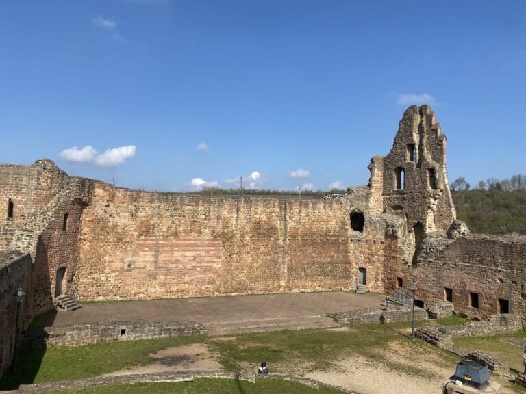
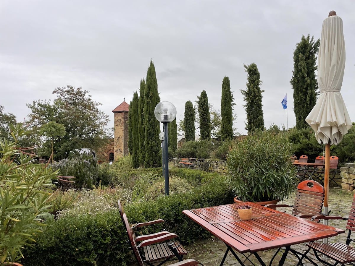
The ruins are privately owned, and Battenberg Castle is classified as a cultural monument. Part of the complex is used as a restaurant, while the castle courtyard and most of the site remain accessible to the public.
Remains
Battenberg Castle occupies a projecting hill spur on the Kieselberg, at approximately 280 to 284 metres above sea level. The site stands immediately west of the village of Battenberg above the right bank of the Eckbach, on the northeastern edge of the Palatinate Forest and the western shoulder of the Upper Rhine Graben, a long tectonic depression forming part of the Upper Rhine valley. Steep slopes fall to the north, east, and south, while a moat protected the more open western approach. The valleys of the Eckbach and the Krumbach open toward the Rhine Plain, and the elevated position looks east across the Rhine Plain, the Bergstrasse, and the Odenwald.
Defensive works
Enceinte wall and gate building
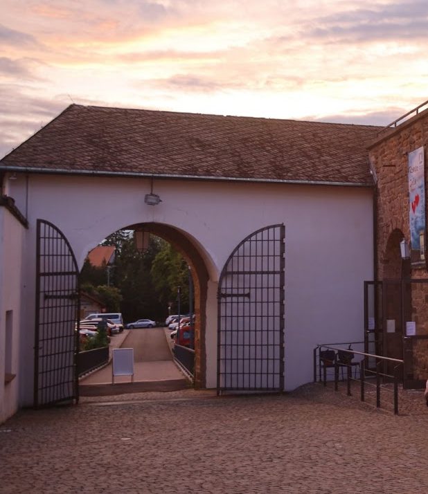
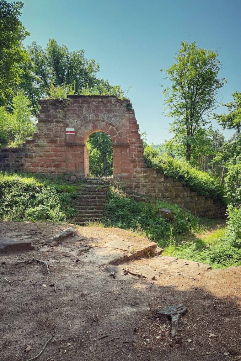
The main enclosing defensive wall, or enceinte, survives around the castle perimeter. Its western gate building stands near the northwestern corner, where the former moat helped defend the approach. The arrangement follows the narrow, steep-sided shape of the spur and uses the natural slopes as part of the site’s defences.
Battery tower
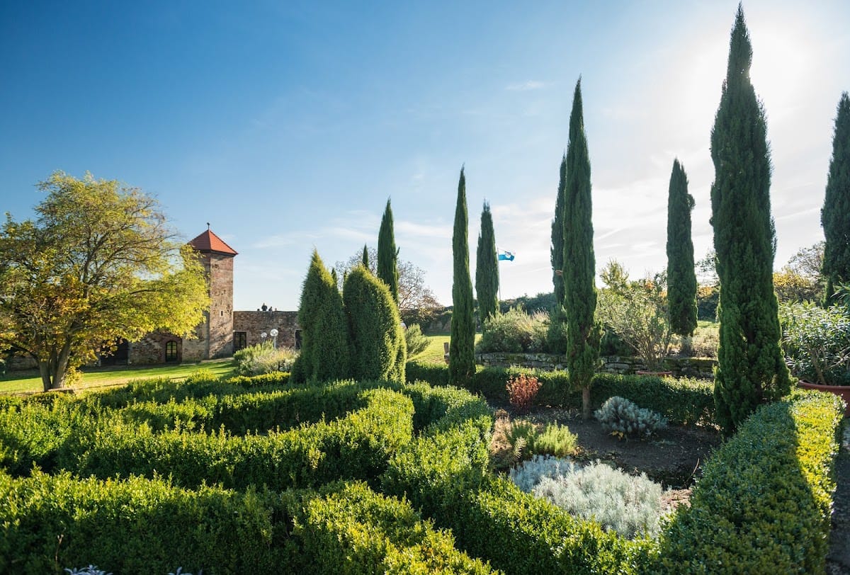
A battery tower occupies the middle of the southern side. Designed to carry artillery, it contains a mouth-shaped gun opening, known as an embrasure, through which a weapon could be fired. An internal wall-walk, a defended passage along a fortification wall, leads from the terrace near the residential building to the tower behind the enceinte.
Residential and service buildings
Residential building and staircase tower
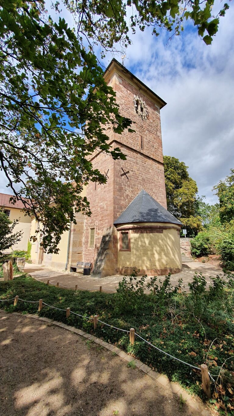
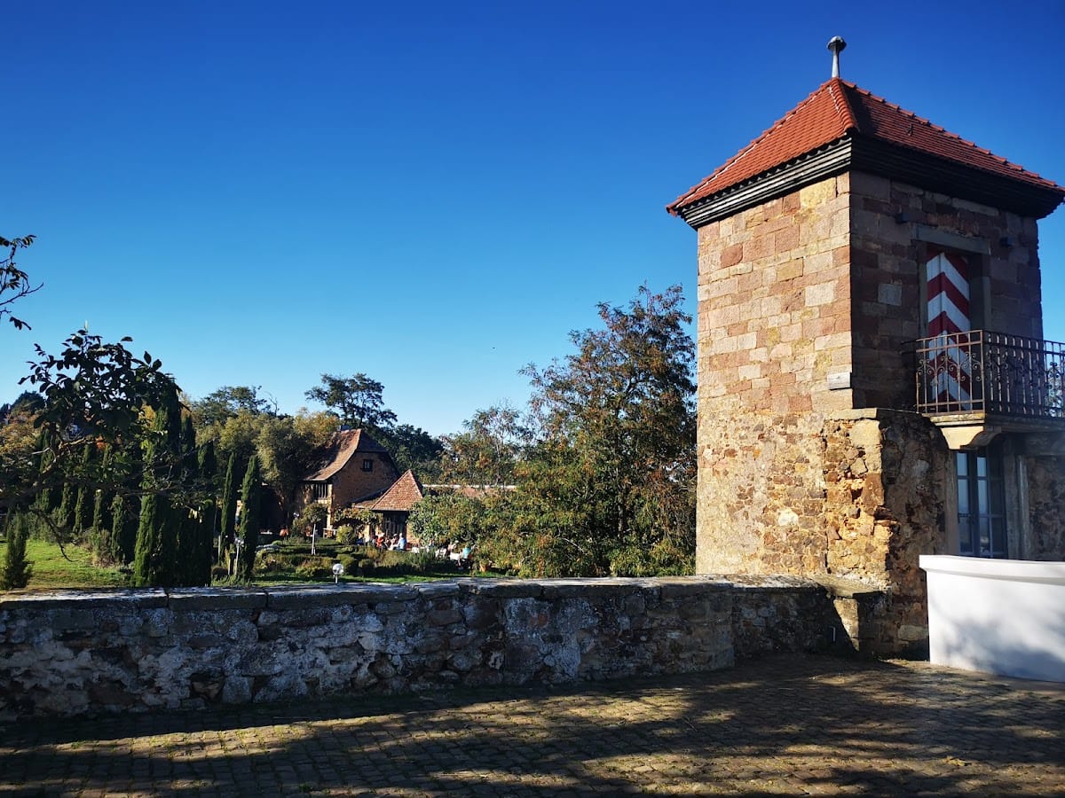
In the eastern part of the complex, the ground floor of a residential building remains above a vaulted cellar. A two-storey staircase tower was added on its western side in the sixteenth century. Its upper section was later converted into a pavilion facing east. The pavilion’s upper storey is reached from the adjoining terrace by an external iron staircase added at a later date. The terrace originally served as the floor of the residential building’s second storey.
Coach houses and courtyard
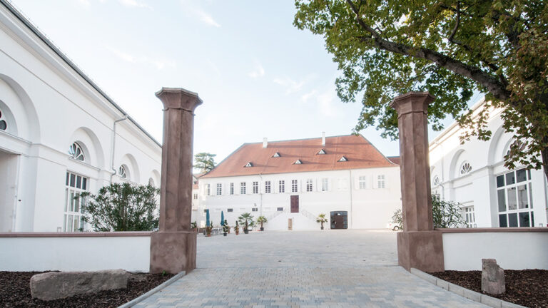
Two coach houses dating from the eighteenth century stand north of the gate building. Together with part of the landscaped castle courtyard, they now form the restaurant area within the complex. These later buildings occupy the northern part of the castle and complement the surviving medieval and early modern defensive and residential structures.
Surrounding geological and natural features
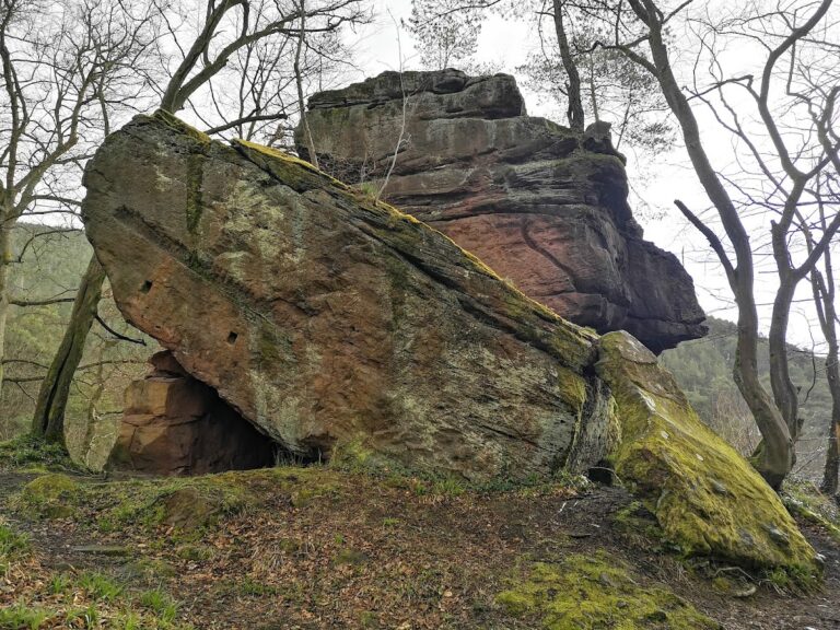
Ochre-coloured sandstone formations called the Blitzröhren emerge on the steep southern slope below the ruins beside the winding district road. Their hard, iron-rich mineral forms were produced by sintering and erosion rather than by lightning strikes. The Haardtrand–Im Baumgarten nature reserve borders the eastern slope of the castle hill.