Kirumpää Castle: A Bishop’s Fortress on Estonia’s Eastern Frontier


Site at a Glance
- Rating
- 4.4
- Popularity
- Very Low
- Country
- Estonia
- Primary era
- Medieval
- Eras represented
- Medieval, Early Modern
- Civilizations
- Crusader, Holy Roman Empire
- Site type
- Military
- Remains
- Castle
On this page15 sections
History
Kirumpää Castle is a medieval bishop’s castle in Estonia, located at Kirumpää beside the Võhandu River. It belonged to the Bishopric of Dorpat, a medieval prince-bishopric centred on Tartu whose bishop held religious, territorial, and military authority. The fortress protected the bishopric’s eastern frontier and controlled the Tartu–Pskov trade and military route where it crossed the river.
Foundation and early development
Archaeological excavations place the foundation of Kirumpää Castle in the mid-thirteenth century or its third quarter, while other descriptions date its construction to the late thirteenth or early fourteenth century. The castle was built on the site of an earlier fortification. Its earliest form was a small fortified house, a residence adapted for defense, resembling a tower castle and intended to watch traffic along the route.
The first written reference to the castle dates from 1322, when Gediminas, the Grand Duke of Lithuania and founder of the Gediminid ruling dynasty, destroyed it. The stronghold was later enlarged. A chapel was added first, followed by further buildings that transformed the complex into a roughly square castle.
Medieval settlement and warfare
A settlement of merchants and artisans developed under the castle’s protection. Its defenses included the castle moat and a bend of the Võhandu River, and it became one of the larger settlements of its kind in the area. During the Estonian uprising of 1343–1345, a major revolt against foreign rule in medieval Estonia, the Kirumpää region became a theatre of military operations.
During the fighting between Otepää and Vastseliina, Kirumpää served as the headquarters of the Livonian Order’s forces on the southern front under Dietrich von Rambow. The Livonian Order was a medieval military-religious order that controlled territories in Livonia, including parts of present-day Estonia and Latvia. The forces of the Tartu bishop were based at Otepää under Johan Üxküll.
Russian chronicles describe the destruction of the settlement in 1369 or 1370. Inhabitants took refuge in buildings with stone cellars, but were killed by heat and smoke. The castle itself was expanded during the fifteenth century and repeatedly besieged and damaged. Ivan IV’s army damaged it in 1558 during the Livonian War, a conflict from 1558 to 1583 over control of Livonia involving Russia, Sweden, Poland-Lithuania, and local Livonian forces.
Livonian War and later conflicts
In 1579, forces associated with Krzysztof Radziwiłł and commanded by Jürgen Buttler captured and burned the castle. Swedish forces took it in 1599, but Polish-Lithuanian troops recaptured it by assault in 1602. At the beginning of the Livonian War, retreating forces of the Order and the bishopric also set the castle on fire. A chronicle published in 1747 relates that local peasants extinguished the flames and then told the advancing Russian forces that the German troops had departed.
Kirumpää was last captured in 1656 during the Russo-Swedish War of 1656–1661. The settlement was destroyed during that conflict and was not rebuilt. The castle lost its military importance and fell into ruin. It was also recorded as destroyed in 1701, during the Great Northern War, the European conflict fought from 1700 to 1721 chiefly over Sweden’s position as the leading Baltic power. In September of that year, Swedish troops were stationed in the Kirumpää area, and King Charles XII ordered the transfer of their headquarters there.
Ruins and later memory
The castle has not been restored since the eighteenth century. When Võru was founded several kilometres away as a district town in 1784, Kirumpää became a marginal settlement. Stone from the ruins was used to build Võru, and part of the remaining walls was dismantled for building material in the 1950s.
The ruins were entered in Estonia’s register of immovable monuments on 14 January 1998. The monument is owned by Võru Rural Municipality. Kirumpää Castle also survives in cultural memory: it provides the setting for Erkki Koorta’s adventure novel Kättemaks Kirumpääl, and its destruction is mentioned in a poem by Jan Kochanowski.
Remains
Kirumpää Castle stood on a low oval hill or high riverside ridge beside the Võhandu. The river formed a major natural obstacle and also served as a waterway. The castle occupied a roughly square plan, while the settlement lay within its shelter between the moat and a bend in the river. The surviving ruins consist of fragments of the former masonry complex, including tall pillars interpreted as supports for the main tower.
Castle plan and principal buildings
The castle was built from fieldstone and brick and probably rose three storeys above a basement. It measured approximately 42 by 45 metres, with rooms extending along three sides and a larger hall probably occupying the northern part. Its growth from a small fortified residence into a larger square-plan castle reflects the successive additions made to the original stronghold.
Residential wing and chapel
The oldest section was a thick-walled residential wing measuring about 14 by 10 metres. It contained a chapel, a small place of Christian worship. This early wing formed the core of the later castle as additional buildings were added around it.
Gatehouse and western approach
Entry was controlled through a gatehouse in the western wall. A gatehouse is a fortified entrance structure that regulates passage through enclosing walls. Outside the western entrance stood a small pentagonal bastion, a projecting defensive structure designed to support fire along the walls.
Defensive structures and water barrier
Corner towers
A circular cannon tower was added at the south-western corner, probably around 1500. Smaller quadrangular defensive turrets occupied the north-eastern and south-eastern corners. These additions belonged to the castle’s later defensive development and complemented the enclosing walls.
Moat and riverside setting
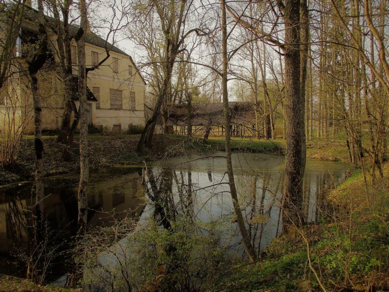
A moat surrounded the castle. Local tradition holds that water once encircled it on every side and flowed from a spring that later dried up. The moat worked together with the Võhandu River and its bend to protect the castle and the settlement beyond its walls.
Settlement and surviving evidence
Settlement area
The former settlement occupied the protected area between the moat and the river bend. It included buildings with stone cellars, some of which became places of refuge during the settlement’s destruction in 1369 or 1370.
Ruins and plans
Only fragments of the castle survive above ground. The tallest masonry pillars are interpreted as the supporting piers of the main tower. Small-leaved lime trees planted in 1940 grow among the ruins. Plans preserved in the Swedish National Archives include a seventeenth-century ground plan of the castle and a plan of the surrounding area dating from about 1682.