Bayard’s Cove Fort: A Tudor Harbour Defence in Dartmouth

Site at a Glance
- Rating
- 4.5
- Popularity
- Low
- Country
- United Kingdom
- Primary era
- Early Modern
- External website
- Open
- Eras represented
- Early Modern
- Civilizations
- English
- Site type
- Military
- Remains
- Fort
On this page8 sections
History
Bayard’s Cove Fort is a sixteenth-century Tudor artillery fort in Dartmouth, United Kingdom, built to defend the entrance to the town’s harbour. The Tudor period began with Henry VII in 1485 and included the reign of Henry VIII, whose government expanded and reorganised England’s coastal artillery defences. The fort formed part of Dartmouth’s protection against attack from the sea and helped secure an important harbour in Devon.
Dartmouth’s Harbour Defences
Dartmouth’s harbour lies in the estuary of the River Dart and was an important medieval trading and fishing port capable of sheltering up to 600 vessels. The town continued to prosper in the fifteenth century through the wool trade. Fears of French invasion, together with the prospect of retaining a valuable royal subsidy, encouraged the town to strengthen its defences.
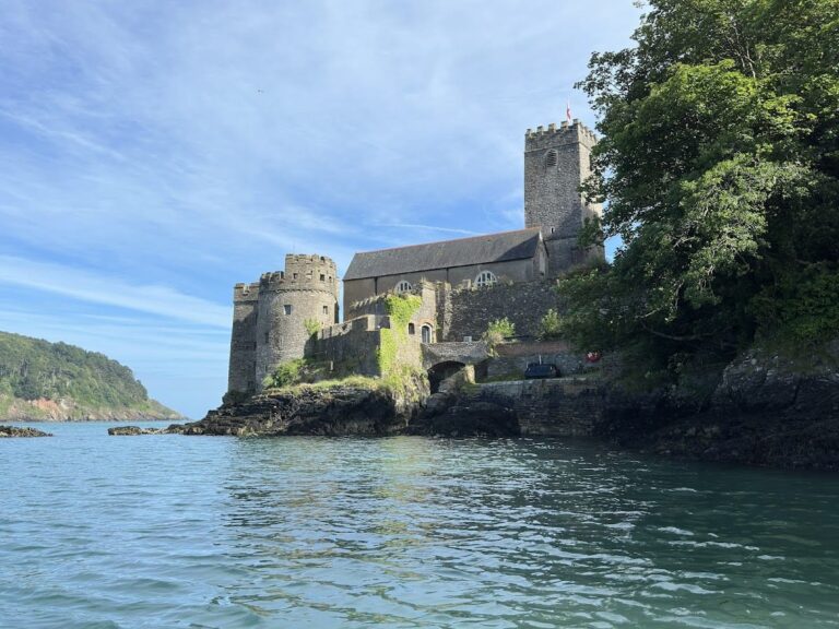
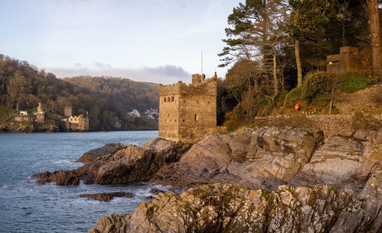
Dartmouth Castle, on the western side of the estuary, was developed into an artillery fort after 1486. Kingswear Castle, on the eastern side, was constructed from 1491 onward. Bayard’s Cove Fort stood at the end of a new quay beside the harbour entrance. Its guns were intended to fire on hostile ships that had passed the artillery of Dartmouth and Kingswear castles.
Construction and Tudor Use
The fort’s exact construction date remains uncertain. It may have been started in 1509 or 1510, after a royal instruction issued at the beginning of Henry VIII’s reign, or it may have been built in 1529 when Dartmouth feared a French and Spanish attack. Dartmouth Corporation, an association of Dartmouth merchants, was involved in its construction and financing. The fort has been described as the first English fort initiated and paid for by private individuals. It was certainly complete by 1537.
In 1522, Thomas Howard, Earl of Surrey, may have referred to the fort as a stone blockhouse guarding Dartmouth’s well-defended harbour. An artillery blockhouse was a compact fortified building designed to mount guns through openings in its walls and concentrate fire against approaching ships. Around two decades later, the antiquarian John Leland called it a recently built and attractive bulwark.
In 1575 Dartmouth leased the fort to Thomas Carne, a shipwright, on the condition that it would be returned to the town authorities whenever it was needed for the town’s defence. During the Spanish invasion scare of 1598, the authorities resumed control under this agreement.
Civil War and Royal Garrison
Bayard’s Cove Fort remained armed during the English Civil War, fought between supporters of the king and Parliament from 1642 to 1651. Dartmouth initially supported Parliament, but Prince Maurice, a Royalist commander and nephew of Charles I, besieged and captured the town in 1643.
In January 1646, Sir Thomas Fairfax led a Parliamentary army in retaking Dartmouth. His forces seized Bayard’s Cove Fort and captured the five iron artillery guns that the Royalists had stationed there to defend the estuary.
During the Interregnum, the period of republican government between the execution of Charles I and the restoration of Charles II in 1660, Parliament appointed Sir John Fowell governor of Dartmouth’s defences. His responsibilities also included preventing smuggling. An order issued in 1650 required the fort to be repaired and restored to full service.
After Charles II’s restoration in 1660, Dartmouth’s defences initially returned to town control. By 1662, however, a royal force of 23 men garrisoned the fortifications. Sir John Fowell oversaw them and remained captain and governor until 1677.
Later History and Protection
During the eighteenth century the fort was used for storage and fell into decline. It was restored in the late nineteenth century, when tourists began visiting Dartmouth. The fort also had a brief military role during the Second World War, when it was used as a machine-gun post.
English Heritage now manages Bayard’s Cove Fort. In England it is protected both as a scheduled monument, a nationally important archaeological or historic site protected by heritage law, and as a Grade I listed building, the highest grade of listed-building protection. These designations identify it respectively as Bayard’s Cove Castle and Bearscove Castle.
In September 2022, English Heritage identified the fort as one of six English castles at risk from destruction caused by coastal erosion worsened by global warming. The rocky terrace on which it stands frequently floods, and further research was considered necessary to assess the effects of rising sea levels.
Remains
Blockhouse and Gunports
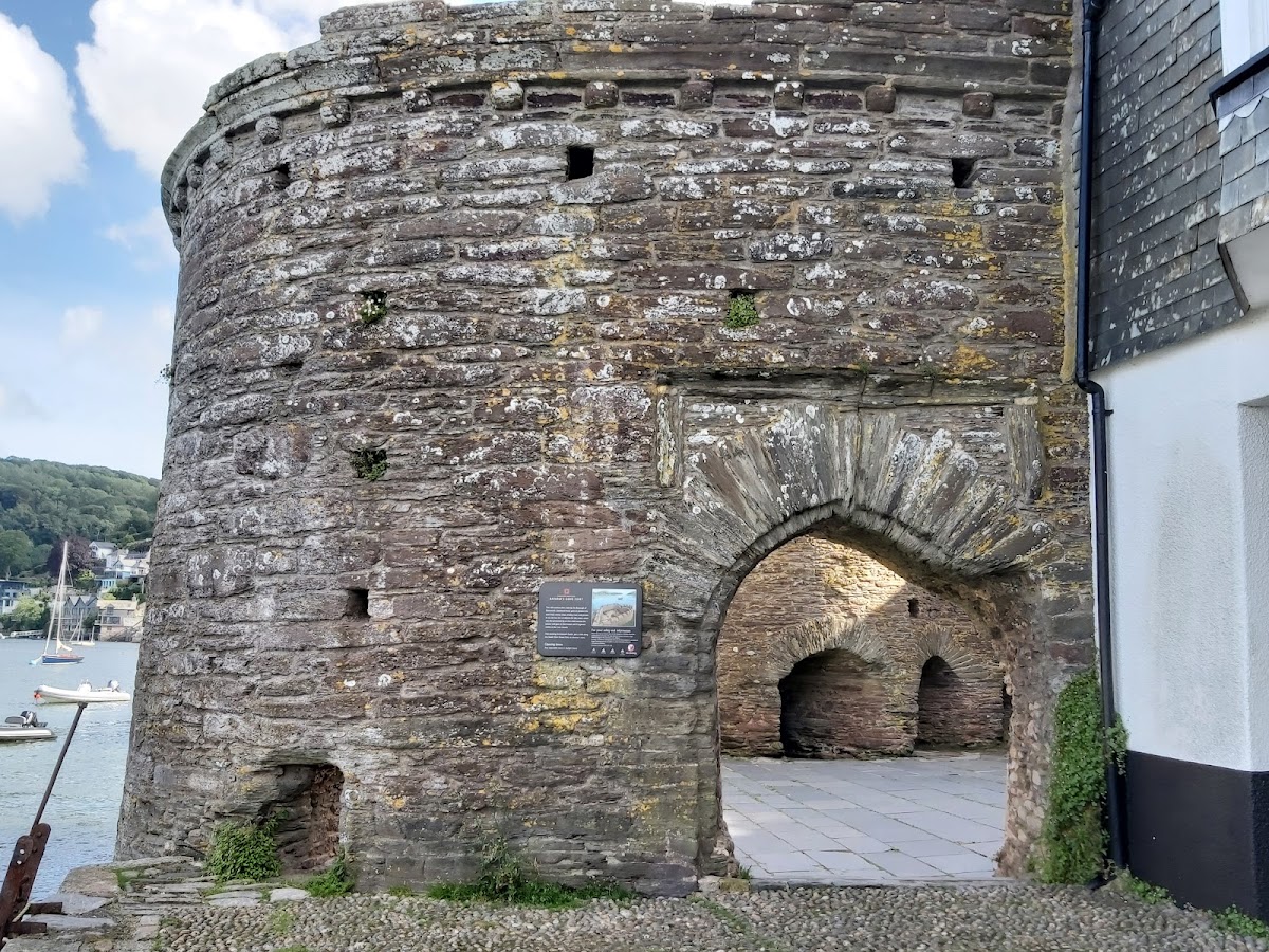
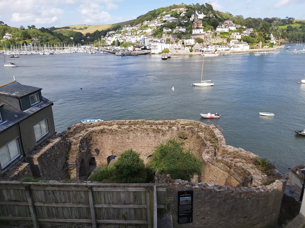
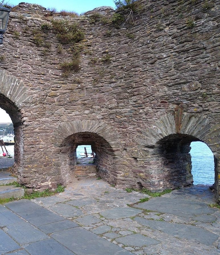
Bayard’s Cove Fort is a limestone artillery blockhouse beside the River Dart at the harbour entrance. A limestone-rubble wall encloses ground cut from the cliff face. The building was probably constructed in at least two phases. Its first circular design was later altered into a more irregular plan.
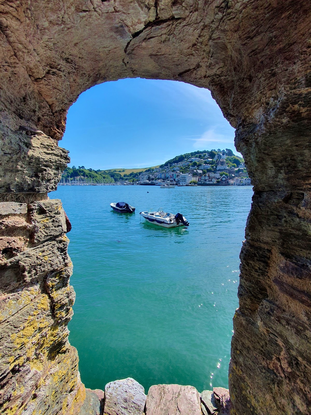
The exterior measures about 18 by 21 metres, while the interior measures approximately 16 by 15.5 metres. The eastern exterior wall is around 1.8 metres thick and 4.6 metres high. Eleven gunports for heavy artillery encircle the ground floor close to sea level. Their design resembles the gunports at Dartmouth Castle, Little Dennis Fort, and St Catherine’s Castle. One gunport was converted into an entrance, while another was blocked.
The fort probably originally had a wall-walk, a passage along the top of a defensive wall, together with a parapet, a low protective wall for musketeers. These features formed part of the building’s defensive arrangement beside the water.
Accommodation and Present Condition
The original garrison accommodation was a lean-to structure on the western side of the fortification. That building has been destroyed, along with the internal modifications associated with the fort’s later use for storage. The surviving fort is now ruined. Its position on a rocky terrace leaves it exposed to frequent flooding and continuing coastal-erosion risk.