The Klüt Fortifications: Defenses of Hameln Fortress
Site at a Glance
- Popularity
- Medium
- Country
- Germany
- Primary era
- Early Modern
- Eras represented
- Early Modern, Modern
- Civilizations
- Holy Roman Empire
- Site type
- Military
- Remains
- Fort
On this page10 sections
History
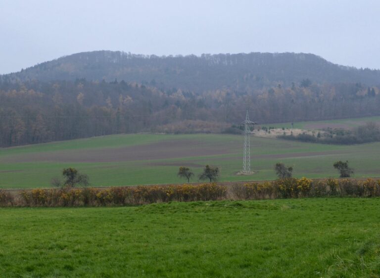
The Klüt Fortifications, also called Fort George, were a chain of eighteenth-century hill forts on a ridge west of Hameln, Germany, built to protect Hameln Fortress across the Weser. Their position formed part of the town’s defenses during a period of conflict and changing control in the Electorate of Hanover.
War and construction
In 1757, during the Seven Years’ War, a major conflict fought in Europe and around the world, Hameln surrendered to French forces after the Battle of Hastenbeck. The town remained under French occupation for about two years. After the French withdrew, George III ordered Hameln’s defenses strengthened from 1760. George was king of Great Britain and Ireland and elector of Hanover, a German principality within the Holy Roman Empire.
Fort I was begun in 1760. Forts II and III followed between 1774 and 1784, when the three separate hill forts were provisionally complete. By the late eighteenth century, Hameln was regarded as the Electorate of Hanover’s strongest fortress and was nicknamed the “Gibraltar of the North.” In 1803, its garrison included nearly 90 officers and more than 3,000 soldiers, armed with cannons, howitzers (guns designed for high-angle fire) and mortars (short-barreled weapons for high-angle fire).
The 1806 capitulation
Fort IV was added in 1806 near the Weser bridge. That November, French troops approached Hameln, where about 9,000 Prussian soldiers had assembled. Skirmishes took place around the town, and guns at Forts I and II fired on the attackers. The events formed part of the Fourth Coalition War of 1806-07, within the wider Napoleonic Wars. After Prussia’s defeats at Jena and Auerstedt, the garrison capitulated on 20 November under General Le Coq. The French force, commanded by General Savary, numbered about 6,000.
The surrender was followed by disorder. Prussian soldiers became drunk, looted and fired weapons in the streets after learning that officers had been granted safe conduct, while ordinary soldiers would be taken prisoner to France. Adelbert von Chamisso, a German-French writer and naturalist serving as a fortress officer, witnessed the events. Captured by the French, he was released on parole.
Demolition and later history
In 1808, Napoleon ordered his war minister, Clarke, to demolish Hameln’s fortifications, including the works on Klüt and the barracks. About 1,000 workers removed the above-ground stonework, and the workforce may have reached 4,000. Stone from Klüt continued to be sold for about two decades and was reused in other buildings. It went into the Klütturm, built in 1843, a forestry building at Finkenborn in the late nineteenth century, and buildings on Ohrberg.
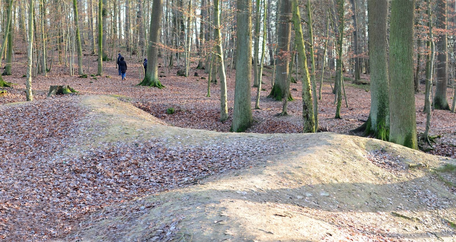
From around the 1820s, Klüt was gradually reforested. During the forts’ military use, defenders had kept the hill treeless to maintain an unobstructed field of fire. Excavation in 1982 established that the defenses had been dismantled down to their foundations. In 2009, building work at Fort I exposed what may have been a destroyed casemate and a buried passage; earthworks also cut into remains of the underground passage between Forts II and III. Illicit digging has damaged parts of the site, while mountain biking over the ramparts and rubble has put remains at risk.
Remains
The ridge and defensive network
The four forts stood at intervals along Klüt’s narrow ridge, which slopes down toward the Weser. Above-ground and underground passages linked them, while communication trenches connected parts of the defenses. Each fort had casemates, protected chambers built into fortifications, within its defensive banks; two forts also had deep wells. Other defenses included two watchtowers, four smaller works that were manned intermittently, mine galleries (underground tunnels used for explosive defenses), felled-tree obstacles and palisades made from upright stakes. Two of the smaller works survive as banks near the Finkenborn forest clearing. Their star-shaped plans have projecting angles.
Earthen banks with steep slopes, earthworks and sections of communication trench remain visible in the landscape. Most of the surviving features lie beneath woodland, but their outlines can still be discerned in the terrain.
Fort I at the highest point
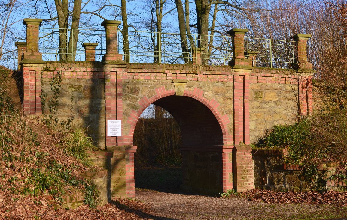
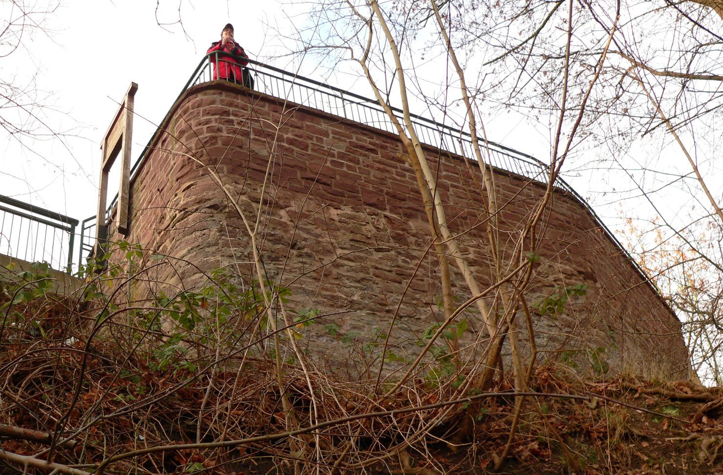
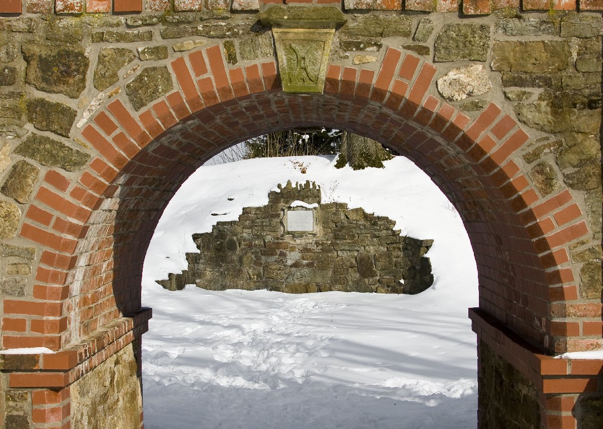
Fort I occupied Klüt’s highest point, in the area of the present Klütturm. It was a six-sided, star-shaped fort entered by drawbridge. A trench and gun position connected it to Fort II. Built from cut stone blocks with brick protective banks, it had casemates that could hold up to 1,200 men and carried 40 guns. A commander’s house stood at its center above a 160-metre-deep well. The well was sealed in 1965, and its wellhead remains visible. The earthwork includes a restored masonry gateway arch, a substantial surviving above-ground stone feature.
Fort II along the ridge
Fort II stood about halfway along the ridge. Its walls were three metres thick, and it had a 138-metre-deep well and 21 guns. Stone fragments remain on the ground. Two watchtowers stood farther down the slope, reached by an open passage with steps.
Fort III on the lower slope
Fort III lay farther down the slope and carried 15 guns. A wall and encircling ditch mark its remains, and a water-supply installation is situated within the former fort.
Fort IV beside the Weser
Fort IV stood at the foot of the hill, between Fort III and the Weser. It was an open-fronted defense rather than a fully enclosed fort. Its ditch blocked the upstream road toward Ohrberg, and a narrow bridge crossed the ditch. A guardhouse with a roof designed to resist projectiles allowed traffic to be watched. The fort had five cannons and was linked to Fort III by communication trenches with parapets, low protective walls or banks.