Obensburg: An Early Medieval Fortification near Coppenbrügge, Germany
Site at a Glance
- Popularity
- Low
- Country
- Germany
- Primary era
- Medieval
- Eras represented
- Medieval, Modern
- Civilizations
- Carolingian, Holy Roman Empire
- Site type
- Military
- Remains
- Fort
On this page8 sections
History
Early medieval origins
Obensburg is an early medieval hilltop fortification near Diedersen in Coppenbrügge, Germany, with construction placed in the ninth century. It is assigned to the ninth through eleventh centuries. Local noble landholders may have built and used it, possibly including the Knights of Hastenbeck.
Archaeologist Konrad Weidemann interpreted the site as a refuge serving a local manorial lordship, a system of lordly control over land and dependent communities, rather than as a permanently occupied stronghold. In times of danger, villagers could shelter there with their possessions, livestock, and crops. Weidemann proposed that the lordship was later absorbed into the holdings of the Counts of Hallermund or transferred to the Hastenbeck estate. The Knights of Hastenbeck held land as fiefs, grants made in return for service or allegiance, from the Counts of Everstein during the thirteenth and fourteenth centuries, and from the Welf dukes of Brunswick-Lüneburg from 1408. Their properties at Hastenbeck and Diedersen lay on opposite sides of the Schecken ridge, and their family line ended around 1550.
Battle during the Seven Years’ War
In 1757, during the Seven Years’ War, an international conflict fought from 1756 to 1763, French forces fought an allied observation army aligned with Prussia west of the Schecken ridge. The allies placed three Jäger companies, or light infantry units, at Obensburg. On 26 July, French troops captured the position and moved behind the allied army. The allies fired 18 cannons at them from higher ground, then retook the site under Colonels von Breidenbach and von Dachenhausen. They soon evacuated it.
Pavilion and historical study
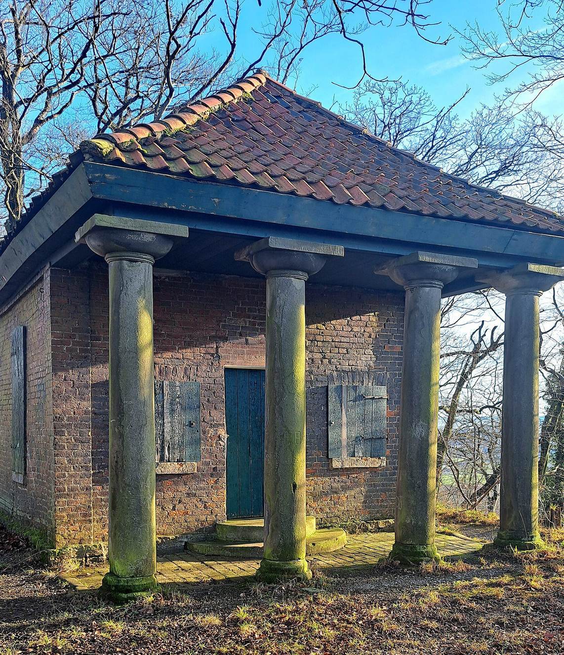
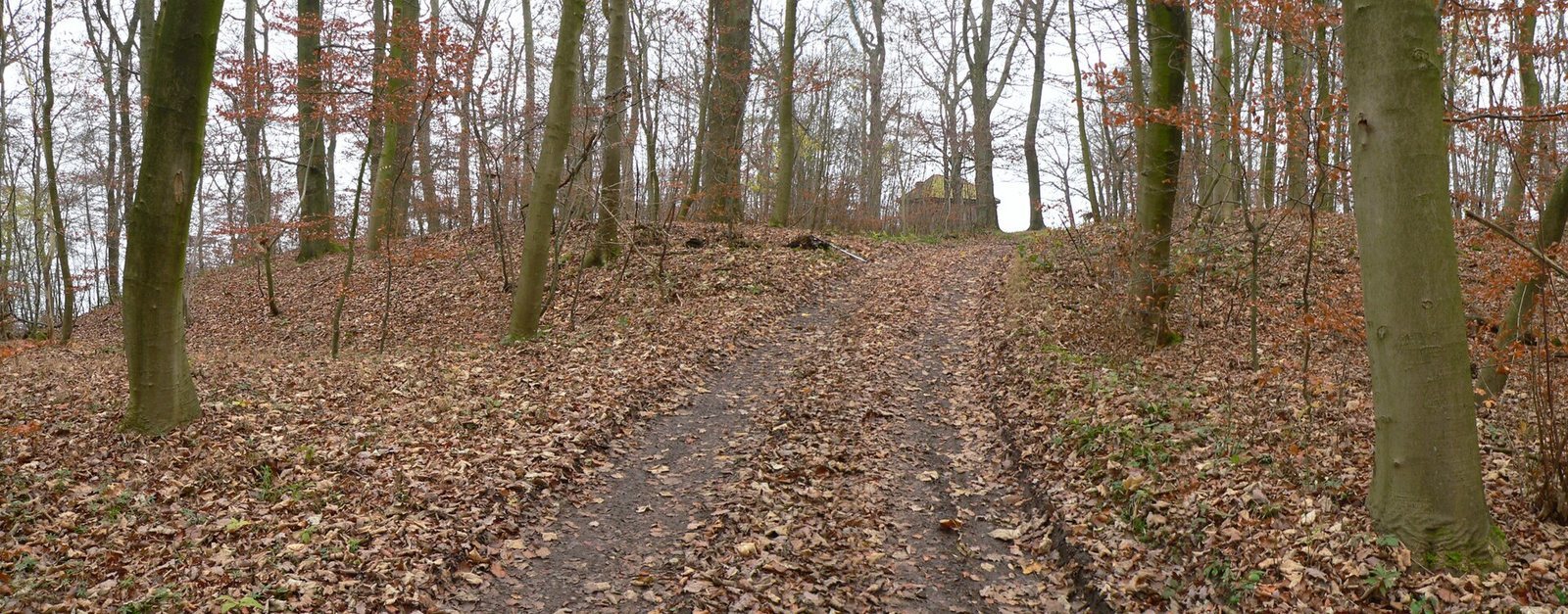
Around 1800, the von Hake family erected a hunting pavilion inside the fortification. It belonged to the Diedersen estate. Around 1900, prehistorian Carl Schuchhardt measured the site and included it in an atlas of prehistoric fortifications in Lower Saxony.
Remains
Enclosure and defenses
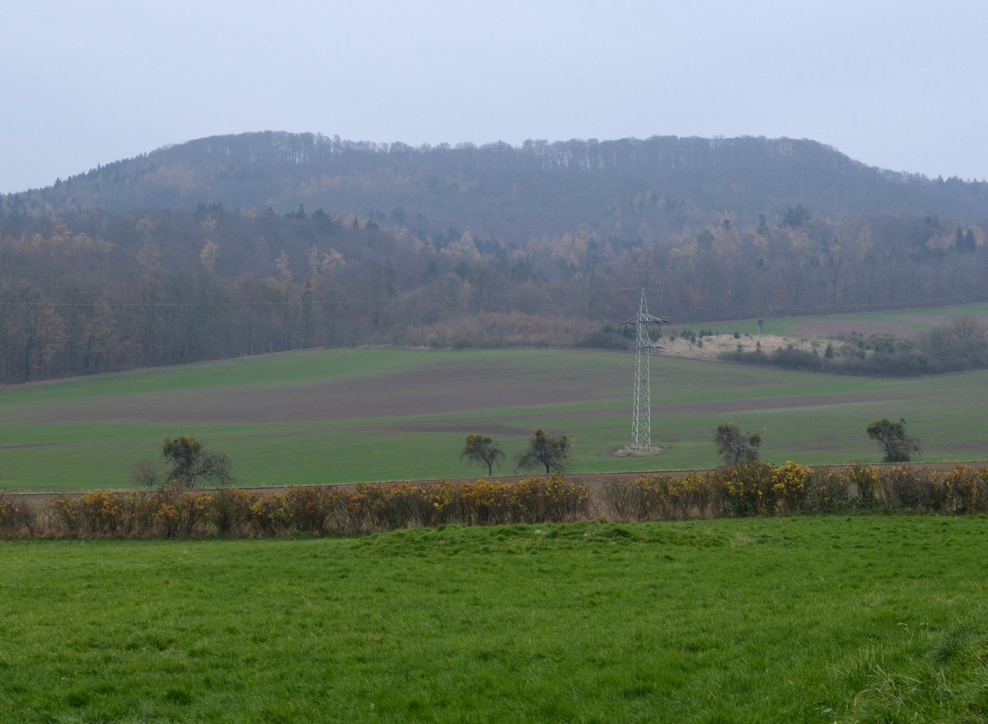
The enclosure occupies the highest point of the wooded Schecken ridge, at 286 metres above sea level, beside the upper edge of a steep slope. The ridge runs north to south and falls sharply west toward Hastenbeck, Afferde, and the Weser lowlands. The enclosure measures about 80 by 70 metres and covers nearly half a hectare; the early medieval Sassenburg lies about 500 metres away. Steep slopes to the south and southwest offered natural protection, reinforced by a terrace 8 metres lower. A semicircular rampart, 5 metres wide, defended the north and east sides. Inside it are remains of a stone wall 1.35 metres thick, bonded with lime mortar. A ditch in front of the rampart is 5 to 9 metres wide and up to 1 metre deep; the height difference from its bottom to the rampart crest reaches 2.5 metres. The entrance passed through an opening in the rampart, which Schuchhardt interpreted as a pincer gate, an entrance whose projecting defenses channel access into a narrow approach.
Barrier across the old path
About 200 metres southeast of the enclosure, a barrier crosses an old path leading toward it. The barrier consists of a flat-bottomed ditch 30 metres long and up to 3.5 metres deep, together with a wall section almost 10 metres long and about 1 metre high.
Hunting pavilion
The pavilion stands within the enclosure and has a projecting portico supported by columns. Its design is Neoclassical.