Saarbrücken Roman Fort: A Late Roman Security Post
Site at a Glance
- Popularity
- Medium
- Country
- Germany
- Primary era
- Classical
- Eras represented
- Classical
- Civilizations
- Roman
- Site type
- Military
- Remains
- Fort
On this page18 sections
History
The Saarbrücken Roman Fort is a Roman military enclosure in Saarbrücken, Germany, built after AD 353 and occupied during the fourth and fifth centuries. It stood beside the civilian settlement of Vicus Saravus, where routes between Strasbourg and Trier, and Metz and Worms, met the navigable Saar. The position at a road junction and river crossing probably made the fort useful for protecting the settlement and nearby communications. It was classified as a security post in the hinterland of the Roman province of Belgica I.
The settlement and its roads
Vicus Saravus developed in the first century AD alongside, or shortly after, the construction of long-distance Roman roads. The settlement first belonged to Gallia Belgica, a Roman province. Following Emperor Diocletian’s reorganization of provincial administration, it became part of Belgica Prima. From the second century, springs on the Schwarzenberg supplied its drinking water.
An inscribed milestone bears the name Vicus Saravus. A bridge near the settlement has been proposed, but the crossing may instead have been made at a ford. The Saar itself was navigable, adding to the value of the location.
Raids and construction of the fort
An Alamannic raid, carried out by a Germanic people, burned the settlement in 259/260. The inhabitants rebuilt it, but another Germanic incursion around 350 may have led to the fort’s construction. The fort was built after AD 353. Its construction may have been connected either with Julian’s campaigns in Gaul in 357–359 or with the expansion of imperial defenses under Valentinian I, emperor from 364 to 375.
The fort probably helped secure the crossing, the road junction, and the civilian settlement. Its occupation is broadly dated to the fourth and fifth centuries. The coins recovered from the fort also place activity there within this later Roman period.
Decline and rediscovery
After the Rhine crossing of 406 and the events that followed, the Saarbrücken area increasingly came under Germanic control. The fort and settlement were ultimately destroyed, abandoned, or both; their final fate remains unresolved.
Roman remains in Saarbrücken were known by the seventeenth century, and leveling work exposed foundations of settlement buildings in the mid-eighteenth century. In 1924, building work prompted monument conservator Carl Klein to investigate the settlement, revealing the fort’s foundations and allowing them to be measured. Further excavations followed in 1927 under Klein, in 1932 under Franz Josef Keller, and in 1962 under Reinhard Schindler. Bombing during the Second World War destroyed earlier excavation records, making some initial interpretations difficult to reassess. The remains are protected as an archaeological monument under Saarland law.
Remains
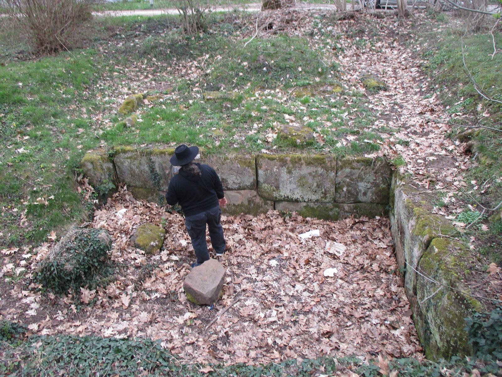
The enclosure covers about 0.66 hectares on a low terrace in the Saar valley floodplain, between the Halberg to the east and the Kaninchenberg to the north. Its polygonal plan combines a roughly rectangular southwest part with a trapezoidal section to the northeast. The remains are in a park in the St Johann district, north of the East Harbor.
The fort enclosure
Plan and towers
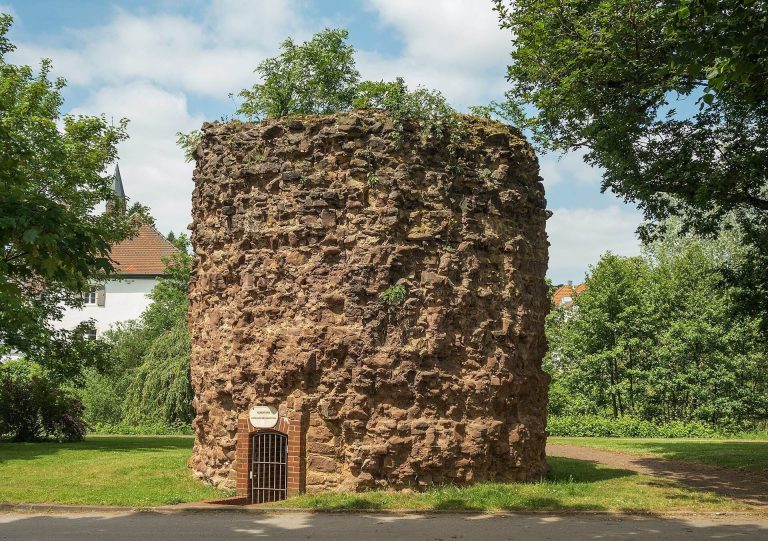
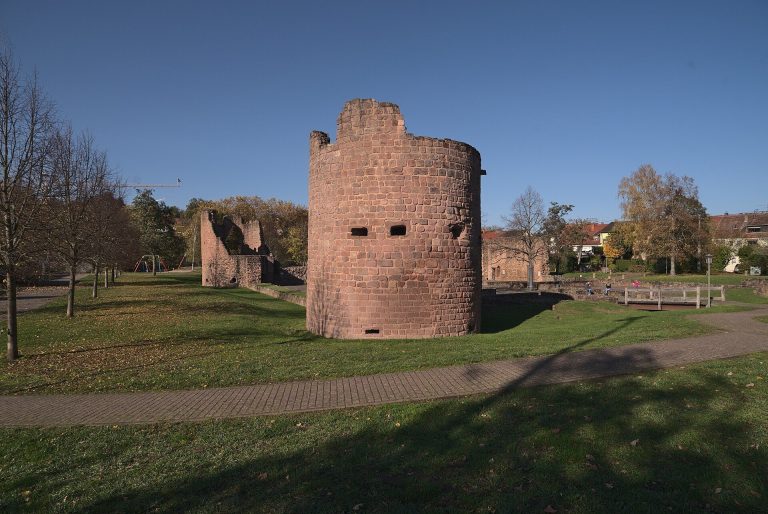
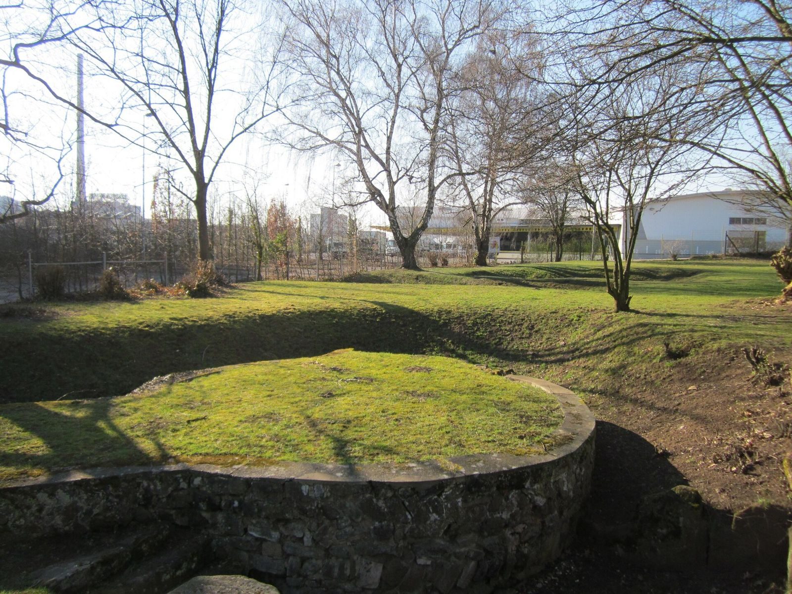
The fort’s presumed front faced northeast, while its rectangular rear end lay toward the Saar to the southwest. Four round towers stood at the corners of the forward, trapezoidal section. Each measured between 6.4 and 6.8 metres across. The northeast tower was fully excavated, revealing a substantial deposit of fire debris.
Foundations and wall construction
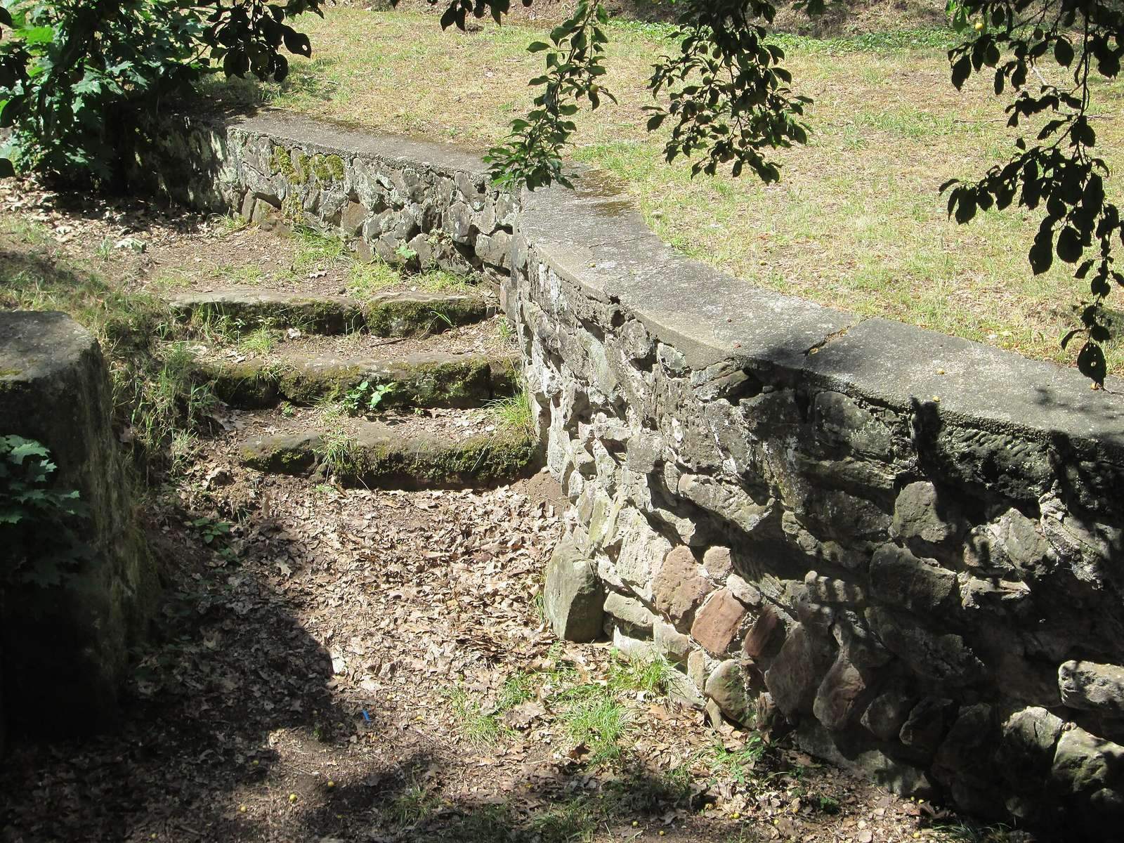
The wall foundations reach 2.00–2.15 metres below the present ground surface. Their core consists of Roman concrete with courses of stones set on edge. The outer facing uses roughly worked sandstone rubble arranged in a herringbone pattern. The foundations have been partly reconstructed.
Roads and settlement buildings
The Metz–Worms road
A Roman road connecting Metz and Worms crossed the centre of the fort from south-southwest to north-northeast, just 30–40 centimetres beneath the modern surface. Within the enclosure, dressed limestone edged the road, and small limestone pieces formed a bedding layer as much as 12 centimetres thick. Limestone was not available locally, unlike sandstone. A separate 63-metre stretch of the road outside the fort was built of sandstone. Excavation south of the East Harbor in 2009 confirmed another section of this route.
A second road surface, found west of and parallel to the main route, may have served the fort’s internal circulation or the civilian settlement.
Vicus buildings
Foundations of houses belonging to the earlier civilian settlement lie mainly north and east of the fort, with other building remains inside its enclosure. A small building beside the northeast tower measured 4.5 by 3.8 metres internally; another measured 3.4 by 1.2 metres. Both belonged to the earlier settlement.
Building with underfloor heating
Outside the enclosure’s southern corner, excavators found a substantial building with an underfloor heating system. It may have been a villa, although that identification is uncertain.
Cult sites
Mithras sanctuary
A sanctuary of the Roman mystery cult of Mithras, known as a Mithraeum, occupied a rock grotto on the Halberg.
Mercury sanctuary
A sanctuary dedicated to Mercury, a Roman god, stood on the Eschberg to the northeast.
Finds and burial
Pottery and coins
A fragment of fine Roman tableware called terra sigillata bears the stamp “VITRIOFE,” interpreted as “Vitrius made it.” It came from an East Gallic pottery workshop, possibly at Trier, and dates to about AD 150–160. Coins from the fort range from an antoninianus of Tetricus, dated 271–274, to a small bronze coin of Julian, dated 360–363. Coins from the civilian settlement range from one of Claudius, dated 41–54, to one of Magnentius, dated 350–353.
Finds from Roman sites in Saarbrücken are held by the Museum of Prehistory and Early History of the Saarland Cultural Heritage Foundation.
Late Roman burial
An excavation south of the East Harbor in 2009 uncovered a late Roman burial with an intact skeleton. The deceased wore shoes fastened with nails, and the burial’s interpretation remains unresolved.