Forum of Philippopolis: Roman Civic and Commercial Center
Site at a Glance
- Popularity
- Medium
- Country
- Bulgaria
- Primary era
- Classical
- Eras represented
- Classical
- Civilizations
- Roman, Thracian
- Site type
- Civic
- Remains
- Forum
On this page14 sections
History
The Forum of Philippopolis was the public and commercial center of the ancient city, now Plovdiv, Bulgaria. Its earliest building activity dates to around the turn of the era, before the forum’s development under Roman urban planning.
Early development
The first phase is associated with the reigns of Thracian king Rhoemetalces and Augustus, Rome’s first emperor. At that time, the forum served mainly as a place for commerce. A rebuilding in the middle of the first century AD added the first administrative buildings and broadened its role to include civic government and religious activity.
Under Emperor Vespasian, who ruled from AD 69 to 79, Philippopolis adopted a new city plan based on the Roman model. A temple for the imperial cult, religious practices honoring the emperor and imperial authority, was built in the northern part of the forum during his reign. The complex was developed chiefly in the first century and completed in the second.
Roman-era activity and abandonment
Further rebuilding took place in the early second century under Trajan and Hadrian, followed by the last major alterations in the later third century. The forum was a setting for meetings, discussions, festivals, and state events, as well as trade. People from the city and surrounding region exchanged grain, wood, and honey for fine pottery and bronze vessels brought from Italy.
Around the middle of the fifth century, invasions led residents to leave the lowland neighborhoods and move to the acropolis, the settlement’s elevated, fortified core. The forum then ceased to function.
Rediscovery and excavation
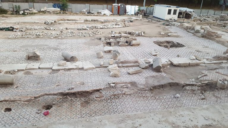
The forum came to light in 1971 during construction of Plovdiv’s central post office. Excavations followed in the 1980s, with major campaigns in 1990 and 1991. Investigations in 2012 and 2014 examined western parts of the complex; work in 2012 exposed 400 square metres in the northwest, between the post office and Tsar Simeon Garden. In 1995, the site was designated a cultural monument of national importance for its archaeological value.
Remains
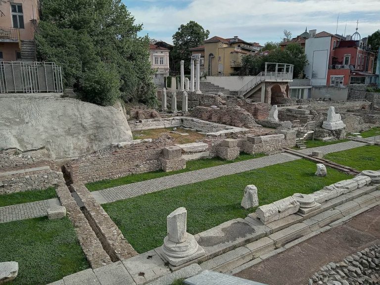
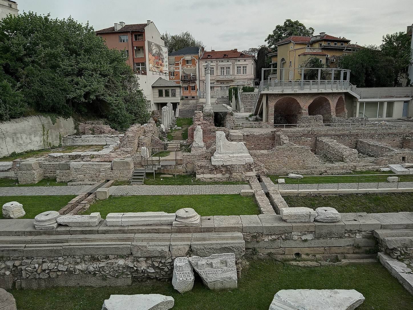
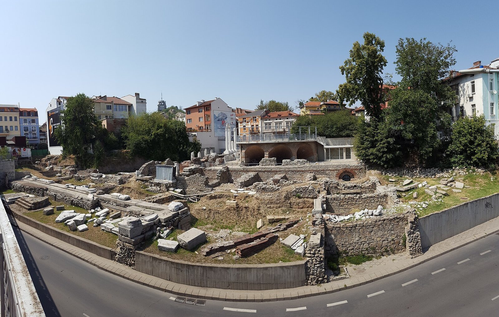
The complex covered about 20 hectares and had a nearly square plan, measuring 143 metres from north to south and 136 metres from east to west. Its central square was enclosed by a raised, colonnaded base, with rows of shops along the east, south, and west sides and public buildings to the north. About 11 hectares have been excavated and exposed; modern buildings cover the rest. The central post office stands over the western part, while construction of Maria Luiza Boulevard in the 1980s separated the northern area from the rest and damaged part of the complex.
Square and colonnade
Central square and covered walkway
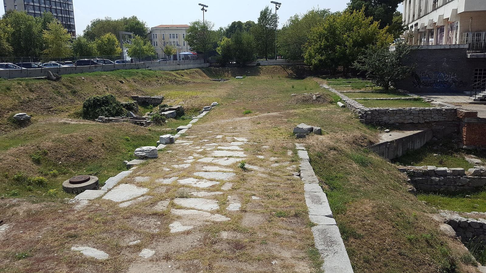
Marble slabs paved the square, whose interior initially measured 120 by 100 metres. Its dimensions later became 113 by 99.8 metres when the raised base around it was enlarged. A colonnade enclosed the space, with a covered walkway running through it. Drainage channels made from sandstone or syenite blocks followed the inner edge of the base.
Changes in construction
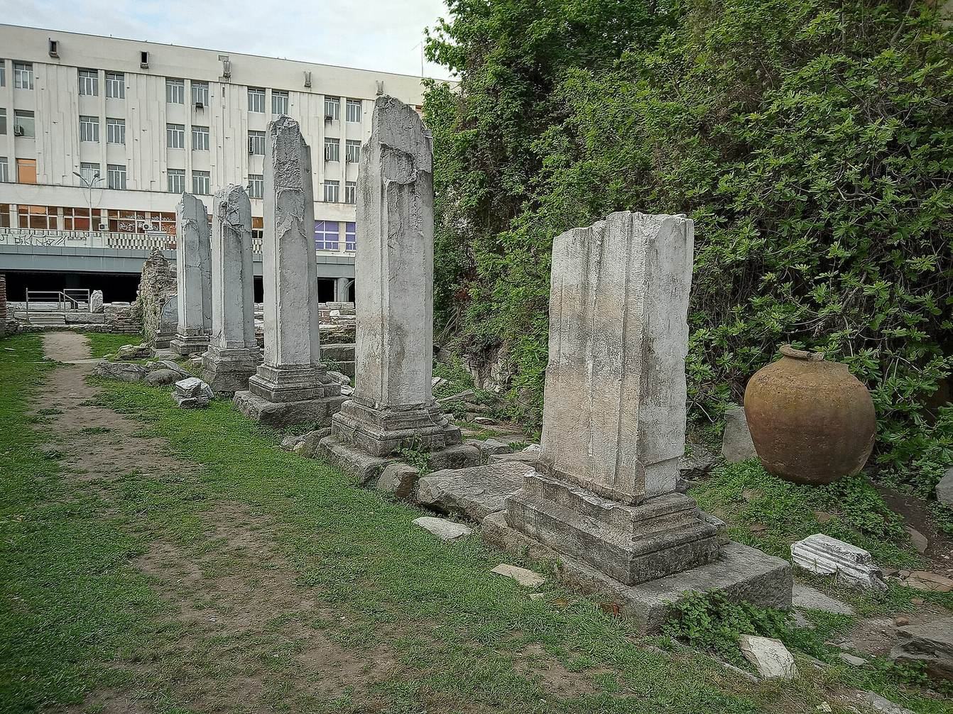
The forum’s four main building phases can be distinguished by changes in levels, design, and materials. In the second phase, builders raised the square, shops, and covered walkway, added a sandstone colonnade in the Doric style, and installed four-column gateways in the Ionic style. A stone roof drain remained in its original position. In the third phase, the relief decoration was replaced and the colonnade around the square was rebuilt in marble. In the final phase, a new syenite platform supported a marble arcade of free-standing columns in the Roman Corinthian style, a Roman adaptation of Corinthian column design. The best-preserved original remains belong to this phase.
Shops and access
Rows of shops
The eastern and western sides each held 24 shops, while the southern side had 22. The buildings followed a standard plan, measuring 5.56 by 5.92 metres. An 11-metre-wide covered portico separated the shops from the open square. Customers entered them from the square through the portico, rather than from the streets behind.
Gateways and streets
Formal gateways on the east, south, and west sides aligned with streets beside the forum. Each stood on a sandstone base measuring 3.55 by 11.88 metres, raised 1.2 metres above street level, and carried four columns 90 centimetres in diameter. A principal entrance also stood on the north side. Smaller entrances occupied the northeast and southeast corners, and another may have been located in the unexcavated western area. The city’s main north-south and east-west streets met outside the eastern entrance. Streets within the complex measured between 4.7 and 8 metres across, most commonly 5.8 metres.
Public buildings and finds
Civic buildings
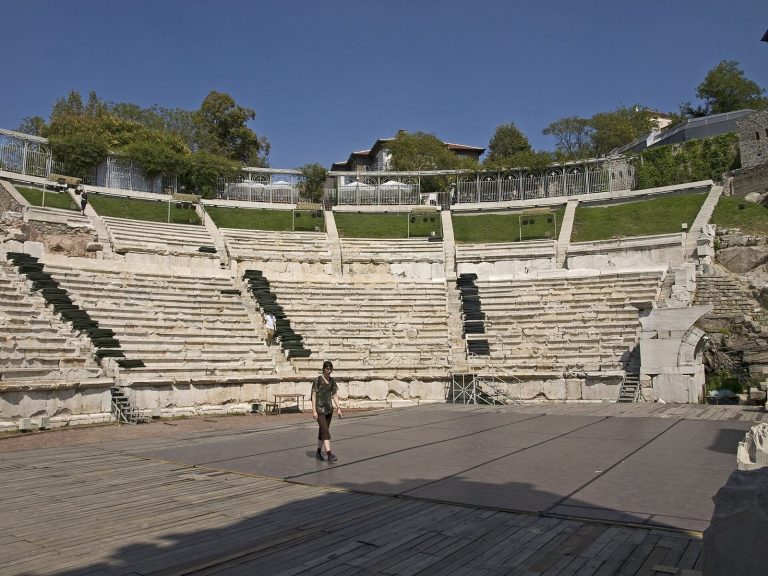
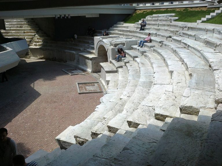
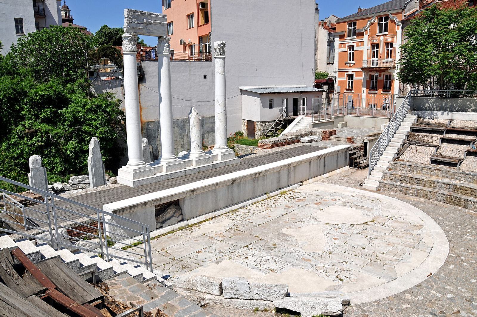
Public buildings occupied the northern part of the complex along an east-west line. They included a treasury, a performance and assembly hall in the northeast, and a library to its west. The hall is also identified as a council chamber; its remains include restored columns and rows of seats. A large building in the eastern part was identified as a residence.
Inscriptions and features of the square
Stone inscriptions from the northern area concern the city’s religious and administrative life, and one fragment announces gladiatorial contests. Other remains include statue bases, a built platform used for public speaking, and an inscribed altar dedicated to Demeter, a goddess associated with agriculture, and Kore, also known as Persephone and associated with the underworld and seasonal renewal. Altars to ancient deities, statues of prominent people, fountains, and artificial water channels also formed part of the square’s features.