Ōtomo Clan Ruins: A Medieval Residence and Castle-Town Center in Japan
Site at a Glance
- Popularity
- Medium
- Country
- Japan
- Primary era
- Medieval
- Eras represented
- Medieval, Early Modern
- Civilizations
- Ashikaga shogunate, Kamakura shogunate
- Site type
- Civic
- Remains
- Palace
On this page9 sections
History
Clan residence and family temple
The Ōtomo Clan Ruins are the remains of a medieval residence and castle-town center in present-day Ōita City, Japan. The Ōtomo family’s residence was established in the second half of the fourteenth century and is associated with Ōtomo Ujiyasu, whose precise role in its construction is uncertain. The family held the office of provincial military governor of Bungo, a medieval post responsible for a province. Bungo was a historical province in eastern Kyushu, and the residence became the political center of the clan’s castle town.
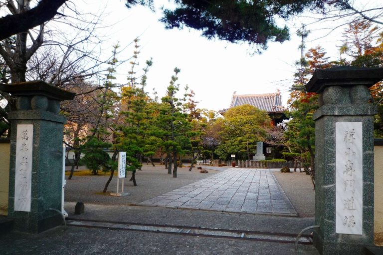
The Ōtomo family temple was founded in 1306 by Ōtomo Sadachika. During the Muromachi period, a medieval era of rule associated with the Ashikaga shogunate, it ranked among the Ten Temples, a high-ranking tier in the Zen Buddhist temple hierarchy.
Ōtomo Sōrin’s trading town
Under Ōtomo Sōrin, the clan’s power extended over almost all of Kyushu. The town prospered as the family’s center and as a port for trade with Ming China and overseas merchants.
Sōrin also supported Christianity, and European-influenced culture took root in the town. A Western-style hospital opened in 1557, followed in 1580 by a Christian seminary, an institution for religious training.
Invasion and later change
In 1586, during the invasion by Shimazu Iehisa, the town was reportedly burned and devastated. The Portuguese Jesuit historian Luís Fróis recorded the destruction. The Ōtomo residence and family temple are also said to have burned in the invasion.
The hilltop residence south of the town was abandoned after Fukuhara Naotaka built a castle there in 1597. The family temple was re-established in 1631, about 500 metres north of its former location.
Archaeological reinterpretation and designation
Before excavations began in the late 1990s, the hilltop residence was thought to have been the Ōtomo clan’s principal residence. Excavations instead revealed the main residence on the plain to its north, revising that identification.
The ruins became a National Historic Site in 2001 under the name “Ōtomo Residence Site.” In 2005, the designation was expanded to include the former temple grounds and the site took its present name. A section of the hilltop residence was added in 2014, followed in 2015 by a presumed storehouse site.
Remains
The medieval town extended about 0.7 kilometres east to west and 2.2 kilometres north to south. Its central residence stood near what was then the mouth of the Ōita River. The remains also include the former family temple southeast of the residence and a separate compound on a hill to the south.
The central residence
The residence occupied a four-sided enclosure measuring about 200 metres on each side, a layout considered typical of a provincial military governor’s residence. Excavations have uncovered garden remains dating to the fifteenth and sixteenth centuries, prepared ground layers, and buildings supported by posts set directly into the ground. Together, these remains indicate that a large building stood within the enclosure. Ceramics from South China and Southeast Asia have been found around the residence, many with heat damage. Christian objects recovered there include rosary beads and medals.
The former family temple
The former temple site lies southeast of the residence. Its remains indicate an arrangement of buildings associated with Zen temples. A five-story pagoda is traditionally said to have stood in front of the temple gate. Finds from the area include a red-ground bowl with floral decoration in a gold-brocade-like pattern, the first example of its kind excavated in Japan, and a brown-glazed ceramic ewer, the second example of its kind found in Japan.
The southern hilltop compound
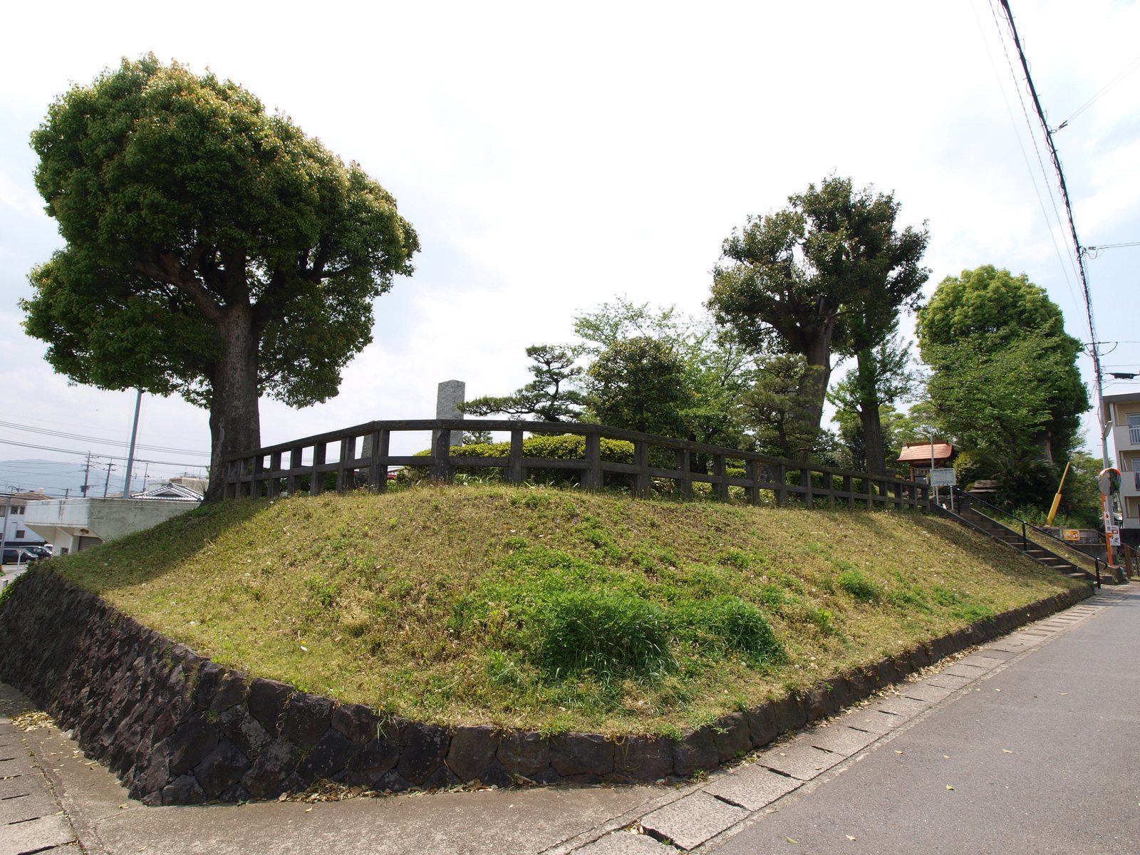
The hilltop residence covered an area about 130 metres east to west and 156 metres north to south. Traces of its earthen ramparts and moat remain.