Risco Caído: An Indigenous Canarian Archaeological Cave Site
Site at a Glance
- Popularity
- Medium
- Country
- Spain
- Primary era
- Unclassified
- Eras represented
- Unclassified
- Civilizations
- Unclassified
- Site type
- Settlement
- Remains
- Village
On this page8 sections
History
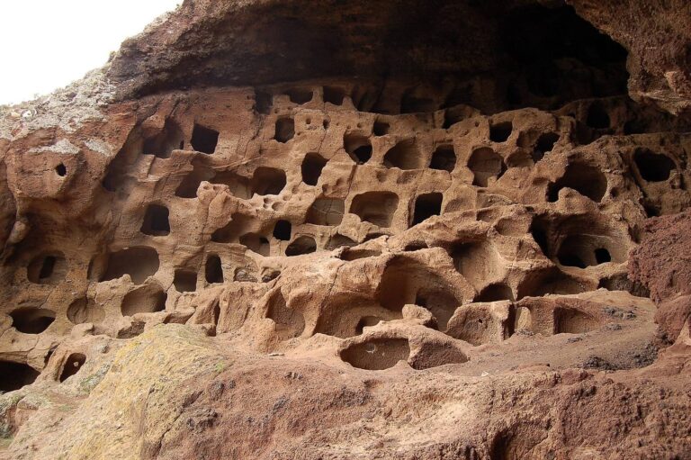
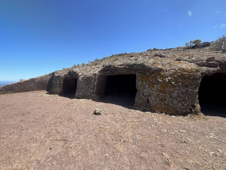
Risco Caído is a group of caves associated with the Indigenous Canarian culture, on Gran Canaria, Spain. The caves served for habitation, farming and livestock raising for at least 600 years, and may have remained in use until the beginning of the twentieth century.
Indigenous Canarian use and sacred traditions
The Indigenous Canarian culture developed in relative isolation after people of Amazigh, also known as Berber, origin arrived from North Africa around the beginning of the Common Era. Sporadic contacts with southern European sailors took place in the fourteenth century. These sailors sought spice routes and were also involved in slave trading. The period of relative isolation ended with the fifteenth-century conquest by Castile, the medieval kingdom on the Iberian Peninsula.
Cave C6 is thought to have served as an almogaren, a sacred place for religious gatherings, used by Faycanes, Canarian priests. Its triangular engravings have been tentatively interpreted as depictions of the pubic area, leading to the suggestion that the cave was a fertility temple. Risco Caído is also identified as one of two sacred temples in the wider landscape where seasonal ceremonies took place. These temples have been tentatively linked to a possible cult of the stars and Mother Earth.
Modern interpretation and heritage recognition
The proposal that Risco Caído functioned as an astronomical observatory remains disputed. Mathematician José Barrios and geographer Eustaquio Villalba challenged the interpretation. Barrios argued that it lacked scientific study, identifiable astronomical markers and published technical reports. The critics also objected to what they regarded as excessive institutional protection compared with other sites on Gran Canaria, including Cuatro Puertas. They questioned whether a single article by the site’s discoverer, archaeologist Julio Cuenca, was an adequate basis for international recognition. The astronomical hypothesis was a fundamental reason for the World Heritage inscription.
Risco Caído was declared an Asset of Cultural Interest as an archaeological zone in 2017. On 7 July 2019, the wider Risco Caído and Sacred Mountains of Gran Canaria Cultural Landscape was added to the UNESCO World Heritage List. UNESCO, the United Nations agency responsible for the list, inscribed it under criterion (iii), concerning exceptional testimony to a cultural tradition or civilization, and criterion (v), concerning outstanding examples of traditional settlement or land use. It was the first World Heritage property on Gran Canaria and in Las Palmas province, and the fifth in the Canary Islands.
Remains
The cave group and its setting
Position and form
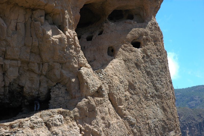
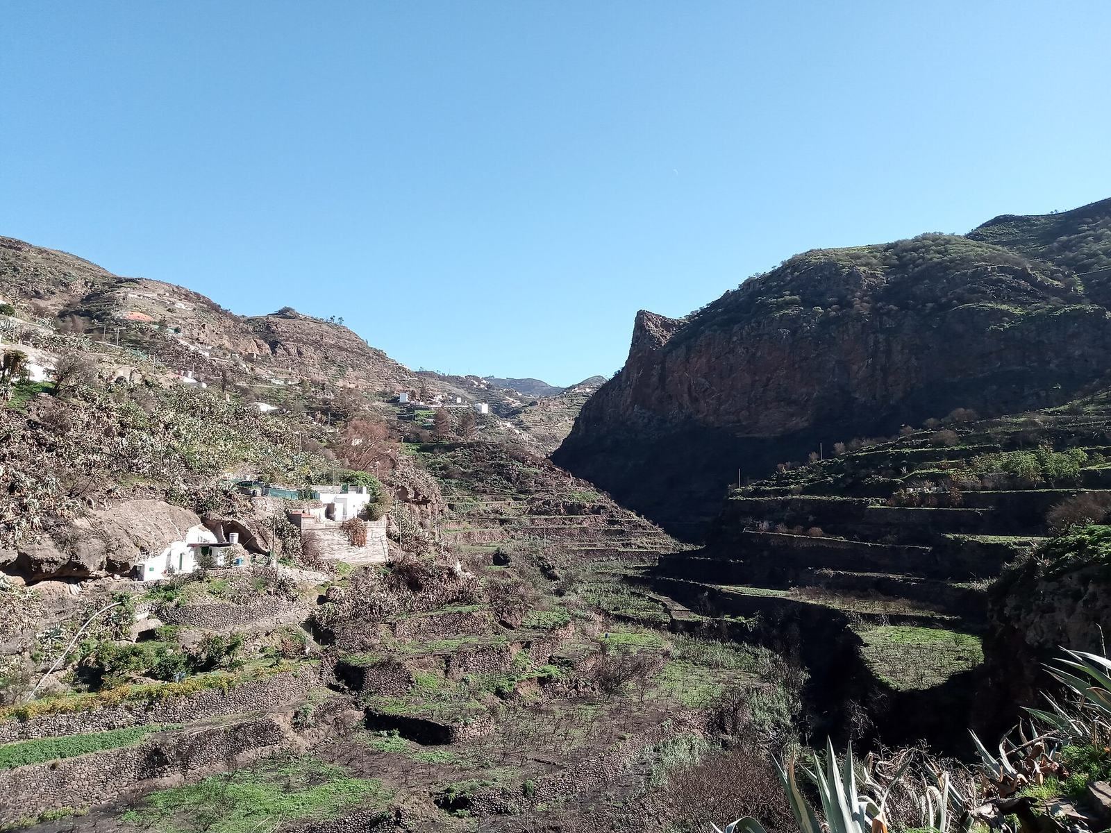
The archaeological site comprises 21 caves cut into volcanic rock on the left bank of Barranco Hondo, the ravine separating the municipalities of Artenara and Gáldar. They occupy a projecting section of the ravine’s volcanic cliff, about 100 metres above its floor.
Cave C6
Cave C6 has a vaulted structure described as unique in the Canary Islands. An artificial opening admits dawn light, creating an optical effect on images engraved on the cave wall.
The wider cultural landscape
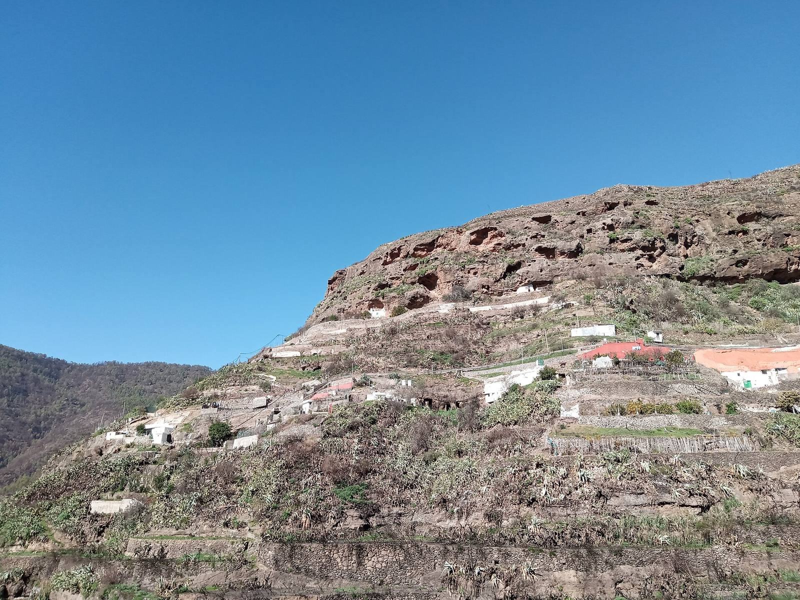
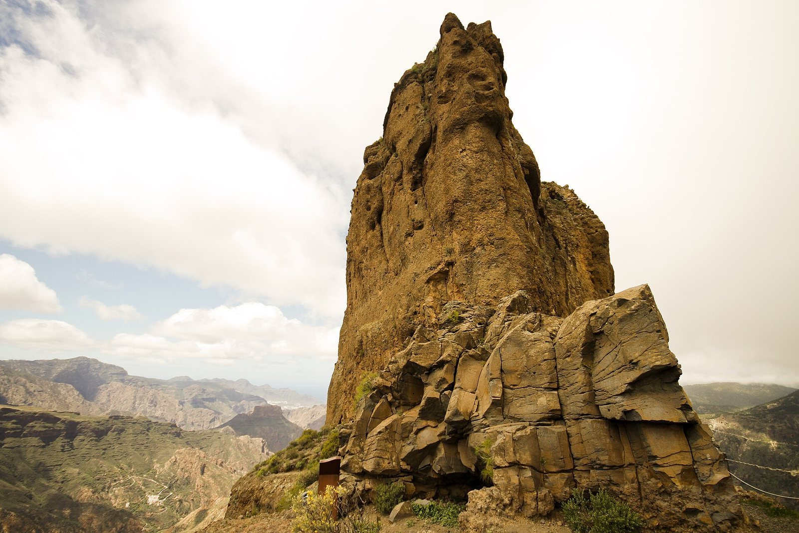
The cultural landscape lies in Gran Canaria’s central mountains and includes almost all of the Tejeda basin, the Tamadaba massif and part of Barranco Hondo, across the municipalities of Artenara, Tejeda, Gáldar and Agaete. Its cliffs, ravines and volcanic formations support rich biodiversity. The landscape covers about 18,000 hectares; the World Heritage property covers 9,425 hectares, with an 8,557-hectare buffer zone. Archaeological remains across this area include cave settlements, temples, fortified granaries, cisterns, agricultural terraces, water-management installations, painted caves and rock-art sites. Other named places include Roque Bentayga, a 1,441-metre rocky outcrop with settlement and temple remains around it; Cueva de los Candiles on Risco de Chapín; and the Acusa archaeological complex.