Libušín: An Early Medieval Hillfort in Czechia
Site at a Glance
- Popularity
- Medium
- Country
- Czechia
- Primary era
- Medieval
- Eras represented
- Medieval, Early Modern, Modern
- Civilizations
- Austrian Empire, Duchy of Bohemia, Habsburg, Habsburg Austria, Holy Roman Empire, Kingdom of Bohemia
- Site type
- Military
- Remains
- Fort
On this page13 sections
History
Libušín is an early medieval hillfort about one kilometre southwest of the town of Libušín in Czechia. Its fortified phase is dated to the second third of the tenth century, no earlier than the rule of Duke Boleslav I, a member of the Přemyslid dynasty, the ruling house of early Bohemia.
Earlier occupation and the Libuše legend
People occupied the site during the Middle and Late Bronze Age, and again in the Hallstatt and La Tène periods, successive phases of central European prehistory associated especially with the Iron Age. In the sixth and seventh centuries, the era later tradition assigned to Princess Libuše, the settlement here was unfortified.
The twelfth-century chronicler Cosmas connected the hillfort with Libuše, a legendary Bohemian princess. He described it as her residence, the place where she foretold Prague’s future greatness, and her burial place. This tradition is not confirmed by the archaeological evidence.
Foundation and purpose
Archaeological study first placed the hillfort’s foundation in the late ninth century. A later reassessment moved its date to the second third of the tenth century, making a foundation earlier than Boleslav I’s reign unlikely. The hillfort’s function remains uncertain. Its proximity to Budeč makes a founder outside the Přemyslid dynasty seem unlikely, while its dating does not fit a proposal that it was built to secure the borders of the Přemyslid domain.
Libušín may have controlled a route from central Bohemia to the central Ohře region. Its scale, defenses, and likely church resemble those of Žatec, Tetín, and Lštění, fortified sites established as administrative, economic, and residential centers. Libušín may have been intended for a similar role, but it did not develop into such a center. It was also outside Bohemia’s castle-administration system, a network of fortified places with administrative duties.
A small group of finds points to the presence of people of high social rank. Textile production and leatherworking are the crafts identified for the hillfort period. The date of a church at Libušín is uncertain. Graves beside the Church of St George began before the middle of the thirteenth century, and the burial ground makes an earlier church plausible, though its presence in the tenth century cannot be established.
Contraction and later occupation
The fortified settlement lasted for a relatively short time and later contracted. It may have become an ordinary farmstead while some defenses remained in use. The hillfort probably ceased functioning by the second third of the eleventh century at the latest, although it may have continued to serve other purposes. Libušín was occupied again in the High Middle Ages and early modern period. A village called Hradiště stood near the church during the High Middle Ages.
Matyáš Kalina z Jäthensteinu carried out the first archaeological investigation in 1835. Josef Ladislav Píč examined the hillfort in the early twentieth century, followed by research directed by Jaroslav Böhm in 1929, 1949–1952, and 1956. Josef Kabát and Zdeněk Váňa conducted further work in 1966 and 1970–1971. They published an early interpretation of the hillfort’s possible functions, which Váňa later developed on his own.
Remains
The 12.3-hectare hillfort occupied a wooded plateau, around 400 metres above sea level, between the deep ravines of St George’s Stream and Libušín Stream. The plateau narrows northeast into a spur. Steep slopes, dropping by as much as 60 metres, protected its sides, while access was possible from the southwest. The four-part layout included a fortified central area, or acropolis, and adjoining enclosed areas called wards. Construction took place in three phases: initial defenses around the central area and inner ward, later stone reinforcement of their southern defenses, and a new defensive enclosure around a spring north of the acropolis. The outer ward’s bank has an uncertain date. Twentieth-century activity at the Schöller coal mine disturbed the northern edge, where mine spoil almost levelled the terrain.
Defensive banks and entrances
Outer ward
The outer ward covered 4.6 hectares. A ditch and an earth bank defended its accessible southwestern side, while the sides of the spur were not fortified. The surviving bank is 315 metres long and rises to 1.3 metres. It was built of timber and earth, without a stone outer facing.
Inner defenses and acropolis
The inner ward’s defensive bank connected continuously with the defenses around the acropolis, and a ditch followed its southeastern side. Where the bank crosses the spur, it survives for 220 metres and reaches 4.8 metres high; the bank around the central area is about three metres high. In the most strategically important places, a stone wall up to four metres thick had a framework of wood and earth against its inner side. The earliest bank combined timber and earth with a stone facing. Some stretches were strengthened later with stones bonded in clay. The stonework added in the second phase amounted to at least 1,500 cubic metres.
Gates and spring
The 2.63-hectare acropolis originally had entrances on its southeastern and northern sides. At both gates, one wall wing projected beyond the other to shape the approach. The southeastern passage was four metres long and divided into two lanes by wooden posts. Outside it, the posts connected to a projecting, prism-shaped stone defensive feature. In the third phase, the northern gate linking the inner ward to the acropolis was blocked, and access was redirected to the spring on the northern slope. A new defensive line enclosed the spring.
Buildings and later structures
Buildings in the acropolis
Excavations revealed internal buildings from both before and after the hillfort period. Three above-ground structures from the fortified phase stood on upright posts set into the ground, north and northwest of the church.
Settlement in the wards
Buildings were also found in both wards, where the excavated settlement was sparse. The remains include structures from periods both earlier and later than the hillfort.
Church of St George and bell tower
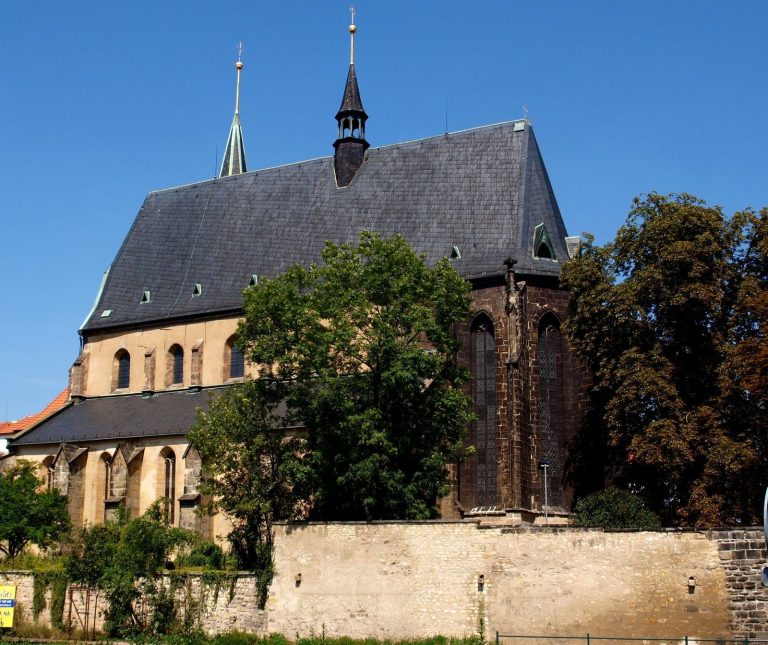
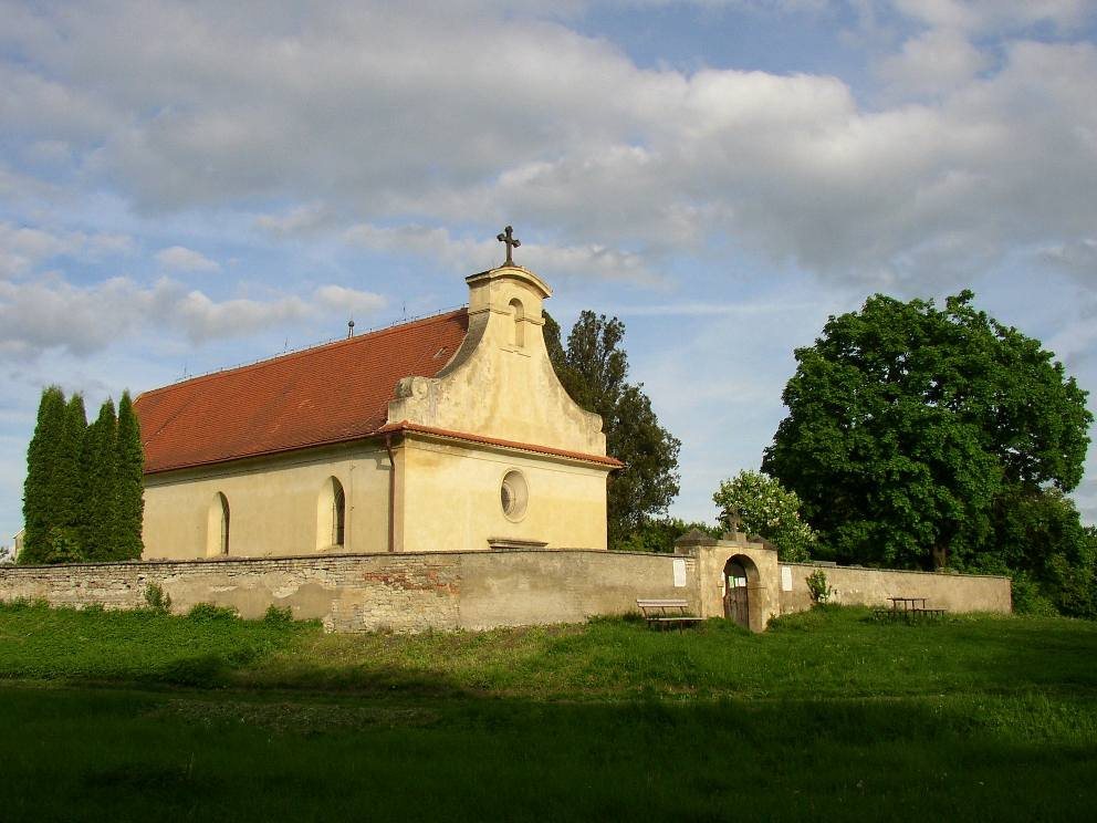
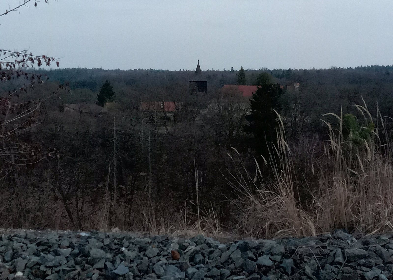
The Church of St George has an early Gothic core, a medieval architectural style, but its present form reflects a Neo-Renaissance rebuilding in 1833, a revival of Renaissance design. Beside it stands a Baroque wooden bell tower on an octagonal masonry base.