El Pilar: An Ancient Maya City Center on the Belize–Guatemala Border
Site at a Glance
- Popularity
- High
- Country
- Belize
- Primary era
- Medieval
- Eras represented
- Iron Age, Classical, Medieval
- Civilizations
- Maya
- Site type
- Settlement
- Remains
- City
On this page7 sections
History
Growth of the Maya city
El Pilar is an ancient Maya city center on the border between Belize and Guatemala. It began developing around 800 BC, during the Middle Preclassic period, when Maya communities were establishing villages and ceremonial centers. El Pilar became the largest Maya site in the Belize River region. It reached its greatest extent before AD 1000, and its population at its Late Classic peak, an era of flourishing Maya cities, is estimated to have exceeded 180,000.
The surrounding settlement landscape included extensive farmland about 10 km north of the Belize River. Regional patterns suggest that farmland was closely connected to the size and makeup of communities.
Archaeological study and protection
Archaeologist Anabel Ford first mapped El Pilar in 1983 through the Belize River Archaeological Settlement Survey. Ford led fieldwork that began in 1993. Excavations into a major temple revealed a building history spanning about 2,000 years, and her team later used LiDAR, a laser-based method for mapping ground beneath vegetation, to survey the area.
In 1996, the World Monuments Fund placed El Pilar on its list of the world’s 100 most endangered sites. The 2,000-hectare El Pilar Archaeological Reserve for Maya Flora and Fauna was declared an archaeological reserve in Belize and a cultural monument in Guatemala in 1998. It is classified as IUCN Category VI, a protected-area designation for sustainable use of natural resources. Despite protection and the presence of rangers, looting remains a threat.
Remains
Layout and civic center
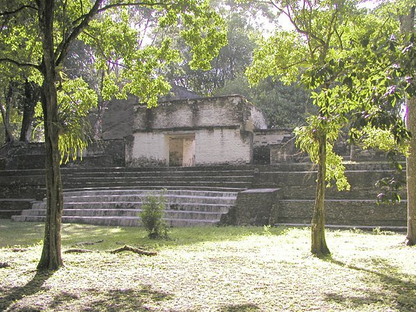
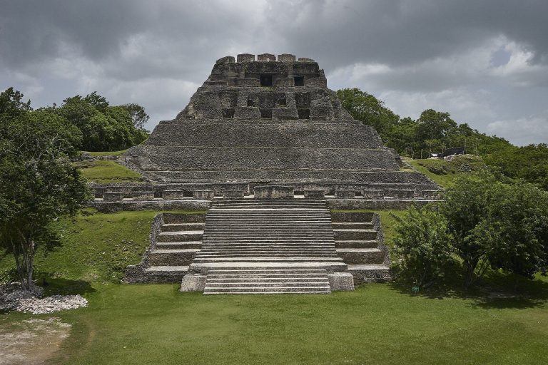
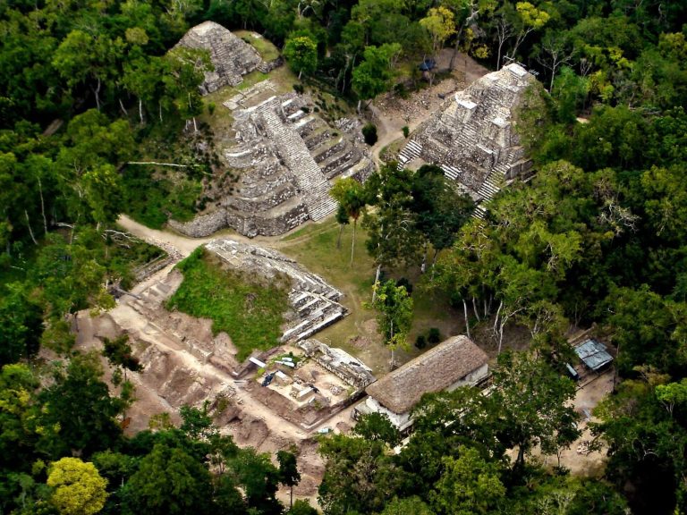
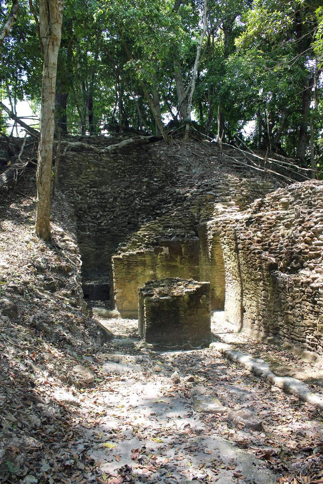
The archaeological center covers about 49 hectares and includes more than 25 plazas and hundreds of other major buildings. Its three zones are Xaman Pilar in the north, Nohol Pilar in the south on the Belizean side, and Pilar Poniente in the west on the Guatemalan side. The monumental civic area contains plazas, temples, and palaces. Plaza Copal, in the main eastern temple area, is where the first small temples and plazas were identified.
Causeways and landscape
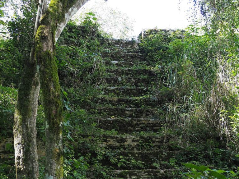
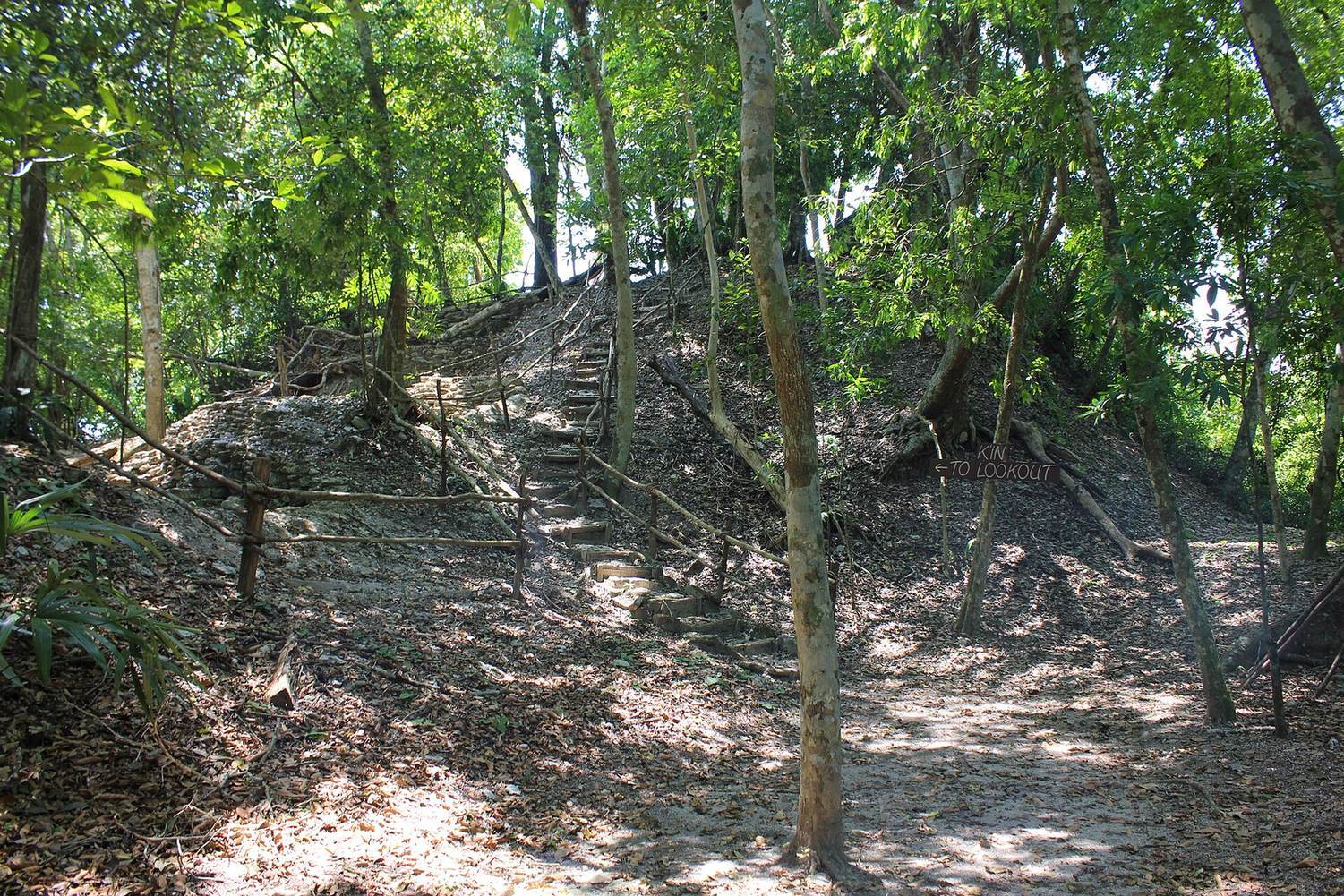
Raised routes connect the site from east to west, linking its parts across the present-day international border. The landscape includes an upland slope extending toward Tikal, about 47 km away, as well as abundant streams around the site and below the slope. The monuments became covered by forest vegetation after about a millennium of obscurity. The forest canopy and gardens help preserve Maya cultural heritage.
Residential area and forest gardens
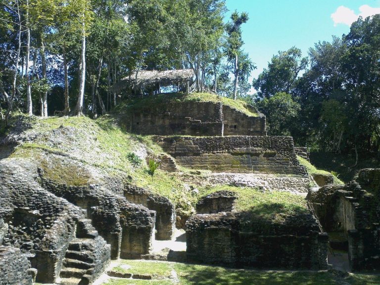
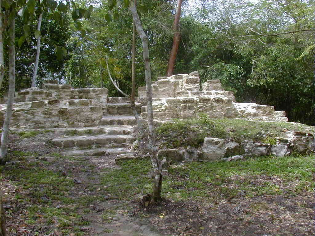
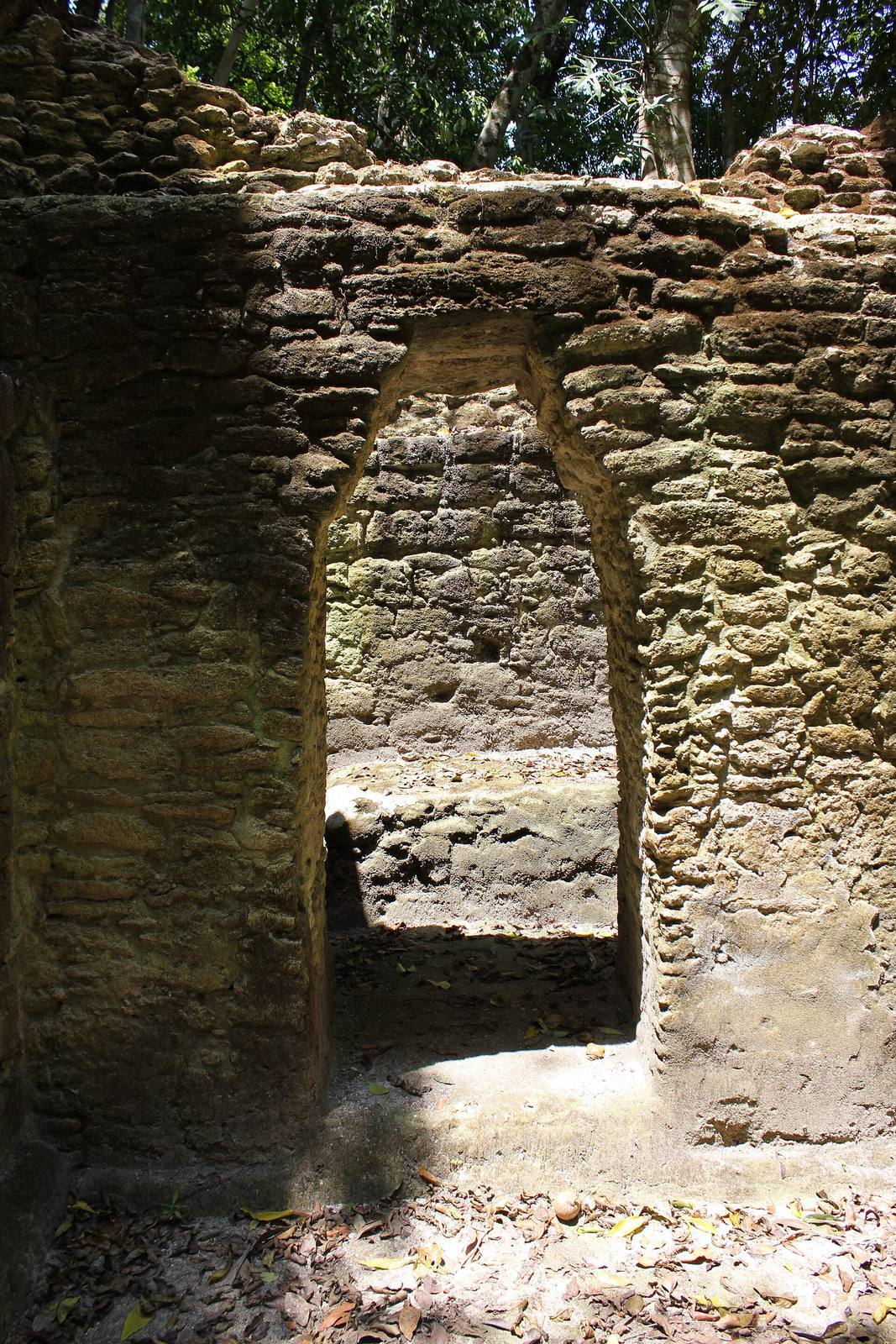
Residential buildings around the civic monuments formed part of the ancient Maya community. Tzunu’un, meaning “hummingbird” in Maya, is an elite residential house investigated from 1984. Excavation exposed and consolidated the house. A forest garden was developed around it in collaboration with Maya forest gardeners, and Maya farmers maintain El Pilar’s forest gardens through the El Pilar Forest Garden Network.