Tell Leilan: An Ancient Mesopotamian City and Capital in Syria
Site at a Glance
- Popularity
- High
- Country
- Syria
- Primary era
- Bronze Age
- Eras represented
- Bronze Age
- Civilizations
- Assyrian
- Site type
- Settlement
- Remains
- City
On this page14 sections
History
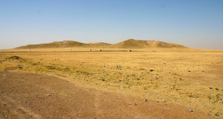
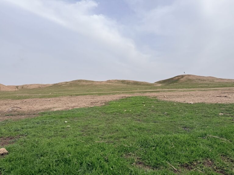
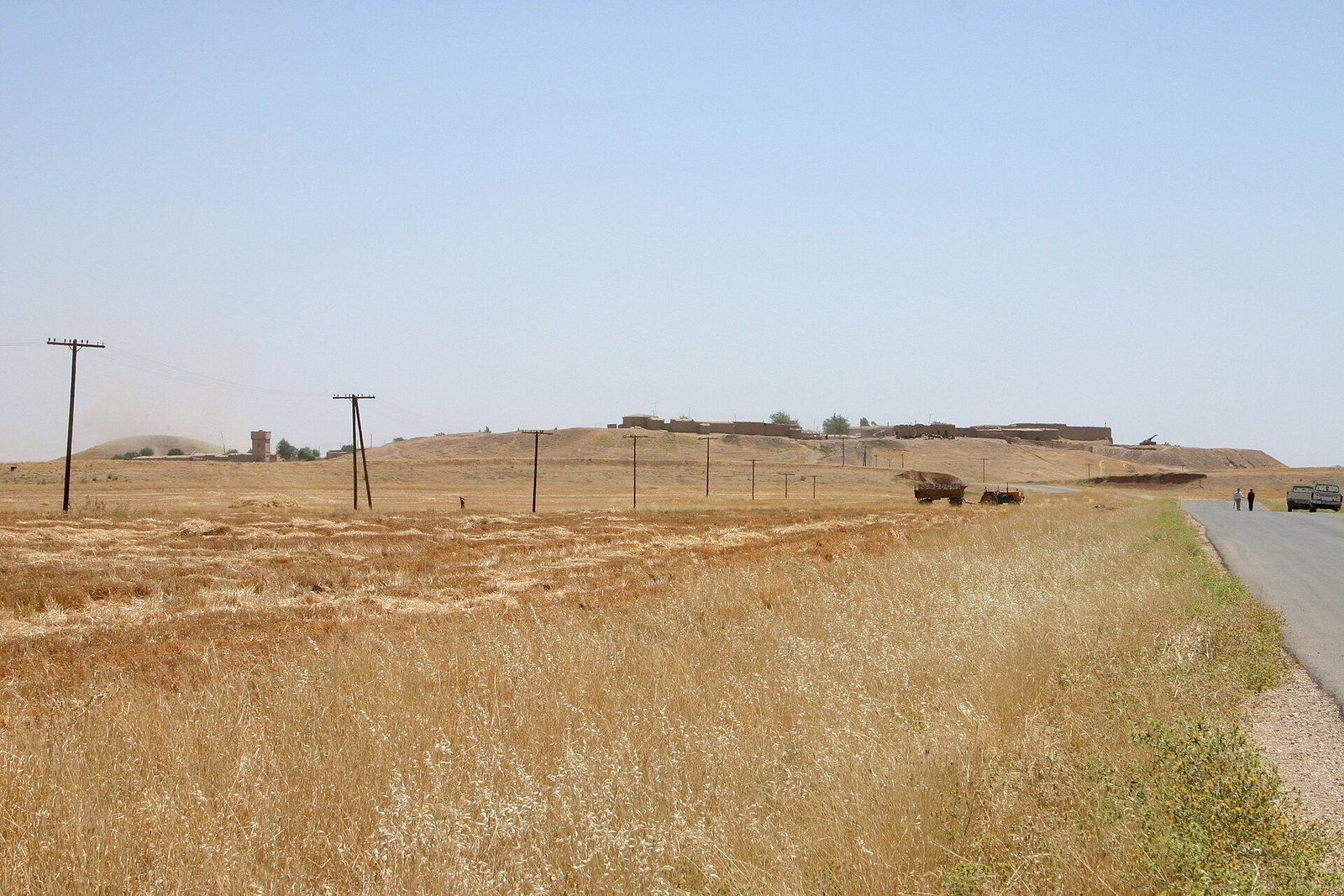
Tell Leilan is a settlement mound formed by successive layers of occupation in northeastern Syria, near Wadi Jarrah in the Khabur River basin. It was first settled around 5000 BC, and by the early second millennium BC had become a regional capital.
Early settlement and Akkadian rule
The first community was a small village whose people farmed and raised herds. By about 2600 BC, Tell Leilan had grown into a large, powerful city known in the later third millennium BC as Shekhna. As the Akkadian Empire, an early Mesopotamian empire, expanded around 2300–2200 BC, the city came under its control. Local rulers lost authority, and Shekhna became an administrative center. The site is also classified as having an Assyrian cultural affiliation.
Drought and resettlement
A severe drought began around 2200 BC and lasted roughly three centuries, disrupting farming and settlement. Depopulation at Tell Leilan coincided with the arrival of Hurrian communities in the region. The Hurrians were an ancient people whose communities extended across northern Mesopotamia and nearby lands. The last occupied building at the site dates to about 2140 BC, after which Tell Leilan remained uninhabited until around 1900 BC.
From about 1900 BC, the wider Apum region, associated with a northern Mesopotamian kingdom, was gradually resettled. Tell Leilan became a station on a trade route toward Kültepe, an important trading center in Anatolia, but did not regain its former prominence.
Shubat-Enlil under Shamshi-Adad I
Around 1800 BC, Shamshi-Adad I, an Amorite ruler of northern Mesopotamia, conquered the region and restored the abandoned settlement, attracted by its agricultural potential. The Amorites were an ancient people of Syria and Mesopotamia. Shamshi-Adad renamed the city Shubat-Enlil, an Akkadian name meaning ‘residence of the god Enlil.’ Enlil was a major Mesopotamian god associated with authority and the ordering of the cosmos. Shamshi-Adad made the city his residence and the capital of his Upper Mesopotamian kingdom.
A contested capital
After Shamshi-Adad’s death, Tell Leilan became the capital of Apum. It probably remained under his son Ishme-Dagan for a time, although Ishme-Dagan resided at Ekallatum, another regional center. Samija, probably an official of Ishme-Dagan and the city’s governor, faced repeated attacks as neighboring states competed for control. Between about 1772 and 1762 BC, as many as six rulers held the city.
Turum-Natki, probably a former official of Ishme-Dagan, appears to have won independence around 1772 BC with support from Andarig, a neighboring kingdom. About a year later, Qarni-Lim of Andarig placed Turum-Natki’s son Haja-Abum on the throne. Qarni-Lim later appointed Zuzu Shar-maat, who ruled for only a few months before dying in a fall from the city wall. Haya-Sumu of Ilansura in Karana, Zimri-Lim of Mari, Ishme-Dagan, and probably Qarni-Lim also sought control.
Elam, an ancient civilization east of Mesopotamia, conquered Tell Leilan under the command of General Kunnam and held it for about five years. A garrison from the kingdom of Ešnunna was also established in the city. The Elamites lost control after a violent struggle around 1765 BC. Atamrum then ruled until about 1761 BC, followed by his son Himdiya.
The last rulers and abandonment
The city appears to have been relatively stable from about 1761 to 1750 BC. Records refer to three rulers apparently connected with a line originating with Dari-Epuh, though when that line first gained power is uncertain. Around 1750 BC, Mutija succeeded his brother Dari-Epuh. Mutija’s nephews administered frontier territories, and Till-Abnu, one of them, took the throne at an uncertain date. Till-Abnu renewed a treaty with merchants from Aššur, an ancient Assyrian city. His brother Akun-Ashar succeeded him around 1728 BC.
Tell Leilan’s rulers called themselves ‘kings of Apum.’ Their territory was then largely confined to the Khabur plain, but campaigns to the east and south extended it as far as Hamoukar. The city prospered until Samsu-iluna of Babylon sacked it in 1726 BC. Akun-Ashar died in the fighting, and the city was abandoned. Some people later built ovens, a tiled platform, and walls over the ruins, but settlement ended within a few years, by the close of the eighteenth century BC. By about 1595 BC, the region had passed to Mitanni, a kingdom of northern Mesopotamia and Syria.
A Yale University archaeological team led by Harvey Weiss began excavating Tell Leilan in 1979. The project continued until 2008.
Remains
City plan and buildings
The ruins lie in the Khabur River basin near Wadi Jarrah. Tell Brak is about 50 km to the southwest, Tell Mozan (Urkesh) about 50 km to the west, and Hamoukar about 50 km to the southeast. The Middle Bronze Age city, from the early second millennium BC, covered about 90 hectares (0.9 square kilometres); at its peak, its population may have reached 20,000. Its remains show an enclosed, planned city with a central religious precinct and designated residential areas.
Wall and street
A large wall surrounded the city by about 2600 BC. The later planned city was also enclosed by a wall, and a straight paved street connected its gate with the temple acropolis, an elevated city precinct.
Palace and temple precinct
The planned city included a royal palace, the temple acropolis, and an organized residential area. Qarni-Lim maintained a large palace at Tell Leilan. Ash and burned earth there indicate a fire around 1765 BC; the damaged palace was later rebuilt.
Merchants’ quarter
Merchants from Aššur lived in a separate quarter. They remained in the city during the Elamite occupation.
Layers and excavated finds
Settlement layers
A sediment layer about three feet thick is associated with the drought and decline in settlement around 2200 BC. Artifacts from Ninevite 5, an archaeological culture of third-millennium BC northern Mesopotamia, have also been recovered at Tell Leilan.
Clay tablets
Excavations uncovered an archive of about 1,100 clay tablets dating to the eighteenth century BC and kept by the city’s rulers. The tablets use cuneiform, a writing system made with wedge-shaped marks, and record dealings with other Mesopotamian states as well as matters of city administration. Finds from Tell Leilan are displayed at the Deir ez-Zor Museum.