Katlenburg: A Medieval Castle, Monastery, and Agricultural Estate
Site at a Glance
- Popularity
- Medium
- Country
- Germany
- Primary era
- Medieval
- Eras represented
- Medieval, Early Modern, Modern
- Civilizations
- Holy Roman Empire, Kingdom of Hanover
- Site type
- Religious
- Remains
- Monastery
On this page19 sections
History
Katlenburg is a former castle, monastery, and agricultural estate on the Katelberg in Germany, founded in the 11th century by the counts of Katlenburg, high-ranking medieval territorial lords. Their family figured in imperial politics. Katlenburg first appears in a record from 1075, in the annals of Lampert of Hersfeld, an 11th-century monk and chronicler. The brothers Henry and Udo are known from 1002; later members of the family included Dietrich I, Dietrich II, and Dietrich III.
The counts and the monastery
In 1105, the childless Count Dietrich III and his wife, Adela of Beichlingen, transformed the castle into a monastery dedicated to John the Evangelist, a Christian figure traditionally associated with the Fourth Gospel. They had a church built for the monastery and removed the castle’s enclosing wall. Their reasons are uncertain. Piety and their lack of children may have played a part, as may a move of the family’s seat to Stauffenburg near Gittelde, another stronghold where Dietrich minted coins. He died during the siege of Cologne in 1106, bringing the Katlenburg family line to an end. He was buried in a chamber beneath the church, known as a crypt.
The monastery first housed Augustinian canons, men in a religious community following the Rule of St. Augustine. Augustinian canonesses, women following the same rule, joined them later. The complex served as a monastery for much of its subsequent history before also becoming the center of an agricultural estate.
Monastic estate and secularization
A fire destroyed the monastery in 1346, probably through arson. The Catlenburg Song, composed that year, commemorated the event and is regarded as the oldest Low German song from Lower Saxony. Plague in the region in 1348 further damaged the monastery’s finances, and raiders from Thuringia attacked the complex in 1392.
Between 1525 and 1534, the monastery assembled a register of its lands, rights, and income amid fears that the Peasants’ War, which began in 1525, might lead to the loss of property. The register covered holdings linked to 270 people in 70 places, including about 45 nearby villages and places near Brunswick. The monastery also had fishing rights on the Rhume, Oder, Söse, and Bever, as well as hunting and milling rights. Its church patronage rights allowed it to influence appointments to local church offices.
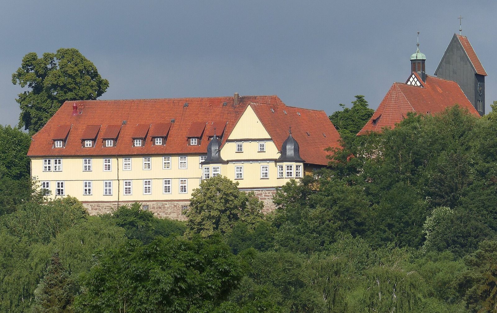
In 1534, during the Reformation, the 16th-century movement that transformed Western Christianity, the monastery was secularized and passed out of monastic control. In 1560, Philip II of Grubenhagen and his wife, Clara of Wolfenbüttel, took up residence and turned part of the complex into a Renaissance palace. They remained until 1595, using Katlenburg as a secondary residence of the principality of Grubenhagen. Afterwards, an official lived in the palace and administered justice and the estate’s farming operations.
War, palace, and state estate
During the Thirty Years’ War, a conflict that brought repeated military campaigns through German lands, the Protestant-held castle endured a long siege by the imperial commander Tilly in 1625. The garrison surrendered. In April 1626, Christian of Wolfenbüttel retook the castle and ordered the palace and church plundered and burned. French and Saxon troops occupied the complex in 1761 during the Seven Years’ War and desecrated the palace church.
In 1819, the agricultural estate was separated from Katlenburg’s administrative seat and became a royal domain, meaning a state-owned agricultural estate. It was initially leased and remained state property until 1950. Around 1820, its first tenant built a riding stable and riding hall. The administrative seat moved to Lindau in 1859.
Schools and later uses
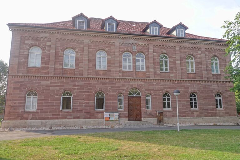
A settlers’ agricultural school operated in the main building from 1953 to 1963 under Erwin Wittek. Founded in 1952 and financed by the federal government, it trained displaced people and ethnic German resettlers to manage farms. The school closed in 1963 after East Germany sealed its border with West Germany. Other uses included a church-related section from 1955, a recreational and educational center established in 1964 by the Lower Saxony Schreber Youth organization, a school on the castle hill from 1974, and a sports hall from 1975. The youth center closed in 2007 after its organization became insolvent, although the rooms were intended to remain in educational use. A hotel that began operating in 2008 has since closed.
Since the early 1990s, Katlenburg has also been known as a “book castle.” Its rooms have held about half a million old books, mainly surplus stocks from the former German Democratic Republic. The books are distributed in return for donations to Bread for the World. Martin Weskott, formerly a pastor of the St. John’s congregation in Katlenburg, began the initiative.
Remains
Setting and defenses
Hilltop and approaches
The complex stands at the end of a mountain spur in the western Harz foothills. Steep slopes, around 50 metres high, protect two sides, while the Rhume and Katlenbach run alongside two sides of the hill. In the lowland, the Rhume’s two branches, the Söse, and the Katlenbach formed four watercourses; the once-marshy ground made access difficult. Below the castle, the medieval Nordhäuser military road crossed the Rhume on a route toward Leipzig, carrying traffic between the Rhineland and Thuringia.
Castle plan and defenses
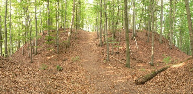
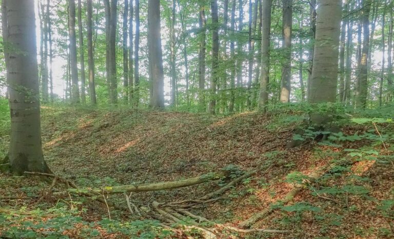
The original castle had a triangular main stronghold at the steep end of the spur and an outer bailey, the castle’s secondary outer enclosure, in the area later occupied by the agricultural estate. A defensive cross-ditch cut across the exposed southern approach from the plateau; it has since been filled in. A foundation platform measuring 10 by 10 metres is thought to mark the keep, the castle’s strong inner tower. A 1654 engraving by Merian depicts ruined buildings and wall fragments. Buildings that still stand are thought to have been erected in later centuries on earlier foundations.
Church and medieval buildings
St. John’s Church
St. John’s Church, formerly the palace church, occupies the center of the complex. The church and its crypt are identified as the oldest structural parts and are assigned to a 13th-century building phase.
Medieval gate
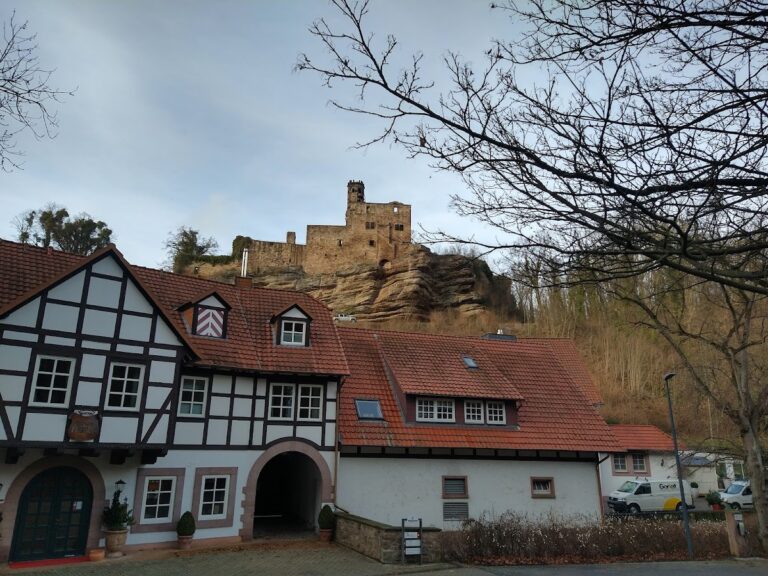
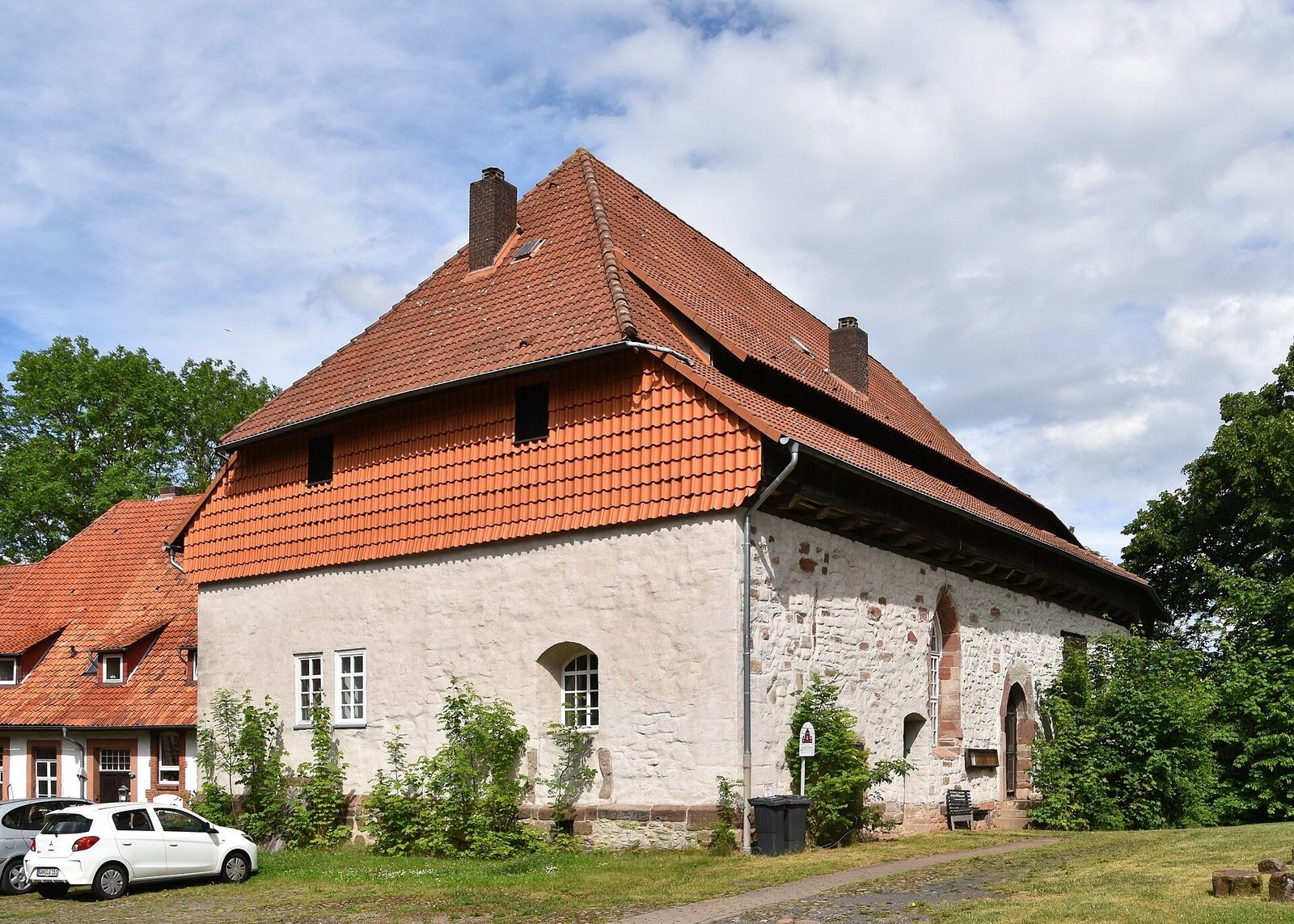
Southeast of the church, the medieval gate building has Gothic features. Above a doorway beside the passage, curtain arches, curved arches used in Gothic architecture, rise over a door beam. The eastern half of the building has a timber frame with infill.
Storehouse
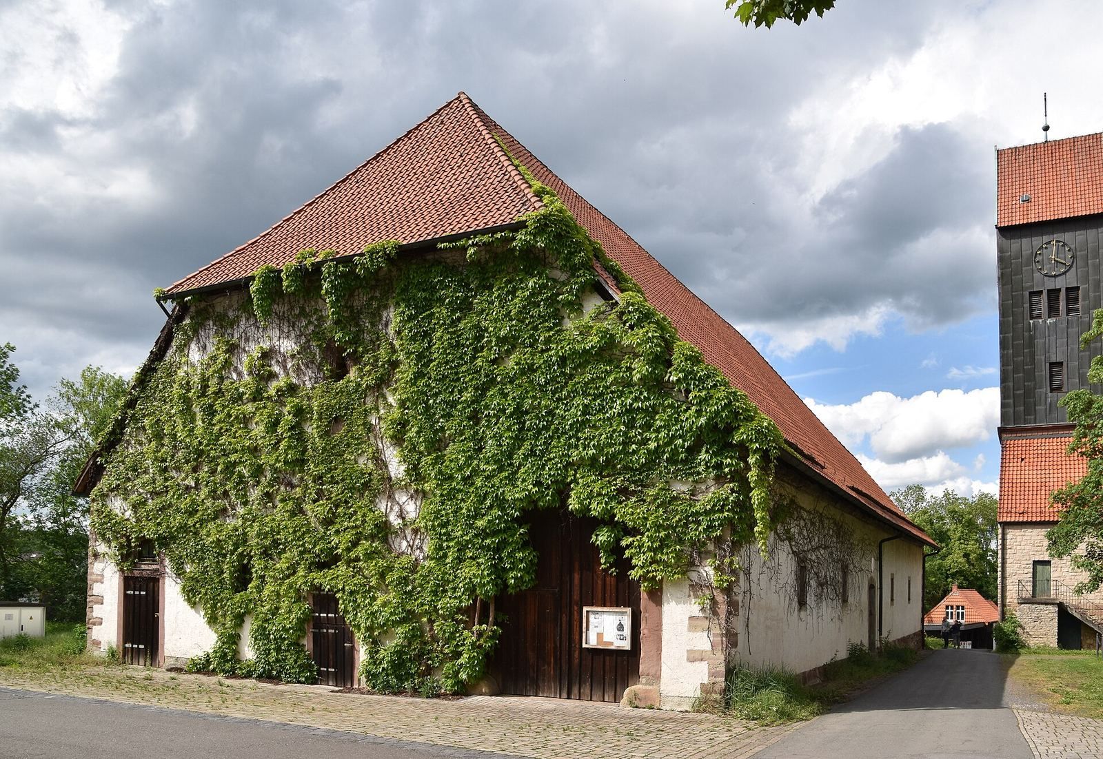
North of the church, the building now used as a storehouse has tunnel-shaped barrel vaults and cross vaults without projecting ribs in its basement. On the ground floor, a small chapel occupies the former western part, beside a substantial masonry section to the east. Both the chapel and the adjoining section have Gothic vaults, and the building appears to have had one or more upper storeys. On its south side, a solid semicircular section may belong to a former round or stair tower. Its straight exterior wall suggests that the tower was cut back, and an outside doorway opens into the space. East of a bend in the same wall are tall early Gothic windows and entrances at different levels.
Philip’s Little Palace
Opposite the storehouse to the south, the building known as Philip’s Little Palace retains blocked Gothic openings. These openings indicate former divisions between floors and the start of an eastern residential wing that once connected the two buildings.
Estate buildings and surviving walls
Agricultural court and riding stable
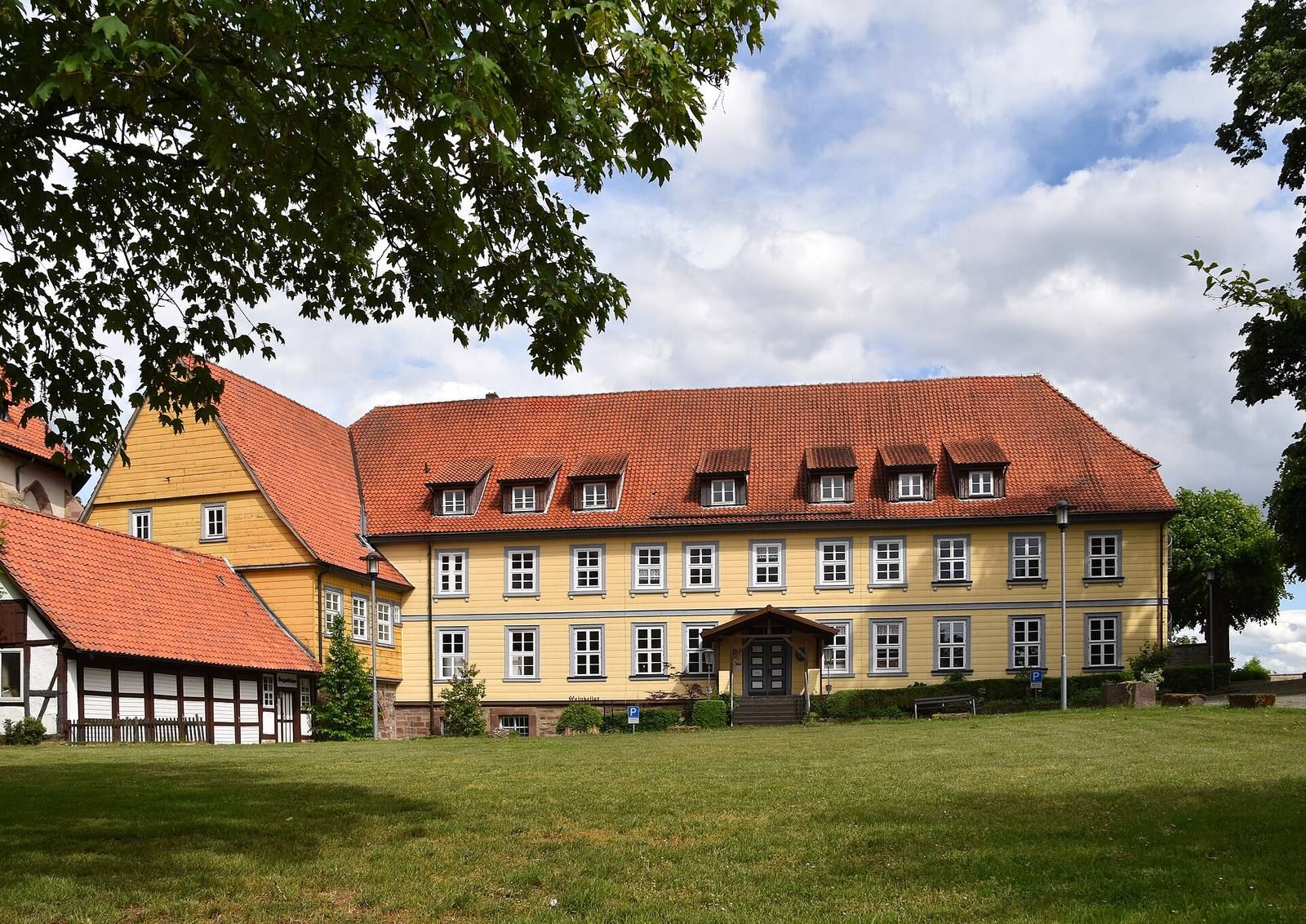
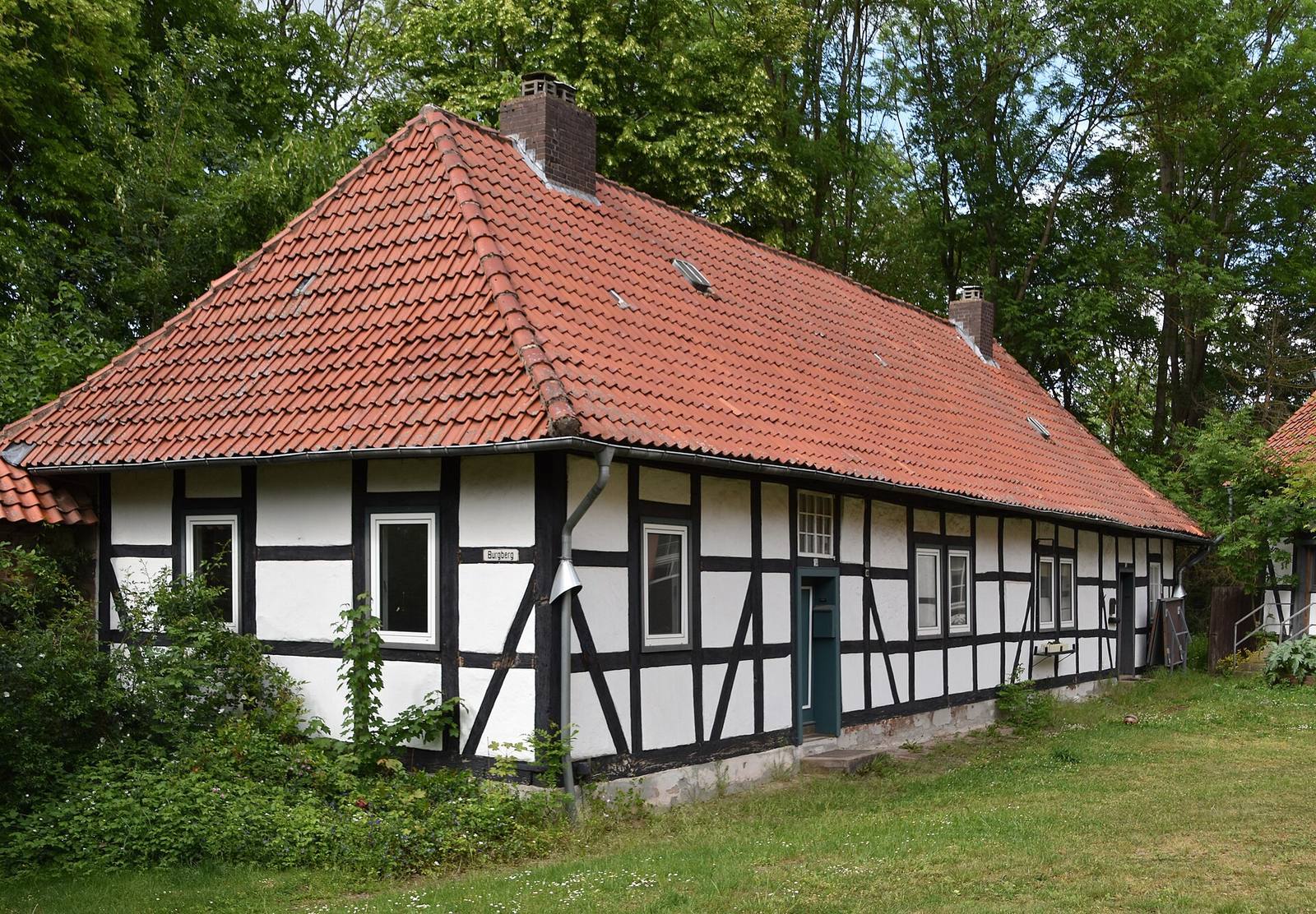
South of the church, the agricultural court’s masonry and timber-framed buildings date from after the Thirty Years’ War. The riding stable at the court’s center dates to the 17th century and has a self-supporting ceiling structure that was advanced for its time. Younger buildings north of the storehouse date from the 18th century.
Eastern enclosing wall
The basement of the lower castle’s eastern enclosing wall survives beneath a substantial building that once had timber-framed upper floors. Some cellar vaults, coated in gypsum plaster, are partly filled with rubble. Slope debris deeply buries the lower wall, and refuse covers its narrow arrow slits, openings through which defenders could shoot. In the 1654 engraving, the wall’s light openings appear at least 5 to 6 metres above ground. Parts of the enclosing wall also survive on the northern, western, and southern sides.
Former district jail
Immediately north of the northwest gate, the former district jail is now used as a residence.
Oxen stable
Remains of the oxen stable stand beside the present southern entrance. The building became a ruin after a severe storm in the 1980s, following a period of neglected repairs.