Walls of Santiago de Compostela: The City’s Medieval Defenses
Site at a Glance
- Popularity
- Medium
- Country
- Spain
- Primary era
- Medieval
- Eras represented
- Medieval
- Civilizations
- Kingdom of León
- Site type
- Military
- Remains
- Wall
On this page14 sections
History
The first enclosure
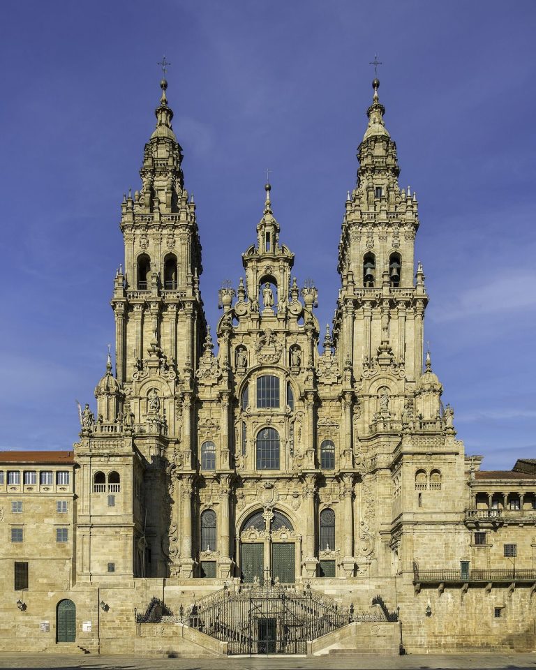
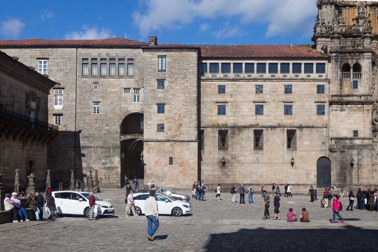
The Walls of Santiago de Compostela are the city’s successive medieval defenses in Spain, first built in 968 around the church that preceded the present cathedral. Sisenando II, a 10th-century bishop of Iria, fortified the settlement, which became known as Locus Sancti Iacobi, meaning Place of Saint James. The enclosure covered the area now occupied by the cathedral, Quintana Square, the Monastery of Saint Pelagius of Antealtares, and nearby streets. A second defensive line of ditches and palisades protected the early settlement.
In 997, an expedition led by Almanzor, a leading political and military figure of the Umayyad Caliphate of Córdoba, almost completely destroyed the first wall.
Expansion in the 11th century
By the middle of the 11th century, Santiago had become a flourishing pilgrimage center, while fears of Norman or Muslim incursions continued. Bishop Cresconius built a much larger wall over the earlier ditches and palisades. The expanded defenses protected suburbs that had grown beyond the original settlement.
Changing use and dismantling
From the Middle Ages into the 19th century, foro agreements, a form of tenure that granted property-use rights in return for payment, allowed private individuals to occupy the inner patrol path or parts of the wall. Over time, adjoining buildings incorporated the fortifications, and some extended across the patrol path, towers, and walls.
From the 15th century, the walls gradually lost their defensive role as the danger of attack declined and artillery made them less effective. In 1596, amid fears of an English attack, Antonio Ozores de Sotomayor reviewed their condition. Repairs followed in the 17th and 18th centuries, but some stretches were used as rubbish dumps despite municipal prohibitions. Most of the fortifications were demolished toward the end of the 19th century.
Archaeological discoveries and the former route
Later archaeological work identified surviving parts of the defenses. A tower and ditch were found at 18 Rúa da Senra in 1994, and a section of the first wall was uncovered in 2009 during work at the former Bank of Spain building for the Museum of Pilgrimages. That year, the municipal Historic City and Rehabilitation Office established a route tracing the old wall.
Remains
The circuit and its construction
The larger wall followed a kidney-shaped plan, with its longest axis running north to south. Its circuit measured about 2 km and enclosed approximately 30 hectares. Built from irregular rubble of schist, a metamorphic rock with a layered structure, the wall stood about 5 m high and was around 2.5 m thick. Four-sided towers reinforced the circuit at regular intervals; a plan from 1595 depicts 48. Battlements topped the wall, and a ditch ran along its outer side.
Gates and approaches
The original gates
The original circuit had seven gates, described in the Codex Calixtinus, a medieval compilation associated with the pilgrimage to Santiago. The gateways used finer-cut stone masonry and mortar. The Francigena Gate, also known as the Way Gate, was the principal entrance, where routes of the Camino de Santiago, a network of pilgrimage roads, arrived from Castile and France. Shops and inns for pilgrims grew up nearby. The Faxeira Gate served pilgrims coming by the Portuguese Way and brought fish from the ports of Padrón, Noya, Pontevedra, and Finisterre. Its name may come from beech trees in the area. The Mazarelos Gate connected with Mazarelos Square and admitted wine from Ulla and Ribeiro and grain from Castile.
Later entrances
Further entrances were added over the centuries. The New Town Gate, also associated with Rúa da Pena, opened in the 13th century. Smaller pedestrian gates at Algalias, San Fiz, and Souto followed in the 14th and 15th centuries.
The wall’s trace in the city
The old street plan still follows the line of the fortifications. The boundary constrained the city’s growth and building heights; structures taller than three storeys were considered a threat to the defenses. Routes through the three principal gates formed an almost grid-like pattern toward Cervantes and Obradoiro squares, which were also connected to each other. Monasteries, workshops regarded as nuisances, and brothels stood outside the wall near the gates. Ground markers along the route established in 2009 indicate the former circuit around the old city.
Surviving structures and wall sections
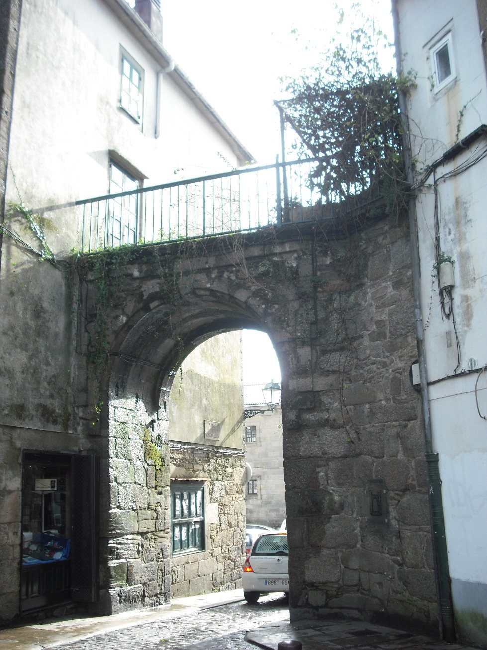
Mazarelos Gate
Mazarelos is the sole surviving gate. Its opening has a semicircular arch set above short vertical sections at either end. A building attached on the south side retains the bases of the defensive tower that flanked the entrance.
Wall fragments and embedded remains
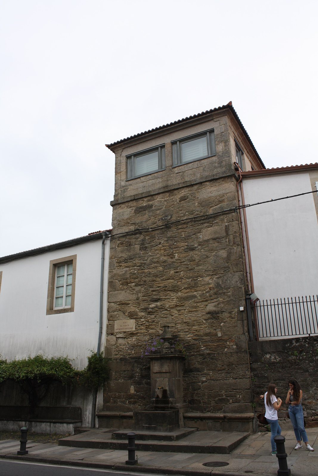
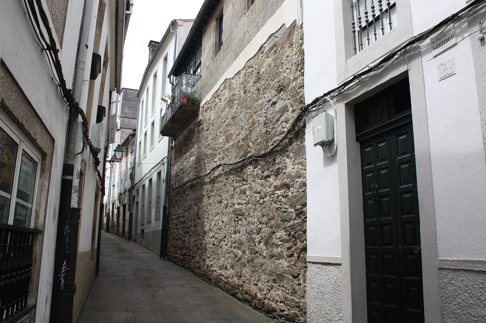
Some stretches survive concealed within later buildings, preserving the fortifications as embedded, or fossilized, wall fabric. At 18 Rúa da Senra, remains of a tower and ditch can be seen through glass. At Rúa de Entremuros, a section incorporated into a house measures 10 m long and 5 m high, with the outline of its battlements visible. Fragments of the first wall have been found in the Azabachería area, and a section in fairly good condition lies beneath the former Bank of Spain building.