Christianpris: A Danish Sea Fortress on Kiel Fjord
Site at a Glance
- Popularity
- Medium
- Country
- Germany
- Primary era
- Early Modern
- Eras represented
- Early Modern, Modern
- Civilizations
- Danish, Holy Roman Empire, Kingdom of Prussia
- Site type
- Military
- Remains
- Fort
On this page8 sections
History
Christianpris is a sea fortress on the western shore of Kiel Fjord near Kiel, Germany, begun by Denmark under King Christian IV in 1632 during the Thirty Years’ War, a European conflict fought from 1618 to 1648. Built at the fjord’s narrowest point, it was intended to protect Kiel and the southern part of Christian IV’s realm. It is Germany’s only sea fortress.
Foundation, capture, and rebuilding
Christian IV assigned Danish officer Axel Urop to direct construction and acquired the Bülk, Knoop, and Seekamp estates from landowner Cai von Ahlefeldt to supply the project. The fort was first called Christianspries. Swedish troops captured it in December 1643 during the Torstenson War, a conflict between Sweden and Denmark-Norway. They held it until the Treaty of Brömsebro ended the war in 1645. In 1648, Christian IV’s son and successor, Frederick III, ordered the fort demolished.
From 1663, Frederick III commissioned military engineer Henrik Ruse to rebuild the fortification as protection against Swedish ships. The rebuilt fort was called Friedrichsort, also rendered Friedrichspries; Christianpris and Frederiksort were other forms used for it. A space for a chapel was established during this period.
Occupation and nineteenth-century defense
Swedish forces occupied the fort in 1813 during the Napoleonic Wars, a series of conflicts involving Napoleonic France and European powers. They left after the Treaty of Kiel, concluded on 14 January 1814. In 1848, during the Schleswig-Holstein Uprising, a conflict over the region’s relationship with Denmark that lasted until 1851, Kiel’s civic militia took the Danish fort and held it until the uprising ended.
Werner Siemens, a Prussian Army officer sent to support the militia, commanded at the fort. To defend Kiel’s harbor, he and his brother-in-law, chemistry professor Himly, developed the first functional remotely detonated naval mines, explosive devices in the water triggered by an external signal. Laid across the fjord in front of the fort and connected by firing cables, the mines kept Danish warships from entering the fjord and bombarding Kiel at close range.
After the 1864 German-Danish War, the Duchy of Schleswig became a Prussian province in 1867. The fort was remodeled, and its defenses were redirected toward Kiel Fjord. Under the Treaty of Versailles, the peace settlement imposed on Germany after the First World War, the fort had to be demolished. Earth from its northern ramparts was tipped into the moat, ammunition stores were destroyed, and exposed casemates continued in use as separate buildings.
Twentieth-century military use and later changes
The German Navy began using the fort in 1935. Bombing during the Second World War destroyed many buildings. After the war, surviving casemates housed refugees, and Casemate 1 also served as a homeless shelter from 1958 to 1974.
From 1957, the Bundeswehr, Germany’s armed forces, used the remaining buildings for a naval signal station and a battery for ceremonial salutes. It removed the northeastern bastion in the late 1950s to create an access road, and the western moat was filled in 1965 for the neighboring MaK industrial site. The remaining fortifications received monument protection in 1966, and the Bundeswehr left in 2004. Privately owned since 2006, the site is used mainly by businesses. Work to secure its fabric began in 2017, and a brewery started operating that August in the vaulted southern part of Casemate 2.
Remains
Setting and overall plan
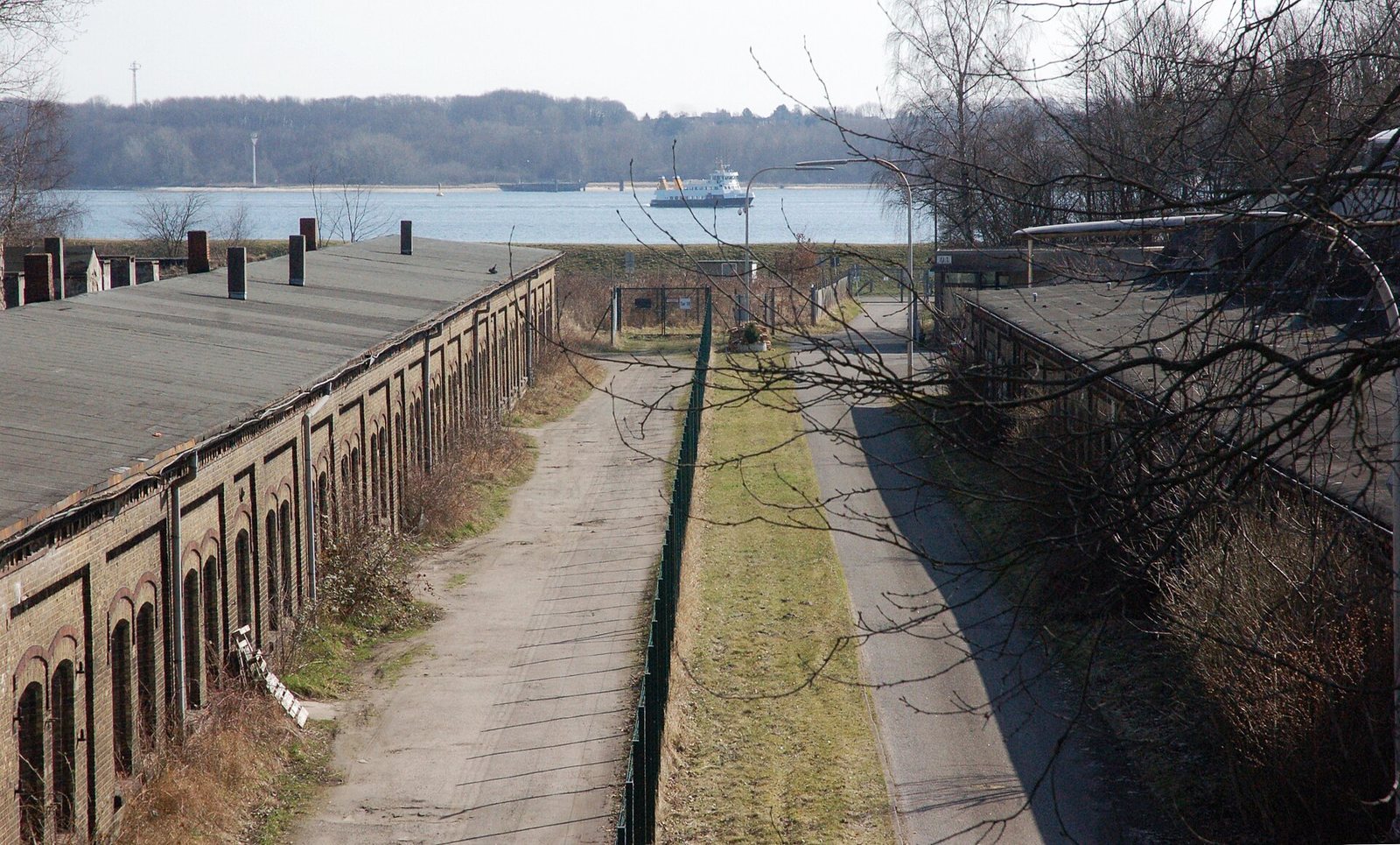
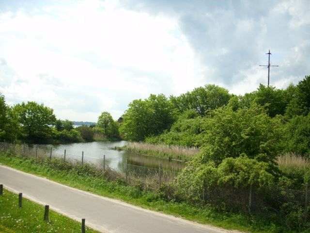
The fortress occupies a peninsula on the western shore of Kiel Fjord, near the fjord’s outlet to the Baltic Sea and the entrance to the Kiel Canal. The headland, identified with the Jernved peninsula, has water on two sides. On the south and east, the fort borders the fjord, in places with a low beach between them; low ground lies to the north and west, and a protective dike now surrounds the fort. Its plan is an irregular pentagon about 300 metres across, with five bastions, or projecting sections of the defenses. A water moat enclosed the fort.
Moats and outer defenses
By 1790, the defensive system extended beyond the main fort to northern and western landward defenses, two moats, and detached forward works, some joined to the fort by curtain walls, the walls between defensive projections. Further fieldworks lay beyond the moats. Today, the surviving perimeter includes the southern and eastern moats and ramparts on the southern, western, and eastern sides. The outlying forts Falckenstein and Horwarth were positioned to help protect Christianpris.
Casemates and military buildings
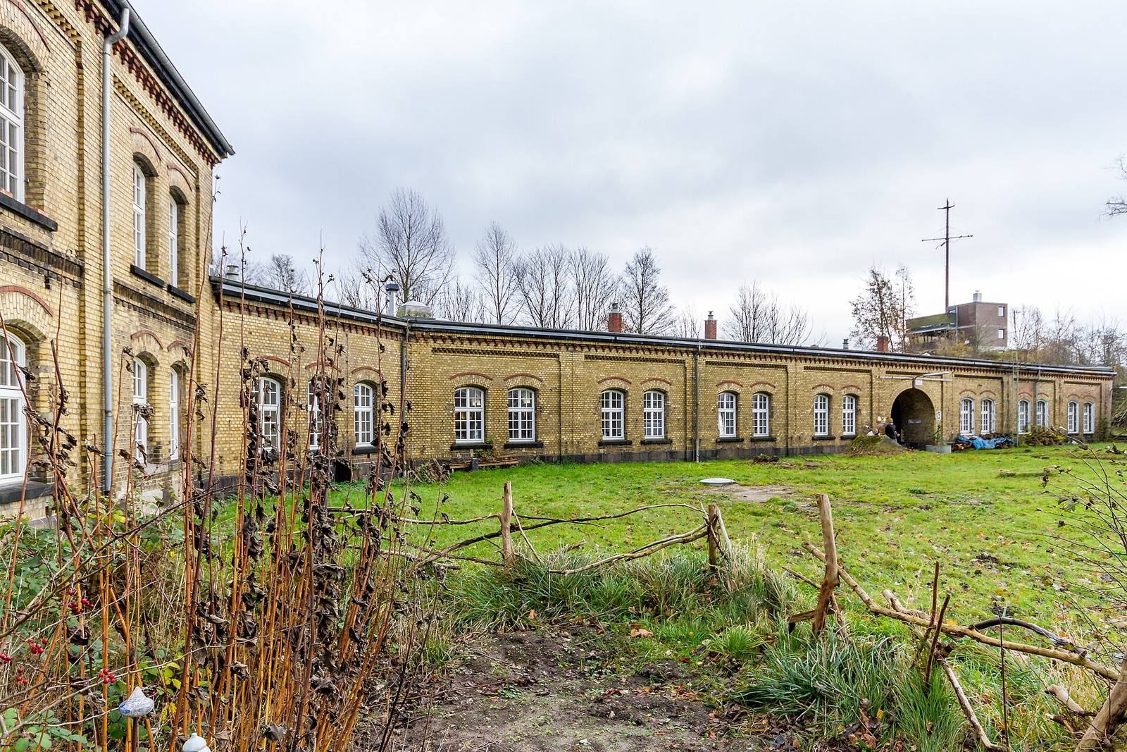
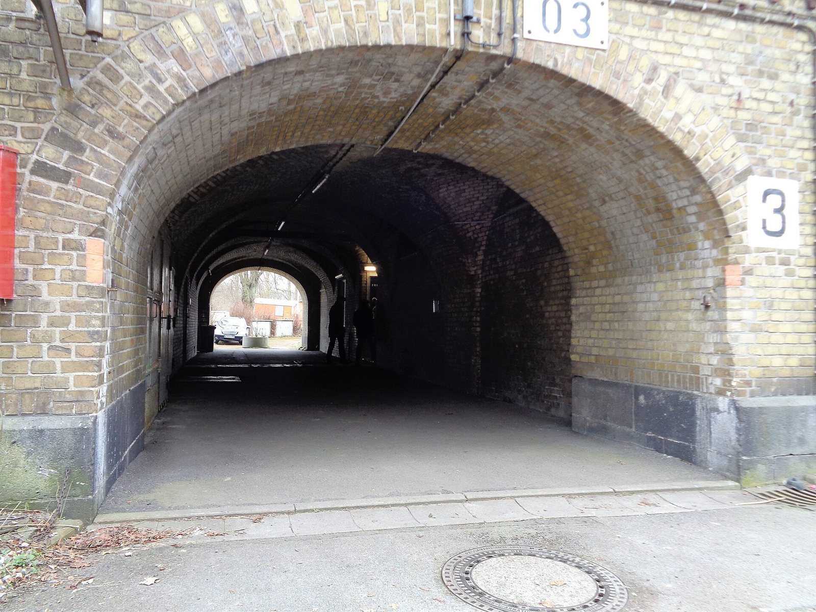
During the remodeling after 1867, earth-protected casemates, vaulted protected chambers built into a fortification, replaced the interior buildings. Some of these structures survive, including Casemate 2, which is vaulted. Military buildings also stood outside the fort on its northern and western sides. The site is now heavily overgrown.