City Walls of Ieper: A Changing System of Fortifications
Site at a Glance
- Popularity
- Medium
- Country
- Belgium
- Primary era
- Early Modern
- Eras represented
- Medieval, Early Modern, Modern
- Civilizations
- Belgian, British, County of Flanders, Dutch, French, Habsburg, Habsburg Spain, Spanish
- Site type
- Military
- Remains
- Wall
On this page22 sections
History
The city walls of Ieper are successive fortifications around Ieper, Belgium, whose earliest defenses date to at least the early Middle Ages. They expanded as the city grew and were repeatedly altered to meet changing military needs, from early earthworks to artillery defenses and later systems designed by Vauban.
Early growth and the siege of 1383
By about 1100, Ieper had reached approximately its present extent. Its defenses expanded alongside the city, and the gates were strengthened and rebuilt in stone. During the city’s height in the thirteenth and fourteenth centuries, a second line, the Uyterste Veste, enclosed four outer parishes.
Before the siege of 1383, forces from Ghent and England, led by Henry le Despenser, bishop of Norwich, threatened the city. Ieper’s defenders abandoned the outer defenses and burned the parishes, denying the besiegers shelter and building materials. The siege failed, but the parishes were not rebuilt as the cloth industry declined.
Artillery defenses and Vauban’s works
Under Burgundian rule, Ieper gained its first stone enclosure. The defenses were adapted for artillery in the early sixteenth century, and Spanish forces added Italian-style bastions in the late sixteenth. Fortification work continued through the seventeenth century, including a military quarter beside the canal. French attacks in 1648 and 1668 were followed by the construction of a citadel east of the city in 1669.
After Ieper came under French control in 1678, Louis XIV commissioned the military engineer Vauban to design new defenses. Work began in 1680 under the supervision of Chazerat and took about ten years. Vauban retained older works where possible, especially in the south, where controlled flooding protected the earlier walls.
Austrian and French rule
Ieper became Austrian in 1715 and served as one of the Barrier towns, a defensive system intended to check French expansion. A Dutch garrison was stationed there, but Austrian upkeep of the fortifications was neglected. The city was briefly under French control again from 1744 to 1749.
In 1782, Emperor Joseph II ordered the fortifications dismantled and the military lands sold. Only the main enclosure remained standing. After 1789, Ieper was hastily returned to a defensive state. French revolutionary forces took the city, the Austrians retook it, and French forces led by Pichegru captured it in June 1794.
From 1795 to 1814, Ieper belonged to the French Empire and had no military function; its defenses continued to deteriorate. English forces restored the city’s defensive readiness in 1814–15.
The Wellington Barrier and demilitarization
After 1815, Ieper’s fortifications were rebuilt as part of the Wellington Barrier, a program of defenses directed against France. The work retained Vauban’s layout while addressing some of its shortcomings, and it was nearly complete by Belgian independence in 1830. During the Belgian Revolution, the Dutch garrison left Ieper on 1 October 1830, shortly before independence was declared on 4 October. A fortress convention signed on 14 December 1831 provided for the fortifications’ demolition, which began in 1853.
Belgium’s change in defensive strategy from 1852, including the creation of a national redoubt at Antwerp, made frontier fortresses unnecessary. Ieper’s demilitarization began that year. The outer defenses disappeared, and about one-third of the main enclosure was removed. The remaining ramparts became a public walking park, while land from the outer defenses was used for urban expansion. A battalion of the Third Line Regiment remained in Ieper, which also housed an international cavalry school attended by officers from Europe and South America.
World War I and restoration
During the First World War, the Ypres Salient brought intense fighting to the city, which was almost entirely destroyed. British forces used spaces within the fortifications for sleeping quarters, a headquarters, aid posts and the editorial office of The Wipers Times.
The ramparts were repaired and restored after the war. A major restoration began in 1980, followed by further repairs to individual sections and improvements to access.
Remains
The surviving defenses bring together earthen ramparts, brick walls, artillery works and water defenses shaped by successive periods of construction. Their remains reflect the expansion of the fortified area and the later conversion of parts of the system into a public park.
Early enclosures and expansion
First defensive boundaries
Before 1100, defenses protected both the southern trading settlement, or portus, near the present-day Church of Saint Peter and the comital domain near the Church of Saint Martin. These early works used ditches and earthen banks topped with palisades, or fences of upright stakes. Wooden towers or fighting platforms stood at some points.
Uyterste Veste
The outer Uyterste Veste extended for more than seven kilometres and enclosed four parishes beyond the city. It formed a second defensive line around Ieper during the city’s medieval expansion.
Stone walls and artillery changes
Burgundian enclosure and later adaptations
The first stone enclosure under Burgundian rule was a brick wall with numerous tall towers. In the early sixteenth century, the towers were lowered and earth was added to the stone walls to support artillery. Italian-style bastions, projecting positions for guns, were introduced in the late sixteenth century.
Canal quarter and citadel
The seventeenth-century military quarter beside the canal contained storage buildings and barracks. A citadel was built east of the city in 1669 by Bourgeois, an engineer from Lille serving in the Spanish military.
Vauban and Wellington defenses
Main enclosure and gun positions
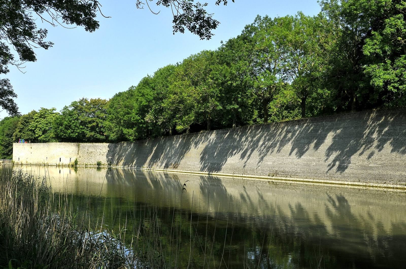
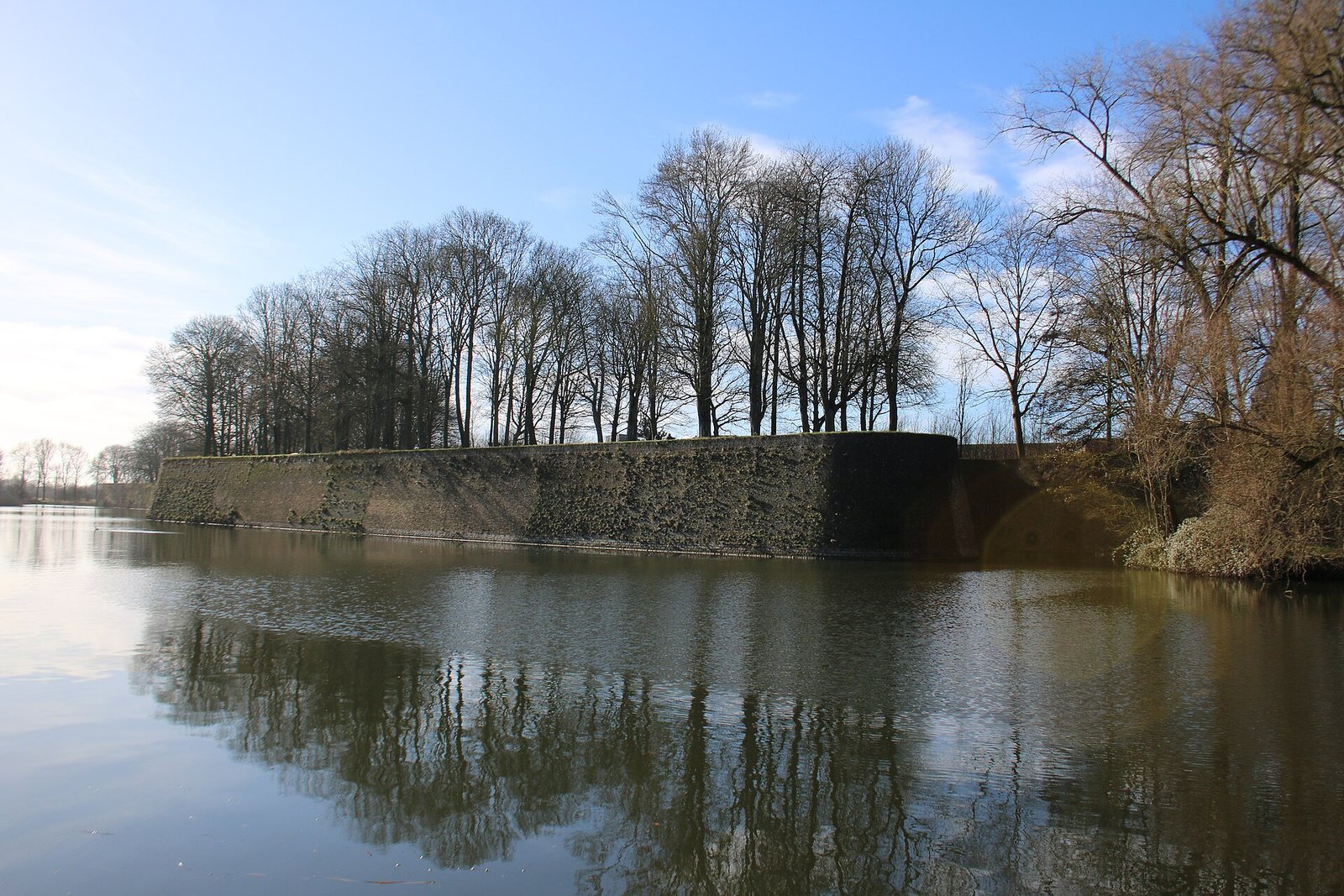
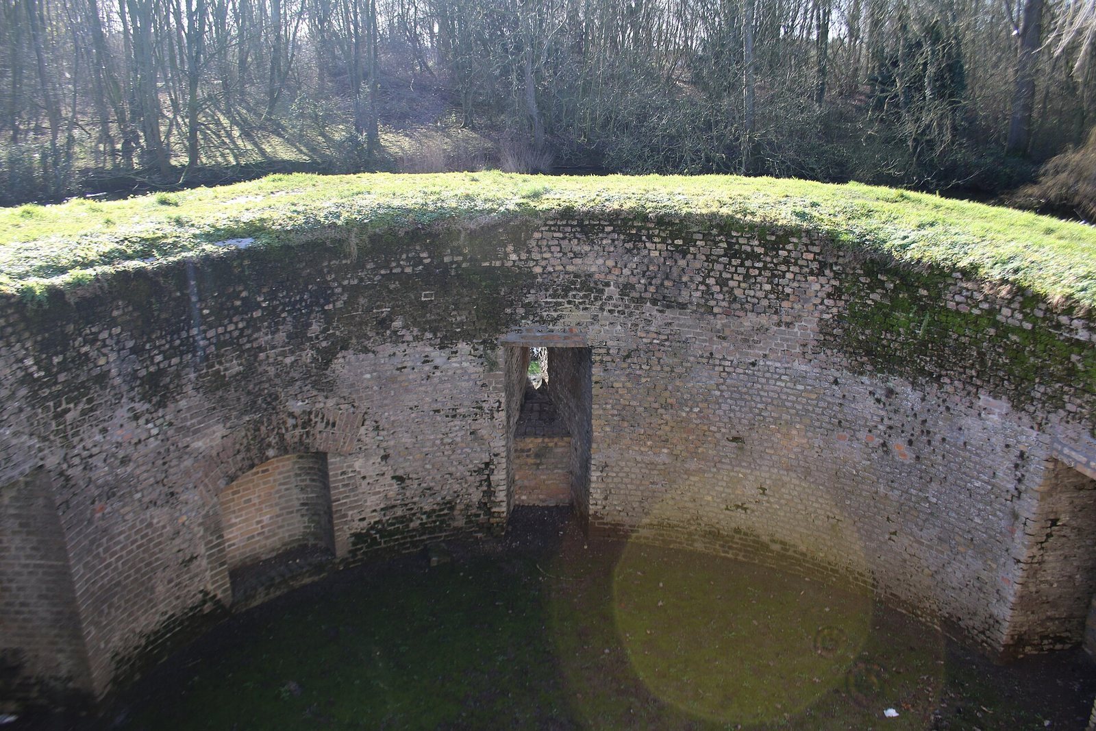
Vauban’s main enclosure was built of red brick and stood about 10 metres high. Its bastions were especially broad on the eastern side, where they provided space for concentrated gunfire. Raised artillery positions, known as cavaliers, were built at several points.
Underground military spaces
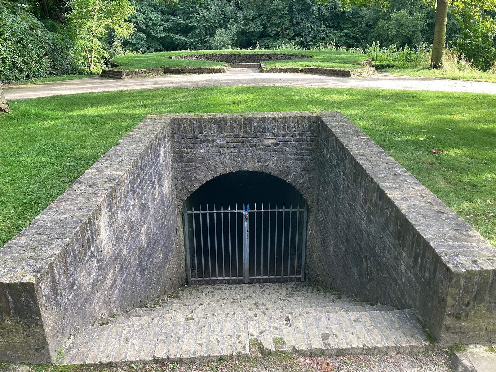
Protected vaulted spaces called casemates housed military facilities, including a bakery spread across five casemates and a storehouse in three. The underground works also included a powder magazine and a laboratory for assembling ammunition.
Outer defenses and water network
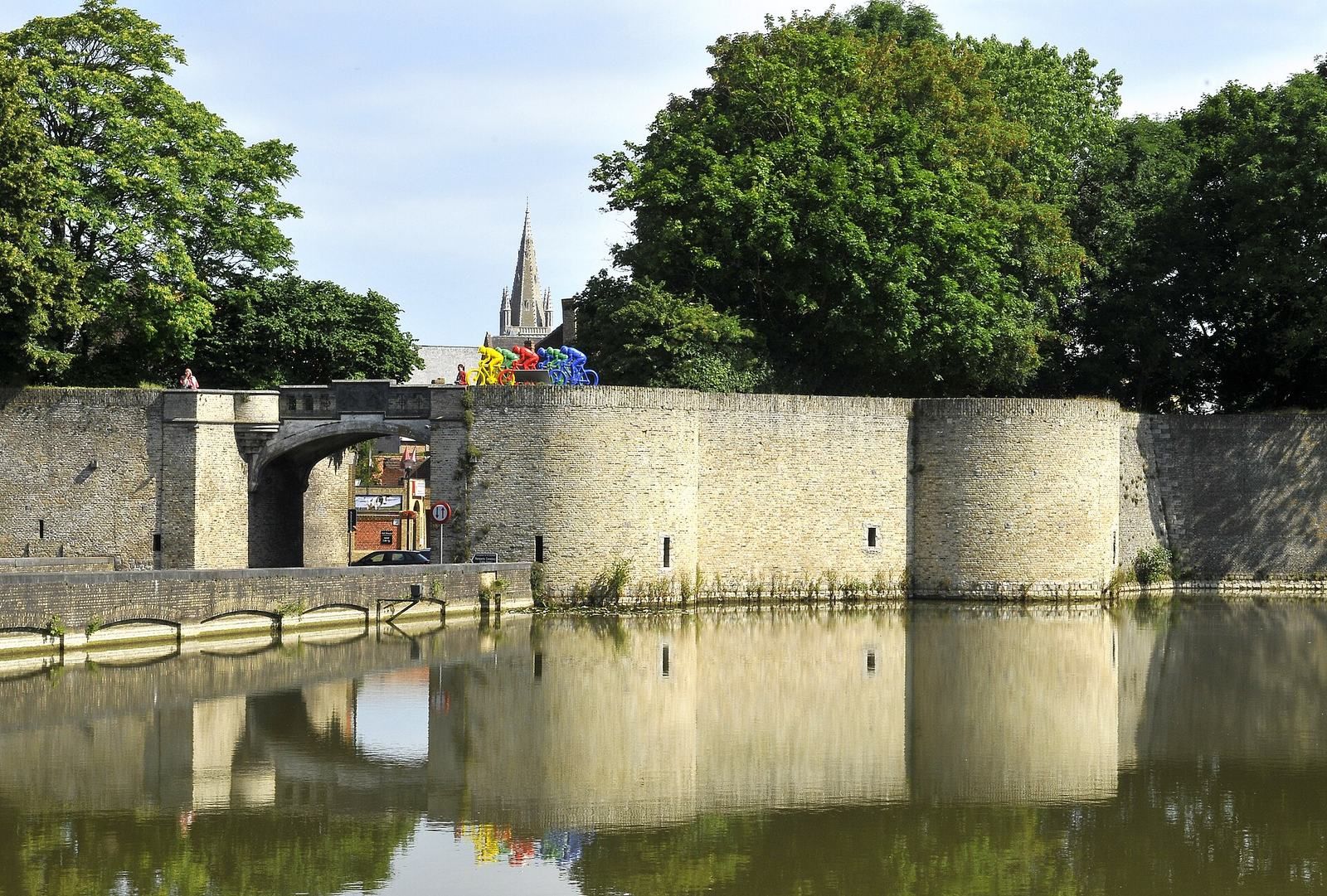
The widened moats and outer defenses included four hornworks, projecting outer defenses named Antwerp, Torhout, Elverdinge and Belle. Redoubts, or small enclosed forts, and blockhouses guarded vulnerable points. A military quarter stood by the harbor on the Ypres–Yser Canal. Additional canals from two nearby ponds, together with sluices and barriers in the moats, controlled the regional water system.
Rebuilding after 1815
The rebuilding after 1815 followed Vauban’s layout and included a large bombproof barracks and powder magazines. Some hornworks were removed, and lunettes, smaller detached defensive works, took their place in parts of the system.
Surviving landscape and wartime fabric
Ramparts and drainage works
Removal of roughly one-third of the main enclosure was accompanied by a drainage canal and ring roads along the inner and outer sides of the city. The canal is now called the Wieltjesgracht. The surviving ramparts were converted into a walking park.
Gates and cemetery
The old Lille Gate and the Menin Gate are among the fortifications’ named features. The Menin Gate is a large British war memorial. Ramparts Cemetery, a British military cemetery, lies on the ramparts near the Lille Gate.
First World War works
During the First World War, British engineers cut rooms and passages into the earthen ramparts, and trenches were dug along them. The ramparts and casemates endured heavy bombardment.