Burggrafenburg: The Medieval Administrative Seat of Nuremberg’s Burgraviate
Site at a Glance
- Popularity
- Medium
- Country
- Germany
- Primary era
- Medieval
- Eras represented
- Medieval
- Civilizations
- Holy Roman Empire
- Site type
- Military
- Remains
- Castle
On this page10 sections
History
The Burggrafenburg was a Gothic castle precinct in Nuremberg, Germany, and the oldest part of Salian Nuremberg Castle, associated with the Salian dynasty, a German royal and imperial house that ruled from 1024 to 1125. It served as the administrative seat of the burgraviate, the territory governed by a burgrave, a castle governor with authority over surrounding lands.
Raabs and Zollern rule
The castle was probably built where an earlier fortified place, mentioned after 1050, had stood. The Counts of Raabs received it as a fief, land or rights held from a superior in return for service, and held Nuremberg’s burgraviate from about 1050. When Konrad II of Raabs died around 1191, his family’s male line ended. His son-in-law, Frederick I of the Zollern family, inherited his estate and probably took up the burgrave’s office around 1192. The Zollern, later known as the Hohenzollerns, thereby gained an influential position in the medieval empire. After Konrad’s death, the southern part of the precinct passed to Nuremberg’s Egidien Monastery. The city chronicler Sigismund Meisterlin characterized the castle as a small fortification.
Move of the residence
The Burggrafenburg remained the burgraviate’s administrative seat until the mid-13th century. From about 1260, the Zollern shifted their residence to Cadolzburg, which replaced Nuremberg as their center; the residence later moved to Ansbach. A castle administrator represented the Hohenzollerns in Nuremberg.
Capture and sale to Nuremberg
During the Bavarian War, a conflict among branches of the Wittelsbach ruling family, Christoph Leininger, a Wittelsbach administrator at Lauf, led a surprise night attack that captured the Burggrafenburg in 1420. It was burned, and the Zollern did not rebuild it. The northern, burgravial section remained in ruins.
On 27 June 1427, with the approval of King Sigismund of Luxembourg, Frederick, his wife, and other members of the family sold Nuremberg Castle, its administrative jurisdiction, and associated holdings to Nuremberg’s council for 120,000 gulden, a medieval currency. The transfer included holdings in two imperial forests. The family retained rights of safe passage and hunting, as well as the court that governed forest beekeeping at Feucht. Nuremberg’s citizens later destroyed almost all of the castle. The sale ended the burgraviate’s legal existence, although Franconian Hohenzollerns continued to use the title “Burgrave of Nuremberg” into the reign of Emperor Wilhelm II, from 1888 to 1918.
Frederick’s financial difficulties helped prompt the sale. His debts stemmed from numerous acquisitions and the costly acquisition of the Margraviate of Brandenburg, particularly the campaign in the Uckermark. Nuremberg had barred lending to him in 1422. In 1424, he relinquished the city’s imperial mint, which he had acquired in 1419, in return for reimbursement of the sum needed to redeem its pledge. The sale also cost the family income from Wöhrd, a prosperous clothmaking suburb.
Remains
Layout and surviving features
The self-contained precinct occupies the eastern part of Nuremberg Castle, on a rocky outcrop north of the historic center and east of the Imperial Castle. Its northern edge adjoins the city moat. Features along its western boundary separated it from the Imperial Castle, while St Walburga’s Chapel marked its southeastern side on the city-facing edge.
Northern buildings
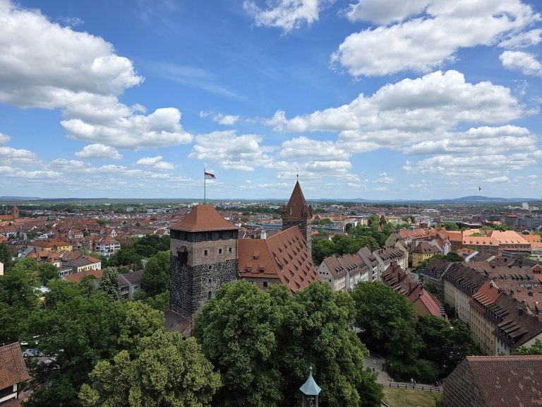
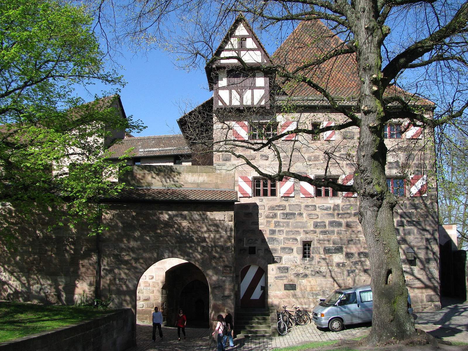
The Pentagonal Tower, the castle administrator’s house, and remains of the old Vestner Gate lie along the precinct’s north side beside the moat. The house retains a core dating to the Salian period.
Western boundary
A high defensive wall, the so-called hidden watchman’s passage, and the area known as the Freiung formed the division between the Burggrafenburg and the Imperial Castle to the west.
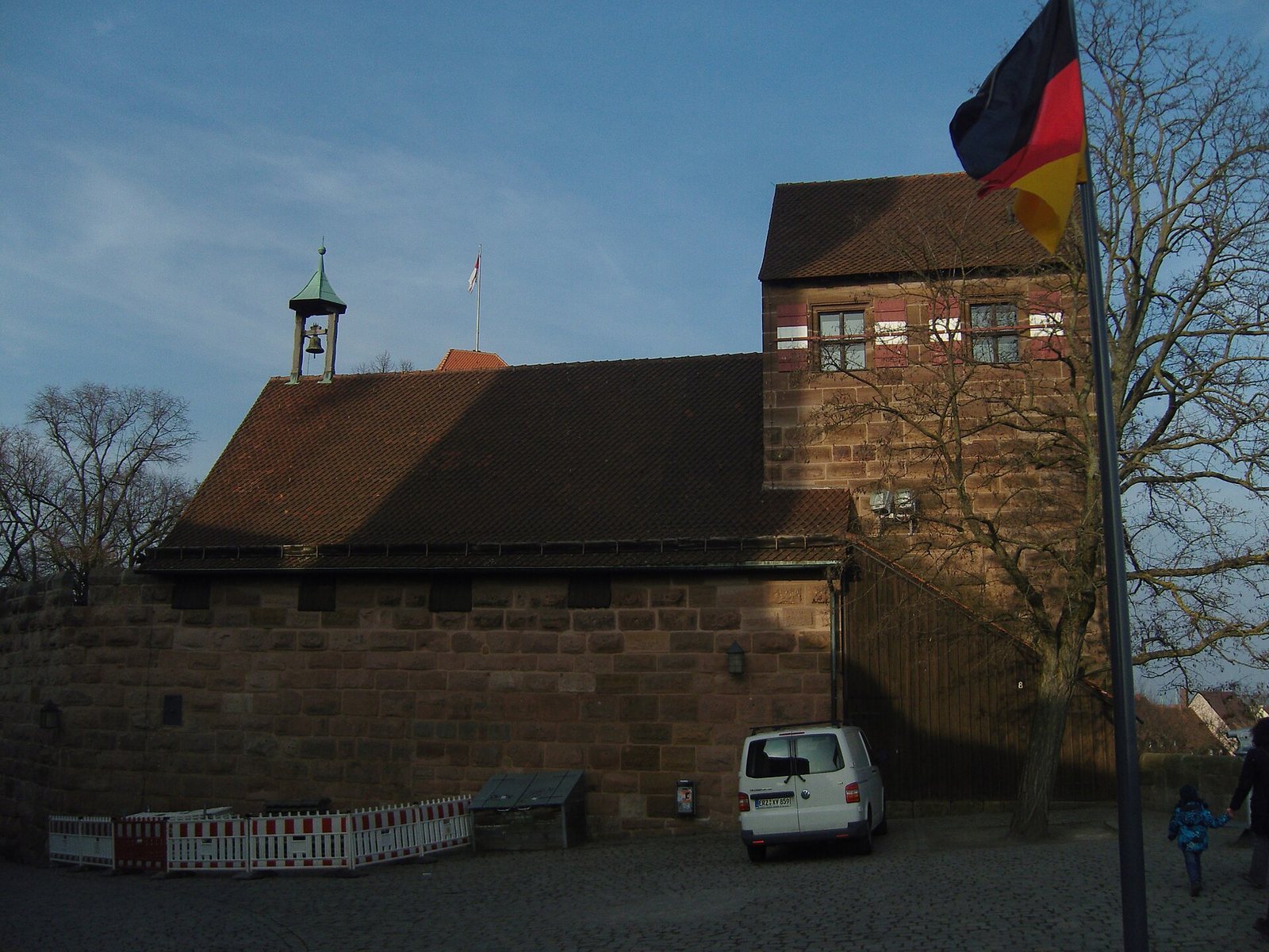
St Walburga’s Chapel
The chapel formed the southeastern side of the precinct, facing the city.
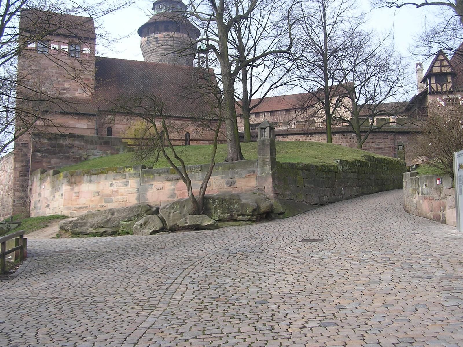
Hollow way
A hollow way runs between St Walburga’s Chapel and the Pentagonal Tower. Rubble from the central castle complex borders both sides of the route.