Wächtersbach Castle: A Staufer-Period Hunting and Defensive Residence
Site at a Glance
- Popularity
- Medium
- Country
- Germany
- Primary era
- Early Modern
- Eras represented
- Medieval, Early Modern, Modern
- Civilizations
- German, Holy Roman Empire
- Site type
- Domestic
- Remains
- Castle
On this page16 sections
History
Forest stronghold and settlement
Wächtersbach Castle is a castle in Wächtersbach, Germany, established toward the end of the twelfth century as a Staufer-period hunting and security installation for the Büdinger Forest. The Lords of Büdingen built it on commission from Emperor Frederick I Barbarossa, a ruler of the Hohenstaufen dynasty, also known as the Staufers. A settlement grew under the castle’s protection. Selbold Monastery’s 1236 charter, which records its land and income there, gives the settlement’s name as Weichirsbach, meaning “the brook that feeds the ponds.”
During the thirteenth century, the castle was converted into a moated stronghold. A document first mentions it in 1324. It helped defend the Wetterau, a historical region in central Germany, and protect the castle complexes at Gelnhausen and Büdingen. The castle also housed one of twelve foresters responsible for managing game.
Expansion and the counts’ residence
In the first half of the sixteenth century, Count Anton of Isenburg-Büdingen-Ronneburg enlarged the water castle and founded the Ysenburg-Ronneburg branch of the county. An alliance coat of arms above the entrance joined his arms with those of his wife, Elisabeth of Wied-Runkel; its hoopoe represents her family. A count’s brewery opened on the castle grounds in 1578 and later became a princely brewery. It operated for more than four centuries before closing in 2008.
The castle and town suffered heavily during the Thirty Years’ War, the seventeenth-century conflict that devastated much of central Europe. Count Johann Ernst I of Isenburg-Büdingen first made the castle habitable again for his wedding to Countess Marie Charlotte of Erbach. He then enlarged it, added buildings, and created a pleasure garden with a fountain. In 1666, he ordered a boundary ride to mark out an enclosed game park, an estate for keeping game that served hunting, courtly display, and provisioning. His household steward, Johann Georg Mohr, arranged its implementation. A garden near the castle and service yard included a cellar for fruit and vegetables, later topped by a summer terrace.
The county’s division in 1684 led to the establishment of the Ysenburg-Büdingen-Wächtersbach line and the castle’s gradual development as its residence. Building work began in 1687 under Count Ferdinand Maximilian I and continued under his successors. The stable block followed in 1718. In 1735, Count Ferdinand Maximilian II established the count’s administrative offices in the Rentkammer, an office concerned with the ruler’s estate and revenues. The Princesses’ House, built near the market in 1750, provided a home for the unmarried sisters of the reigning counts.
Political change and the landscape park
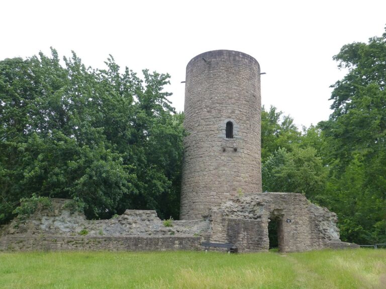
After the Holy Roman Empire ended and the Confederation of the Rhine was formed, the Isenburg lines lost their direct imperial status and came under larger states. This loss of status, called mediatisation, did not deprive the noble houses of all income. In 1812, parts of the Büdinger Forest were converted into freely held hereditary property for the countly families, supporting their use and revenues. In 1816, the castle keep was demolished and its moats were filled.
From 1816, the former pleasure garden and game park were developed as an English-style landscape park, designed around natural-looking scenery, lawns, trees, paths, and views. Count Adolf II commissioned garden architect Johannes Bodenbender to plan a further landscape design in 1840. Its paths remain traceable against the surviving plan. Countess Philippine zu Ysenburg-Philippseich, Adolf II’s wife, is regarded as the park’s principal founder because of her extensive influence on its design. The castle and park later underwent major changes when the enclosing wall was demolished and the entrance gate moved back to the pond. The park passed to the city through a land exchange and became public property. Together, castle and park form a protected historic ensemble framed by the old town.
Fire, changing uses, and restoration
The Ysenburg family, elevated to princely status in 1865, left the castle after a fire in 1939 and moved to Schloss Büdingen. Following emergency repairs, the building served various purposes during and after the Second World War. The German Development Service used it as a training centre until the 1970s. After its last tenant departed, the castle stood empty for about forty years with little preservation work. The park also fell into neglect, and its plantings and paths deteriorated. A forestry and timber research institute occupied the rear of the park in the 1950s and 1960s, adding experimental tree plantings.
A private support association founded in 2001 helped restore part of the park’s historic character, including the Rose Avenue at its entrance. The Globus group bought the estate in 2013 with plans to renovate the castle for use by the city administration. The city purchased the building in 2016, and renovation and conversion work began in 2017. Wächtersbach Castle became the town hall in February 2020. In 2022, the renovation took first place in the public-building category of the Hessian Heritage Protection Prize. The jury praised the retention of the building’s room arrangement while adapting it for modern administration.
Remains
Castle and associated buildings
Main castle
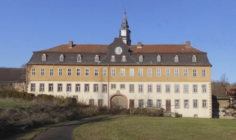
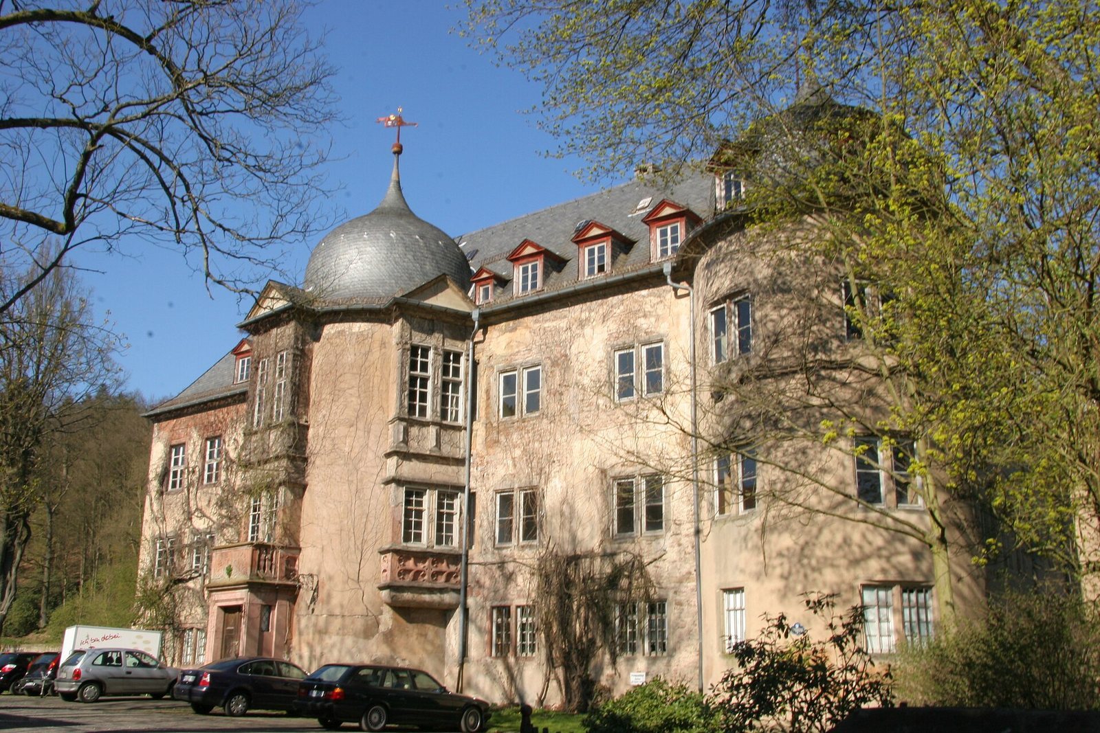
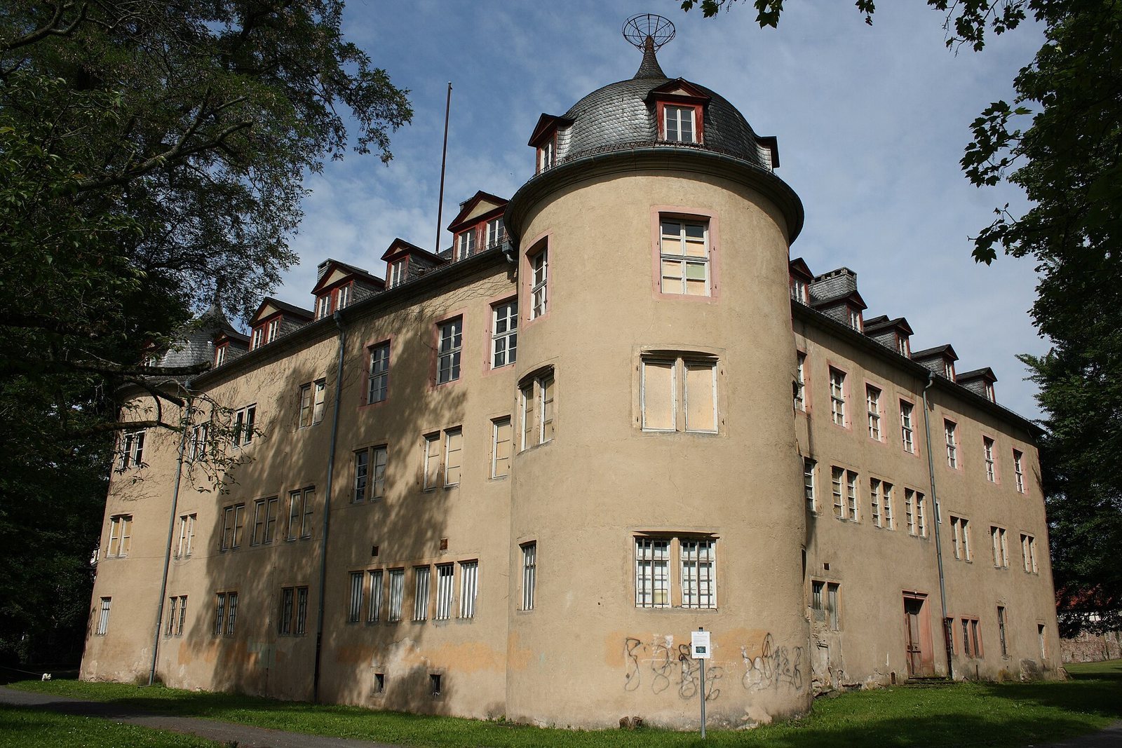
The lowland castle stands at about 170 metres above sea level. Its square, right-angled plan is arranged around four wings, each three storeys high. Round towers with curved, bulbous roofs mark the complex. The courtyard contains a stair tower dating to 1875, as well as stairways with arcades. The entrance bears the alliance arms of Count Anton and Elisabeth of Wied-Runkel, including the hoopoe associated with Elisabeth’s family.
Stable block
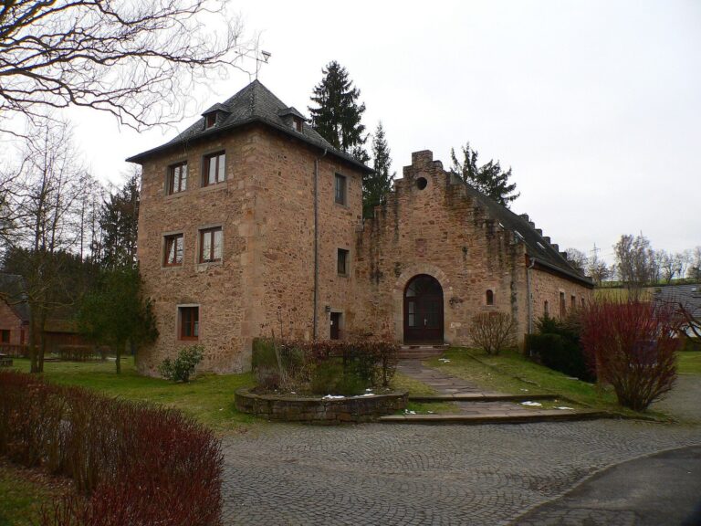
The elongated stable block dates to 1718 and forms part of the buildings associated with the countly residence.
Rentkammer
Built in 1735 for the count’s administration, the Rentkammer has a hall facing the garden and a large terrace. Its entrance carries the alliance arms of Count Ferdinand Maximilian II and his wife, Ernestine Wilhelmine of Stolberg-Gedern. Wall paintings added to the hall in 1935 for the wedding of Prince Otto Friedrich of Ysenburg and Princess Felicitas Reuß depict castles and towns associated with the Ysenburg family. The hall is used for gatherings and celebrations.
Princesses’ House
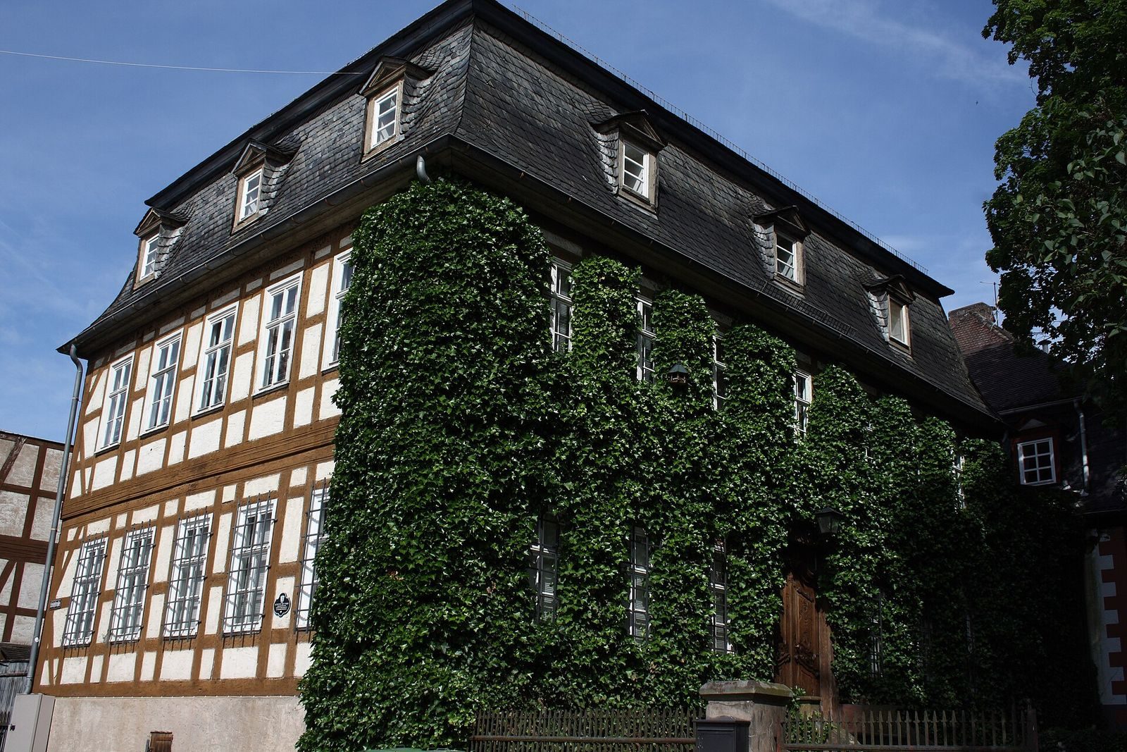
Beside the market stands the Princesses’ House, a richly decorated half-timbered building erected in 1750 for the unmarried sisters of the reigning counts.
Service yard
A large service yard occupies the rear of the castle grounds. A high wall separates it from the rest of the complex, screening it from view.
Landscape park
Paths, water, and views
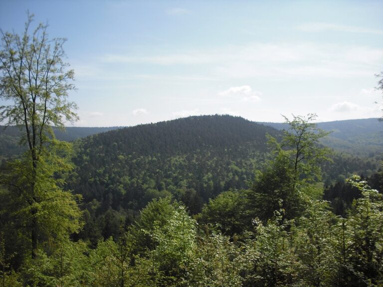
Winding paths connect open lawns and groups of trees. The principal park axis follows the castle approach through the gatehouse and its formal entrance gate, then continues east across the line of the former enclosing wall, built from local sandstone. Ponds in the park mark the surviving form of the castle’s former water features. A pond with a large island, now recognizable as a peninsula, is divided by the straight castle approach. Flower beds, azalea and rhododendron hedges, and specimen trees were arranged along views toward a beech- and oak-covered hillside.
The nearby woodland was also part of the designed landscape. Its oak trees were once deliberately planted and managed, with low hornbeam hedges crossing the ground; remnants of those hedges survive. Naturally regenerated European beeches have replaced many of the oaks. A small plateau on the slope east of and above the castle is called Philippinenhöhe after Countess Philippine. Five downhill views remain traceable despite woodland growth. A tulip tree planted there by Bodenbender was lost in a storm in 1958. Farmland once marked the upper boundary of the park and woodland. It is now planted apart from a small clearing, but can still be recognized from below along a major rhododendron sightline.
Water features and park structures
A bathing pond with a changing hut for former castle residents lies along an extension of a rear sightline that passes the forester’s house. The rock cellar, also called the ice cellar, stored ice for the brewery in warm weather and was used to hang freshly hunted game. A small hermitage stood on top; its use by a professional hermit in the nineteenth century is uncertain. After the Second World War, it provided emergency accommodation for a woman from Frankfurt.
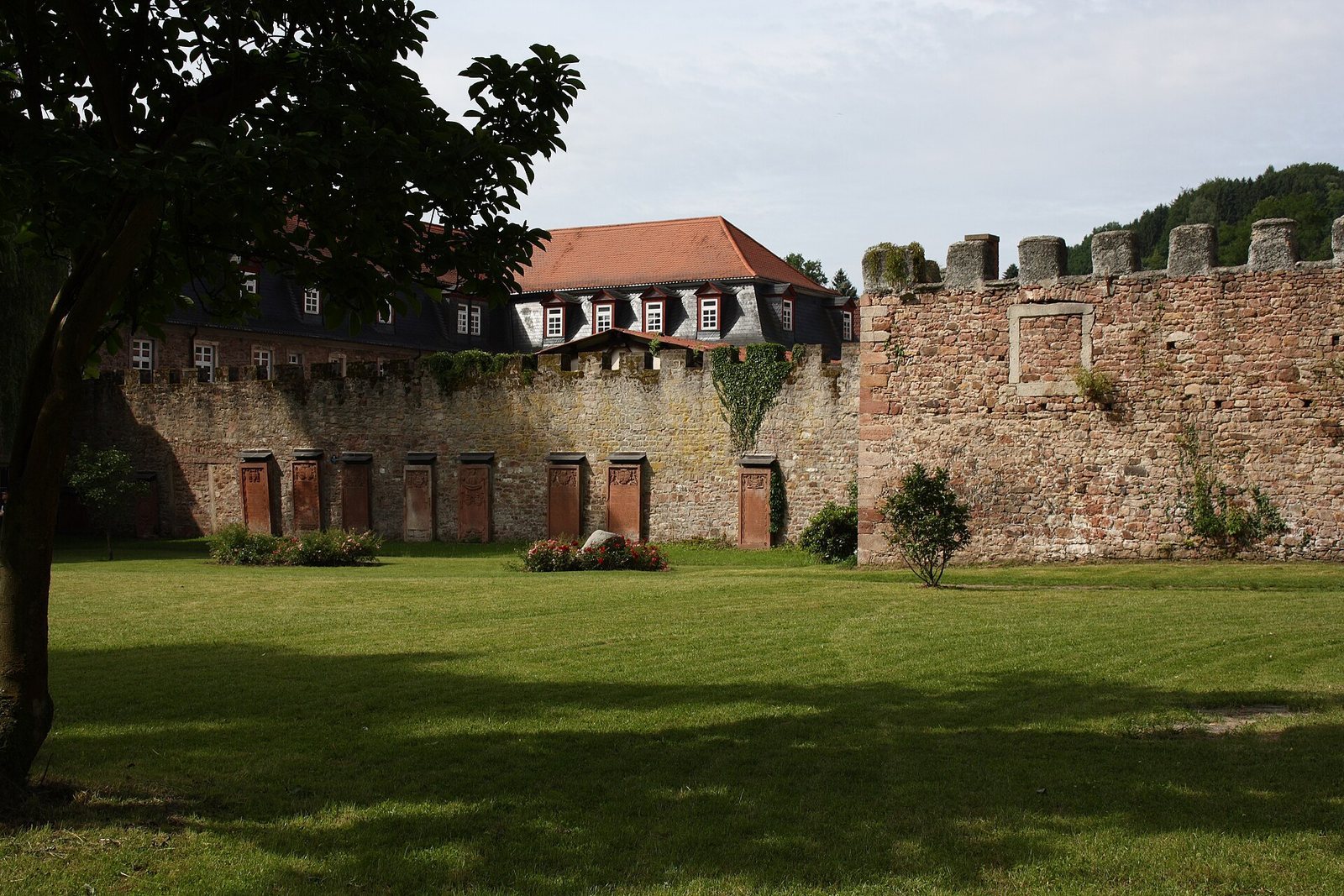
The park’s pheasantry was built of sun-dried clay bricks. The Otto Friedrich Spring, named for Prince Otto Friedrich, supplied drinking water to the pheasantry and castle. Its spring and filtration system occupy separate small buildings and are no longer in use. Epitaphs are also present in the park.
Trees and plantings
At least 48 notable, sometimes rare, trees and shrubs were planted as trials to assess growth and yield in local conditions. Two giant sequoias remain from research plantings of the 1950s and 1960s. Other non-native trees include a catalpa and a ginkgo beside the castle, which had been regarded as a curiosity when planted. A pyramidal oak once carried a lightning conductor intended to protect the castle. After that tree was felled, a new planting took its place.