Castrum Saint-Jean: A Medieval Castle and Settlement in France
Site at a Glance
- Popularity
- Medium
- Country
- France
- Primary era
- Medieval
- Eras represented
- Medieval
- Civilizations
- County of Provence, Holy Roman Empire
- Site type
- Settlement
- Remains
- Village
On this page9 sections
History
Medieval settlement
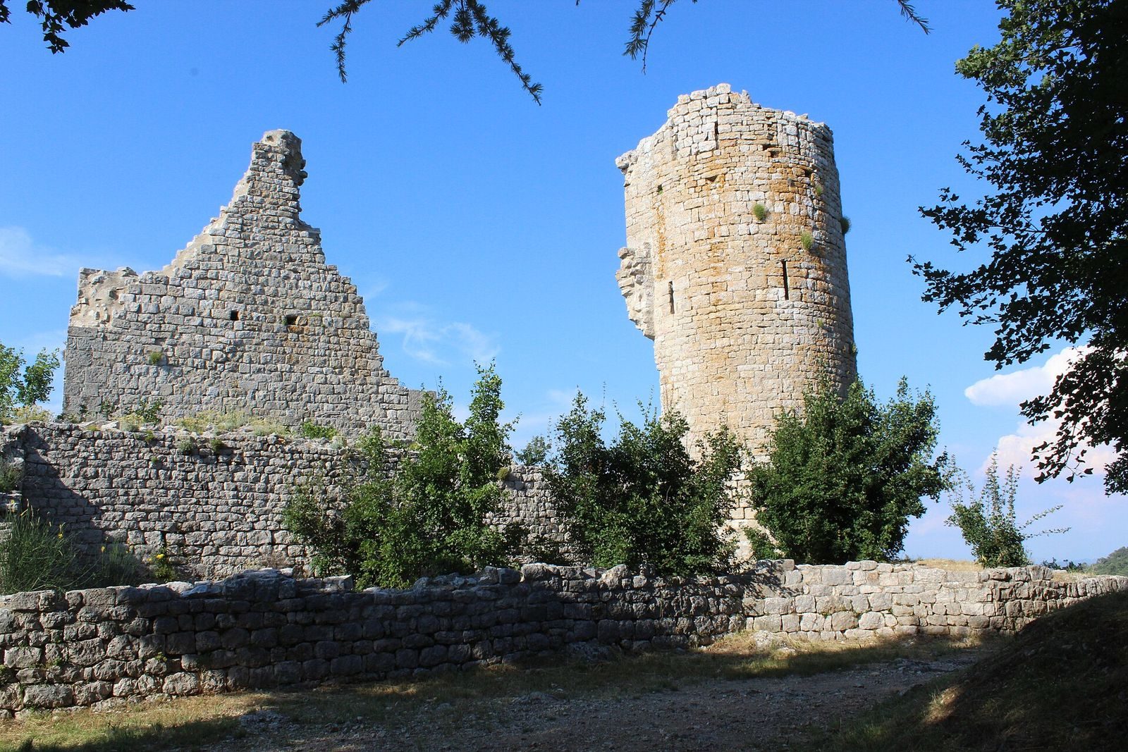
Castrum Saint-Jean is a medieval fortified castle and settlement in Rougiers, in France’s Var department. A castrum, or fortified place combining a castle with an inhabited settlement, on the estate of Rothgerium was recorded in 1040 and 1044 as property of the Vence family.
The mountain castle and village were occupied from the late 12th century into the early 15th century. As the settlement was abandoned, its inhabitants moved first to the hamlet site of Le Pays Haut and later to the location of today’s village of Les Quatre Cantons.
Commemoration and archaeological investigation
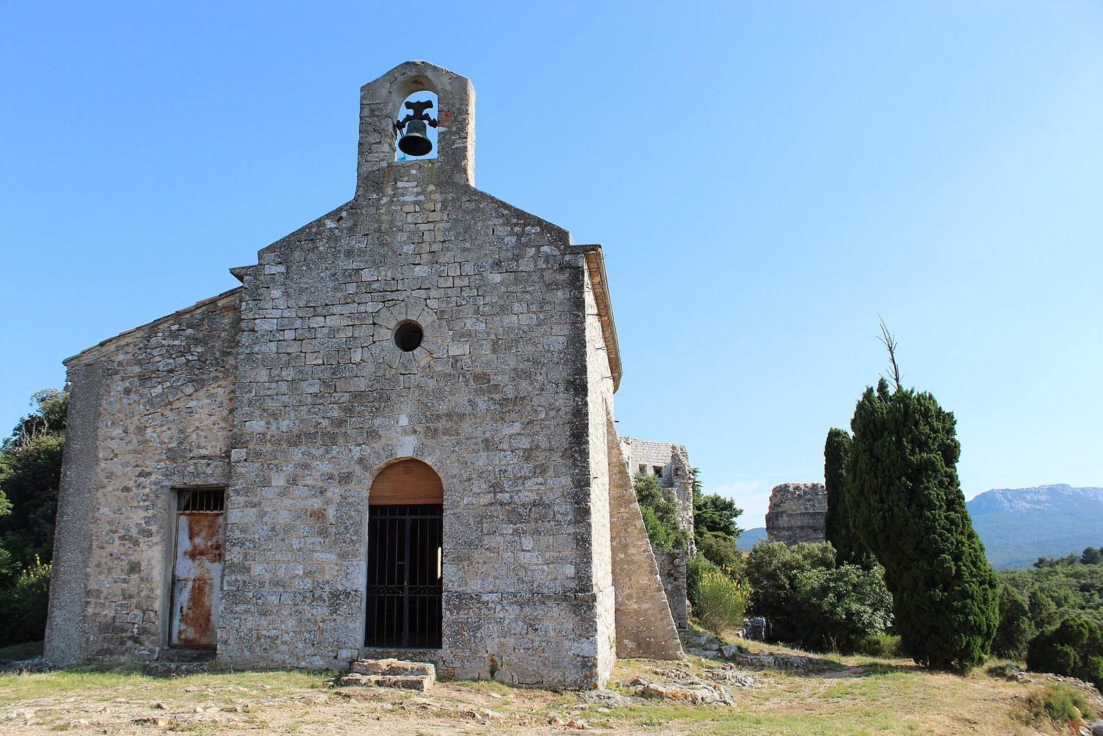
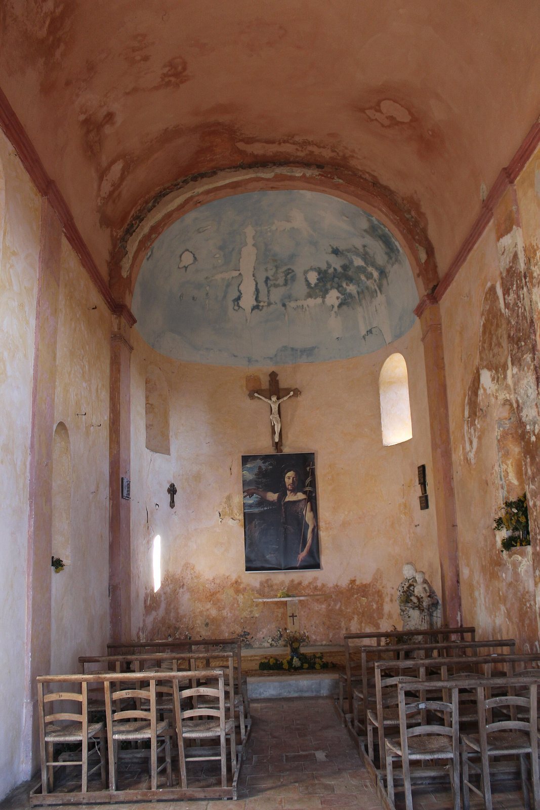
In 1860, inhabitants of the village built the Saint Jean de Solferino chapel to commemorate Emperor Napoleon III’s passage through their lands. Napoleon III ruled France from 1852 to 1870.
Gabrielle Démians d’Archimbaud led excavations at the site from 1961 to 1969. Workers recruited from bauxite mines undertook heavy labor in hazardous physical conditions. The project was the first modern investigation in France of a medieval village and an extensive early effort to explore a rural medieval settlement. Its long occupation, abundant finds, detailed observations, and regional setting helped influence medieval historians as archaeology brought new evidence and questions to the study of history.
The remains were classified as historic monuments in 1967. Démians d’Archimbaud completed a French state doctoral thesis on the excavation in 1978, and its results appeared in 1980. This was the first French archaeological publication to provide a comprehensive account of every aspect of a large-area excavation. Her use of finds to reconstruct residents’ material lives surprised many historians. The excavation methods received national recognition, and several diagrams showing archaeological layers, with her commentary, were reproduced in a manual by medieval historian and archaeologist Michel de Boüard. Dating the finds, especially pottery, proved difficult because a regional framework for comparison was not yet available.
Remains
Settlement and associated remains
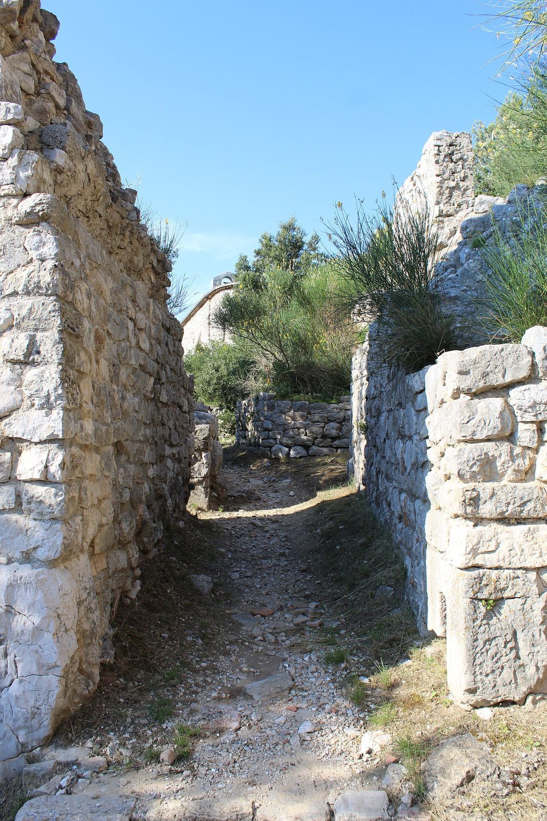
The ruins include a feudal castle and houses on the northeastern flank of a rocky bench, at about 550–600 metres above sea level. The site runs parallel to Piégu, a fortified settlement, and overlooks the Saint-Maximin basin, with views across much of the Sainte-Baume range and north toward Sainte-Victoire.
Settlement layout
The village covered 4,500 square metres, though buildings occupied only part of that area, leaving rough, rocky ground bare. To the east, the terrain and a long built enclosure bounded the settlement at the cliff edge. A defensive wall crosses the rocky flats on the western side. The southern remains are more dispersed where a modern road cuts through them. Most economic installations were in the denser central area, while the northern zone controlled the main access routes and contained numerous defensive buildings.
Castle
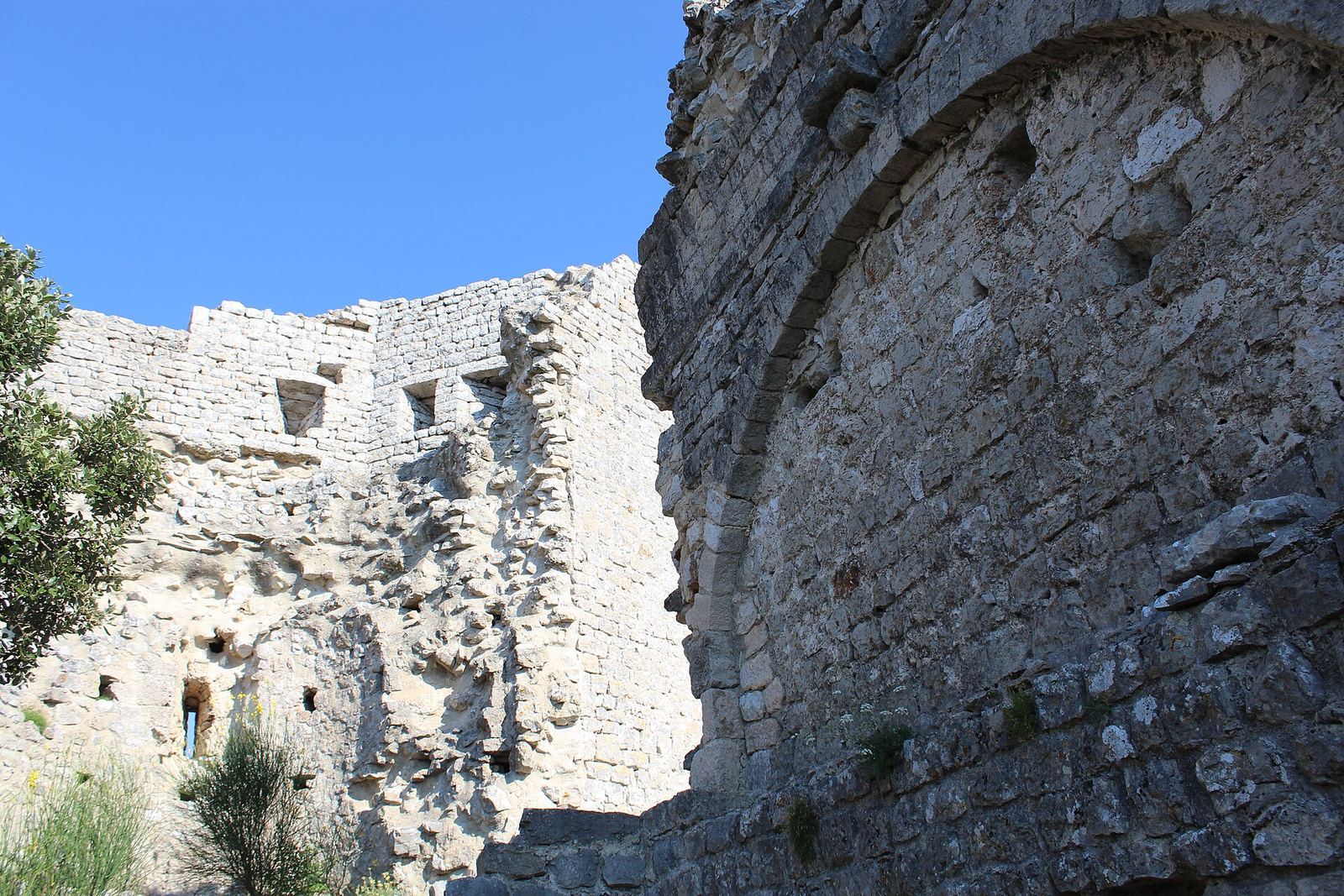
Identified castle features include an eastern defensive wall, a tower, a keep, and a passage through the castle. The keep, the castle’s principal fortified tower, and the castle interior contain narrow openings for defenders to fire through.
Chapel
The Saint Jean de Solferino chapel stands near the ruins of the lordly residence.
Excavated finds
Excavations recovered 93,919 pottery sherds, 2,600 objects made from metal, bone, ivory, antler, stone, or glass, and 114 coins.