Fort Paté: A Seventeenth-Century Fort Defending the Gironde Estuary
Site at a Glance
- Popularity
- Medium
- Country
- France
- Primary era
- Early Modern
- Eras represented
- Early Modern, Modern
- Civilizations
- French
- Site type
- Military
- Remains
- Fort
On this page8 sections
History
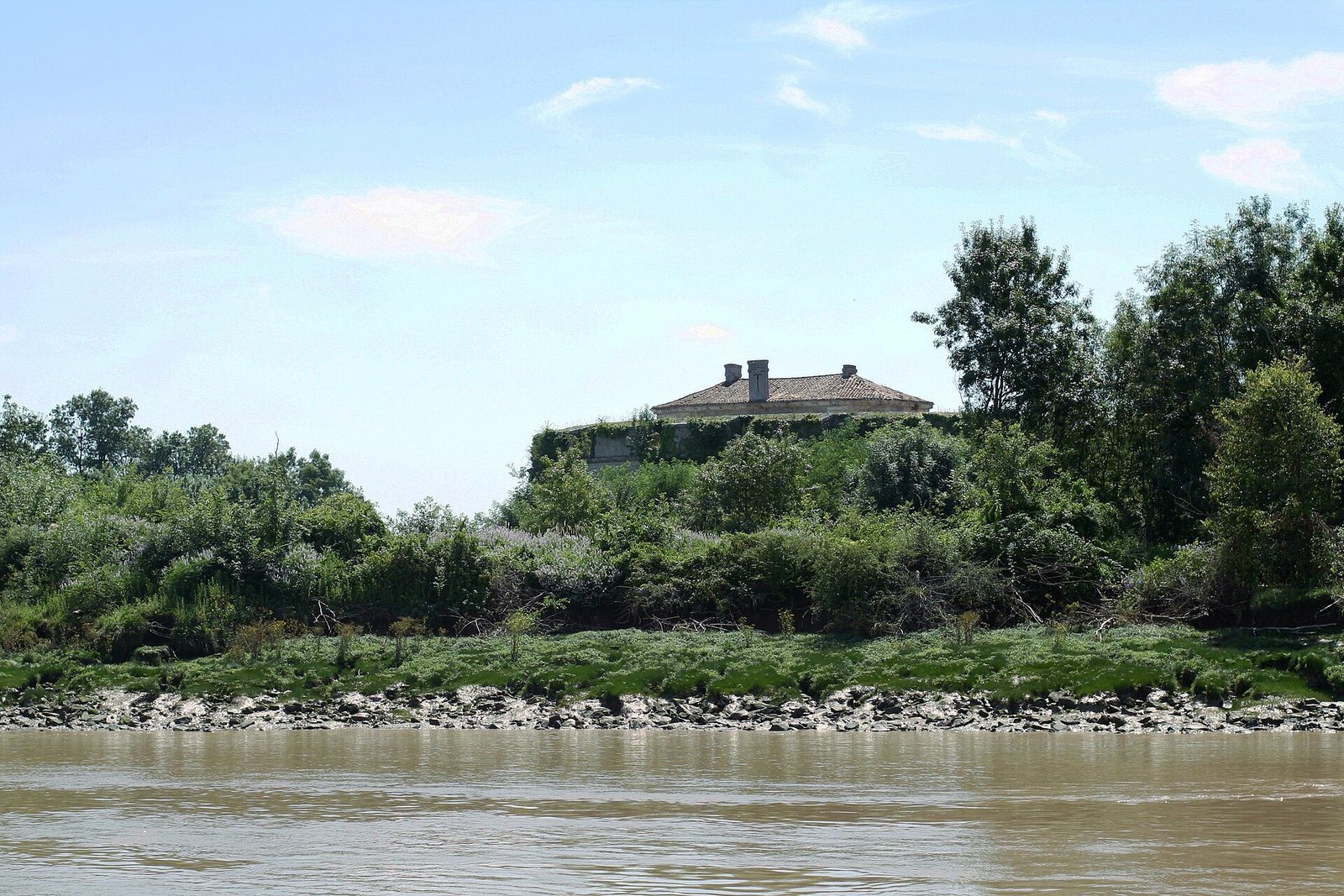
Fort Paté is a late-seventeenth-century French coastal fort on Île Paté in the Gironde estuary, within the commune of Blaye, France. It was built to help protect Bordeaux and its port from attack by sea.
Construction and the defense network
Plans for the fort were drawn up in 1689, and Louis XIV authorized construction in 1690. The project followed the Fronde, a series of civil conflicts in France during the mid-seventeenth century in which Blaye had played an important role. The French military engineer Vauban directed the work, which was completed in 1693.
Fort Paté, Fort Médoc, and the Citadel of Blaye formed a coordinated defense. Their positions allowed their guns to support one another and were intended to stop hostile ships from sailing upriver. The fort was regarded more as a deterrent than as a defensive position. French concerns included England, recalled through the Hundred Years’ War, the prolonged conflict between England and France, and Spain, whose threat was associated with the Fronde and the League-era political and religious conflicts.
Artillery and the changing military role
In 1759, the fort’s armament comprised eight 36-pounder guns, ten 24-pounders, and two 12-pounders. The heavier guns targeted ship hulls, while guns on the terrace fired chain shot, paired projectiles joined by a chain to damage sails and rigging. As artillery range increased during the nineteenth century, the estuary’s defensive line moved upriver. Fort Paté’s artillery role shifted away from the terrace and toward positions at its base, while the upper level was used for observation. Its strategic military function ended in 1935.
Name and later recognition
A royal decree soon gave the fort the name Fort Pâté. Tradition links the name to a story that Louis XIV thought the island’s rounded shape resembled his favorite pâté. The island was also known by the nickname Isle Chiabrena, associated with waste used in local brickmaking and with the dislike soldiers stationed there felt for their post. Fort Paté was listed as a French historic monument in 1935. In 2008 it joined the UNESCO World Heritage listing for the Fortifications of Vauban, a twelve-site group that includes Fort Médoc and the Citadel of Blaye. It was classified as a French historic monument in 2013.
Remains
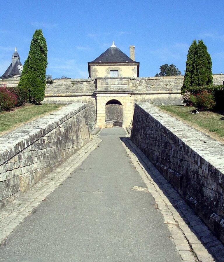
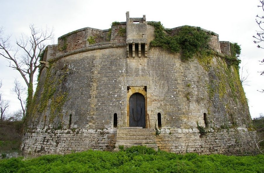
The fort has a compact oval form and stands about 12 metres high. Its walls are built mainly of cut stone, with brick on the outer faces of the gun openings exposed to attack. The fort lies on Île Paté, aligned with Fort Médoc and the Citadel of Blaye. A more ambitious design with four projecting bastions was abandoned because the ground was too weak to support it.
Foundations on shifting sand
Île Paté began as a sandbank only a few decades before construction. Shifting currents and sandbanks made the ground unstable. During a visit in May 1685, royal intendant Bazin des Bezons observed erosion, especially on the side facing the Médoc; bank-consolidation work probably followed around 1727. A double timber reinforcement stabilized the fort’s base. Builders also used rudimentary concrete and a local brick called mounaque, made with human and animal waste collected in Blaye, together with gravel, sand, and water. Silica in the waste acted as a binder. A mixture with crushed limestone could approach ordinary cement in strength, while bacteria are thought to have strengthened raw-earth bricks and improved their resistance to water. Vegetation helped bind the sediments, and the fertile island became more stable, allowing larger buildings on formerly marshy ground.
Interior arrangement and water supply
On the ground floor, rooms surround the powder magazine and together form a firing gallery with 32 narrow openings for shooting. A spiral staircase leads to the upper level, where a guardhouse stands between the kitchen and two smaller rooms, all protected by firing openings. Two stone sentry boxes served as observation posts. The southern one stands above the main entrance, which has an opening overhead through which defenders could drop objects onto attackers. Gargoyles carried rainwater from the terrace to the exterior, while roof water flowed into a cistern beneath the large vaulted gallery on the ground floor.
Gun positions and terrace
Uneven ground at the fort’s foot marks the lower battery, where heavy guns were probably placed behind a firing gallery that sheltered the gunners. Four protected, enclosed gun positions, or casemates, also stand at the base and were probably built in the second half of the nineteenth century. The terrace’s gun openings are now blocked, and a walkway there was adapted for observation.