Inca Trail to Machu Picchu: An Inca Road and Archaeological Route
Site at a Glance
- Popularity
- Very High
- Country
- Peru
- Primary era
- Medieval
- Eras represented
- Medieval
- Civilizations
- Inca
- Site type
- Infrastructure
- Remains
- Road
On this page21 sections
History
The Inca Trail to Machu Picchu is a roughly 42-kilometer route in Peru’s Cusco region and part of the Qhapaq Ñan, the extensive road network of the Inca Empire. Many sections retain Inca construction, and the route connects archaeological sites associated with settlement, farming, ceremonies, lookout duties, and communication across the Andes.
Before and during Inca use
Human activity along the route predates the Inca. Willkaraqay was inhabited around 500 BC and served as a lookout above the meeting of the Cusichaka and Urubamba rivers. Nearby Patallaqta supported ceremonies and religious practices, crop growing, and housing for soldiers connected with Willkaraqay.
Under the Inca, Patallaqta, Sayaqmarka, Phuyupatamarca, and Wiñay Wayna became permanent centers of habitation, cultivation, and ceremony. At Phuyupatamarca and Wiñay Wayna, water supplied to the baths also had a role in water worship. Runkuraqay and Qunchamarka served a different purpose as roadside waystations and small forts. Inca messengers could obtain supplies there and relay information along the route.
Exploration and conservation
Hiram Bingham III found Phuyupatamarca largely hidden by vegetation. The later Fejos expedition gave the site its name and cleared the remaining growth. Intipata was also uncovered in recent times, and Runkuraqay underwent extensive restoration in the late 1990s.
The route lies within the Historic Sanctuary of Machu Picchu, administered by SERNANP, Peru’s agency for protected natural areas. It is also included in the UNESCO World Heritage property associated with the Qhapaq Ñan, inscribed in 2014. Since 2001, conservation measures have sought to limit erosion and other human impacts, and SERNANP now manages the trail’s annual February closure for cleaning and maintenance.
Remains
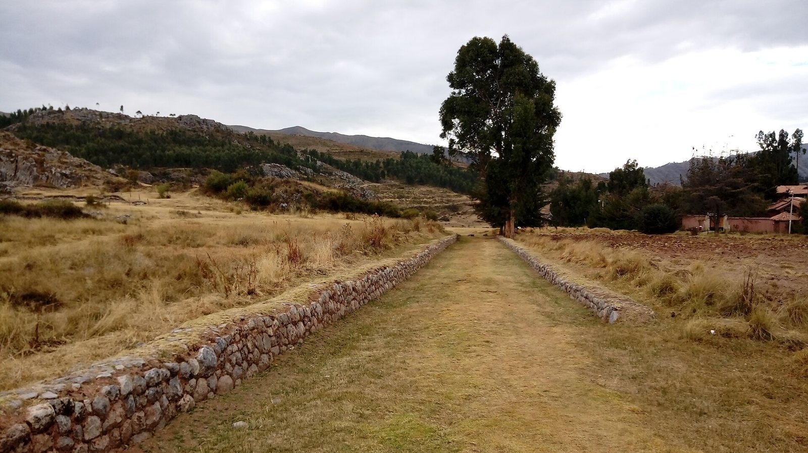
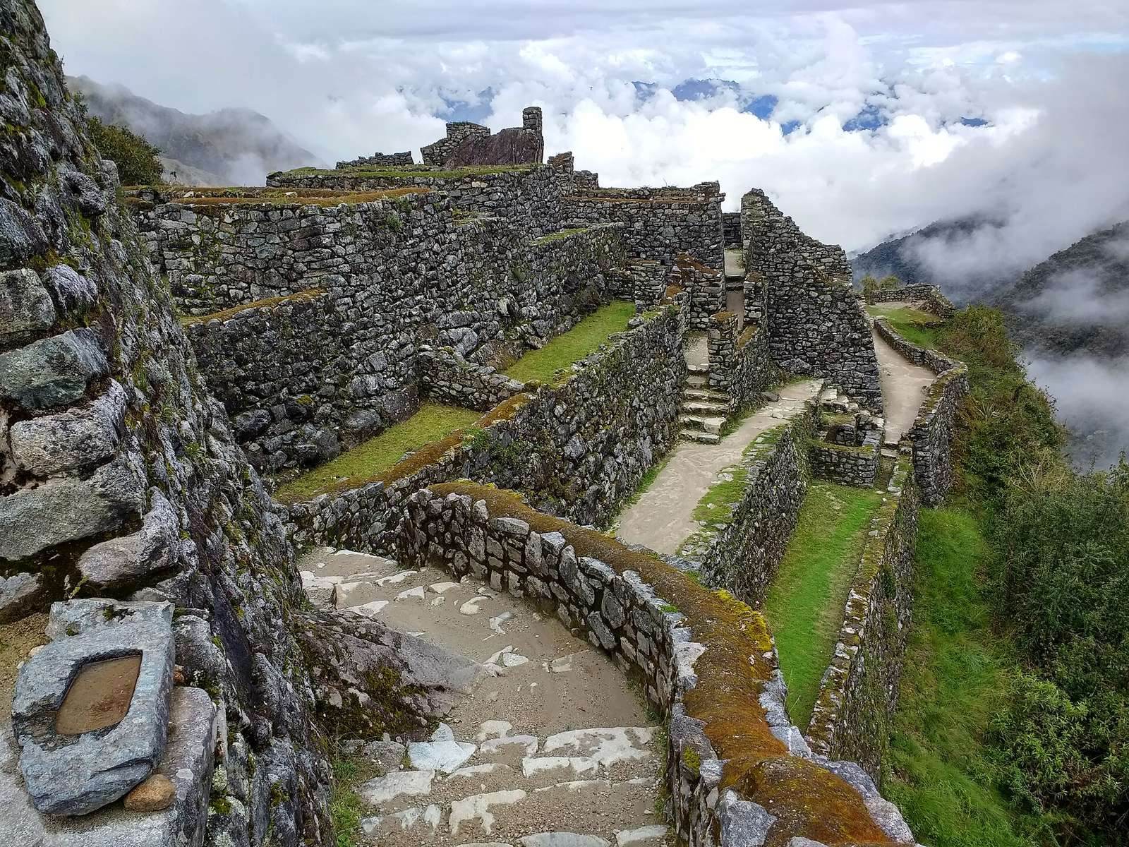
The remains are distributed along a mountain route rather than gathered in one enclosed site. Inca-laid paving and cut tunnels occur among hillside settlements, agricultural terraces, waterworks, and small forts. The route follows river valleys, crosses high passes, and descends through steep terrain toward Machu Picchu.
Route and landscape
Route alignment and elevations
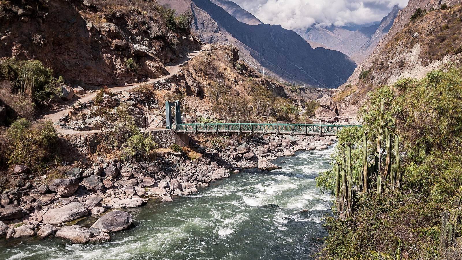
The route includes three overlapping alternatives: the Mollepata, Classic, and One Day trails. The Classic route starts in the Urubamba River valley at either Piskakuchu, at kilometer 82 and about 2,600 meters above sea level, or Qoriwayrachina, at kilometer 88 and about 2,800 meters. The branches meet at or above Patallaqta’s terraces, then follow the Cusichaka River. At Wayllabamba, around 3,000 meters, the trail turns west and climbs beside a tributary.
The Mollepata route, the longest alternative, crosses the Salkantay Pass above 4,600 meters before meeting the Classic route at Wayllabamba. Other shorter approaches begin at kilometer 104 or at Chachabamba, near kilometer 108 and about 2,000 meters. The Chachabamba approach stays below 2,700 meters and joins the Classic route at Wiñay Wayna. Across the route, the overall climb is about 2,500 meters. Warmi Wañusqa, the highest point on the Classic route, reaches 4,215 meters, before the path descends to Machu Picchu at about 2,430 meters.
Andean environments
The trail crosses cloud forest, alpine ground, and wet puna, the wetter form of high-elevation Andean grassland. Cloud forest vegetation includes Polylepis trees, red cinchona, local alders, mahogany, coral trees, and species of Escallonia and Nectandra. Peruvian authorities have counted 340 orchid species along the route. Wildlife includes the Andean cock-of-the-rock, torrent duck, long-tailed otter, coati, puma, and spectacled bear.
In the wet puna, ichu grass grows among shrubs such as the threatened endemic qeñua, Myrcianthes oreophila, and Escallonia myrtilloides. Llamas graze near Llulluchapampa. Other animals of this high grassland include an endemic agouti, viscachas, the Magellanic fox, and the Andean condor.
Settlements and waystations
Willkaraqay and Patallaqta
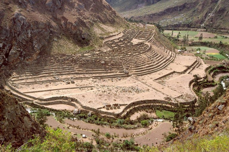
Willkaraqay occupies a lookout position above the confluence of the Cusichaka and Urubamba rivers. Below it, Patallaqta forms an extensive settlement with terraces. Small permanent settlements also lie beside the trail where it rises and falls along the Cusichaka.
Runkuraqay and Qunchamarka
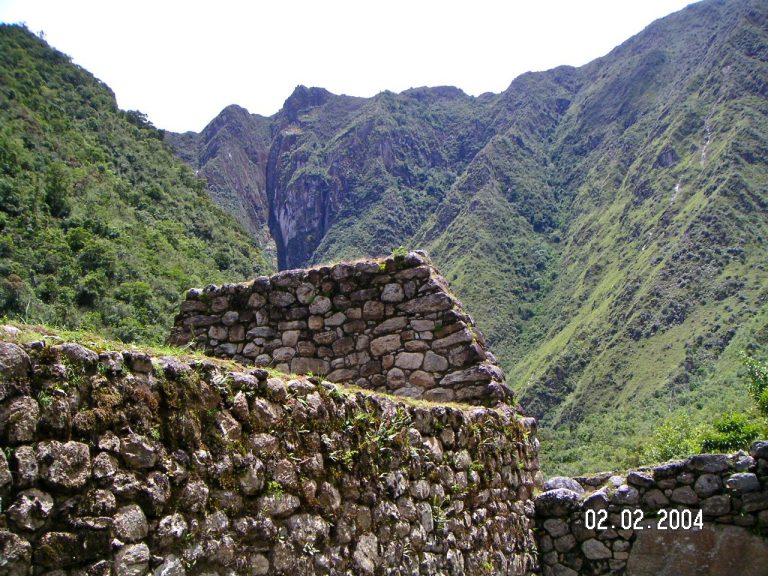
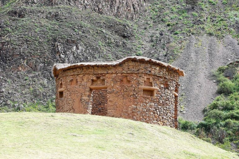
Runkuraqay stands at about 3,750 meters, roughly one kilometer up the far side of the valley, overlooking the ground below. Qunchamarka is another waystation along the route. Both belong to the group of small fortified stops, distinct in purpose from Willkaraqay’s lookout position. Runkuraqay was extensively restored in the late 1990s.
Sayaqmarka
Beyond the next pass, at about 3,950 meters, the route winds through high cloud forest to Sayaqmarka and then continues to Qunchamarka. Retaining terraces at Sayaqmarka also form substantial walls.
Wayllabamba and route-side camps
Wayllabamba, at around 3,000 meters, is the last inhabited area along the trail, with about 400 residents, or roughly 130 families. Higher along the ascent are the Tres Piedras campsite at about 3,300 meters and Llulluchapampa at approximately 3,800 meters. The Pakaymayu campground lies about 2.1 kilometers beyond Warmi Wañusqa and 600 meters below the pass. Quchapata, a small lake in deer habitat, lies along the route beyond Runkuraqay and was formerly used as a campsite.
Agricultural terraces and waterworks
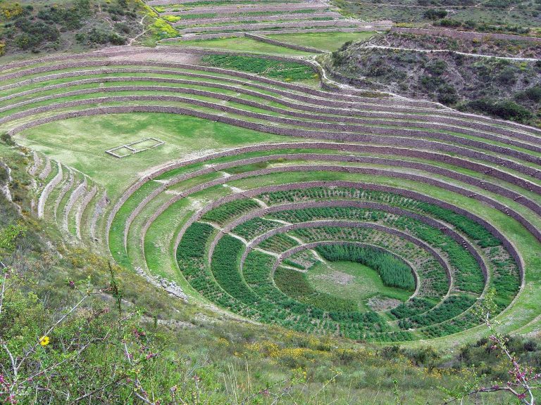
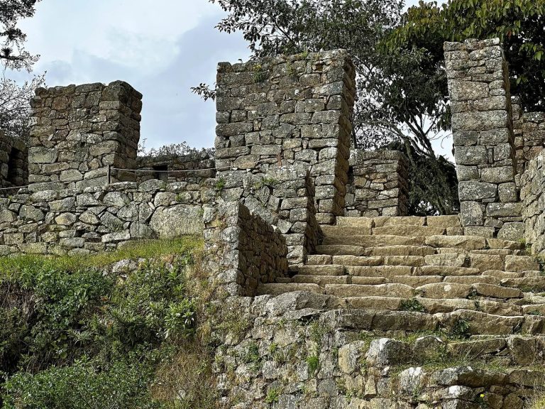
At Patallaqta, Sayaqmarka, Phuyupatamarca, and Wiñay Wayna, irrigated terraces are associated with residential and ceremonial areas. At Sayaqmarka and Phuyupatamarca, terrace structures also serve as substantial retaining walls.
Patallaqta
Patallaqta’s extensive terraces form part of a settlement laid out above the Cusichaka. The Classic trail branches meet at or above these terraces, making them a key feature of the route’s upper river valley section.
Intipata
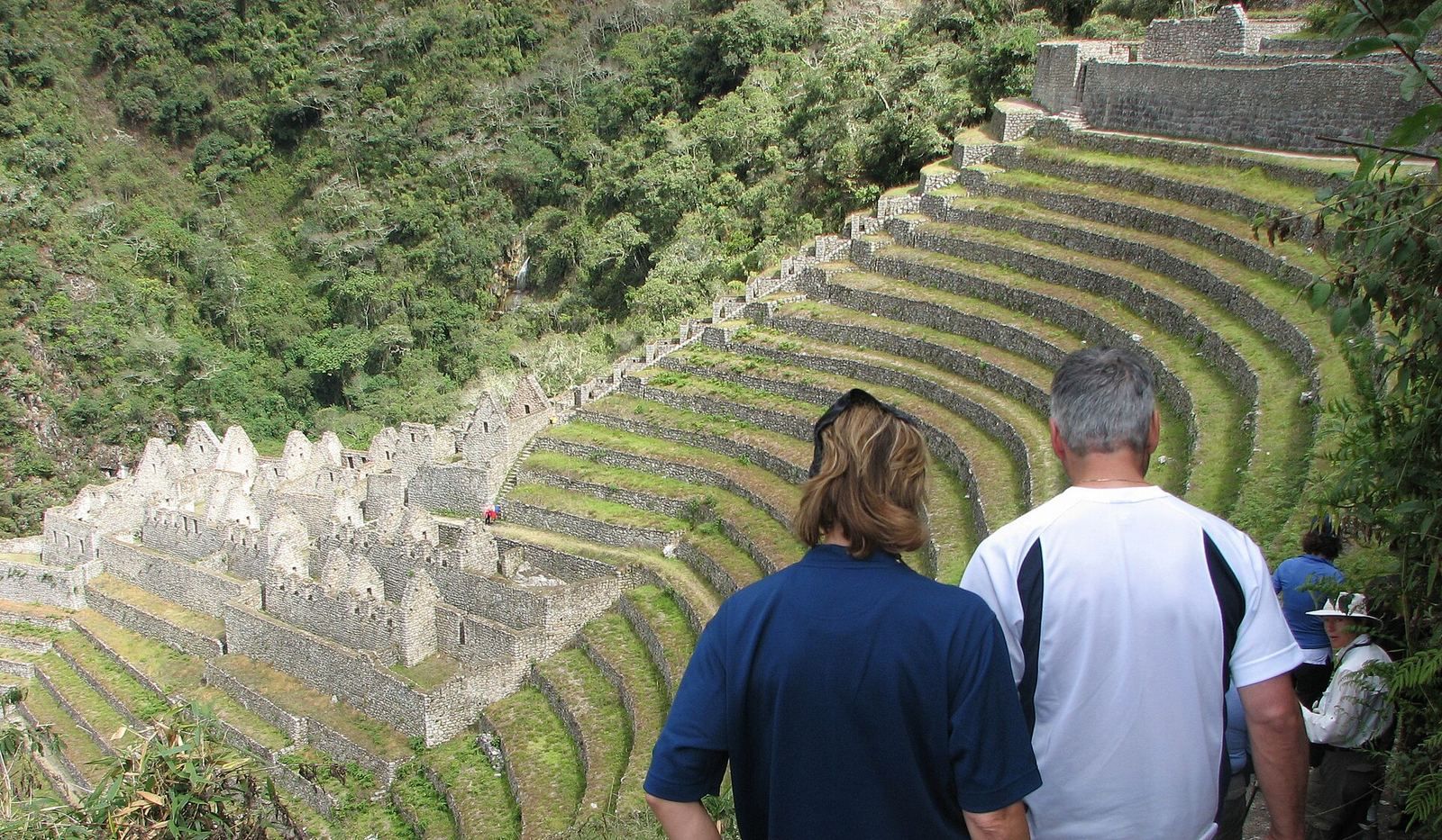
Intipata, also called Yunkapata, is a broad agricultural complex whose terraces follow the convex shape of the slope. Potatoes, maize, fruit, and sweet potatoes were grown there. A small spur from the trail leads directly to Wiñay Wayna, while a faster approach joins the Classic route near Intipata at a campsite with the Caruso refuge, about 2,650 meters above sea level.
Phuyupatamarca
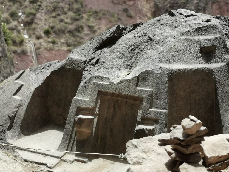
At Phuyupatamarca, the settlement follows the natural contours of the site. Its remains include five fountains and an altar that was probably used for llama sacrifice. Aqueducts supplied the water installations, and the terraces also function as retaining walls. The ruins and a campsite share the name Phuyupatamarca.
Wiñay Wayna
Wiñay Wayna refers both to a group of ruins and to nearby modern facilities. Its upper and lower building groups occupy a concave mountainside among multiple agricultural terraces. A long chain of fountains or ritual baths runs between the groups, supplied by as many as 19 springs.
Passes, stairways, and the final approach
Warmi Wañusqa and the Pakaymayu descent
Warmi Wañusqa means Dead Woman’s Pass, a name associated with the ridge’s resemblance to a woman lying on her back. After crossing the pass, the trail descends steeply into the Pakaymayu drainage. The route then climbs toward Runkuraqay and a second pass at about 3,950 meters.
Inca tunnels and stairways
After Qunchamarka, the trail passes through a long Inca-cut tunnel and reaches a viewpoint over the Urubamba and Aobamba valleys. Following another high point at about 3,650 meters, it descends toward Phuyupatamarca. The descent from this area is about 1,000 meters and includes an irregular staircase of roughly 1,500 steps, some cut into solid granite. A second Inca tunnel lies on this section. Elsewhere, stretches of the route retain Inca-laid paving stones.
Inti Punku
From Wiñay Wayna, the route undulates beneath the crest of the mountain’s eastern slope for about three kilometers before climbing steep stairs to Inti Punku, or the Sun Gate, at approximately 2,700 meters. The gateway forms part of the Machu Picchu site and stands more than 200 meters above its principal ruins. A short descent completes the trail.