Stilsko: An Early Medieval Slavic Fortified Settlement in Ukraine
Site at a Glance
- Popularity
- High
- Country
- Ukraine
- Primary era
- Medieval
- Eras represented
- Medieval, Modern
- Civilizations
- Unclassified
- Site type
- City
On this page16 sections
History
Stilsko is an early medieval Slavic fortified settlement on a forested plateau above the present village of Stil’s’ko in Lviv Oblast, Ukraine. Founded in the seventh century, it flourished around the ninth and tenth centuries and was probably the capital of White Croatia, a territory associated with the White Croats, an early medieval Slavic people of the northern Carpathian region.
Early medieval development
The surrounding region formed part of Great Croatia, a territory associated with the White Croats, by the sixth century. Open Slavic settlements appeared in and around Stilsko from the mid-seventh to early eighth century. The settlement’s principal sanctuary was at nearby Iliv.
Stilsko probably served as White Croatia’s capital in the eighth and ninth centuries. Archaeologist Orest Korczynski proposed that it may have kept this role until 993, after which the settlement belonged to the Rus state, a medieval East Slavic state. Stilsko’s population during its flourishing period has been estimated at about 40,000. Warfare contributed to its decline, which had taken hold by the fourteenth century.
Medieval references and local tradition
A Vatican archival record from the tenure of Theognost, metropolitan of Kyiv from 1328 to 1353, connects Stilsko with the Galician metropolitanate. It assigns the town 30 hryvnias, a medieval monetary unit used in Rus, three times the payment listed for Halych. The amount has been interpreted as a sign of Stilsko’s importance. Other Greek records written no later than the 1530s describe it as a town between Halych and Volodymyr and as a residence of the Galician metropolitanate.
The name Stilsko has been interpreted to mean capital, but this meaning does not by itself establish the settlement’s political status. Local tradition tells of a capital destroyed after attackers pretended to retreat. When the inhabitants lowered their guard and opened the main gates, the attackers supposedly set the city alight. Survivors are said to have moved to the Kolodnytsia valley and named a new settlement Stilsko in memory of the lost capital.
Archaeology and modern protection
Finds from the site attracted collectors from the eighteenth century, and archaeological attention grew in the 1970s. An Upper Dniester expedition began work in the 1980s under Korczynski, whose excavations at Stilsko ran from 1981 to 2000.
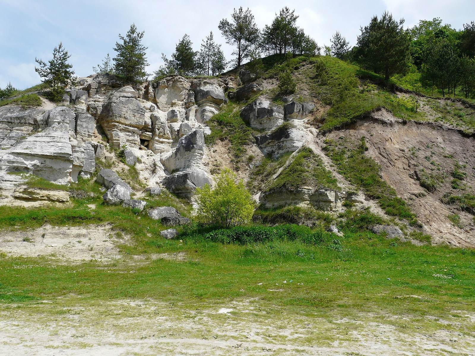
Stilsko entered Ukraine’s State Register of Immovable Monuments in 2001. In 2003, the Ukrainian parliament called for consideration of a state historical and cultural reserve and the government instructed the regional administration to prepare the necessary documentation, but the plan was not carried out at that time. The Lviv Regional Council voted to establish a reserve in 2015, and the site is included among nationally significant archaeological monuments. Erosion continues to damage much of the settlement. Attempts to construct a lake took place in 2015, while unauthorized works in April and May 2020 to install a gypsum statue of Mary, known in Christian tradition as the Mother of God, altered the medieval site’s appearance.
Remains
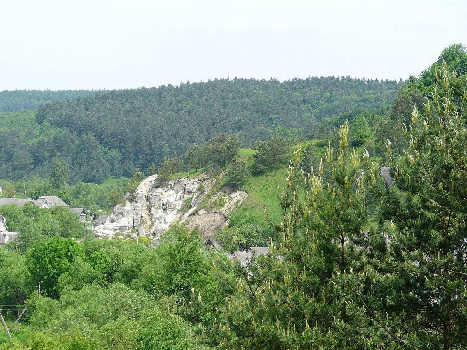
The city occupied a forested plateau above the present village. Its layout combined a fortified inner center with a surrounding suburb, enclosed by successive lines of earthworks, ditches, and artificial terraces. The ramparts supported wooden defenses, while deep ravines cut north to south through the settlement.
Fortifications and movement
Citadel and defensive lines
The settlement covered as much as 250 hectares, and its defensive works extended for about 10 kilometres. The fortified inner citadel, known as a detinets, or the fortified core of a medieval settlement, covered about 15 hectares. Contemporary Kyiv covered 9.7 hectares. A fortified suburb enclosed the citadel. The defenses are described as 7 to 10 metres high and compared with the Serpent’s Walls, a system of large earthworks in Ukraine.
Earthen ramparts carried wooden walls and towers, with residential, domestic, and military buildings attached on their inner sides. Substantial earthworks occupied a commanding height at the settlement’s center. Some surviving rampart sections are 2 to 2.5 metres high. An eastern rampart had a wooden palisade and ditch, while deep ravines crossed the site from north to south.
Roads and approaches
Several roads led into the city. Timber watchtowers made from logs 5 to 6 metres long stood beside them. Grooves on the mountain slopes survive as evidence of fittings for suspension bridges. A paved stretch of one main approach was traditionally known as the White Road.
River and water transport
The Kolodnytsia River flowed at the foot of the city. In the ninth century, an 11-kilometre waterway constructed along the river connected Stilsko with the Dniester. A system of dozens of sluices regulated the river level and allowed small vessels to travel upstream. A separate proposed interpretation links the settlement to the Dniester bank by an ancient cable-driven transport system said to have used an 11-kilometre cable.
Domestic remains and surrounding settlements
Houses and household finds
Excavations in the fortified suburb uncovered several dozen residential, domestic, and craft features, including estates associated with wealthier residents. Floors in houses destroyed by fire contained stone-heated ovens, wheel-made and handmade pottery, everyday objects, and weapons.
Earlier activity and nearby settlements
The surrounding area preserves traces of settlement from the Late Paleolithic. Eneolithic artifacts have been found at nearby Iliv, while Bronze Age pottery fragments and flint tools came from locations near several burial mounds. Fragments of handmade pottery associated with the Hallstatt culture, an early Iron Age cultural tradition of Central Europe, were found on the right bank of the Kolodnytsia in central Stilsko.
Open Slavic settlements coexisted with the fortified city from the late eighth to mid-tenth century. Of these settlements, 96 percent occupied high, difficult-to-reach plateau promontories above rivers. A ninth- to tenth-century settlement covering 2.75 hectares lies on Mount Kanicha, 2.3 kilometres northeast of Stilsko. Another, covering 3 hectares, was recorded at Laski 1 on the southern edge of Dubrova, 1.7 kilometres away.
Ritual and underground features
Cult places and related dwellings
Dwellings several dozen metres southwest of the outer rampart were used in the tenth and eleventh centuries by people who served a pagan cult, meaning pre-Christian local religious worship, and by their attendants. About ten pagan shrines survive in villages around Stilsko. Within the settlement, a ritual area is approached by seven parallel tunnels. A sacrificial stone there was probably used as a place for an idol.
Rock-cut rooms
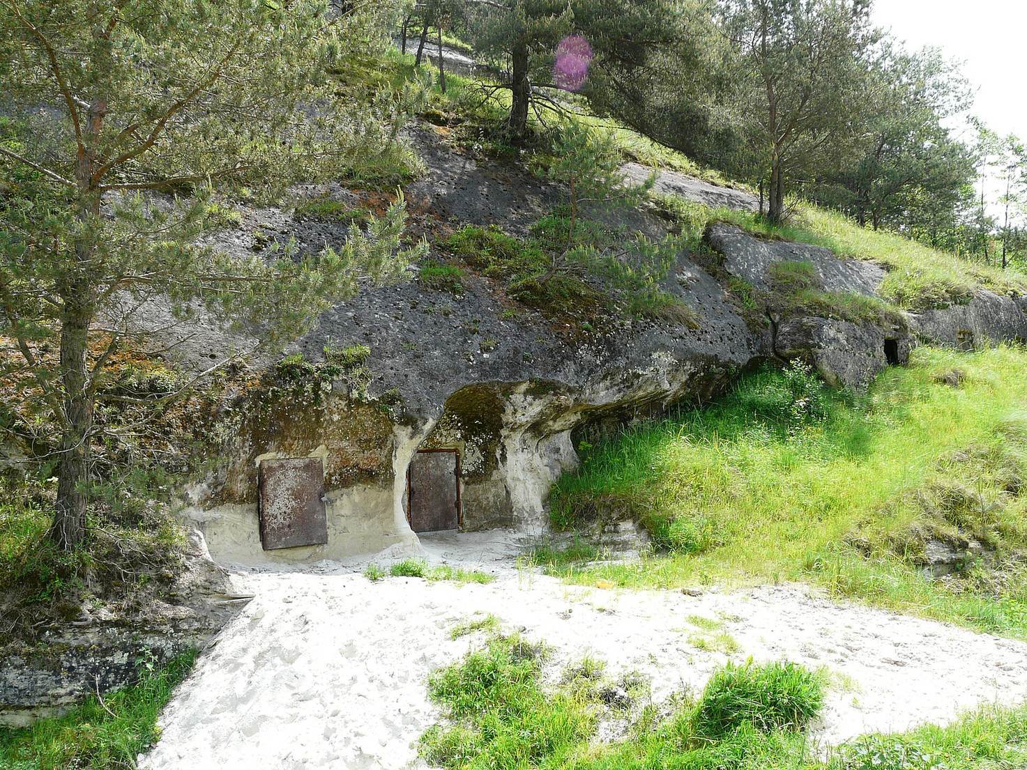
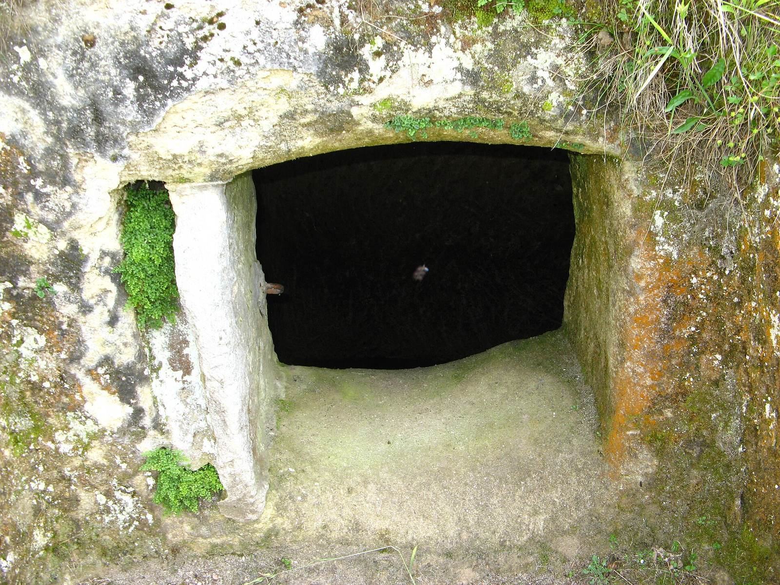
Cave complexes identified in the late 1980s include rooms cut into rock no later than the first third of the ninth century, before the spread of Christianity in the area. Monks later used the rooms.
Underground traditions and place-names
Local tradition describes an underground city beneath the settlement. Korczynski proposed that underground labyrinths might exist and could be partly artificial. Place-names around the site preserve names associated with features or districts, including the Golden Gate, Iron Gate, Tower, Prince’s Well, Storehouse area, Lower Storehouse, and Dam.