Burgstall Schlossberg (Haidhof): A Medieval Castle Site in Germany
Site at a Glance
- Popularity
- Low
- Country
- Germany
- Primary era
- Medieval
- Eras represented
- Medieval
- Civilizations
- Holy Roman Empire
- Site type
- Military
- Remains
- Castle
On this page12 sections
History
Burgstall Schlossberg (Haidhof) is the remains of a nobleman’s castle in Gräfenberg, Germany, probably built in the second half of the 12th century during the High Middle Ages, the central period of medieval European history from the 11th through 13th centuries.
Prehistoric occupation
The castle occupied an earlier fortified site, probably a hill settlement. The Bavarian State Office for Monument Protection classifies it as a probable settlement of the Urnfield period, a Late Bronze Age period, and of the late Hallstatt or early La Tène period, associated with the earlier and later Iron Ages respectively.
The medieval castle
Castle historian Hellmut Kunstmann dated construction to the second half of the 12th century. The castle had probably fallen into decay by the early 13th century. It stood beside a medieval road that ran from Eggolsheim through Weilersbach, Kirchehrenbach, Leutenbach, and Ortspitz, past the castle, and onward through Haidhof, Thuisbrunn, and Dörnhof to a road in the Trubach valley.
A later reference
A terrain survey prepared by the self-governing Imperial City of Nuremberg before the War of the Landshut Succession (1504–05), a conflict over the succession to the Duchy of Bavaria-Landshut, refers to a defensive position at the Flöß. This is an indirect reference to the castle.
Remains
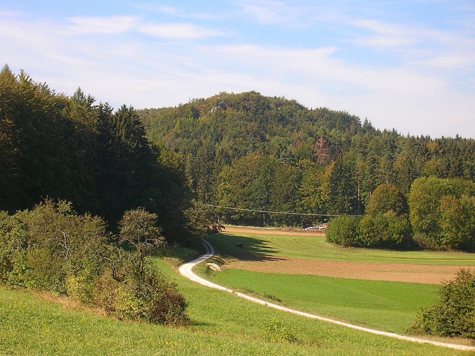
The castle occupied the rocky, southeast-pointing Flöss spur on Haidhofer Schlossberg, within the Franconian Switzerland-Veldenstein Forest Nature Park. The site lies at 560.1 m above sea level, below the hill’s 569 m summit. Its narrow ridge, steep sides, and cross-cut ditches shaped a layout divided into outer and inner defended areas.
Approach and outer ward
Ridge and building pit
The ridge extends for about 130 m and is as narrow as 2 m in places. Its first 30 m run west to east before it bends southeast. The southern slope descends steeply, while the north side forms a near-vertical rock face about 10 m high. A pit before the castle area is 2–3 m deep and 7 m wide; it was probably dug to obtain building material.
First ditch and crossing
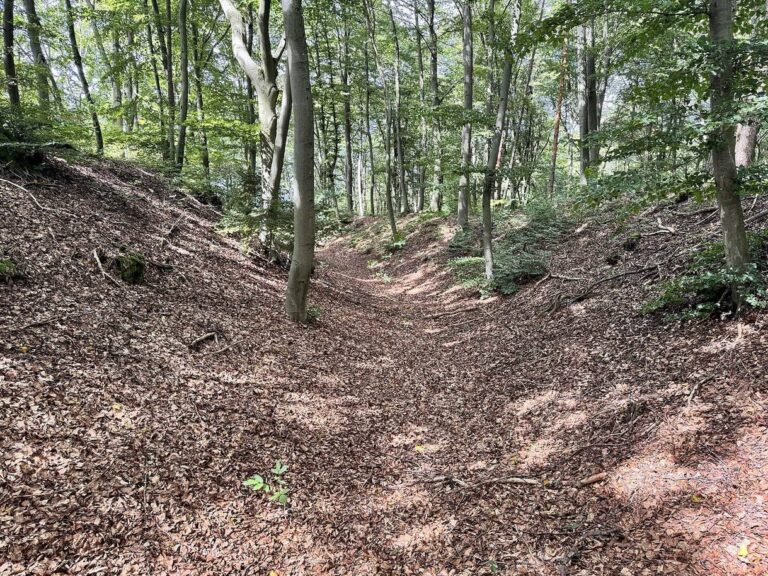
A probably unfinished neck ditch, a defensive trench cut across a narrow ridge connection, separates the higher castle ground from the spur. It runs north to south across roughly two-thirds of the spur, with the remaining third likely natural ground. About 4 m deep and 4 m wide, it has steps descending into it. A strip left across the ridge may have allowed building materials to reach the site. A terrace between the ditch and castle may have served as a defensive space between outer and inner defenses.
A rock pinnacle in the ditch’s northern part, sometimes called Sacrifice Rock, served as a bridge pier. A fixed bridge probably reached it, with a sloping drawbridge continuing toward the castle entrance.
Square building and outer-ward wall
About 5.5 m beyond the ditch, the outline of a square building is visible in wooded ground. Its sides measured about 12 m, and Kunstmann estimated the walls at roughly 1 m thick. A vertically cut rock face suggests that the southern half may have had a cellar. The access route crossed the bridge and passed north of this probably tower-like building into the outer ward, the outer area of the castle enclosure.
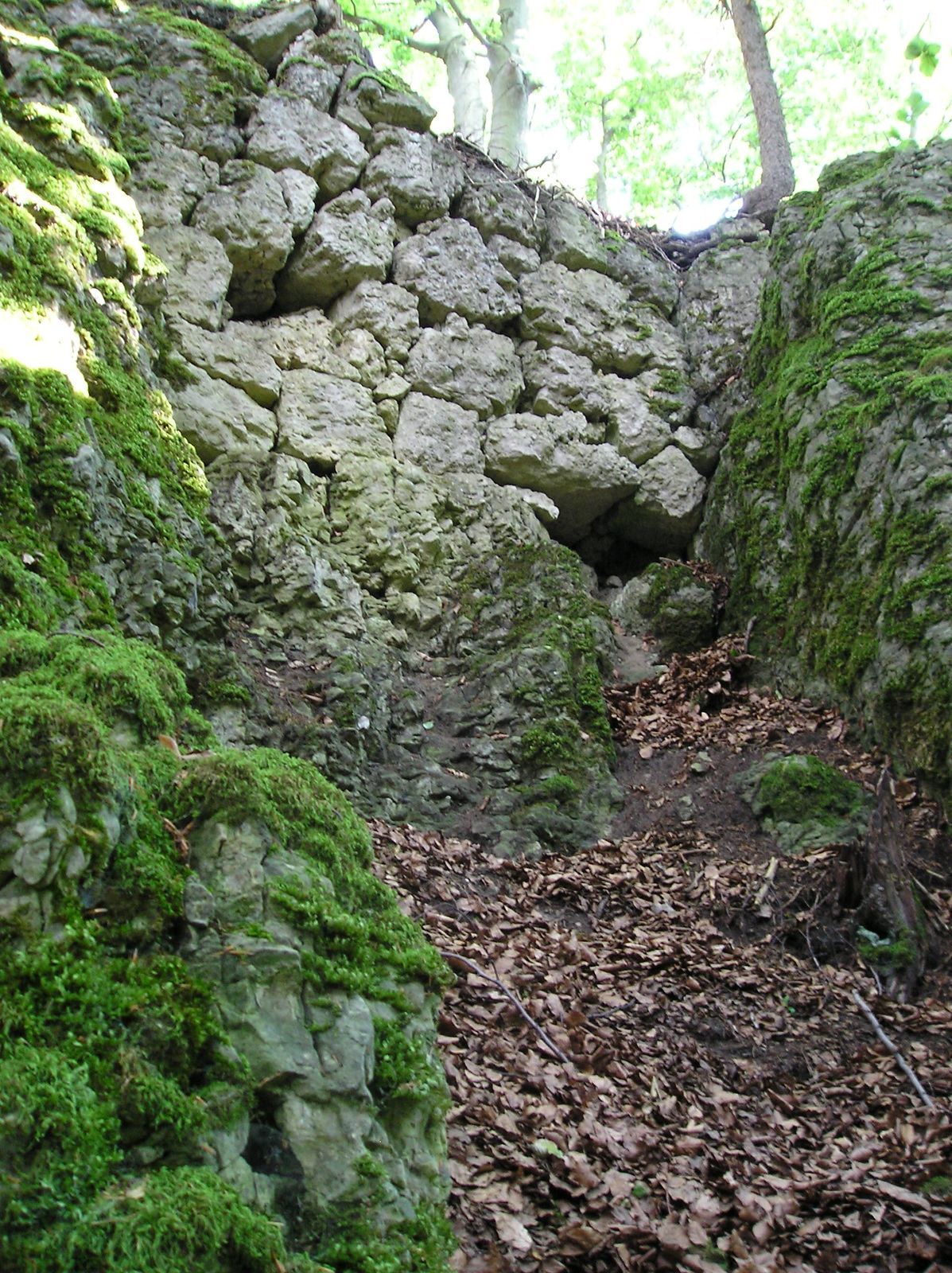
On the outer ward’s north side, a retaining wall survives in a rock crevice. It stands about 3 m high and consists of five courses of dressed stone blocks, some up to 50 cm wide. Artificial rock workings are also visible elsewhere in the outer ward.
Inner enclosure and spur tip
Second ditch and entrance
A second neck ditch, about 3–4 m deep and 3 m wide, divides the outer ward from the inner enclosure. A wooden footbridge crosses it where a drawbridge probably once stood. Rock workings just beyond the ditch indicate a gatehouse; farther along are collapsed wall remains belonging to a building about 5 m wide.
Terminal plateau
At the end of the spur, a final plateau measures 5 by 12 m. It is now used as a viewpoint.