Burgstall Burgstein: A Former Castle Site in Germany
Site at a Glance
- Popularity
- Very Low
- Country
- Germany
- Primary era
- Medieval
- Eras represented
- Medieval
- Civilizations
- Holy Roman Empire
- Site type
- Military
- Remains
- Castle
On this page8 sections
History
Burgstall Burgstein is a former castle site in the Franconian Jura of Germany. The hill may have been settled during the Urnfield period, a later Bronze Age era when cremated remains were buried in urns. The castle was probably founded in the 11th century and may have served as the ancestral seat of the free nobles of Leutenbach, from whom the free nobles of Niesten descended.
The Leutenbach family
Frederich I is associated with the family in a 1079 letter from Pope Gregory VII, although the letter gives him no family name. An imperial charter of 1112 identifies Engilhard as a free man of Leutenbach. The castle may have been intended to watch an old road from Eggolsheim, via Weilersbach, Kirchehrenbach, and Leutenbach, then past Burgstein and through Ortspitz, Haidhof, Thuisbrunn, and Dörnhof to the road in the Trubach valley. A branch at Ortspitz led directly to Egloffstein.
Bamberg and later traditions
The Leutenbach line ended with Otto II in 1203. The castle then passed to the Prince-Bishopric of Bamberg, a territory governed by a bishop with both religious and secular authority. It appears to have had no further use and was left to decay.
Local tradition calls Burgstein ‘Upper Leutenbach Castle.’ The site may have succeeded an earlier castle near the Chapel of St Maurice, which may itself have developed from that castle’s chapel. The chapel’s dedication to St Maurice, an early Christian martyr, supports this possibility. First mentioned in 1465, the chapel served as the hereditary burial place of the Lords of Leutenbach.
Remains
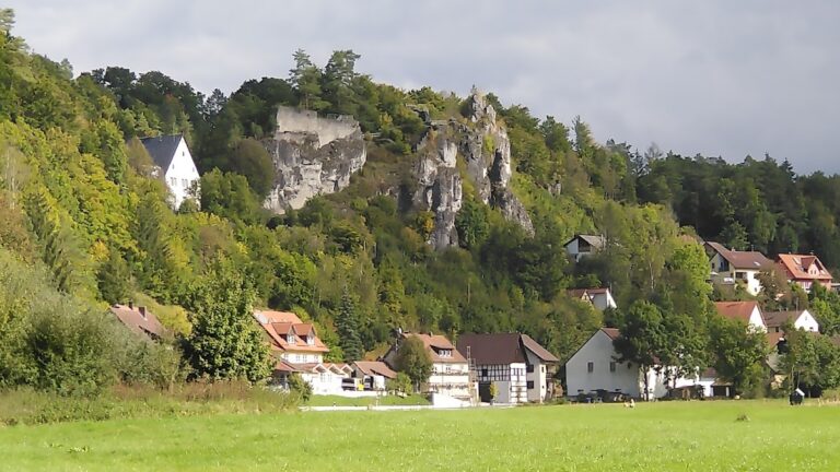
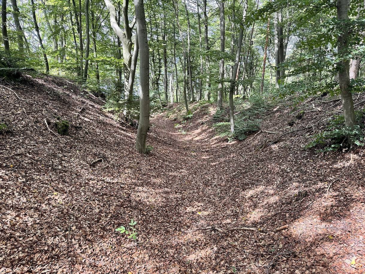
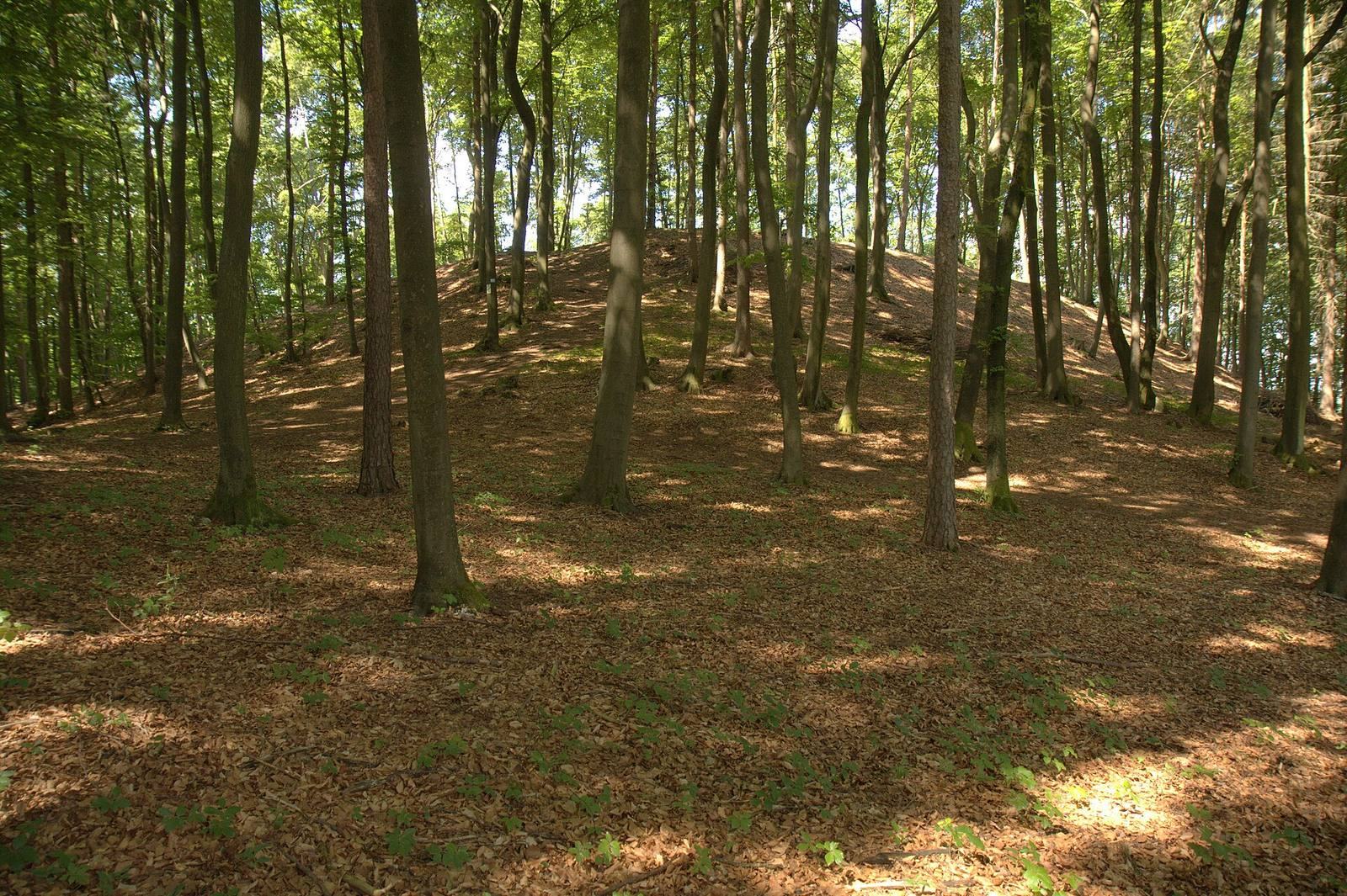
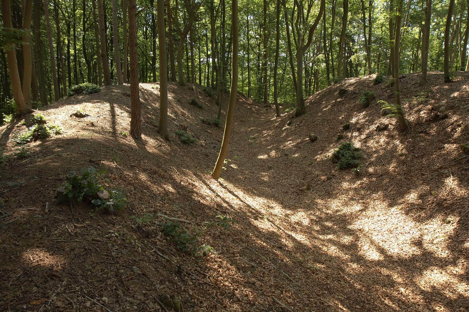
The castle occupied a roughly circular enclosure on a rocky spur, with earth defenses across its less sheltered approach and steep rock slopes on the other sides. Its principal surviving features are earthworks and marks cut into the rock; woodland now covers the site.
The castle site and Chapel of St Maurice
Enclosure and defenses
The site lies at 503 metres above sea level in southwestern Franconian Switzerland, a region of northern Bavaria within the Franconian Jura. The spur is north of Ortspitz, above two small valleys. Its north and east sides rise several metres above the surrounding upland before dropping about ten metres toward a saddle to the northeast; the other sides descend toward the Moritzbach valley, sometimes over steep or nearly vertical rock. The probably single-enclosure castle covered an area of about 35 by 30 metres. Its near-circular outline created a broad approach that may have made it difficult to defend against a prolonged assault.
A three-quarter-circle neck ditch, a defensive cut across a narrow approach, crosses the less protected north and east sides. It is about 15 metres wide and 3.5 metres deep from the enclosure. The raised bank outside it, formed from excavated earth, still stands about three metres high. Banks at either end, roughly two metres wide and half a metre high, may have been intended to block side access into the ditch. Its western end stops short of the valley drop; its southern end meets the slope in a low, terrace-shaped mound. The entrance was on the east, where a rock outcrop in the ditch may have supported a bridge. The raised bank is about half a metre lower at this point.
Rock-cut features
A hollow in the rocky ground may be the remains of a cistern, a water-storage tank, or an entrance to a cellar. Rock-cut steps and stonework were visible there in 1858. At the southwestern tip, four more steps descend to a lower rock niche, thought to mark the remains of a castle building.
Chapel remains
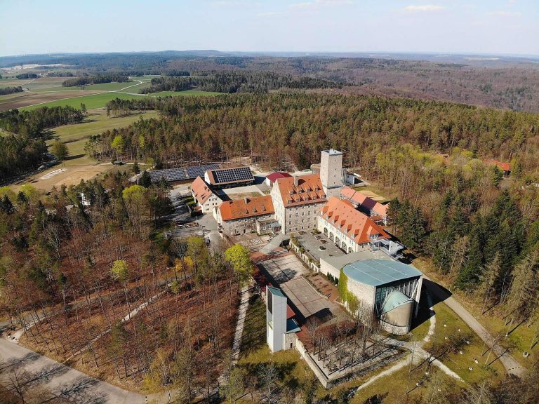
The nearby Chapel of St Maurice retains a choir dating to about 1400. After the chapel was destroyed, its other surviving structures were rebuilt in the 17th century. A fragment of an aristocratic epitaph, a memorial inscription, has also been found there.