Valovista Fortress: A Byzantine Stronghold in Greece
Site at a Glance
- Popularity
- Very Low
- Country
- Greece
- Primary era
- Medieval
- Eras represented
- Classical, Medieval
- Civilizations
- Ancient Greek, Byzantine
- Site type
- Military
- Remains
- Fort
On this page8 sections
History
Valovista Fortress is a Byzantine stronghold in Greece, built in the early 14th century by Emperor Andronikos III Palaiologos, who ruled from 1328 to 1341. From its hilltop position, it could control much of the Serres plain and Struma valley, along with approaches through Rupel Gorge toward Petrich and Melnik.
Early settlement and medieval town
Finds and tombs indicate that people lived in the area during the Hellenistic period, which followed Alexander the Great’s conquests and preceded Roman rule in the eastern Mediterranean, as well as in Roman and early Byzantine times. Byzantine refers to the medieval eastern Roman Empire. The settlement was probably abandoned between the 4th and 6th centuries, possibly amid invasions by Huns, Goths, Slavs, and other groups. Occupation in the Middle Byzantine period is unconfirmed, while resettlement in the late Byzantine period was likely connected in part with the fortress.
Valovista appears in a 1081 donation charter issued by Emperor Alexios I Komnenos for the Kosmidion monastery on Mount Athos. In 1106 or early 1107, Emperor John II Komnenos passed through the town on his way to Thessaloniki; his son and daughter were born there. In 1246, Emperor John III Doukas Vatatzes received notables from Melnik who sought to transfer the town to the Nicaean Empire, a Byzantine successor state centered on Nicaea after Constantinople fell during the Fourth Crusade.
The fortress and later settlement
Andronikos III built the fortress in the early 14th century. John VI Kantakouzenos, a Byzantine emperor and historian, also credited him with constructing a strongly walled fortress near Serres.
Seventeenth-century Ottoman travelers found the fortress abandoned. By then, a prosperous town had developed below the hill and across the river. Texts from the 17th to 19th centuries refer to the town as Demir Hisar, meaning Iron Fortress.
Remains
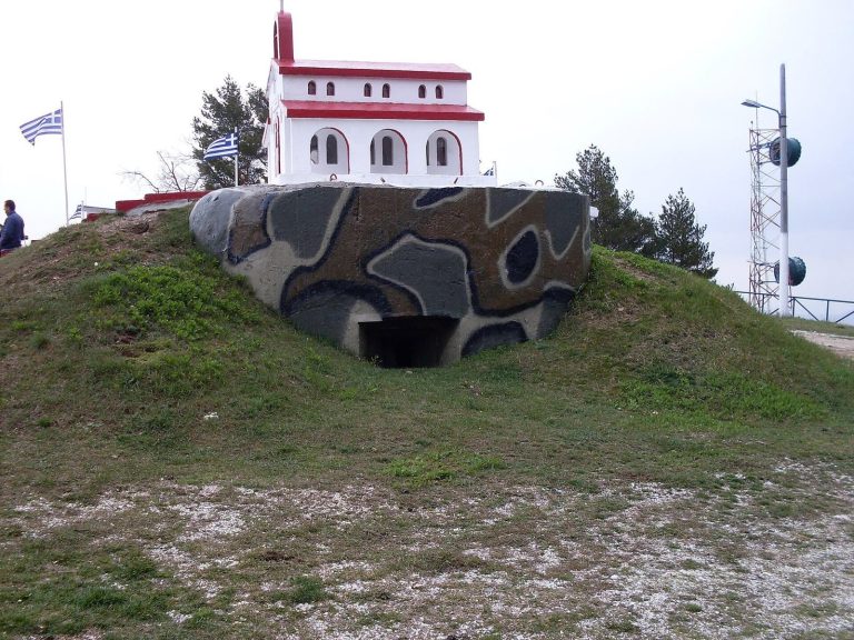
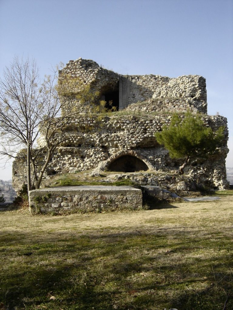
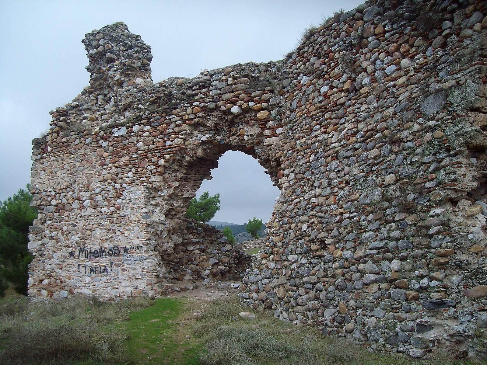
The fortress stands on a rocky hill east of Valovista, at an elevation of 155 m, with the Belitsa River at its foot. Its irregular enclosure follows the terrain and covers about 44 decares, or 44,000 square metres. The circuit extends for more than 1,100 m, enclosing inner and outer walls reinforced with round and square towers. Both identified entrances are on the south side.
Defensive circuit and water supply
Walls and entrances
The walls were built from river stones and bricks bonded with lime mortar. Traces of earlier buildings appear in their lower courses. On the eastern side, surviving sections rise as high as 8 m, though the original walls stood higher.
Cistern and tower
Near a gate inside the inner enclosure is a circular cistern, a tank for storing water, measuring 5.40 m deep and 4.05 to 4.20 m across. It held about 60 cubic metres. Thin bricks are incorporated into its stone walls, and successive layers of hydraulic mortar, which hardens in wet conditions, line the interior. The cistern lay at the base of a circular tower 9.5 m in diameter, of which traces survive.
Rock-cut tombs and church
Outside the fortress walls, a Hellenistic tomb cut into the rock has a temple-shaped front. Its chamber contains Byzantine frescoes and was adapted as the Church of St. Demetrius, named for an early Christian martyr especially venerated in Thessaloniki. Other rock-cut tombs are found in the surrounding area.