Elveriškė Hillfort: A Hillfort and Settlement Complex in Lithuania
Site at a Glance
- Popularity
- Very Low
- Country
- Lithuania
- Primary era
- Medieval
- Eras represented
- Classical, Medieval
- Civilizations
- Unclassified
- Site type
- Military
- Remains
- Fort
On this page4 sections
History
Elveriškė hillfort is a hillfort and settlement complex at Bagateliaus village in northwestern Lazdijai District Municipality, Lithuania. The complex is dated from the first millennium through the 13th century. Local people have also called the hill Eglynkalnis, a name referring to the spruce forest that once grew there.
The Institute of History surveyed the site in 1954 and 1962 on exploratory archaeological expeditions led by Lithuanian archaeologists Pranas Kulikauskas and Vytautas Daugudis. Its heritage status changed over time: it was designated an archaeological monument of republican significance in 1972, added to the Republic of Lithuania’s List of Historical and Cultural Monuments in 1992, and registered with the foothill settlement as an archaeological site in 1997. It was declared a cultural monument in 1998 and recognized as a state-protected cultural heritage complex in 2004.
Remains
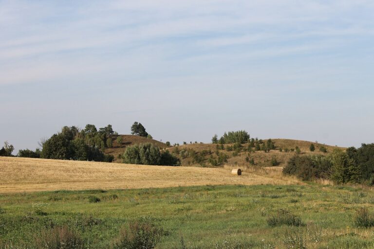
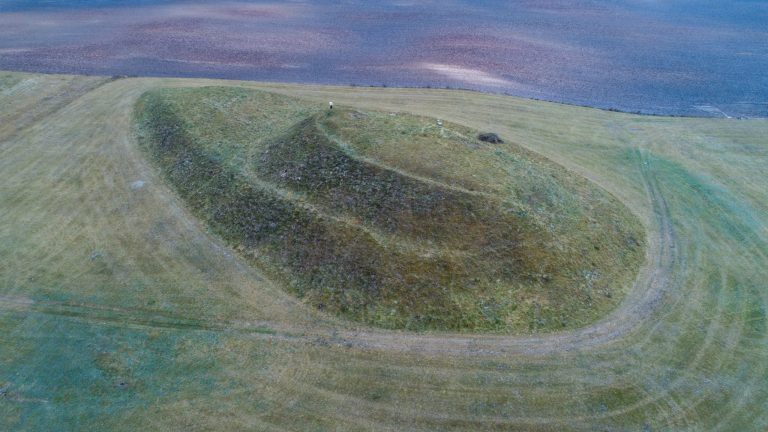
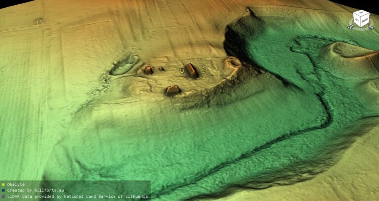
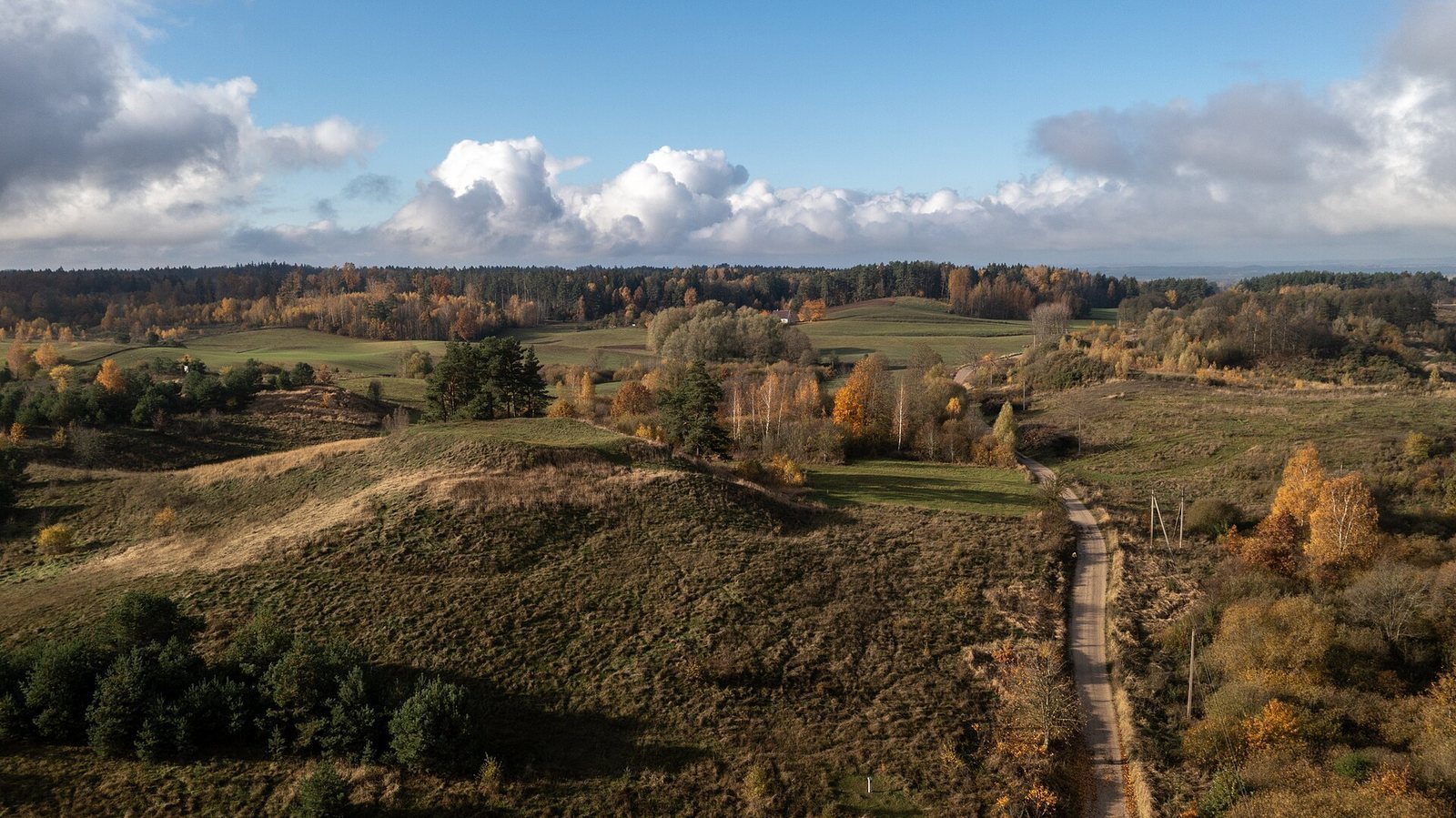
The complex occupies an irregular area elongated from east to west, measuring 228 m long and up to 166 m wide, with a total area of 2.66 ha. The hillfort stands on a separate hill in the western part. A formerly marshy hollow borders the hill to the north, west, and southwest, while the settlement remains lie on the lower eastern and southern slopes.
Hillfort
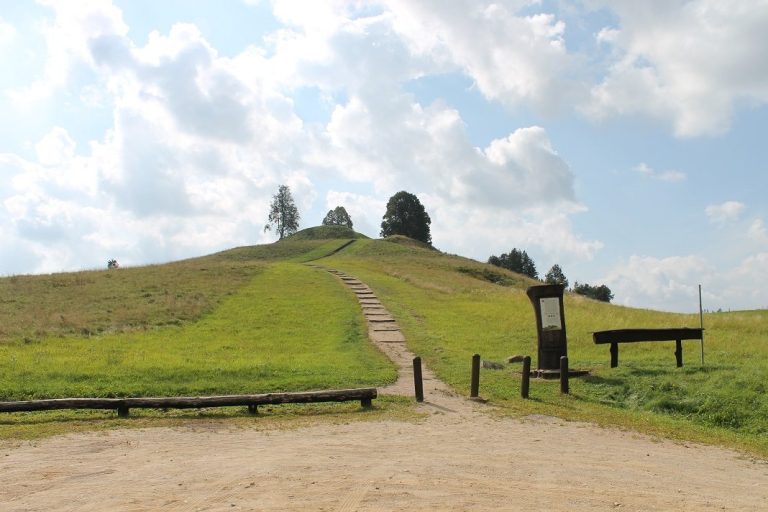
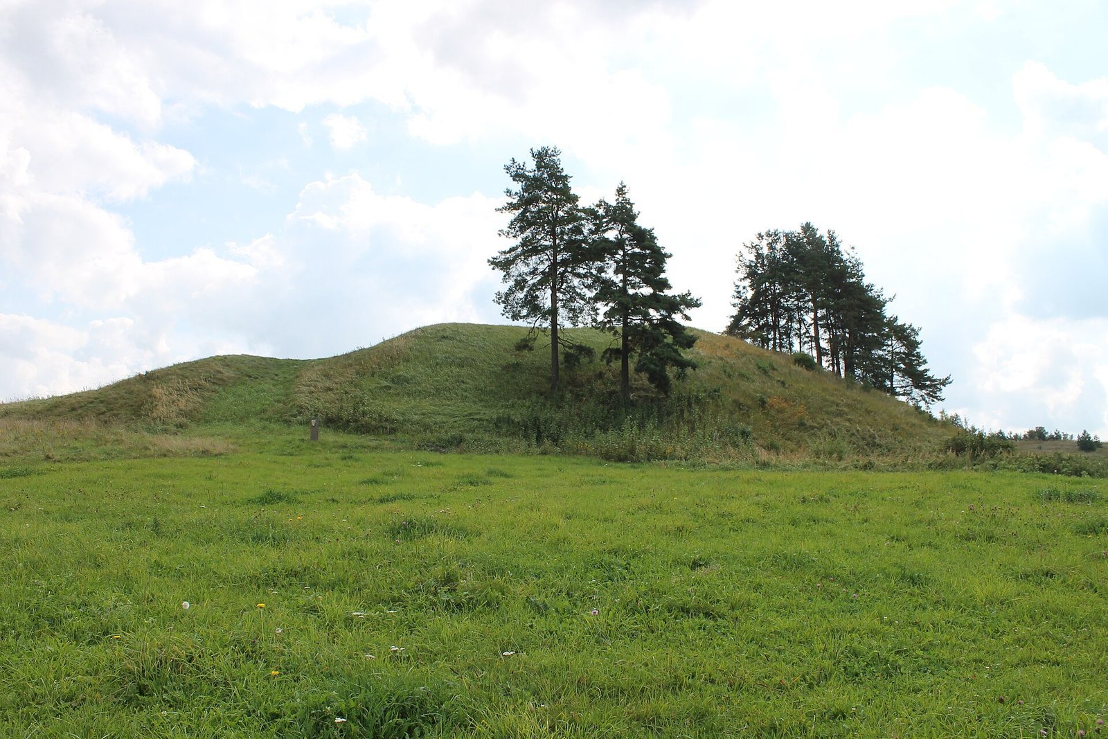
The hill has steep slopes, about 5 m high on the east and south and up to 12 m on the west and north. Its sunken, oval platform measures 16 by 9 m and runs northeast to southwest. An earthen defensive bank, or rampart, surrounds the platform. It reaches 1.5 m high and 12 m wide at the northeast and southwest ends, and 2.5 m high and 16 m wide on the east-southeast side; elsewhere it stands up to 0.5 m high. A terrace, 13 m wide, lies below the rampart on the south, east, and north. At its southwest end, a ditch and a smaller bank remain visible. Plowing has damaged the hillfort, and a pit was once dug into its southeastern part. The area now lies fallow, with spruces on the southwestern slope and an older-style archaeological monument marker at the southern foot. A thin, plow-damaged cultural layer, soil containing traces of past human activity, survives on the platform.
Foothill settlement and finds
The foothill settlement covered 0.5 ha on the hillfort’s eastern and southern lower slopes, and its land now lies fallow. Finds, particularly from the eastern slope, include handmade and wheel-thrown pottery, shaped on a potter’s wheel, as well as stones cracked by fire. These objects are held at the Lithuanian National Museum.