Nécropole des Près-de-l’Eau: A Bronze Age Burial Complex
Site at a Glance
- Popularity
- Very Low
- Country
- France
- Primary era
- Bronze Age
- Eras represented
- Bronze Age, Classical
- Civilizations
- Roman
- Site type
- Burial
- Remains
- Necropolis
On this page11 sections
History
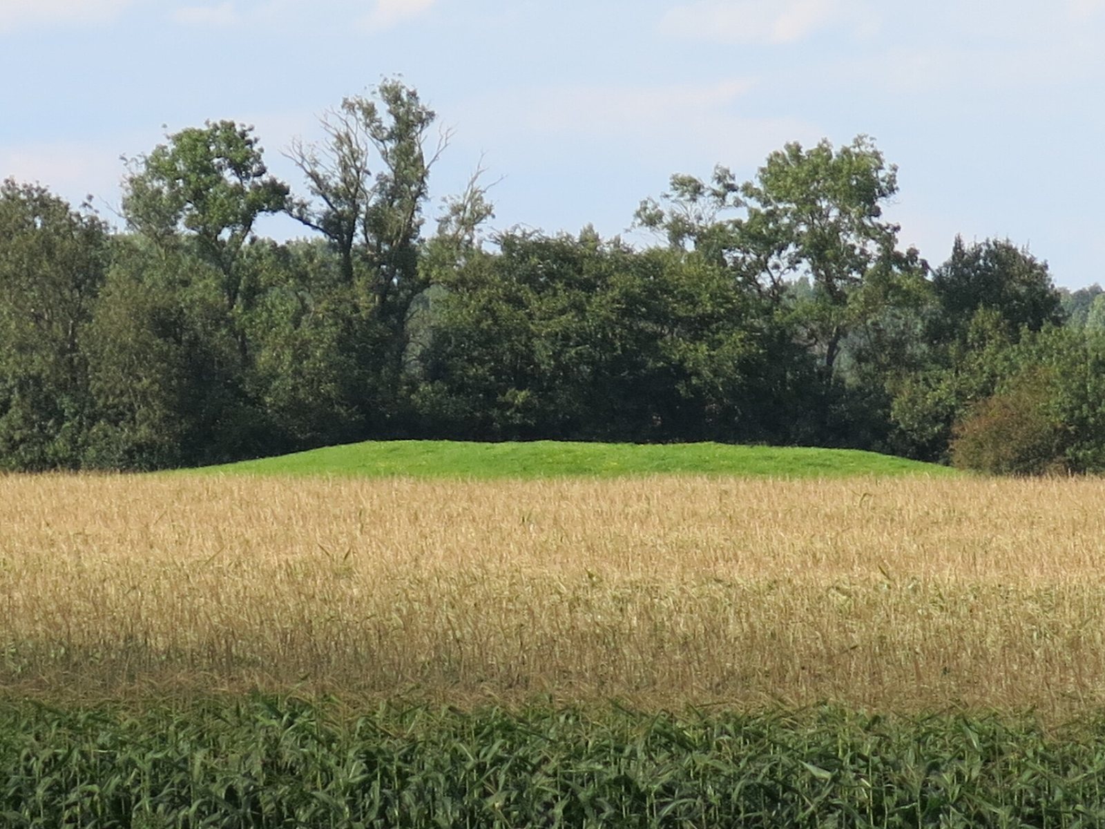
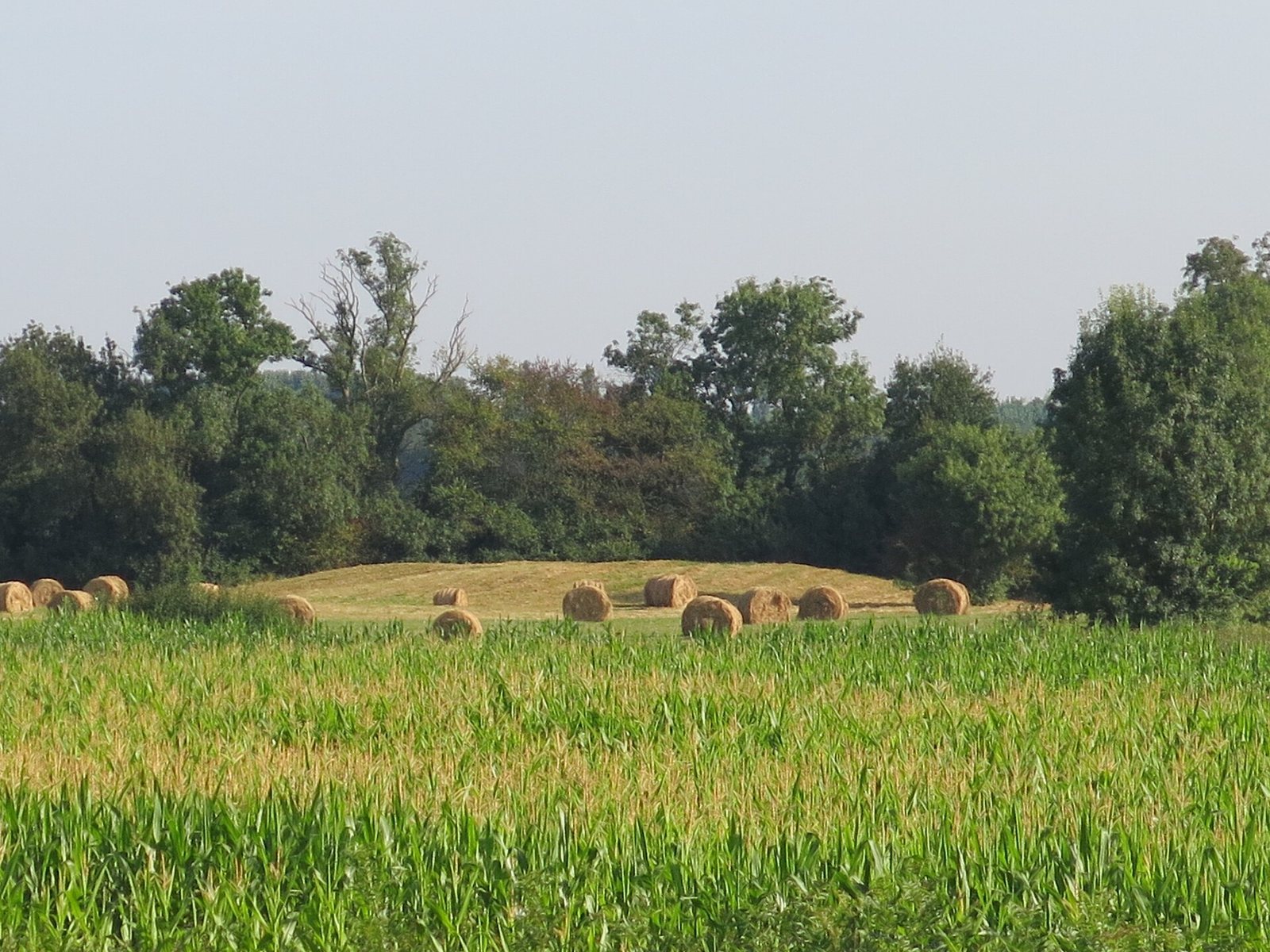
The Nécropole des Près-de-l’Eau is a burial complex at Lacrost, France. Its tumuli, artificial mounds raised over burials, date to around 800 BCE, in the Bronze Age, a prehistoric period. Vessel forms and decoration provide the basis for this dating.
Prehistoric and ancient activity
Flint tools from the Neolithic, or New Stone Age, and an arrowhead dated to around 2500 BCE point to human activity before the mounds were built. Later pottery and metal objects associated with Gaulish peoples and cultures show that activity continued after their construction.
Houses from the first and second centuries CE represent Gallo-Roman life, the Roman-period society and material culture of the region. Some stood over tumuli, apparently to keep the buildings above damp ground.
Investigation and preservation
The first investigations took place in 1879, when the Society of Friends of the Arts and Sciences of Tournus examined tumuli 1 and 2 under Jean Martin’s direction. A trench 3 to 3.5 metres wide was cut from the edge of each mound toward its centre. Recovered objects were deposited at the Greuze Museum in Tournus.
An order dated 4 May 1934 classified two tumuli as historic monuments. Flooding in 1962 led to the recording of 23 mounds. Ploughing and floods during the 1980s erased most of them; tumuli 1 and 2 are the only ones protected. Emergency excavations at tumuli 3 and 4 took place in 1986 and 1987. In 1989, investigators examined tumulus 35 in the north after ploughing damaged it and exposed objects.
Remains
Layout and construction
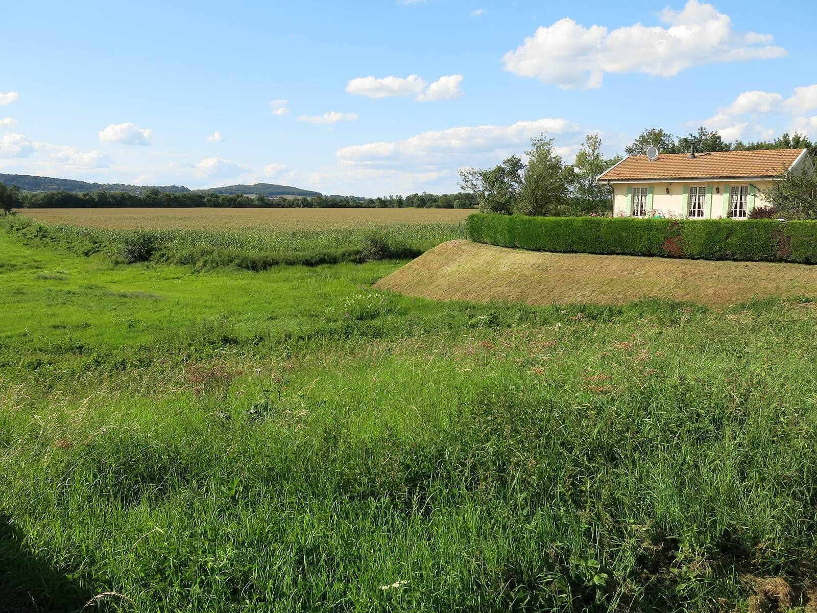
The necropolis covers about 15 hectares at Lacrost, roughly 700 metres from the Saône on its left bank. The Arvoux watercourse forms its eastern boundary. About 40 tumuli were arranged in three approximate north-to-south lines parallel to the river. Mounds are more numerous in the south and larger in the north. They range from 5 to 45 metres across and from a few centimetres to 1.8 metres high. Cultivation and flooding have made many no longer visible.
The mounds have four known forms: simple earth heaps, mounds with a clay core, those containing a buried circular band of slabs, and those with a buried circular wall. The ground beneath them had been cleared by fire before construction.
Excavated tumuli
Tumulus 1
This mound was made from earth gathered nearby. At its centre, excavators found an onion-shaped vessel about 15 centimetres across, containing a handful of cremated bones. An ox skeleton lay two metres from the centre; its presence may have been deliberate or accidental.
Tumulus 2
A circular wall of dry-stacked limestone slabs lies buried about nine metres from the mound’s centre. It is approximately 80 centimetres high and wide. At the centre, excavators found an urn about 20 centimetres across with a small offering vessel inside.
Tumulus 3
A belt of upright slabs, 19 metres in diameter, formed part of this mound. Its centre had been cut away to install a lime kiln, probably in the late Roman period. The kiln appears to have used limestone rubble from a nearby villa.
Tumulus 4
This mound contained two roughly made urns, each about 20 centimetres across and each holding an offering vessel. One also contained calcined bones, which have been altered by intense heat.
Tumulus 35
Objects from this mound include a barrel-shaped bracelet made of lignite, a soft, brown coal-like material, and a globular vessel about 5 centimetres across. Calcined human bones were also recovered.