Castra of Rückingen: A Roman Cohort Fort on the Upper Germanic-Raetian Limes
Site at a Glance
- Popularity
- Low
- Country
- Germany
- Primary era
- Classical
- Eras represented
- Classical
- Civilizations
- Roman
- Site type
- Military
- Remains
- Fort
On this page16 sections
History
The Castra of Rückingen was a Roman cohort fort beside the Kinzig, on the southeastern edge of the Wetterau in Germany. The Romans built it between AD 110 and 125, during the later years of Trajan’s reign or the early years of Hadrian’s, as the Upper Germanic-Raetian Limes, the Roman frontier system, advanced through the region.
Construction and garrison
Rückingen’s construction followed the frontier’s advance along the southeastern Wetterau. The end of the nearby Hanau-Salisberg fort sets the earliest possible date for the new fort, while two small forts at Hanau-Mittelbuchen provide further evidence of the frontier’s movement. Early pottery has also prompted a proposal for a smaller timber predecessor, though its existence remains uncertain.
The garrison was Cohors III Dalmatarum pia fidelis, an auxiliary infantry unit of about 500 men serving alongside Rome’s citizen legions. Raised in Dalmatia, it moved from the Roman army in Germania Inferior to Germania Superior, provinces along the empire’s German frontier, between AD 82 and 90. Before reaching Rückingen, the unit served at Wiesbaden, Rottweil, and Oberscheidenthal.
Fort and civilian settlement
Small vessels could navigate the Kinzig, which may have influenced the fort’s location. Transport along the Kinzig and Main offered a potentially more efficient way to supply much of the Wetterau frontier than overland travel. A civilian settlement, or vicus, grew near the fort. Craftspeople, innkeepers, and soldiers’ relatives lived there. The cohort probably had a brickworks in the settlement, and a shrine to Mithras, a deity worshipped in a Roman mystery cult, may also have stood there.
Abandonment and later settlement
The cohort remained at Rückingen until Rome abandoned the Limes around AD 260. Amid the upheavals of the third century, the fort and civilian settlement were abandoned or destroyed. Medieval Rückingen, first mentioned in 1173, developed farther east, while the fort area remained uninhabited until the twentieth century.
Investigation and protection
Investigations of the bath between 1802 and 1804 correctly identified it as a Roman building. Albert Duncker and Reinhard Suchier examined cemeteries west of the fort in 1872. In 1883, work led by the Hanau Historical Association brought the stone fort and its internal buildings to wider archaeological attention. The Imperial Limes Commission, a scholarly body that investigated the Roman frontier, incorporated the results in its 1913 account; an investigation in 1969 confirmed earlier findings.
The fort forms part of the Upper Germanic-Raetian Limes, a UNESCO World Heritage property since 2005, and is protected as an archaeological monument under Hessian law.
Remains
The site comprised a rectangular stone fort, a bath to its south, and a civilian settlement to the north and west. The Kinzig and its wetlands shaped the surrounding landscape, while the Limes ran east of the fort. The remains include elements of the frontier route and towers as well as the fort’s cemeteries.
Fortifications and buildings
Enclosure
The fort covered about 2.5 hectares and measured approximately 140 by 180 metres. Its outer walls were 1.5 metres thick, and two encircling V-shaped ditches, each about 7 metres wide and 1.5 metres deep, defended the enclosure. Their shallow depth may reflect the high water table near the Kinzig. The Limes ran about 350 metres to the east, approximately north to south, and the fort’s main gate faced east-northeast toward it. Leipziger Straße and Römerstraße curve slightly around the fort’s western side, perhaps following the line of walls that remained visible for a time. A former federal-road section may follow a Roman road leading toward the western gate.
Interior buildings
Excavations exposed only part of the interior, where much of the construction was probably timber-framed. At the centre stood a stone headquarters building. The excavated standards shrine, where the unit’s military standards were kept, had a rounded apse, a semicircular recess at one end. Numerous bricks, many stamped with the cohort’s mark, were found near the gate towers.
Bath
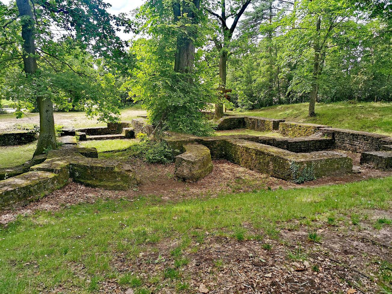
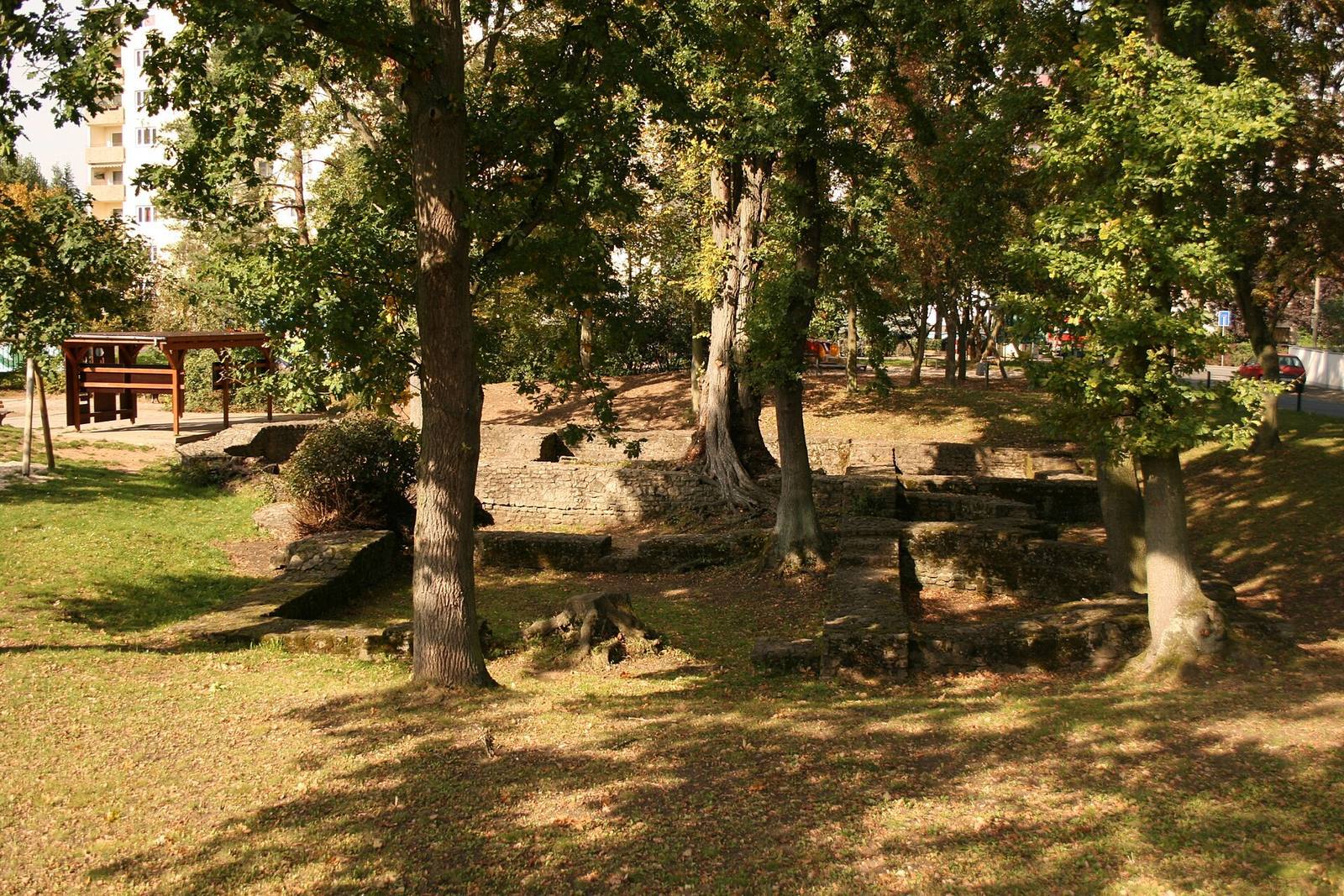
The bath lay south of the fort, toward the Kinzig. Its excavated foundations, most of them reconstructed, are incorporated into a playground. The building was about 33 metres long and followed a linear plan, with rooms arranged in a row along a lengthwise axis according to their use. Water basins generally occupied rounded apses.
Settlement and cemeteries
Civilian settlement
The settlement occupied ground north and west of the fort, along the principal roads leading west. These roads probably connected Rückingen with the settlements at Hanau-Salisberg and Heldenbergen. A Roman well stood near the edge of present-day Hainstraße. Its fill contained a cult image of Mithras and other stone monuments, finds that support the possibility of a shrine in the settlement.
Cemeteries and finds
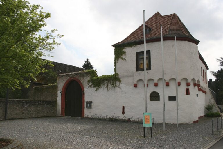
The cemeteries lay west of the fort, on both sides of Leipziger Straße. One was almost completely excavated between 1951 and 1962, yielding 325 burials. Most excavation finds passed through the Hanau Historical Association to the Museum Schloss Steinheim, where the Mithras image is held. Some other finds, chiefly pottery, are displayed in the local history museum in the water castle.
Limes route and towers
River crossing and wetland route
Oak stumps from a Roman bridge found in 1883 mark a crossing of the Kinzig parallel to the Limes, where the associated patrol route crossed the river. Along the frontier south of the river, remains survive in short stretches in woodland and as slight traces in meadows. More substantial sections lie south of the Hanauer Kreuz beside the A45, especially south of Doppelbiersumpf. A corduroy road, made from logs laid across wet ground, crossed the swamp. A woven-branch fence later replaced the palisade in front of it.
Frontier towers
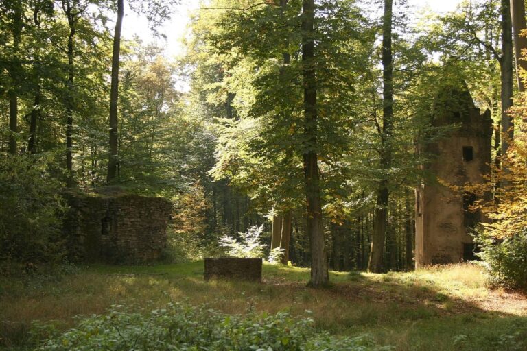
A square stone tower on this stretch had a foundation measuring 5.5 metres on each side, with foundation walls about 1 metre thick. Its upper walls were built of mortared limestone. A square timber tower measured 6 metres on each side. Drainage ditches surrounded the mounds of both towers.