Hillfort Valėnai: A Fortified Site in Lithuania
Site at a Glance
- Popularity
- Very Low
- Country
- Lithuania
- Primary era
- Classical
- Eras represented
- Classical
- Civilizations
- Unclassified
- Site type
- Military
- Remains
- Fort
On this page7 sections
History
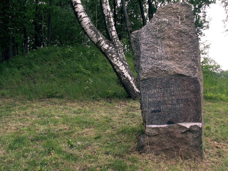
Hillfort Valėnai is a fortified hilltop site in the western part of Valėnai, Lithuania, near the southwestern edge of Kretinga District Municipality. A legend links it to Armon’s castle, portraying Armon as a Gothic king and the legendary founder of Kretinga. The story places the castle’s construction in the first half of the first millennium. The Goths were an East Germanic people prominent in late antiquity and the early Middle Ages.
Possible Sarčiai identification
In 1963, after failing to locate a hillfort at Sarčiai, German archaeologists proposed that Valėnai might be the place they had called the Sarčiai (Cartai) hillfort. Sarčiai village lies 2 km south of Valėnai, with Kėkštai and Vitiniai between them.
Surveys and protection
The Institute of History of the Lithuanian Academy of Sciences surveyed the hillfort in 1963 and 1966. Further surveys followed in 1982, 1984, 1992, 2002 and 2013. Valėnai was designated an archaeological monument of republican significance in 1972, recognized as a cultural property of Lithuania in 1992, entered in the Register of Immovable Cultural Properties among archaeological sites in 1997, declared a cultural monument in 1998, and placed under state protection in 2004.
Remains
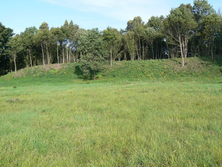
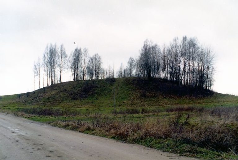
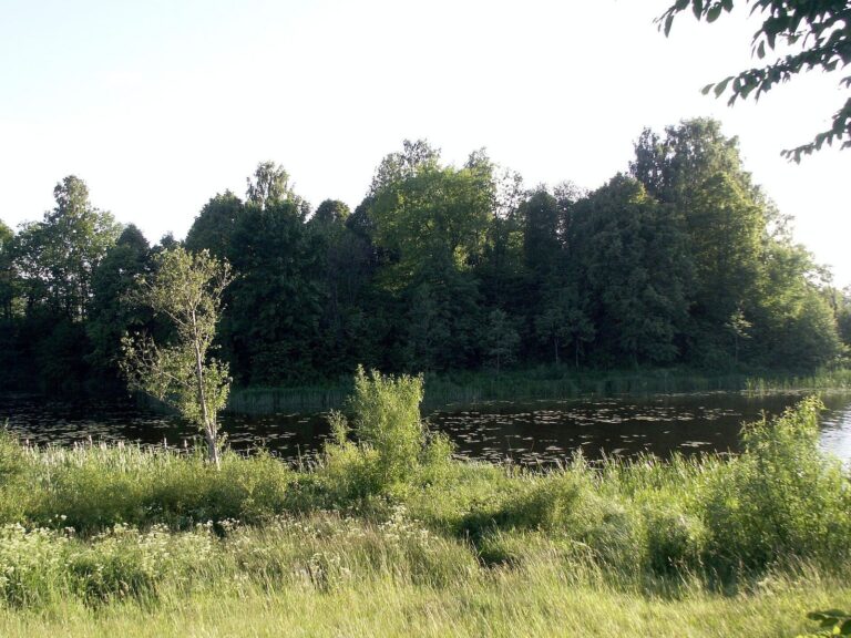
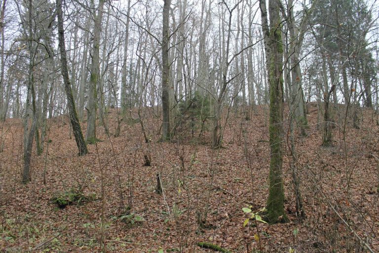
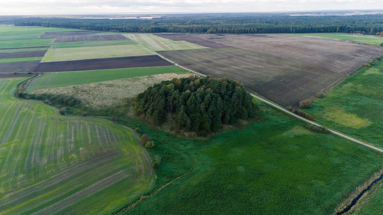
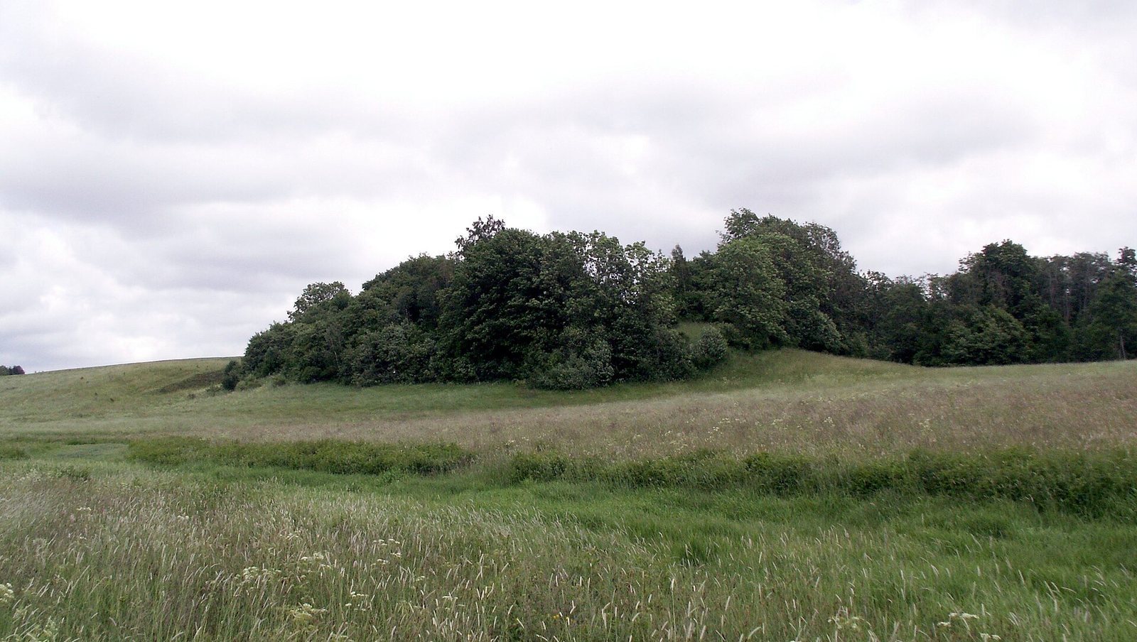
The wooded hillfort occupies an upland spur above the Dangė valley. Its quadrangular summit and raised center are separated from higher ground to the east and northeast by a curved rampart, with a former ditch along the rampart’s outer base. The site covers 1.3992 hectares.
Landform and summit
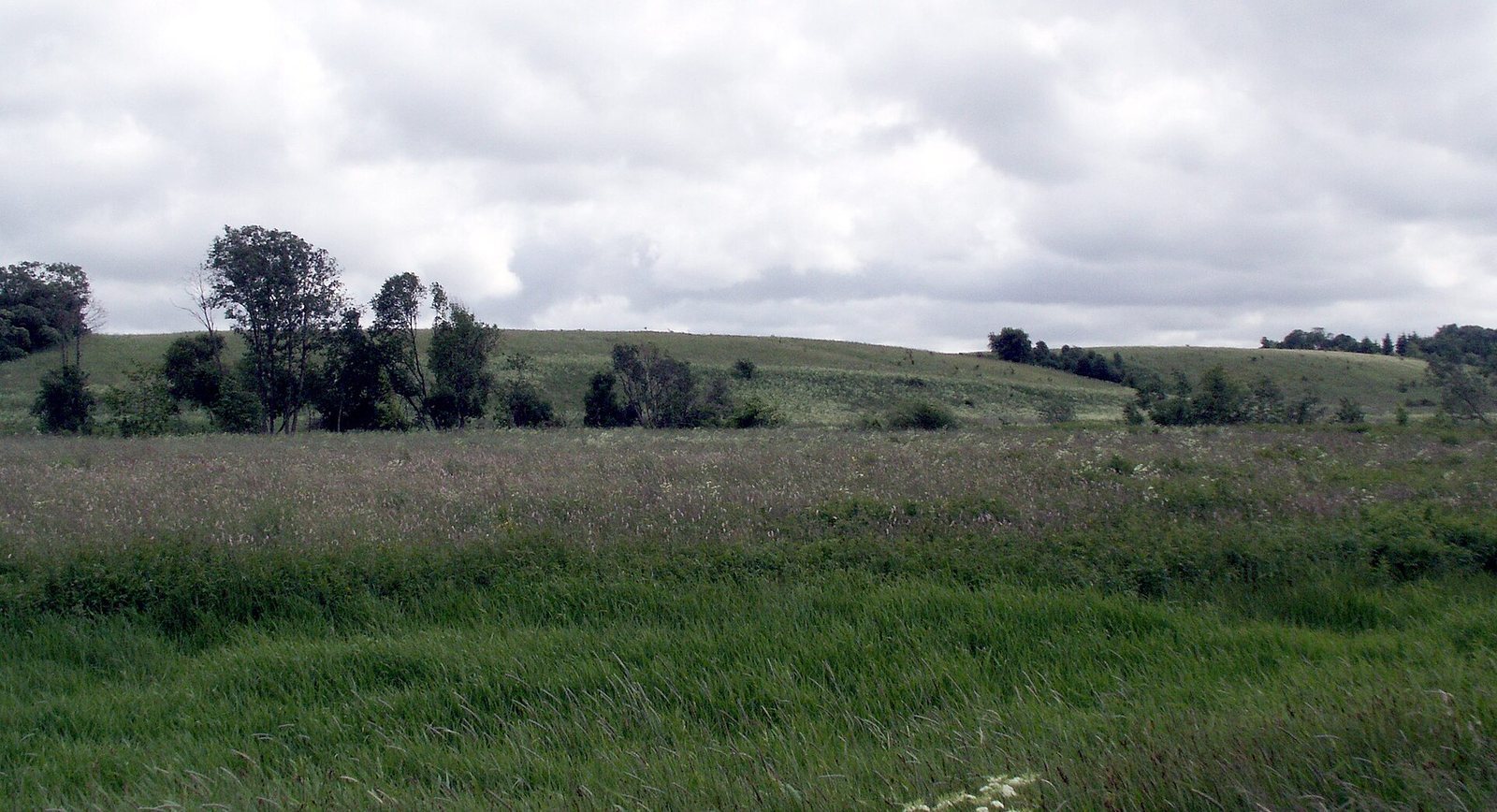
The spur stands on the Babrūnė’s right bank, projecting into the Dangė valley about 200 m east of the rivers’ confluence. The steep southern slope drops 14 m toward the Babrūnė valley; the gentler western slope falls 12 m toward the broad Dangė valley. The summit runs northeast to southwest, measuring about 70 m long and up to 40 m wide. Its surface descends toward the southwestern end, which is 2 m lower than the eastern part.
Rampart and settlement area
The semicircular rampart is 45–48 m long, 8 m wide and 1.5 m high. A settlement area lay to its east and northeast. A ridge beside the Dangė lies between Valėnai and Ėgliškės (Anduliai) hillfort, 0.55 km to the northeast; that hillfort has an outwork, a subsidiary defensive area beyond the main enclosure.
Archaeological traces
Finds from the settlement area east of the hillfort include fragments of burnt clay building material and iron slag. In 1984, large charcoal pieces and small fragments of burnt clay from within the hillfort pointed to former wooden structures. A field to the east-northeast yielded ploughed-up hearth remains, including burnt stones, charred material and small pieces of charcoal. Local residents also reported that ploughing on the summit brought charcoal to the surface.