Kerlescan Alignments: A Neolithic Megalithic Complex at Carnac
Site at a Glance
- Popularity
- Medium
- Country
- France
- Primary era
- Stone Age
- Eras represented
- Stone Age
- Civilizations
- Unclassified
- Site type
- Civic
- Remains
- Megalithic Monument
On this page7 sections
History
The Kerlescan alignments are a Neolithic megalithic complex at Carnac in Brittany, France. They date to the later Stone Age, a period associated with farming communities and polished stone tools, and form part of the wider Carnac megalithic complex.
A prehistoric complex
The rows connect the Kerlescan complex with the Manio complex, about 500 m to the southwest, and Petit-Ménec, about 450 m to the east. The Kerlescan rows and Petit-Ménec may once have belonged to one continuous complex. Villages and roads later divided them.
Protection and modern investigation
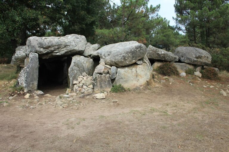
France added the rows to its historic-monument list in 1889, together with a nearby dolmen, a megalithic tomb, less than 200 m to the north. The western enclosure received separate historic-monument classification by decree on September 11, 1929. Zacharie Le Rouzic, a French archaeologist known for studying Brittany’s megalithic monuments, restored the site in 1934–1935.
During the German occupation of Brittany in World War II, a German archaeological team surveyed and excavated the enclosure, the rows, and a long barrow that was not made of megaliths. The team worked under the protection of the Wehrmacht, Nazi Germany’s armed forces. The work involved French prisoners of war, Organization Todt workers, Breton students, and volunteer German soldiers. A multi-year research project is examining the circumstances of these excavations.
Remains
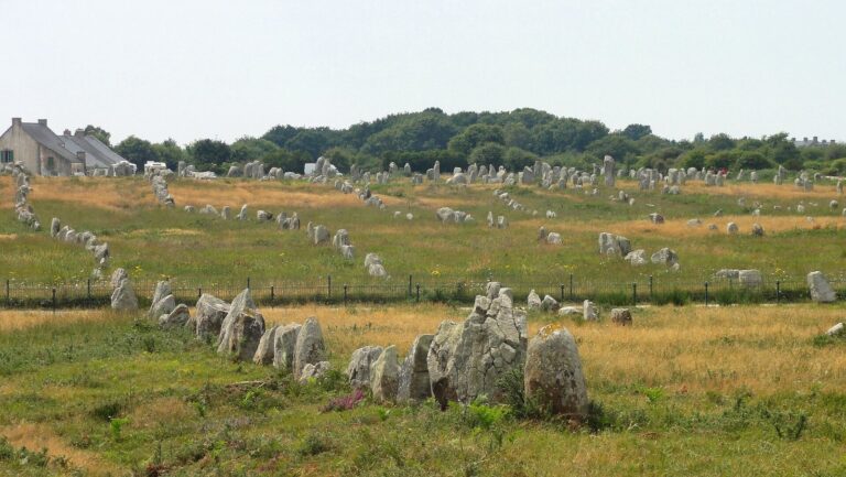
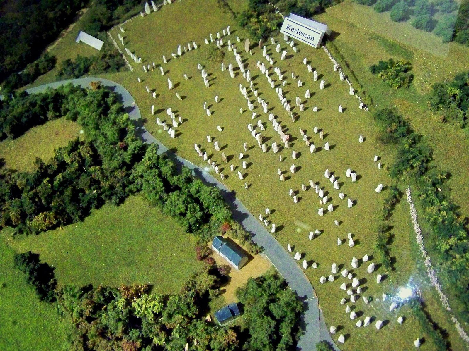
The complex pairs a rectangular enclosure at its western end with 13 rows of standing stones that extend east for about 350 m. The stones are made of fine-grained granite from the local area.
The western enclosure
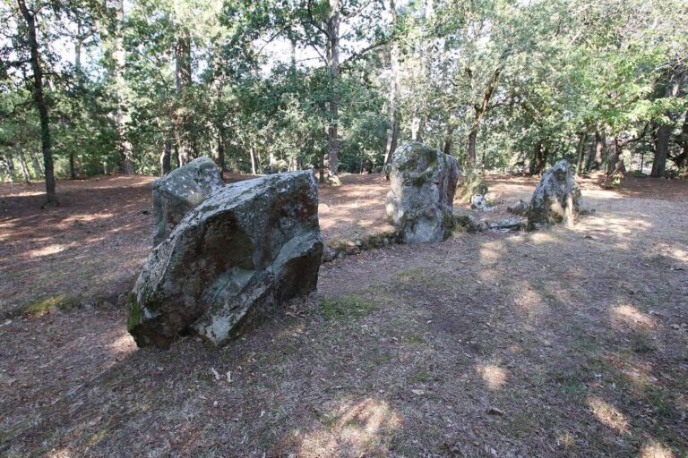
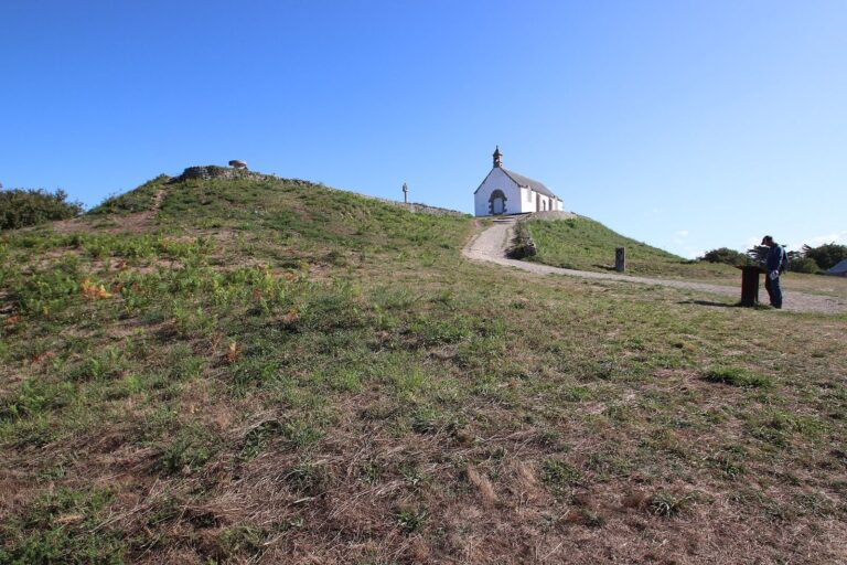
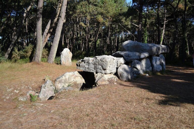
The enclosure measures about 80 by 90 m and is bounded by 39 menhirs, or upright standing stones. Its southern and western sides are incomplete and curve slightly. The northern side has no stones and is closed by the Kerlescan tumulus, a burial mound. The eastern side is nearly straight and almost complete, with about twenty blocks that nearly touch in places. This side has been restored.
The stone rows
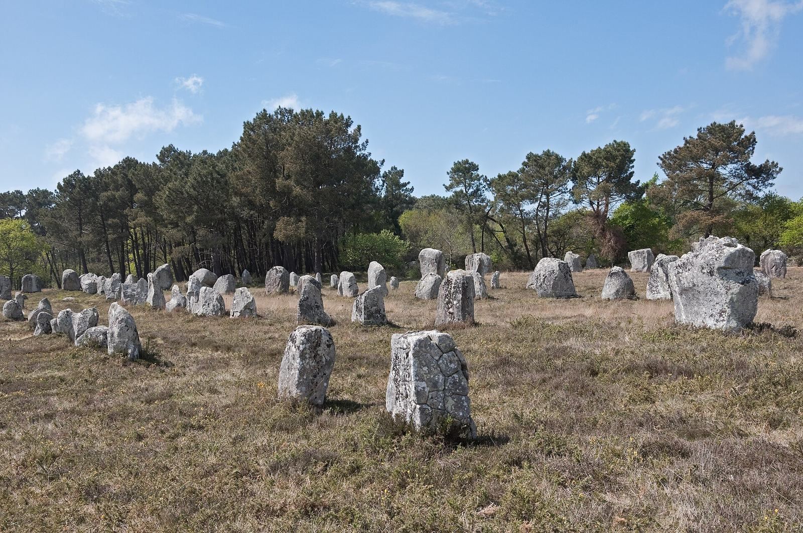
The rows run broadly from east-southeast to west-northwest. At their western end, they span about 140 m; moving east, they narrow and the number of rows falls. Nine rows remain across about 70 m, 200 m from the western end. The rows do not run parallel: those to the north are roughly aligned with one another, while two close, particularly regular rows form an avenue-like line toward the enclosure’s northeastern corner. The southern rows draw together toward the east.
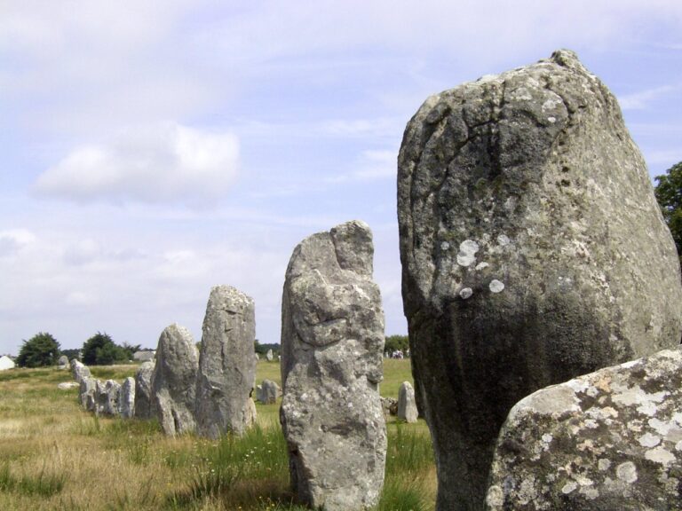
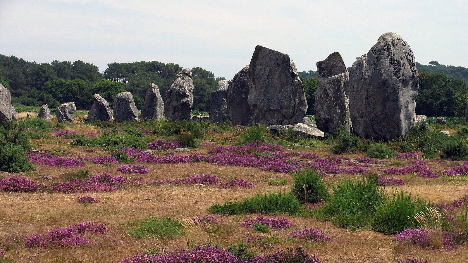
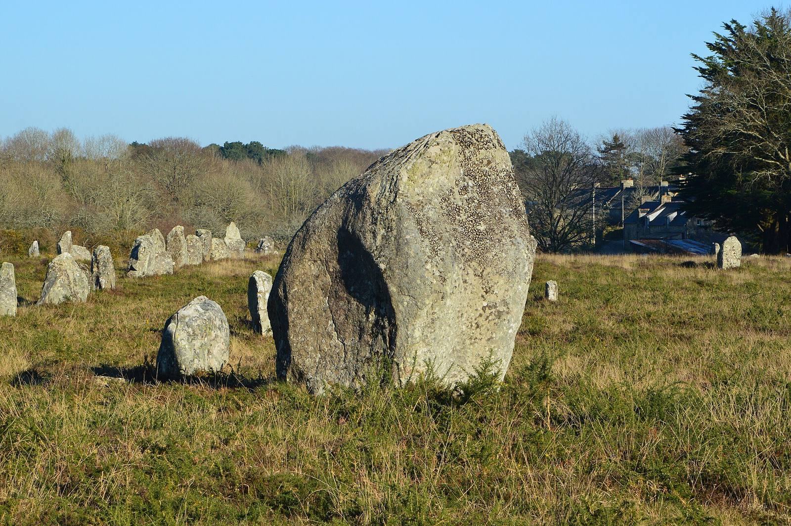
Most of the stones stand 1–2 m high, with the tallest reaching 3.5 m. Many are flat, and more than a third have two parallel faces more than twice as wide as the stones are thick, a shape associated with the local rock deposit. The tallest stones stand near the enclosure; average height declines eastward to less than 1 m at the far end. The ground rises by 6–7 m from east to west, so the rows ascend toward the enclosure when viewed from the eastern end.
The surroundings are the best-preserved among the Carnac alignments, although some stones are missing. Weathering on the sides of some stones resembles erosion on exposed tops, indicating that their restoration did not preserve their original condition satisfactorily. Le Rouzic counted 540 stones; later counts give fewer than 300.
Surface finds
Objects collected from the surface include several polished axes, a few arrowheads with tangs and barbs, and numerous flint flakes.