Tiscali: A Nuragic Settlement in Sardinia
Site at a Glance
- Popularity
- High
- Country
- Italy
- Primary era
- Bronze Age
- Eras represented
- Bronze Age, Iron Age
- Civilizations
- Nuragic
- Site type
- Domestic
- Remains
- House
On this page8 sections
History
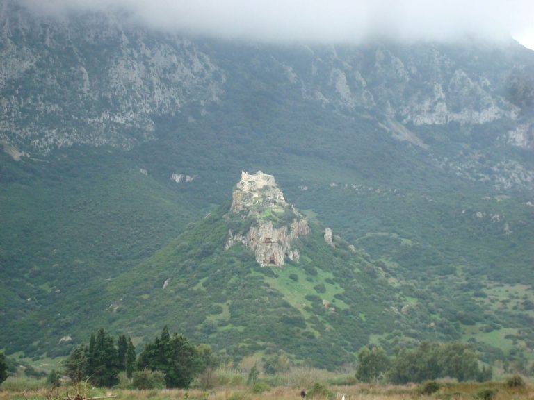
Tiscali is an ancient settlement on Mount Tiscali, in the territories of Dorgali and Oliena in Sardinia, Italy. It was established during the Nuragic period, a prehistoric Sardinian culture known for its tower-like stone nuraghi, broadly from the fifteenth or fourteenth century BCE to the ninth or eighth century BCE.
Nuragic settlement
The place may have been used before the Nuragic period, during pre-Nuragic times. One proposed explanation for the mountain location is that families left the valley after conflicts with neighboring groups and sought refuge there. Life at Tiscali was difficult: water was scarce, and farming and raising livestock were challenging.
Roman reoccupation
After an apparent abandonment, the settlement was occupied and renovated again during the Roman period, in the second or first century BCE. It then served as a residential settlement.
Study and protection
Ettore Pais visited Tiscali in 1910, when the village remained in excellent condition. Antonio Taramelli described and photographed it in 1927. Over time, neglect and looting caused substantial damage. A recovery and protection project began in 1995, carried out by the Dorgali cooperative Ghivine in agreement with the municipality and the archaeological heritage authority. Archaeologist Susanna Massetti led an excavation in 1999 on behalf of that authority. In 2005, Fabrizio Delussu of the Archaeological Museum of Dorgali made a preliminary study of the finds, leading him to propose a new interpretation of the site.
Remains
Settlement layout
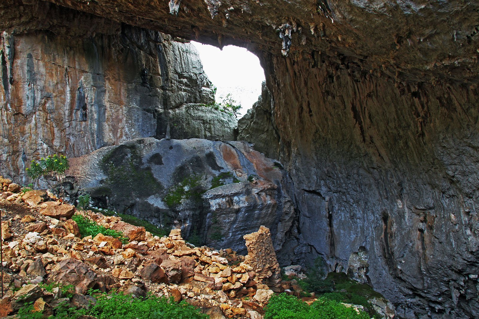
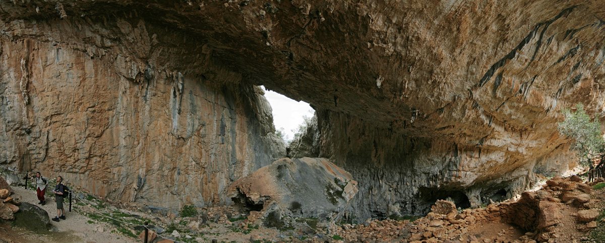
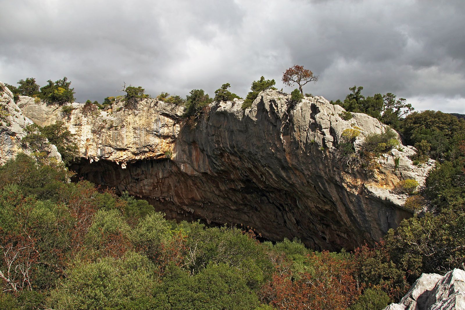
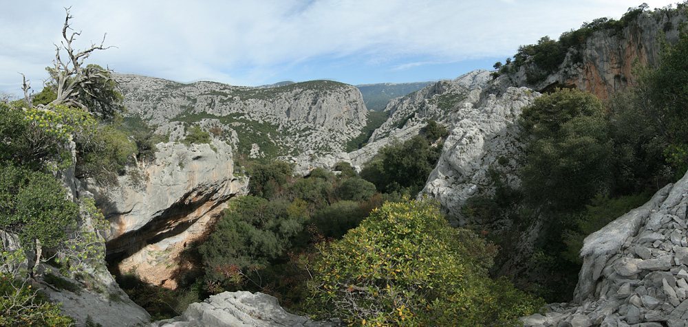
The settlement covers about 5,000 square metres within a large, funnel-shaped hollow at the 518-metre summit of Mount Tiscali, between the Supramonte areas of Dorgali and Oliena. Around 90 percent of the site lies in Dorgali and 10 percent in Oliena. The huts follow the hollow’s rock walls. The depression may once have been a cave whose roof collapsed, after which vegetation grew inside. The surrounding limestone is about 160 to 180 million years old; the long-term shaping of this landscape formed caves, gorges, chasms and springs. A broad opening in the rock wall looks out over the Lanaittu valley. A grove of very old trees within the hollow includes terebinth, holm oak, Phillyrea, mastic, fig, maple and ash.
Northern group
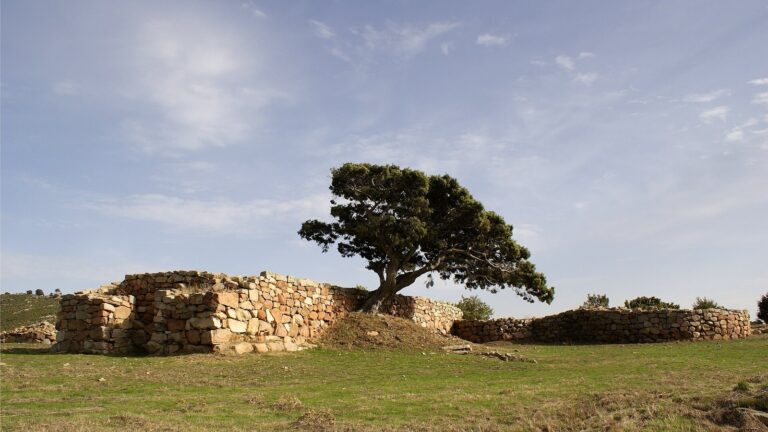
Near the entrance, the northern group contains about forty huts. Some are round, while most are square or rectangular. Their walls are a single course of irregular stones set in mud, a construction method unique in Sardinia. The entrances are wide, with terebinth-wood beams above them. Roofs were made from plant materials, including juniper trunks and branches.
Southwestern group
The southwestern group has about thirty huts, all rectangular and somewhat smaller than those in the northern cluster. They may have been used to store provisions or shelter domestic animals rather than as family dwellings. Their roofs, too, were made from plant materials.