Rösaringsåsen: A Processional Road and Burial Landscape in Sweden
Site at a Glance
- Popularity
- Medium
- Country
- Sweden
- Primary era
- Medieval
- Eras represented
- Bronze Age, Iron Age, Medieval
- Civilizations
- Unclassified
- Site type
- Burial
- Remains
- Necropolis
On this page8 sections
History
Rösaringsåsen is an archaeological landscape on a gravel ridge in Sweden, where a processional road dates to around AD 800, though it may be considerably older. The site may have formed part of a pre-Christian ritual place. Its elevated position, visible across Lake Mälaren, may have influenced the choice of location.
Processional and funerary use
The road’s alignment suggests it may have been planned with the summer solstice in mind and used for special ceremonies. The road and a building at its northern beginning were probably connected with the funeral of an important person. A procession may have travelled south toward a funeral pyre at the road’s end, where the largest burial mound now stands. The building may have served as a place where the deceased lay before the funeral.
Labyrinth and later stewardship
The labyrinth known as Rösaring was noted in 1670, when a windmill stood beside it. The area was then called Röra Backe, using rör, the Swedish word for a stone cairn; in the 18th century its name was Röraring. Labyrinths were thought to have magical significance, a belief that informs the possibility that Rösaring was part of a ritual site. The labyrinth was restored in 1991. Rösaringsåsen Nature Reserve was established in 2015 to protect the area’s natural and geoscientific values as well as its cultural heritage.
Remains
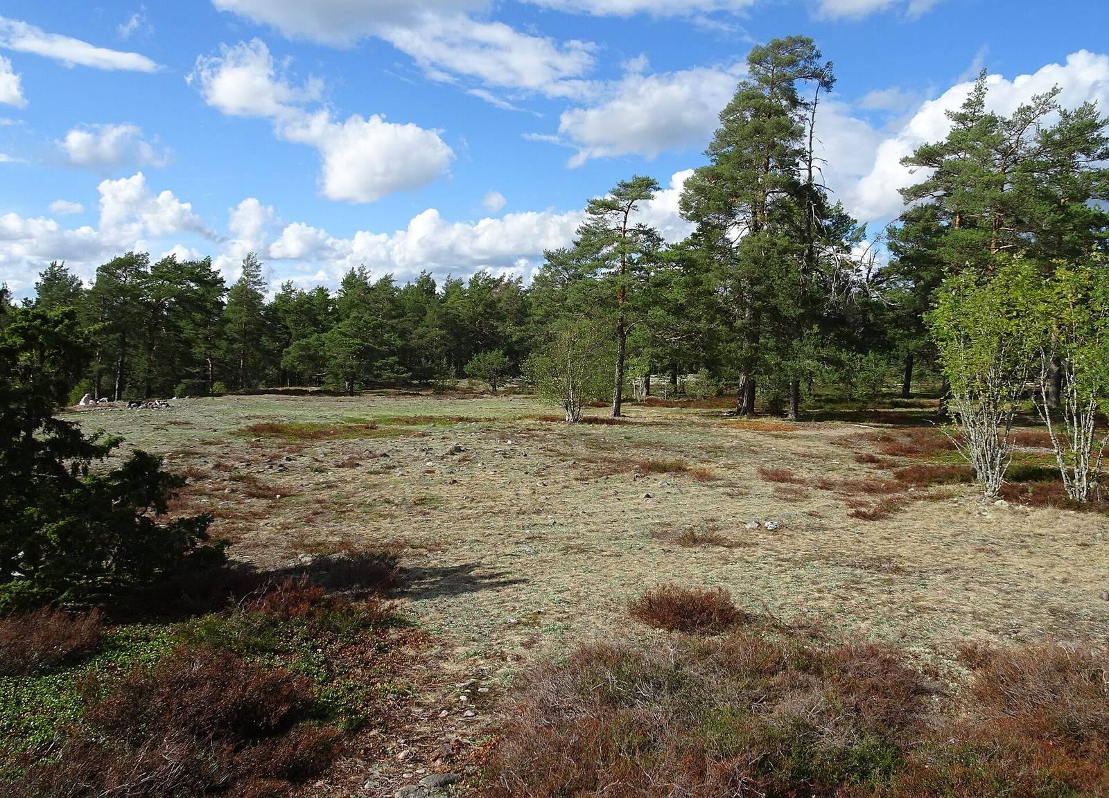
The archaeological remains occupy the crest of a gravel ridge, with a long road running south toward a burial ground and a labyrinth west of that ground. A foundation lies at the road’s northern beginning. The ridge forms part of the Uppsala esker, a long deposit of sand and gravel laid down by meltwater beneath or within a glacier, and is less than a kilometre west of Låssa Church.
Ridge and surrounding landscape
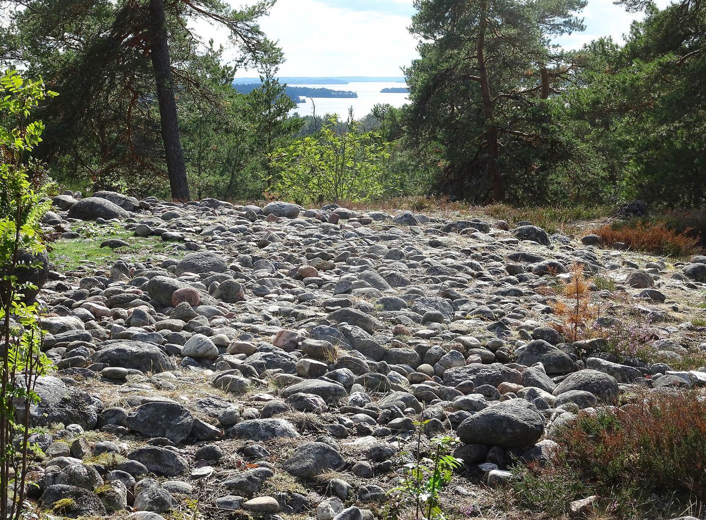
The ridge falls steeply to the south. Its highest point is 61 metres above sea level and offers a broad view over Lake Mälaren. It was the first substantial area in the municipality to emerge from the sea, about 6,000 years ago. Below the ridge, Sanda burial ground contains about 70 graves, while Tibble burial ground has around 140 visible graves. Traces of Bronze Age settlements also lie below the ridge, where the lake shore was about 20 metres above its present level.
Processional road and northern building
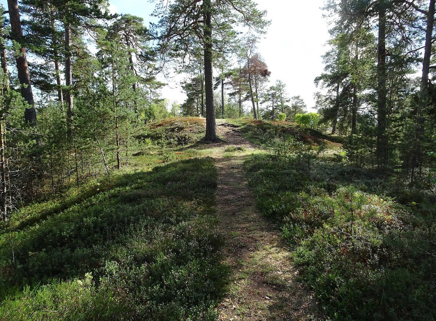
The road is 540 metres long, almost straight and just over three metres wide. Rounded stones partly line its edges, and the original surface was made of gravel topped with clay and fine silt. Shallow pits follow its eastern side for the full length; they may have held painted posts bearing wooden figures or fire pans for ceremonial fires. Ditches run along the western side. At its northern beginning, the building foundation remains.
Burial ground
Immediately east of the ridge’s highest point, at the road’s southern end, are two burial mounds, two stone cairns and three lower graves. The cairns are built from fieldstones, while turf and vegetation cover the mounds. The cairns probably date to the Bronze Age, the archaeological period when bronze became characteristic of toolmaking. The lower graves, formed as stone settings (low grave structures made from arranged stones), probably belong to the Iron Age, especially the Viking Age, its later Scandinavian phase. The largest mound was built over the road.
Rösaring labyrinth
The labyrinth measures 17 metres across and has 16 passages. Its position west of the burial ground and its form contribute to the interpretation of the area as a possible ritual site.