Woodhenge: A Neolithic Henge and Timber Circle in Wiltshire
Site at a Glance
- Popularity
- Very High
- Country
- United Kingdom
- Primary era
- Bronze Age
- Eras represented
- Bronze Age
- Civilizations
- Unclassified
- Site type
- Religious
- Remains
- Sanctuary
On this page13 sections
History
Woodhenge is a Neolithic timber-circle monument within a henge, a prehistoric enclosure formed by a ditch and bank, in Wiltshire, England. It lies about 3.2 km northeast of Stonehenge and just north of Amesbury. The ditch dates to about 2470–2000 BCE, around the time of Stonehenge’s stone circle or slightly later, while the timber monument is thought to predate the ditch. Radiocarbon dating indicates that Woodhenge remained in use around 1800 BCE.
Origins and excavation
Pottery recovered by Ben and Maud Cunnington during their late-1920s excavations led to a probable construction date in the Beaker period, a cultural grouping spanning the Late Neolithic and early Bronze Age in Britain. The Cunningtons confirmed that the earthwork was a henge. They also interpreted a child burial at its center as a dedicatory sacrifice, though a later explanation proposed that pressure from the soil above may have split the skull. The remains were taken to London and destroyed during the Blitz, the German bombing campaign against Britain in the Second World War, preventing further examination.
Recognition and wider landscape
The earthwork was noted in the early nineteenth century but mistaken for a circular burial monument and called Dough Cover. Aerial survey led to its identification as a henge in 1925. Alexander Keiller and O. G. S. Crawford were surveying Wessex, and Crawford credited the discovery to a photograph taken by Gilbert Insall. A timber circle of comparable size, the Southern Circle, was discovered in 1966 about 70 m north of Woodhenge, within Durrington Walls. Later research, including the Stonehenge Riverside Project, an investigation of Stonehenge and its surrounding landscape, renewed study of the connections among these monuments.
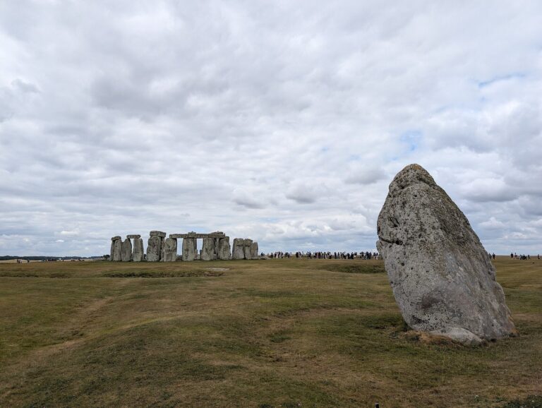
Interpretations place Woodhenge within a wider landscape arrangement linked by routes and incorporating the River Avon. One proposal associates the timber used at Woodhenge and the stone used at Stonehenge with beliefs about the passage between life and death. Butchered pig bones, taken as evidence of feasting, have supported a related interpretation that Woodhenge was associated with the living and Stonehenge with ancestral spirits. Similar possible symbolism involving wood and stone has been proposed at ritual megalithic sites in Madagascar at least 4,000 years later.
Woodhenge forms part of the Stonehenge, Avebury and Associated Sites UNESCO World Heritage property, inscribed in 1986. It is also protected as a scheduled monument within a wider area that includes Durrington Walls, barrows, and settlements.
Remains
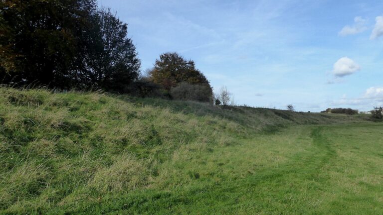
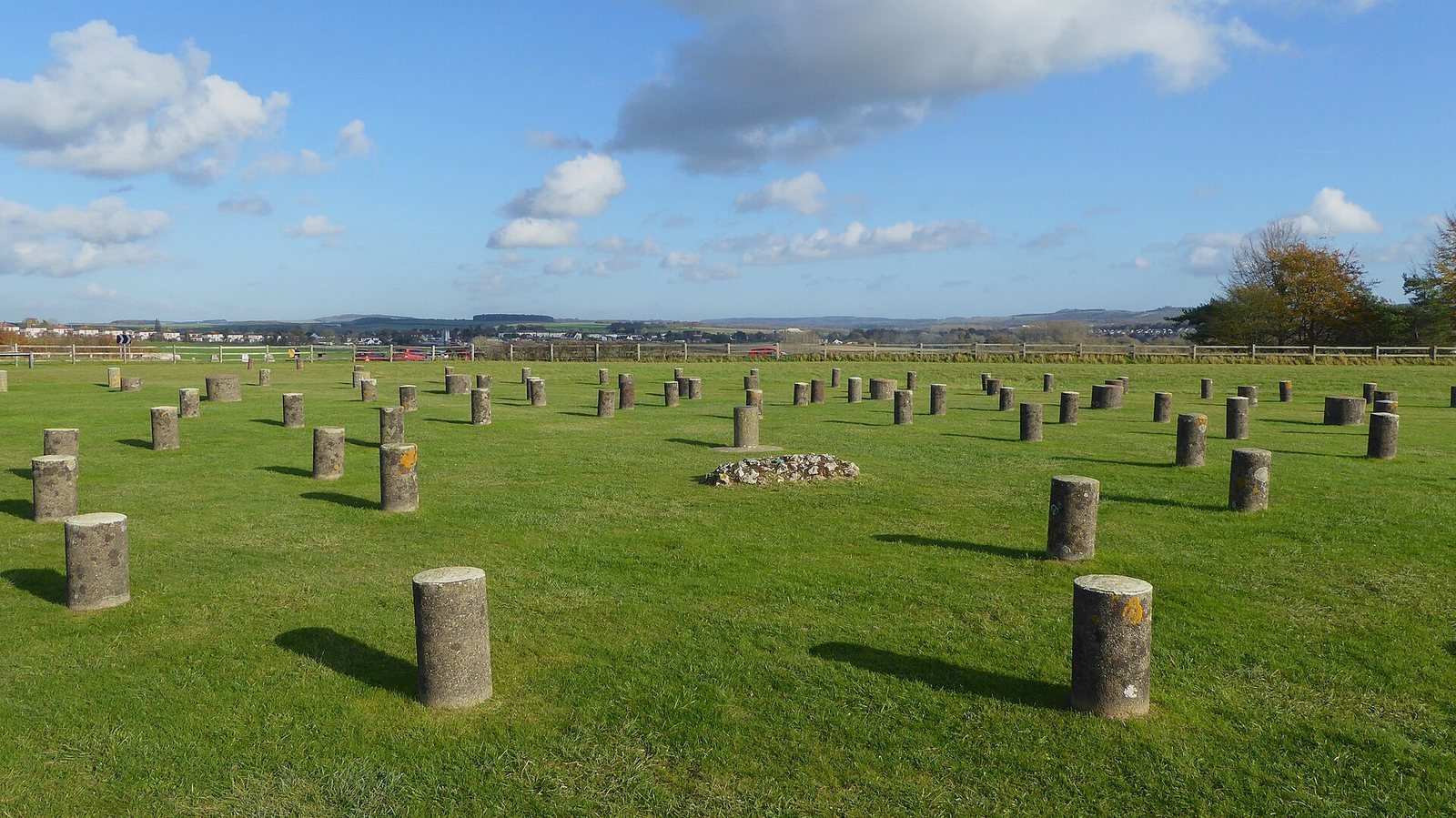
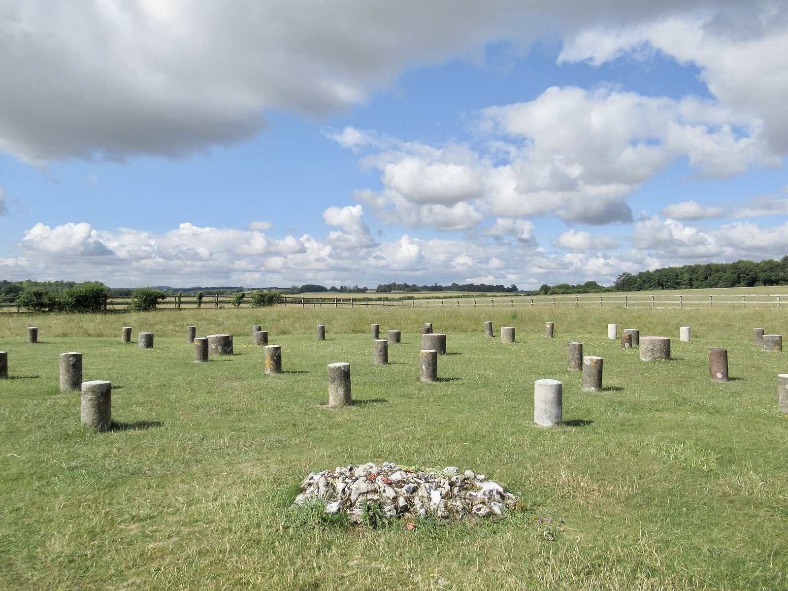
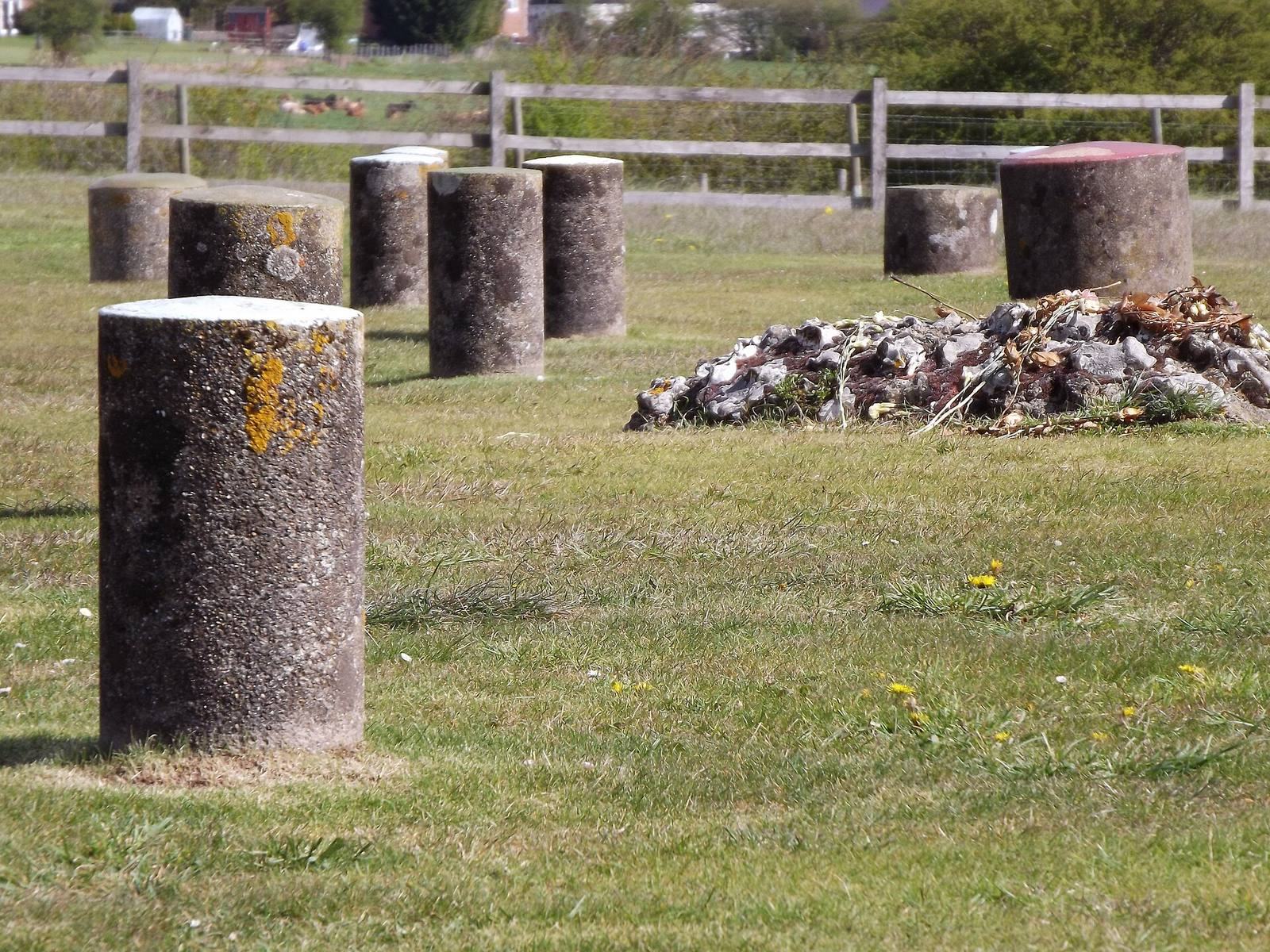
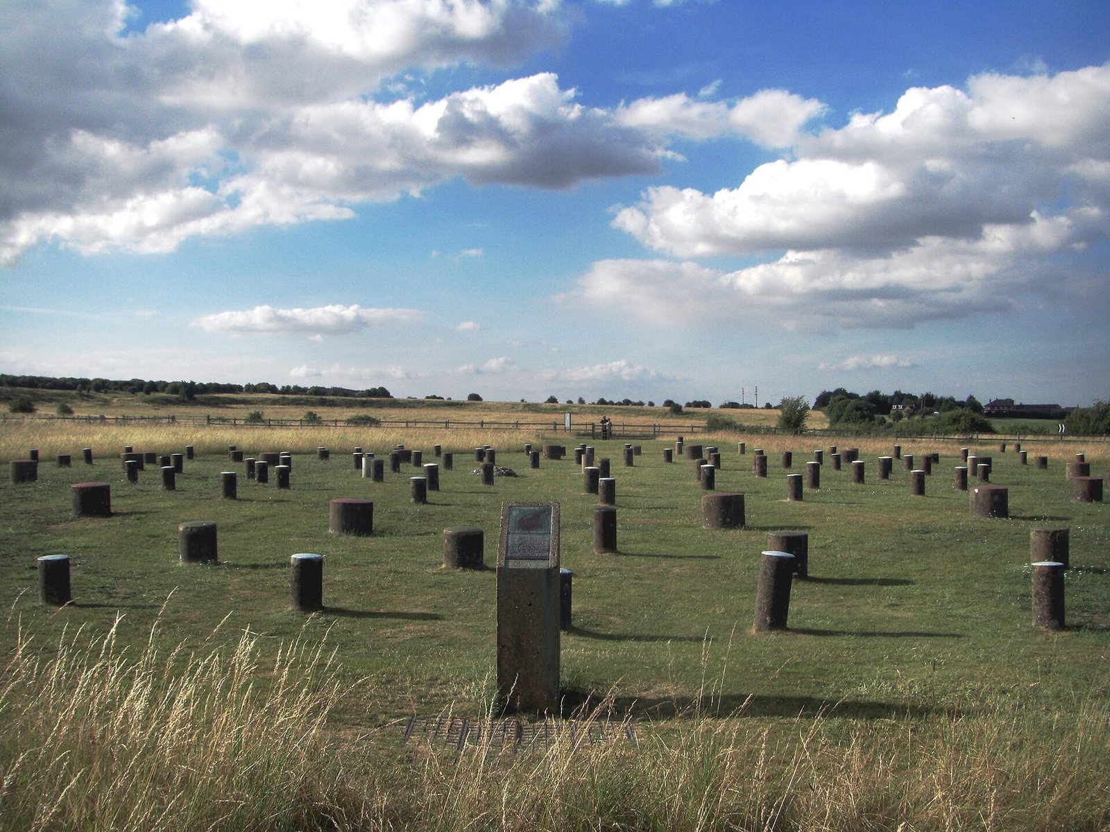
The monument is arranged around six oval rings of postholes, encircled by a ditch and outer bank. Its overall diameter, including the bank and ditch, is about 110 m. The timber and standing stones have disappeared, while faint earthworks and concrete pillars marking the posthole positions remain.
Enclosure and post rings
Earthwork enclosure
A flat-bottomed ditch surrounds the rings, reaching up to 12 m wide and 2.4 m deep. Beyond it, the outer bank is about 10 m wide and 1 m high. A single entrance opens on the northeast side.
Timber circle
The six rings comprise 168 postholes, most of which held wooden posts. The outermost ring measures about 43 by 40 m. The deepest holes reach about 2 m, and the posts they once held are estimated to have stood as much as 7.5 m above ground and weighed up to 5 tonnes. Their arrangement has been compared with the bluestones at Stonehenge.
Burials and standing stones
Burials
A crouched burial, with the body’s limbs drawn up, lay at the center of the rings. A second burial, also crouched and belonging to a teenager, was found in the eastern part of the ditch opposite the entrance. The child’s skull was split, a detail that prompted differing interpretations of how the injury occurred.
Standing stones
Evidence identified by Cunnington suggested that two standing stones may have stood between the second and third posthole rings. Excavations in 2006 indicated that at least five stones may instead have formed a cove, a small arrangement of upright stones.
Alignments and connections
Orientations
The entrance faces approximately toward the midsummer sunrise, as does the entrance at Stonehenge. The diameters of Woodhenge’s timber circle and Stonehenge’s stone circles are similar. Analysis of plans by Maud Cunnington and Alexander Thom suggested a possible alignment with the Moon, a result also indicated by a GPS survey in 2008.
Stonehenge Avenue
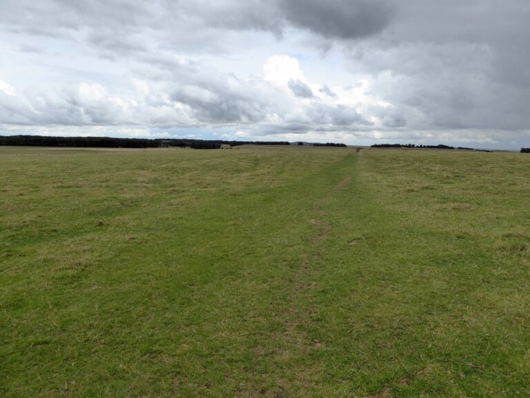
Stonehenge Avenue, a route marked by broad parallel banks and ditches, crosses the ridge between Woodhenge and Stonehenge. It has been interpreted as a physical and spiritual link between the monuments.