Levanto City Walls: The Town’s Defensive Circuit
Site at a Glance
- Popularity
- Very Low
- Country
- Italy
- Primary era
- Medieval
- Eras represented
- Medieval, Early Modern
- Civilizations
- Genoese
- Site type
- Military
- Remains
- Wall
On this page14 sections
History
The Levanto city walls are a defensive circuit in Levanto, Italy, built to protect a town that served as an important port of call for the Republic of Genoa, a maritime state centered on Genoa. Its galley routes used oared ships for travel and warfare across the Mediterranean. Construction of the walls and castle began in 1265 and continued into the sixteenth century.
Genoese affiliation and construction
Levanto joined the Genoese Republic voluntarily in 1229. In 1242, residents defended the town against forces of Frederick II, emperor of the Holy Roman Empire. The existing Malaspina Castle sheltered the population, and the defenders repelled the attacks. The assault made stronger town defenses an urgent concern, leading to work on the walls and castle in 1265.
Later defenses and changing shoreline
A bequest in 1550 funded improvements to the walls and defenses for the New Borough, including fortification of the broad pond area north of the straight stretch of Via Garibaldi. The shoreline later advanced many metres, and the harbor gradually silted up. By the eighteenth century, town plans by Levanto mapmaker Matteo Vinzoni depicted the circuit as still intact. Sections were demolished during the twentieth century.
Remains
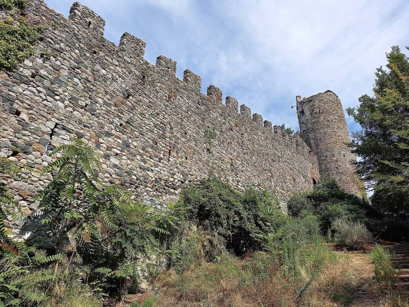
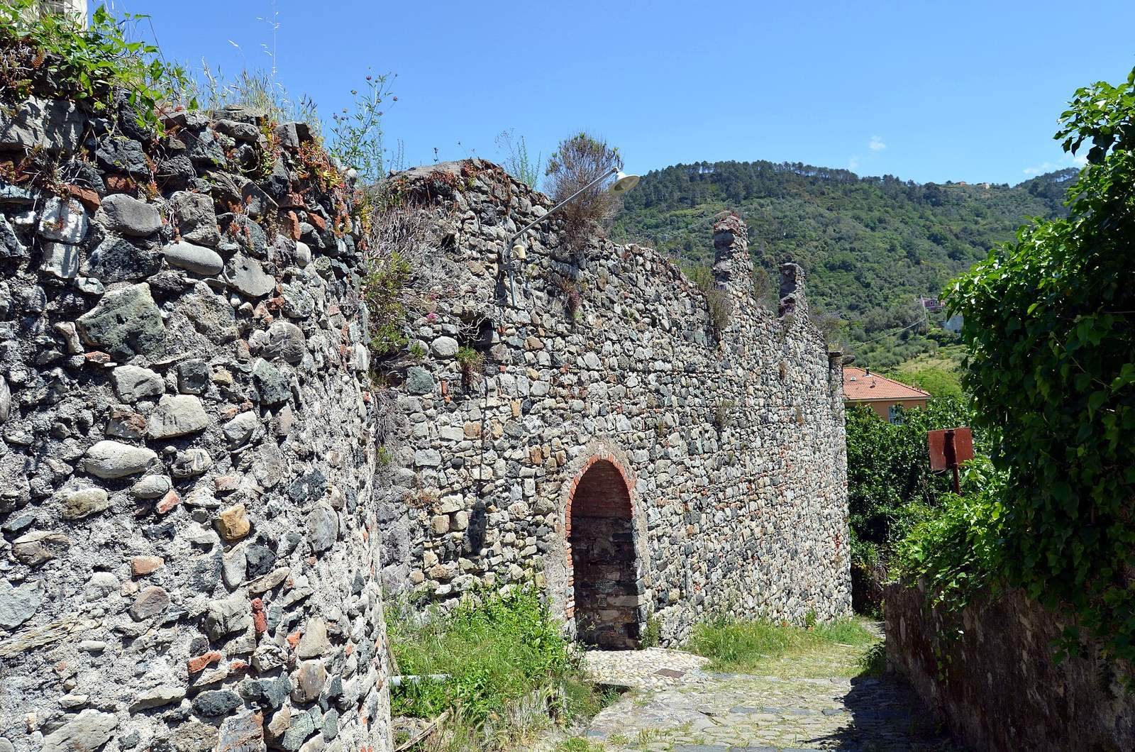
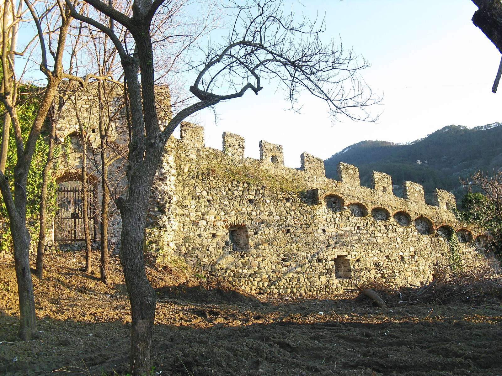
The stone walls enclosed a circuit of about 500 metres, joining the castle to a sequence of gates and towers. The surviving features and the streets that follow parts of the old line help trace the enclosure through the town.
Wall circuit and gates
The wall line
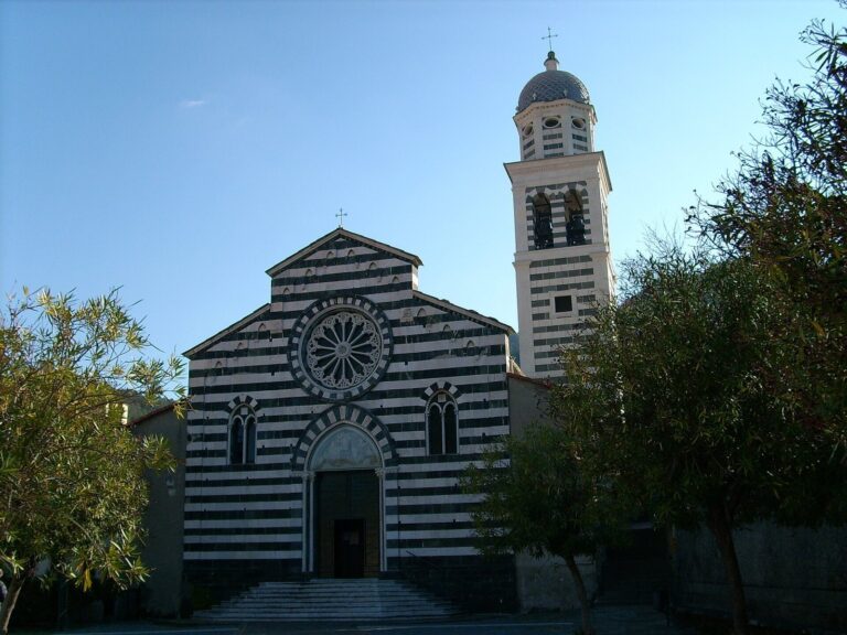
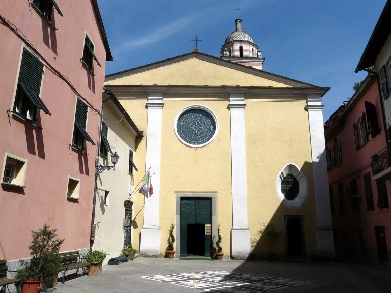
From the castle, a short stretch of wall ran east, while the longer surviving course descended northwest and then turned north in a gentle curve. It passed behind the rounded apse, or end, of Sant’Andrea parish church and behind Piazza Massola before reaching the former mouth of the Cantarana stream. From there, the wall curved west and climbed the coastal hill behind Santa Maria della Costa church and the oratory of San Giacomo. It then descended toward the beginning of Via Guani and continued toward the former waterfront, along present-day Via Dante and just south of Via Garibaldi, ending at Piazza del Popolo.
Ditch Gate or Water Gate
The Ditch Gate, also called the Water Gate, stood at the former mouth of the Cantarana. Its towers can still be seen.
Clock Tower
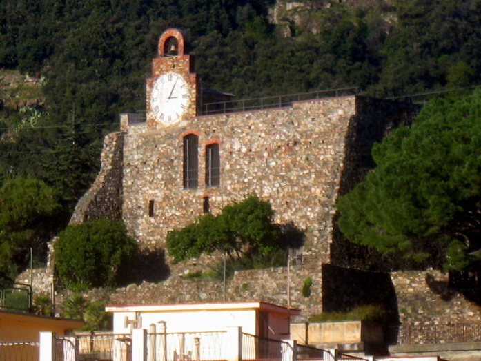
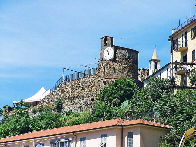
A round tower known as the Clock Tower stood at the circuit’s highest point and still survives.
San Cristoforo and Marina gates
The San Cristoforo Gate stood where the descending wall reached the beginning of Via Guani. The Marina Gate marked the circuit’s end at Piazza del Popolo.
Pond Gate
An arch at the north end of Via Garibaldi marks the entrance to the old New Borough and recalls its former Pond Gate.
Castle and former harbor
Malaspina Castle
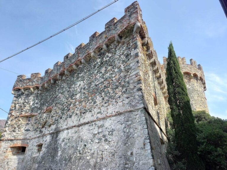
The castle occupies a rise east of the former harbor, positioned to defend the town and overlook the gulf. Its elongated plan runs parallel to the coast, curving slightly northeast. A round tower stood at that end, where the town walls began.
Harbor and Cantarana stream
The former harbor waters extended across the square in front of the loggia, an open-sided gallery, at Piazza del Popolo and uphill to Piazza da Passano. The Cantarana stream followed the line of present-day Via Cantarana and flowed into the sea there.
Passage traditions
Local tradition describes two underground passages leading from the castle. One was said to reach Pietra beach; the other supposedly passed beneath the town and emerged near the Church of the Annunciation. The tradition remains unverified.