Ruza Kremlin: The Medieval Fortress and Civic Center of Ruza
Site at a Glance
- Popularity
- Medium
- Country
- Russia
- Primary era
- Medieval
- Eras represented
- Medieval
- Civilizations
- Unclassified
- Site type
- Military
- Remains
- Citadel
On this page14 sections
History
Ruza Kremlin, the medieval fortress in Ruza, Russia, was established in the 14th century by order of Dmitry Donskoy, grand prince of Moscow. It formed the oldest part of the city and served as its principal civic, political, historical, and artistic center.
Early settlement and foundation
A settlement may have existed on the site in the first half of the first millennium BCE. A medieval Russian settlement later developed there before the Mongol invasions of the 13th century.
A testament from 1375 lists Ruza among the districts of Zvenigorod, while one from 1389 describes it as a “townlet.” This change in status supports a 14th-century date for the fortress. Ruza was rebuilt under Ivan III, ruler of the Grand Principality of Moscow, the medieval Russian state centered on Moscow. Ivan was the son of Vasily II, known as Vasily the Blind. The fortress’s principal structures date to the late 14th and early 15th centuries.
Siege, fire, and military decline
Tatar forces and Polish-Lithuanian forces attacked Ruza. In 1618, Polish prince Władysław, who was pursuing the Moscow throne during a Russian succession crisis, besieged the town. The fortress suffered heavy damage.
A major fire in 1619 destroyed the wooden defenses and much of the settlement around them. The fortifications were not rebuilt, although six towers stood on the earthworks for a time. By 1669, the town’s voivode, Ivan Oksakov, described six decaying towers: the gate tower had fallen, and the others had no roofs. Ruza’s defenses had no gunpowder or firearms.
As the state’s borders moved farther away during the 17th century, Ruza’s military importance diminished. After a victory over the Swedes, the fortress lost its military role and residents dismantled it. The population moved to the outer settlement, while the former fortified area became a site for fairs and salt storage. Stone buildings, including a voivode’s office, a salt shop, and a government office building, were later constructed on the earthworks.
Later use and archaeological work
A park was laid out on the earthworks in 1905, and the arboretum’s range of plants grew during the Soviet period. Archaeological investigations by V. A. Gorodtsov, K. Ya. Vinogradov, and L. A. Golubeva covered about 200 square metres in the southwestern, northeastern, and central parts of the site. Ruza Kremlin is designated a cultural heritage monument of federal significance in Russia.
Remains
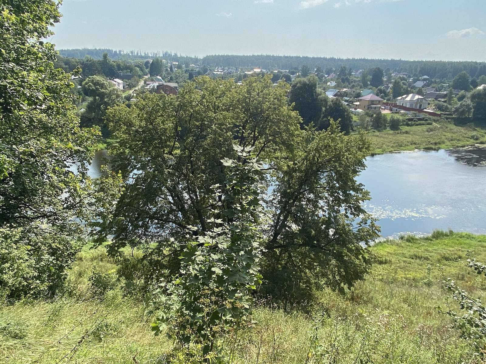
The fortified settlement occupies a promontory on the left bank of the Ruza River, where the Gorodyanka Stream joins it. The Ruza is a left tributary of the Moskva River. The site rises about 25 to 40 metres above its surroundings and has a perimeter of approximately one kilometre. Steep slopes border the promontory, while earthworks defended three sides and a wooden wall of log structures enclosed the fortress.
Defensive works
Ramparts, ditches, and entrance
Ramparts remain on the western, eastern, and northern sides, reaching up to two metres high. On the west, a heavily silted ditch lies between the river and the stream. The approach across the promontory’s isthmus was cut by two ditches and had a complex entrance system. The ancient entrance was in the southwestern part of the fortress.
Walls, towers, and inner defenses
Six evenly spaced towers stood along the wooden perimeter wall, in addition to two gate towers known as the dry and wet gates. A defensive barrier of upright stakes, or palisade, was found near the farther ditch. Seven churches stood within the fortress and formed an additional inner defensive ring.
Archaeological layers and finds
Deposits and excavated structures
Archaeological deposits range from about one metre thick to five or six metres near the edges of the site. Seventeenth- and 18th-century layers begin directly beneath the turf, and a dark layer containing charcoal, ash, and building debris is 25 to 45 centimetres thick. Excavations uncovered part of a ground-level log building with a stove measuring 1.1 by 1.25 metres, as well as a pottery kiln dating to the 14th or early 15th century.
Pottery, tools, and other objects
Finds include handmade pottery with impressed rim decoration associated with the Dyakovo culture, a prehistoric culture of central Russia, and wheel-made pottery from medieval Rus and the later Middle Ages. Other objects include Dyakovo-type weights, cylindrical locks, a diamond-shaped spearhead with a hollow socket for its shaft, a sabre, a bronze fitting showing a human head, and a coin of Ivan IV, the 16th-century ruler of Russia. Most of the ceramics and most of the other objects date from the 14th to 17th centuries. About ten faceted silver rods were found in 1901–03 near the mouth of the Gorodyanka Stream, beside the site’s southeastern slope; they may have served as currency ingots.
Later features and parkland
Salt-storage traces
A small pond lies in the northwestern part of the site. Rectangular depressions immediately north of it mark the locations of 18th-century salt barns.
Park and arboretum
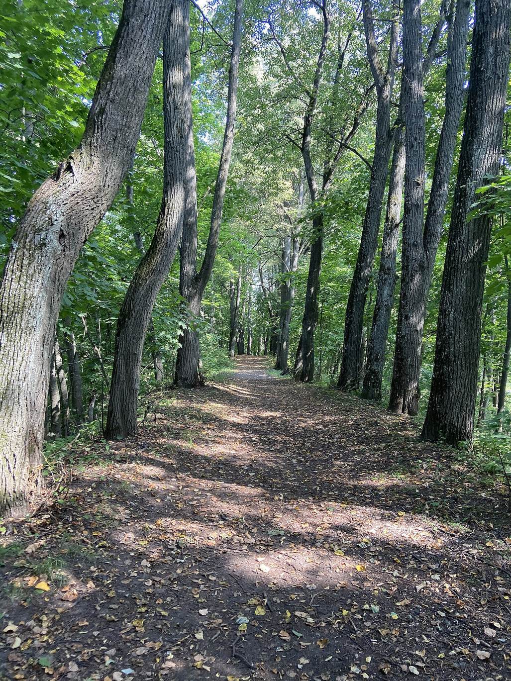
The earthworks now lie within an urban park. Its arboretum, a cultivated collection of trees and shrubs, contains about 70 tree species and 40 shrub species. A tree-lined walking path follows the rampart, and avenues include lime, maple, and larch.