Khan al-Tujjar: A Caravanserai and Market in Lower Galilee, Israel
Site at a Glance
- Popularity
- Low
- Country
- Israel
- Primary era
- Early Modern
- Eras represented
- Early Modern
- Civilizations
- Ottoman
- Site type
- Economic
- Remains
- Caravanserai
On this page9 sections
History
Route and uncertain beginnings
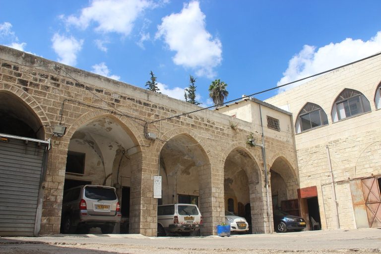
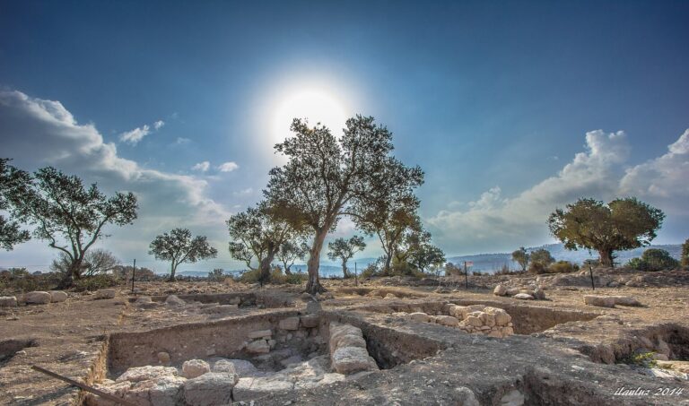
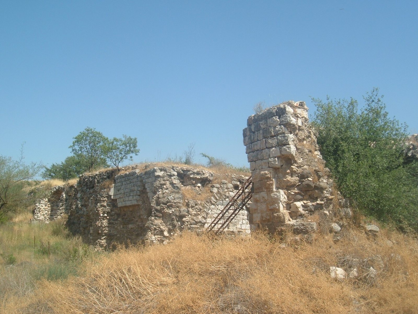
Khan al-Tujjar is a ruined Ottoman-style caravanserai, a roadside lodging and service stop for merchants and their animals, in Israel’s Lower Galilee near Mount Tabor and opposite the entrance to Beit Keshet. Its name means “Caravanserai of the Merchants,” and it was also known as Suq al-Khan, or “Market of the Khan.” Its construction date is uncertain.
The khan stood on the main route between Damascus and Egypt. Merchants and pilgrims regarded the area as unsafe, and it was argued that establishing a khan could encourage settlement and cultivation. A separate fortress was built to protect the isolated complex.
Fortified service and a changing market
In 1649, the Ottoman travel writer Evliya Çelebi described a fortified complex with a warden and a garrison of 150 men. He reported that travelers received a loaf of bread and a tallow candle without charge, while each horse was given a bag of barley. In the early eighteenth century, the area appeared deserted and had no weekly market. Travelers nevertheless noted two buildings, one with a mosque and bath, the other used for goods and livestock.
By the early 1760s, a Monday fair attracted merchants from different countries, selling cloth, livestock, and provisions. Around 1816, an estimated 4,000 to 5,000 people and numerous herds gathered there on Mondays. In 1838, the fair drew so many people that a large part of Nazareth’s population was away from home.
Regional trade and later use
By the mid-nineteenth century, the Monday market brought thousands from across the region. Cotton came from Nablus; barley, wheat, sesame, and maize arrived from Huleh, Hauran, and Esdraelon; and livestock, dairy products, and honey came from Gilead, Bashan, and nearby districts. Traders also offered poultry, eggs, seasonal produce, fabrics, jewelry, ready-made clothes, shoes, and saddlery. The market dispersed before sunset as people returned home or went to nearby villages.
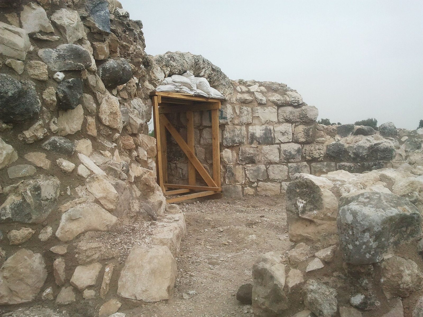
A map from 1799 gives the place name as Kan Ouioun el Touggar. By 1881, the khan no longer operated as a caravanserai, although a weekly market continued on Thursdays. Conservation work was underway at the ruins in April 2014.
Remains
The khan and its defenses
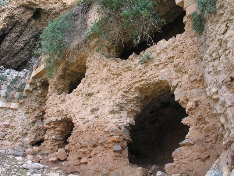
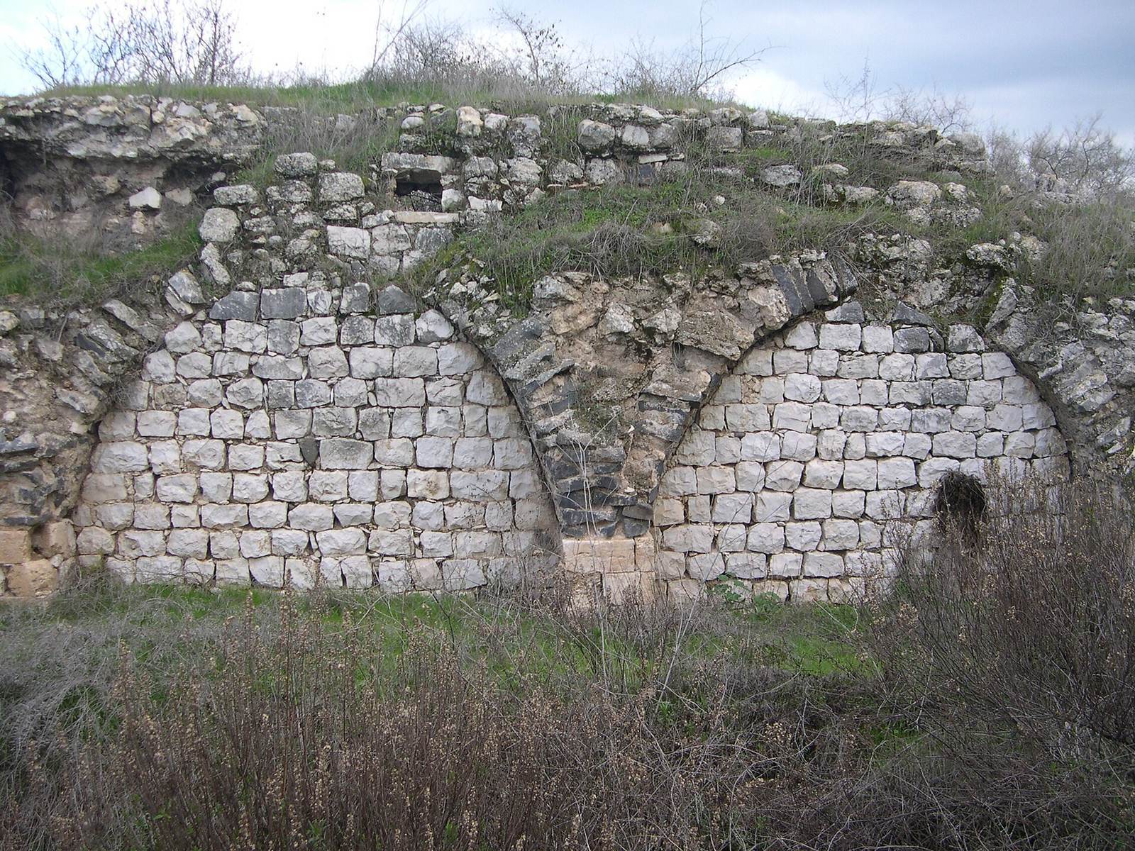
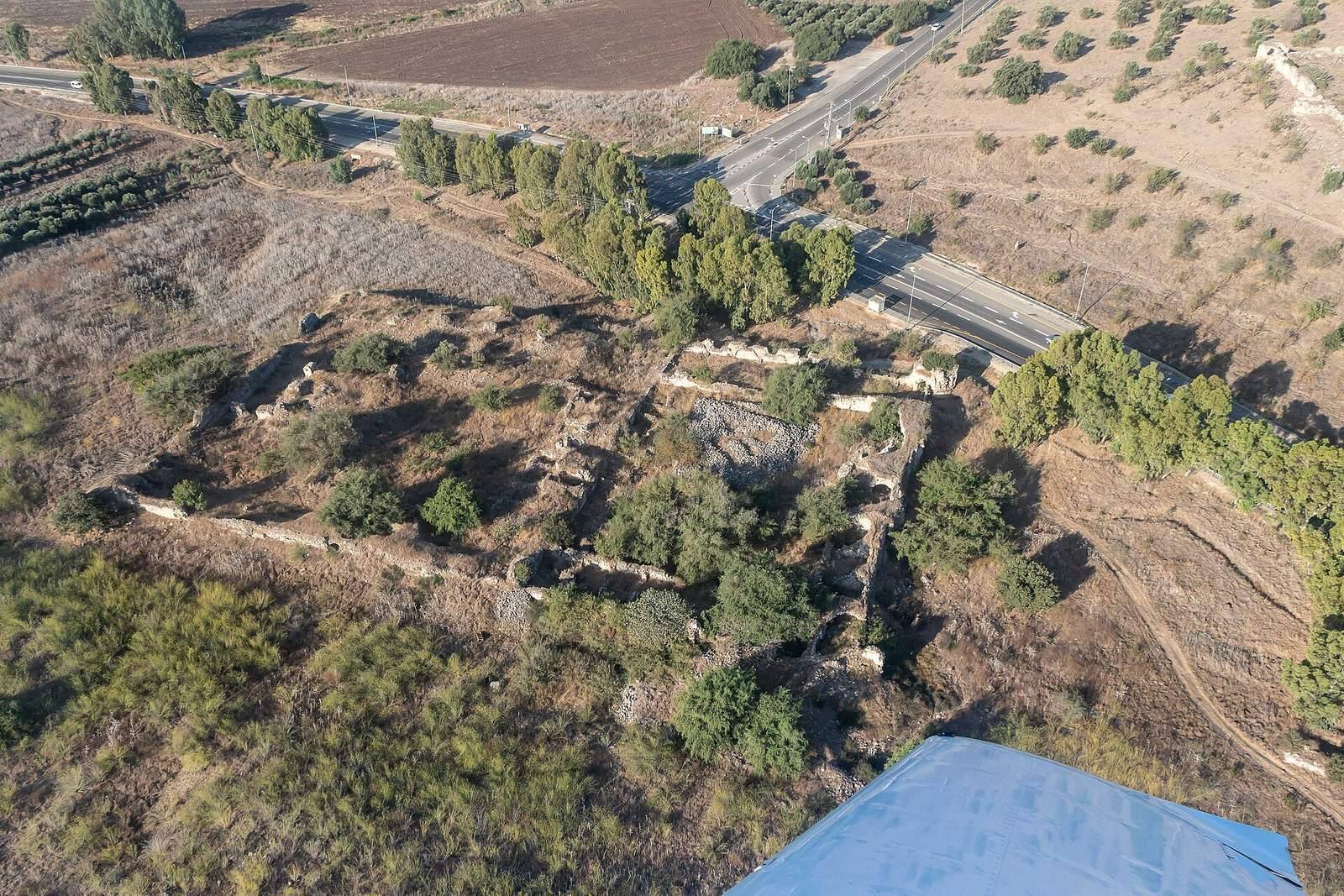
The ruined complex occupies flat ground beside the main road. Its Ottoman-style layout centered on a courtyard, while the remains of a separate fortress stand on a hill opposite the khan, north of the entrance junction to Beit Keshet.
Courtyard, shops, and well
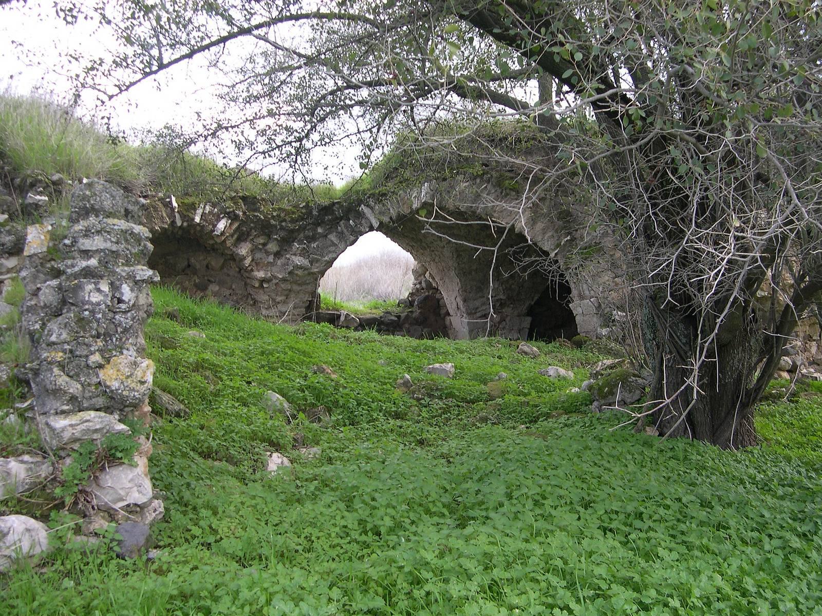
The khan was arranged around a central courtyard containing a well and included eight shops. Its enclosing wall may date to the sixteenth century. In 1881, the well was noted for supplying water throughout the year.
Mosque
Çelebi described a mosque within the fortified complex, measuring 80 feet on each side. He noted a lead roof, pale-blue enamelled-glass windows set with rock crystal and possibly another crystal material, three tall minarets (towers traditionally used to call Muslims to prayer), and seven high domes. Remains of three minarets are associated with the mosque.
Fortress
The fortress on the hill was separate from the khan, whose position on flat ground was considered difficult to defend. Çelebi described the fortress as a square masonry structure with a circumference of 600 paces, a double iron gate facing north, and 40 to 50 rooms for its garrison.