Great Khodosivka Hill Fort: An Early Iron Age Fortified Settlement in Ukraine
Site at a Glance
- Popularity
- Low
- Country
- Ukraine
- Primary era
- Iron Age
- Eras represented
- Iron Age, Classical
- Civilizations
- Unclassified
- Site type
- Military
- Remains
- Wall
On this page5 sections
History
Great Khodosivka hill fort is an Early Iron Age fortified settlement on elevated ground in Ukraine, south of Khodosivka on the right bank of the Dnieper. The Early Iron Age is an archaeological period associated with the adoption and use of iron, though its dates vary by region. Also called Kruhlyk hill fort, the site is one of three giant hill forts in the Ukrainian forest-steppe and the northernmost of the large forts on the Dnieper’s right bank.
During Kyivan Rus, a medieval East Slavic polity centered on Kyiv, the fort’s rampart became part of the last line of defense before the city.
I. V. Fabricius and E. F. Pokrovskaya surveyed the site in 1947. Small-scale excavations followed in 1950 under E. V. Makhno and in 1976 under E. A. Petrovskaya and E. V. Maksimov. In 2008, more than 13 hectares of the southern rampart were illegally registered as private property. Following a lawsuit by the Prosecutor General’s Office, the land returned to state ownership in 2023. The hill fort is designated a monument of archaeology of national significance in Ukraine.
Remains
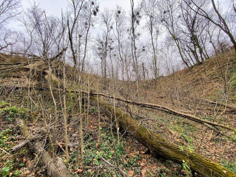
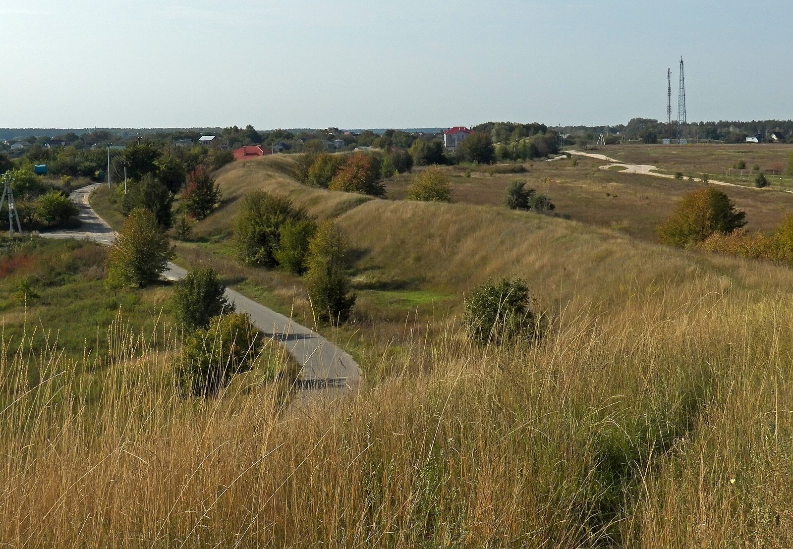
The surviving layout includes long earthen ramparts and an irregularly rectangular fortified area. The Vita divides the hill fort into two parts, while the southern ground rises above the Dnieper floodplain.
Landscape and outer defenses
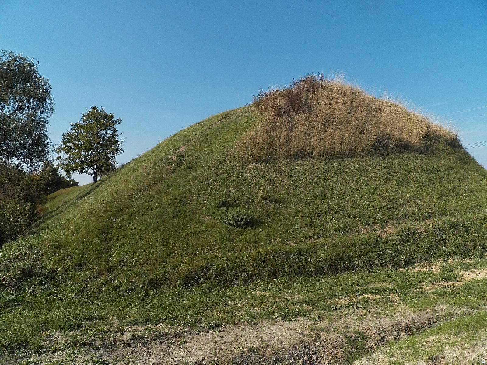
The hill fort lies between the villages of Kruhlyk, Khodosivka, and Ivankovychi. Its principal rampart follows a horseshoe-shaped plan about 4.5 by 3 km, measures 10 to 12 km in total length, and reaches up to 8 m high. It encloses approximately 1,000 to 2,000 hectares. Two horseshoe-shaped ramparts enclose the Vita’s channel, and traces of a ditch, partly filled with earth, remain visible in places. The southern part of the promontory rises more than 80 m above the Dnieper floodplain; the fort’s right-hand part is higher.
Fortified area
The fortified area measures 140 by 80 m and has an irregular rectangular plan. On its western side, two parallel ramparts survive, with remains of burned wooden structures within them and two ditches. Traces of a steepened defensive slope are visible to the north, and the entrance stood on the northwest side.
Excavated settlement remains
Excavations in the southern part uncovered domestic structures, pottery fragments from pots, ladles, bowls, and large storage jars, as well as an iron sickle dated to the sixth and fifth centuries BCE. They also revealed remains of above-ground houses associated with the Zarubintsy culture, an archaeological culture of the Dnieper region. These houses date from the first century BCE to the first century CE.