Pythagoreion: Archaeological Site of Ancient Samos
Site at a Glance
- Popularity
- High
- Country
- Greece
- Primary era
- Classical
- Eras represented
- Classical
- Civilizations
- Ancient Greek, Roman
- Site type
- City
On this page12 sections
History
Pythagoreion, the archaeological site of the ancient Greek town of Samos, lies on the island of Samos in Greece. The town developed into a fortified harbor and maritime center, reaching its greatest maritime and economic importance in the sixth century BC.
Early settlement
Samos was inhabited from the fourth millennium BC. Settlers from Crete arrived in the sixteenth century BC, followed by people from the Greek city of Epidauros in the eleventh century BC. Ionians, a Greek people associated with western Asia Minor and nearby islands, came from mainland Greece in the ninth century BC.
Archaic Samos
Samos’s maritime and economic importance grew after the Trojan War, the legendary conflict central to ancient Greek tradition. In the sixth century BC, particularly under Polycrates, an autocratic ruler of Samos, the town became a major naval power. Its forests provided timber for ships and warships, and it established colonies in Ionia, Thrace, and the western Mediterranean. Samian shipbuilders also developed a 50-oared vessel with a ram-shaped bow. Samos belonged to the Ionian League, an alliance of Greek cities in Ionia.
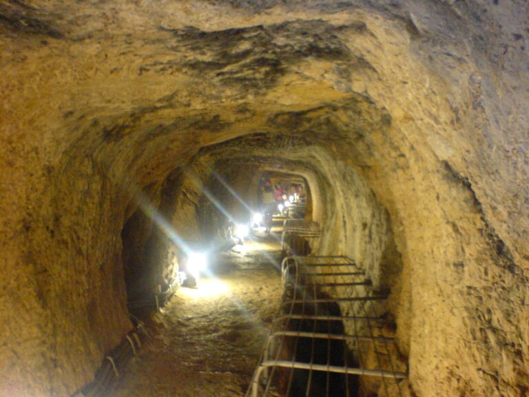
In the same century, Eupalinos of Megara, an ancient Greek city, engineered a concealed water tunnel for the town. Completed in 524 BC after 15 years of work, it helped protect the water supply during a siege. Herodotus, an ancient Greek historian, described the tunnel as one of the wonders of its time. It carried water for about a millennium, and Herodotus’s account may have contributed to its rediscovery.
Persian conquest and later rule
The Persians conquered Samos late in the sixth century BC, after which its political power declined. It remained an important commercial center during the Hellenistic period, which followed Alexander the Great’s conquests, and under Roman rule. Germanic tribes invaded in the third century AD, and the settlement never fully recovered.
Modern name and heritage
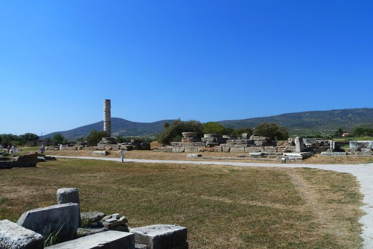
The modern town, formerly called Tigani, was renamed Pythagoreio in 1955 in honor of Pythagoras, the sixth-century BC Greek philosopher and mathematician. The archaeological site takes its name from the town. In 1992, Pythagoreion and the Heraion of Samos, a sanctuary dedicated to Hera about six kilometers west, were inscribed together as a UNESCO World Heritage property. The inscription recognizes Samos’s cultural, military, and economic importance during the Archaic and early Classical periods of Greek history. The tunnel came to light between 1882 and 1884.
Remains
The ancient town occupied a defensible coastal peninsula beside a small natural bay, with Mount Kastro to the north and mountains shaping the wider setting. Its remains include a long defensive circuit, streets and civic areas, harbor works, and an elaborate water system.
Fortifications and town
Defensive circuit
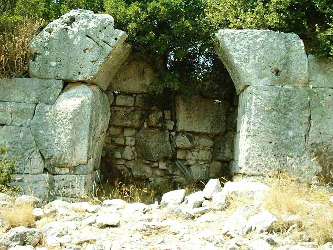
Classical-period walls enclosed the town for about 6.5 kilometers and incorporated 35 watchtowers. The defenses extended to the summit of Mount Kastro and were supplemented during the Hellenistic period.
Streets and buildings
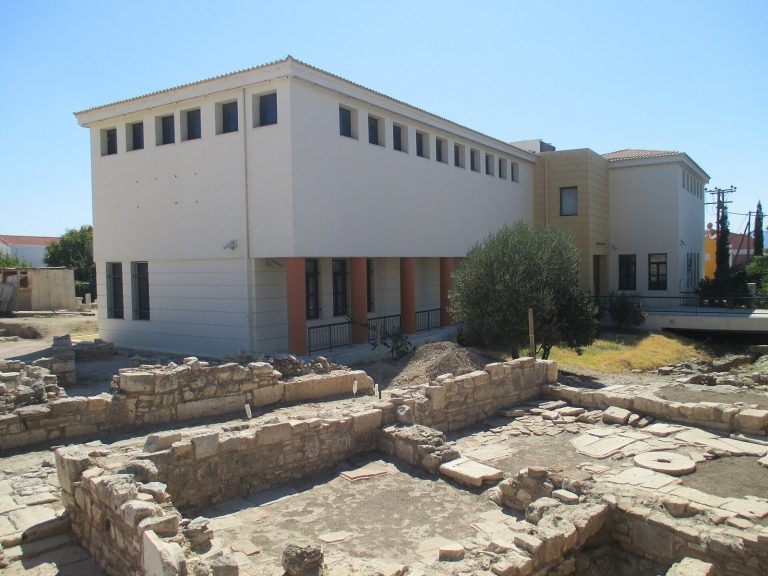
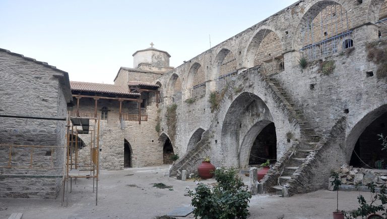
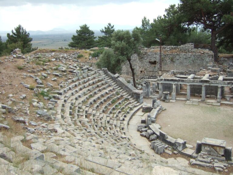
The remains include the ancient street plan, paved streets, and a sewage system, alongside public and religious buildings. Temples, an agora, a public space for gathering and exchange, a stadium, and Roman baths formed part of the town. Hellenistic and Roman houses have also been found, including examples with mosaic floors.
Harbor and water engineering
Harbor works
The town’s harbor works included a dam built under Polycrates.
Tunnel of Eupalinos
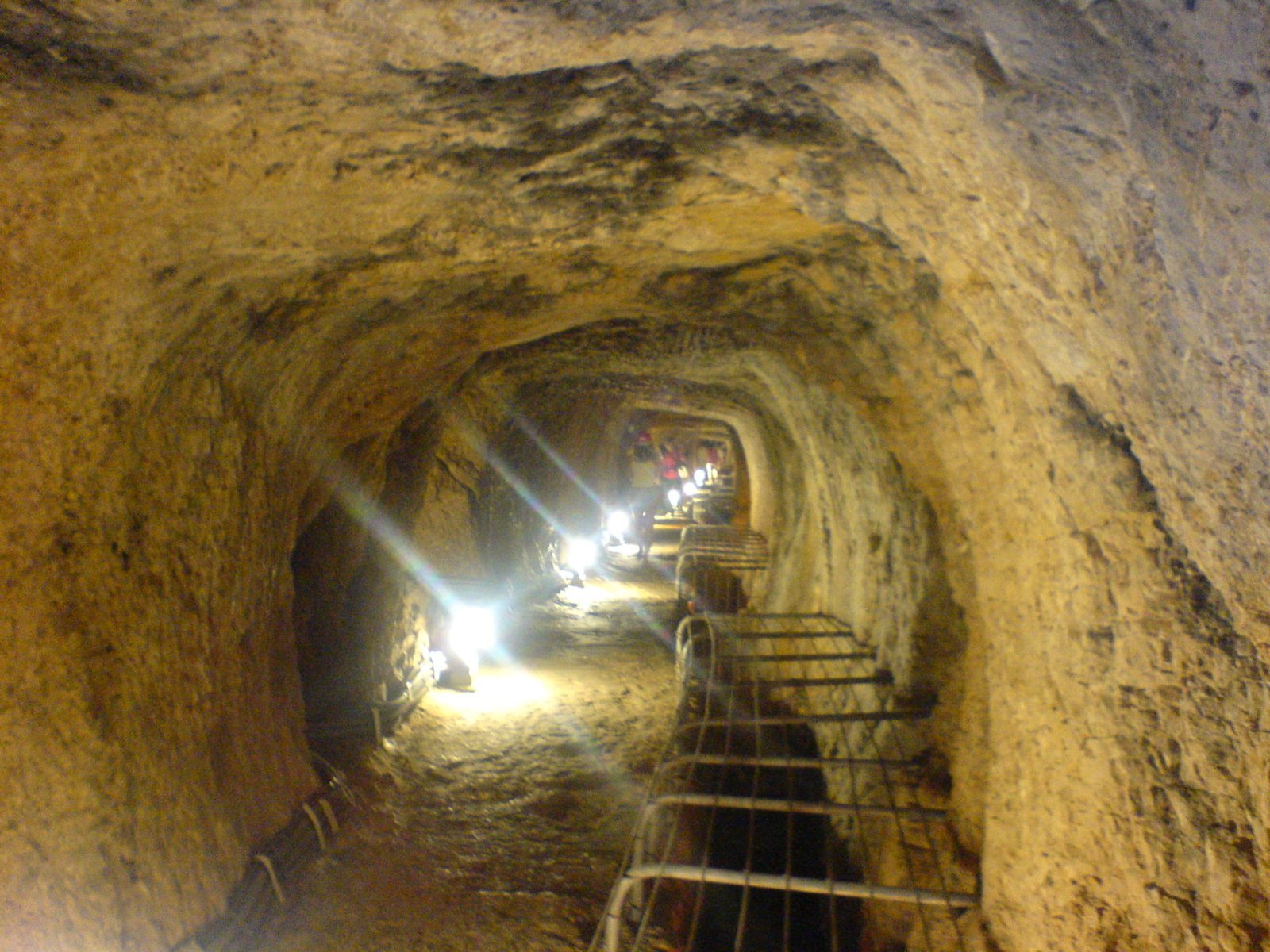
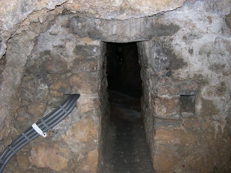
The Tunnel of Eupalinos is a water passage cut through Mount Kastro to carry water from the Agiades stream on the mountain’s far side. It is about 1.04 kilometers long and up to 2 meters wide. Workers excavated it from both ends. To manage the meeting point, Eupalinos raised the northern passage’s roof and lowered the southern passage’s floor, though these vertical adjustments proved unnecessary because the calculations were accurate. He also altered the horizontal courses, turning one excavation right and the other left so they would meet. The tunnel is the second known to have been excavated from both ends and the first to use a systematic method.