Sant’Anastasia Archaeological Area: A Nuragic Water Sanctuary in Sardinia
Site at a Glance
- Popularity
- Medium
- Country
- Italy
- Primary era
- Bronze Age
- Eras represented
- Bronze Age
- Civilizations
- Nuragic
- Site type
- Religious
- Remains
- Sanctuary
On this page14 sections
History
The Nuragic sanctuary
The Sant’Anastasia Archaeological Area is a Nuragic sacred complex in Sardara, central Sardinia, Italy. Built by the Nuragic civilization, Sardinia’s prehistoric culture, it is centered on a sacred well dated to the 13th–12th centuries BC, in the Late Bronze Age. The well was dedicated to the cult of water and is also known by the Sardinian name Sa funtana de is dolus, meaning “Spring of Sorrows.”
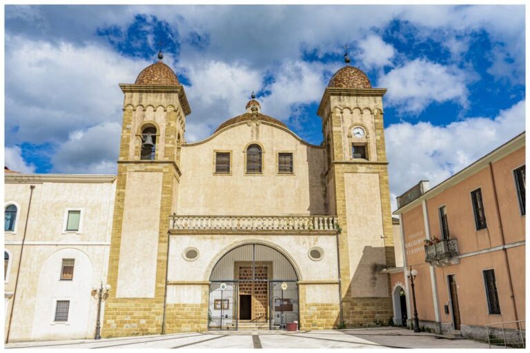
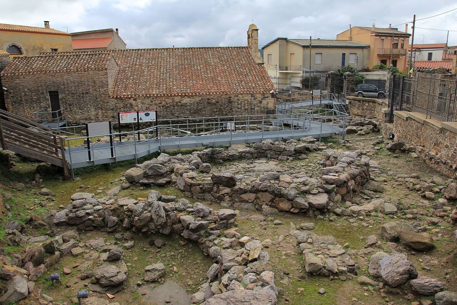
The sanctuary stands in the town, in front of the church of Sant’Anastasia and below Pran’e Cuaddus hill. A sacred well within a settlement is a distinctive setting for Nuragic ritual architecture; another example is the well at Predio Canopoli in Perfugas.
Excavations and interpretation
Antonio Taramelli discovered and excavated the site in 1913. Later campaigns were led by Luisanna Usai and Giovanni Ugas in 1980–1984, Roberto Sirigu in 1988, and Donatella Cocco in 2000–2001. Excavations revealed parts of the settlement and several wells, including one beneath the church. A further sacred well and much of the village lie beneath Sardara’s town center and remain unexcavated.
An archaeoastronomical interpretation proposes that sunlight reaches the well’s water at noon on 21 April and 21 August, making it glow when seen through the opening above. The proposed April alignment is associated with the feast of Saint Anastasia, an early Christian martyr, and with Parilia, an ancient Roman festival held on 21 April. The poet Ovid described Parilia as older than Rome; during the imperial period, the festival date was also linked to the city’s foundation.
Remains
Layout and setting
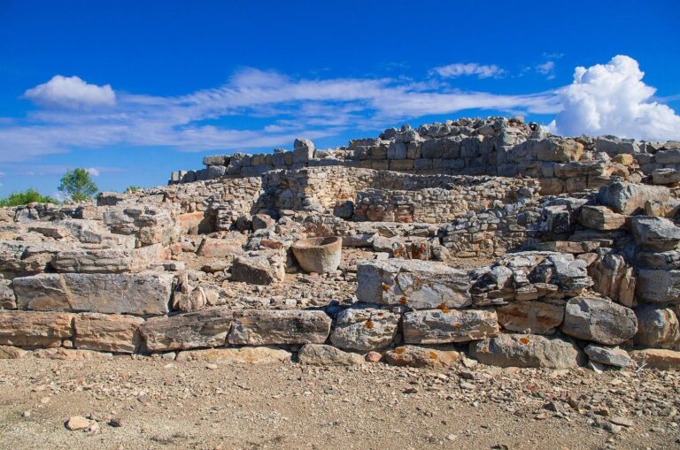
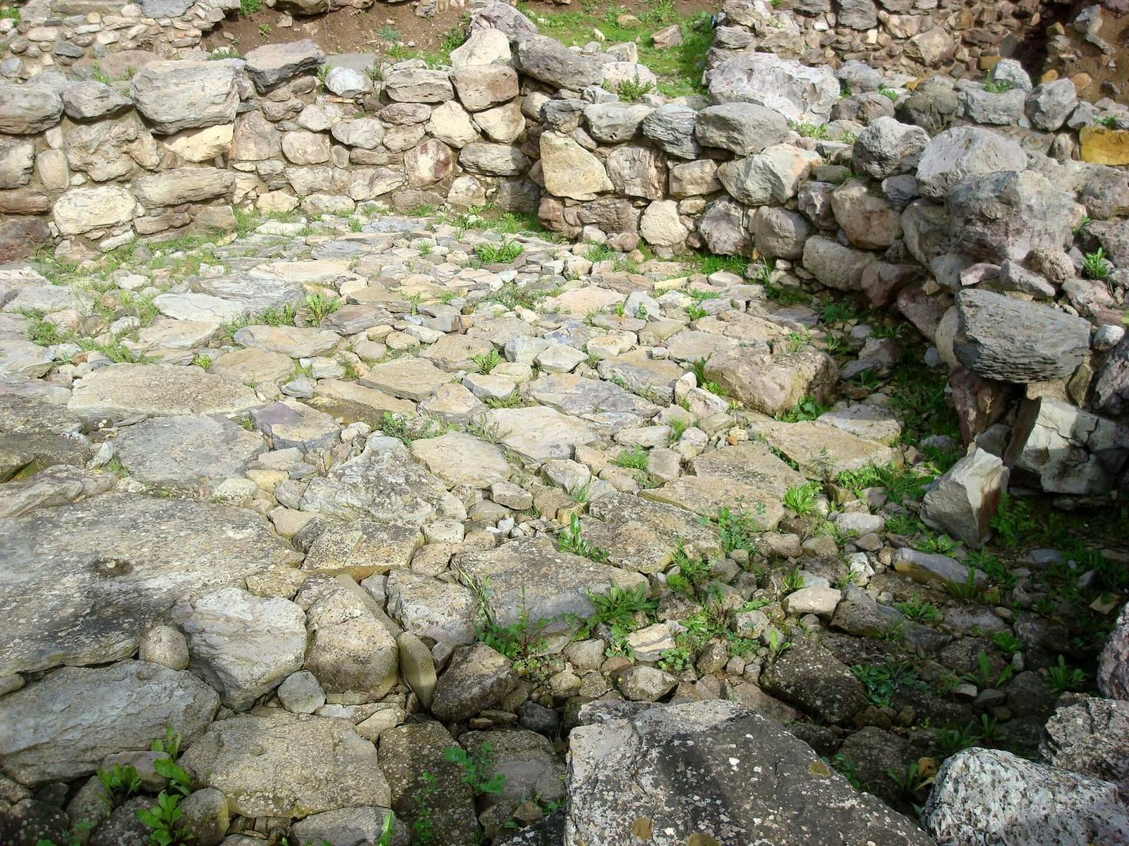
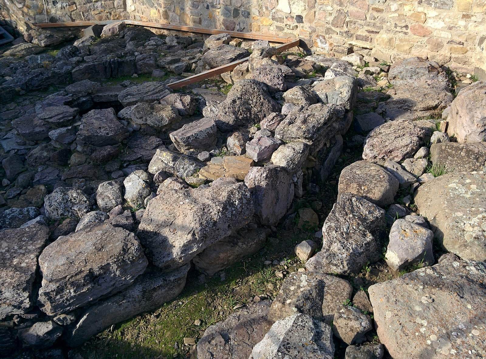
The archaeological area covers about 3,000 square metres. Its underground sacred well is built from rough basalt and limestone blocks. Several huts have been identified around the sanctuary, while the church and the hill help locate the complex within the modern town.
The sacred well
Entrance and chamber
A partly paved atrium, about 3.5 by 2.2 metres, leads to the well. Only a few of its stone blocks survive; these have been described as benches for worshippers. From the atrium, a staircase of 12 steps descends roughly 2 metres over a length of about 6 metres, beneath a sloping cover made of flat slabs. The stairs reach a circular chamber about 3 metres in diameter and 5 metres high, capped by a corbelled, dome-like roof.
The well shaft has an opening about 3.5 metres across. Its walls rise vertically to the entrance level, then narrow into a beehive-shaped vault built with projecting stone courses, reaching about 4.5 metres in height. A circular wall made of a single row of masonry surrounds the opening at the top.
Spring and supporting walls
At the bottom of the chamber, opposite the staircase, a spring emerged through an opening capped by a horizontal stone and flowed along a channel about 5–6 metres long. A niche formed from larger single blocks is set into the floor opposite the entrance. The walls of the entrance, passage, and well are structurally joined. Their outer sections retain the earth piled against them, limiting access to their outside surfaces.
Settlement features
Hut 1 and water channels
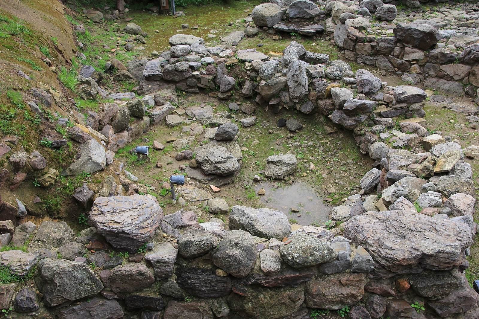
Hut 1 lies above the sacred well. It has a circular plan and two rectangular niches. Beneath its floor, seven channels covered with stone slabs spread out in a fan shape, directing spring water toward the channel that supplied the well.
Hut 4
Hut 4 stands slightly higher than Hut 1 and was used for metalworking. Terracotta moulds for casting were found both inside and outside the hut.
Hut 5
Built between the late 11th and 10th centuries BC, Hut 5 is interpreted as a meeting place for village chiefs. A bench remains visible at its center. Finds from inside include a jar containing bronze objects, among them casting tools, as well as three bronze basins.
Utilitarian well
A separate well excavated by Taramelli was built in regular courses of masonry and descends about 2.5 metres to the natural rock. Its sides taper toward the base. It contained an askoid jug, shaped like an ancient rounded vessel with a spout, along with basket-shaped and pear-shaped vessels dated from the Final Bronze Age to the 7th century BC.
Carved stone blocks
Excavations recovered basalt blocks with raised, breast-like forms, a block carved as the forepart of a bull, and T-shaped blocks. Some were incorporated into the church façade and are now inside the church. They may originally have decorated the outside of the sacred well’s entrance.
Finds from Sant’Anastasia and its archaeological area are displayed at the Villa Abbas Civic Museum in Sardara and the National Archaeological Museum in Cagliari.