Zorah: An Ancient Settlement in Israel’s Shephelah
Site at a Glance
- Popularity
- High
- Country
- Israel
- Primary era
- Iron Age
- Eras represented
- Bronze Age, Iron Age
- Civilizations
- Canaanite, Israelite
- Site type
- City
On this page9 sections
History
Zorah was an ancient settlement in Israel’s Judaean Shephelah, the foothill region between the Judean highlands and the Mediterranean coast. It was occupied during the Late Bronze Age, the final phase of the Bronze Age in the eastern Mediterranean, and was associated with Canaanite and Israelite cultures.
Early references and biblical traditions
Zorah appears in the 14th-century BCE Amarna letters, diplomatic correspondence between Egypt and rulers in the Near East. A letter from the Egyptian pharaoh Amenhotep III reports that the sons of Milkilu, king of Gezer, were nearly killed by Apiru while travelling to Ajalon and Zorah. Apiru was a label used in ancient Near Eastern texts, but the identity of the people it described is uncertain. Zorah has also been linked with Zarka, a place named in the letters.
The biblical town is identified with Zoreah. The Book of Joshua lists it among the towns in Judah’s Shephelah and places it on the boundary of Dan, one of the Israelite tribes. The Danites probably occupied the town. In the Book of Judges, Zorah is named as the birthplace of Samson, an Israelite leader known as a judge; his father Manoah is described as a Danite from Zorah. Judges also places Samson’s burial near the town. The first-century Jewish historian Josephus associated his grave with a village called Sarasat.
Rabbinic traditions in the Talmud, a body of Jewish teaching and discussion, further connect Zorah with neighboring Eshtaol and Samson. One passage describes Samson uprooting two mountains and grinding them together. Another says that his strides reached from Zorah to Eshtaol, and that his hair and voice carried between the two places.
Judahite defenses and later references
Zorah was among the fortified towns that Judah’s king Rehoboam established along the border with Philistia. The towns had appointed officers and stores of food, oil, and wine, and were supplied with shields and spears.
The Book of Nehemiah includes a Zorah among settlements resettled by Judahites after the Babylonian exile, the deportation of Judeans to Babylonia and their subsequent return. Whether this reference means the Zorah described here is uncertain, since nearby entries concern southern settlements. In the fourth century CE, Eusebius’s geographical work the Onomasticon described a village called Zorah about 10 miles north of Beit Guvrin.
Later settlement and the name Zorah
The Arab village of Sar’a preserved the ancient site’s name and occupied its presumed location. Sar’a was depopulated during the 1948 Arab-Israeli War. Nearby Kibbutz Tzora takes its name from the biblical town.
Remains
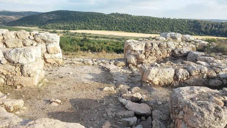
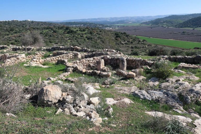
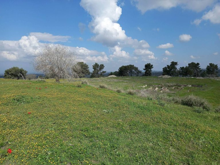
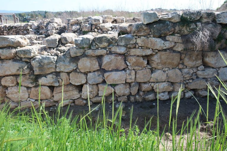
The ruins occupy a hill crest overlooking the Sorek Valley, near a seasonal watercourse, at about 350 metres above sea level and 23 kilometres west of Jerusalem. The settlement mound, or tell, formed through successive layers of occupation. The remains include rock-cut features, and the surrounding landscape has changed from the bare, pale hill described in 1881, with olive groves north of the village, to an area planted with pine forest.
The tell and village remains
Settlement landscape
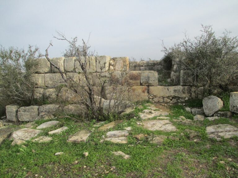
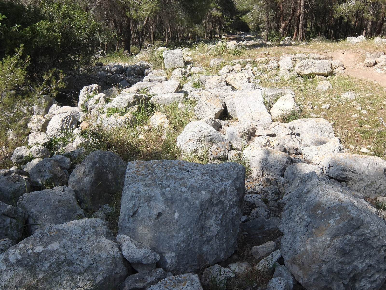
The site is in ruins. A pine forest planted by the Jewish National Fund, an organization involved in land development and afforestation in Israel, now covers the area. Nearby, at the southern foot of the mountain, stands Kibbutz Tzora.
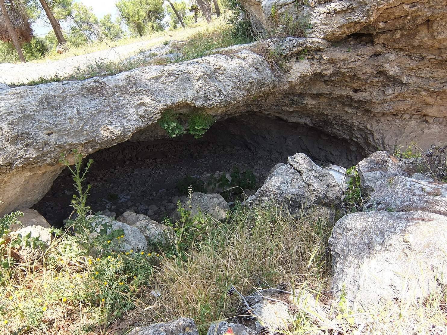
Caves, tombs, cisterns, and winepresses
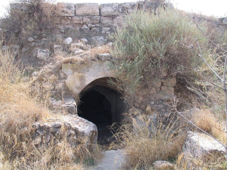
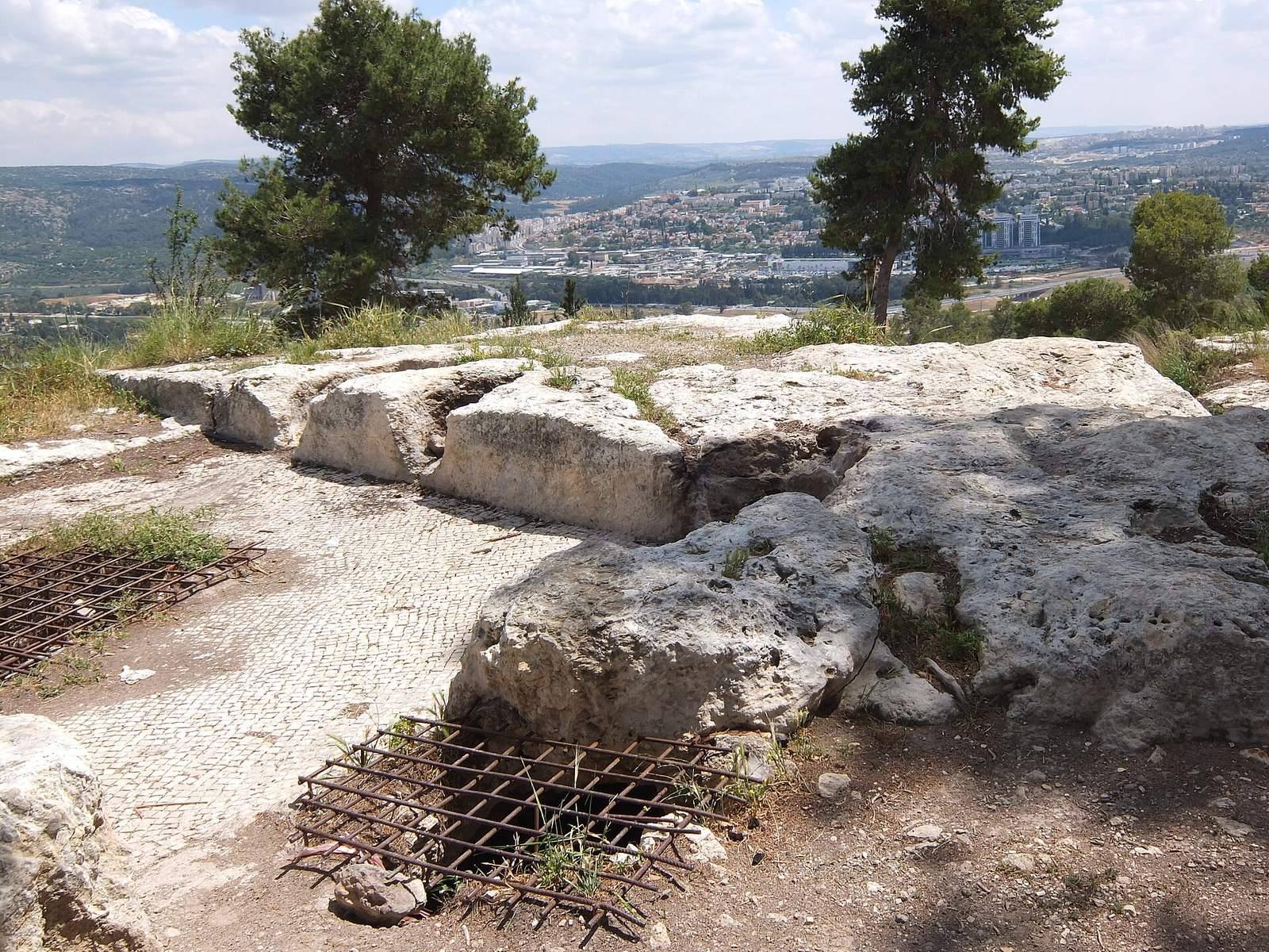
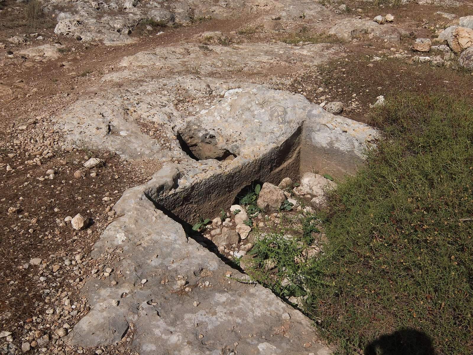
Caves, tombs, cisterns, and winepresses are among the features identified at the tell. Two winepresses were cut into the rock, and one has a mosaic-paved floor. They stand beside a two-storey house that survives from the former Arab village.
Manoah’s Altar
Below the tell, west of the industrial area at Samson Interchange on Highway 38, is a dressed feature cut from rock and known locally as Manoah’s Altar. Scholars began identifying it as an altar in the 19th century. Local tradition connects it with the rock altar in the biblical story of the angel’s appearance to Manoah and his wife, announcing Samson’s birth.
The feature measures about 3 metres by 2.5 metres by 1.5 metres. Stone fragments form its base, above which a step may have served as a foundation. Its upper surface is thought to have supported a priest and ritual objects, and measures about 1.5 metres by 1.45 metres by 0.3 metres. Several cuttings and more than ten cup-shaped depressions mark the surface; some depressions connect through narrow channels that may have drained liquid offerings, including blood, oil, or wine. The corners face the cardinal directions, and small, damaged steps are cut into one corner.