Toky Castle: A Late-Sixteenth-Century Fortress in Ukraine
Site at a Glance
- Popularity
- Low
- Country
- Ukraine
- Primary era
- Early Modern
- Eras represented
- Early Modern
- Civilizations
- Polish–Lithuanian Commonwealth
- Site type
- Military
- Remains
- Castle
On this page9 sections
History
Toky Castle is a late-sixteenth-century stone fortress at Toki in Ukraine. Janusz Zbaraski, the Bratslav voivode (provincial governor), built it in the 1590s to defend against enemies and protect the local population.
Foundation and ownership
The Zbaraski family owned the castle until 1631, when it passed to the Wiśniowiecki family. Before its capture in 1648, the fortress withstood several major Tatar attacks.
Wars and restoration
In 1648, Cossack forces captured the castle during the uprising led by Bohdan Khmelnytsky. Cossacks were organized military communities in eastern Europe. In 1675, Ottoman forces under Ibrahim Szyszman destroyed the fortress during an invasion that also struck Toki. The Ottoman Empire was a major power centered in Anatolia.
The castle was not fully rebuilt after the seventeenth-century wars, but it underwent restoration in the eighteenth century and remained in good condition until the century’s end. After the last Wiśniowiecki died, the castle passed to members of the Czarnecki and Matkowski families. From 1744, its owners included members of the Wielhorski, Czarnecki, Matkowski, Małyński, and Dzieduszycki families.
Borders and decline
Following Poland’s First Partition in 1772, the fortress and the suburb of Toki came under Austrian rule and became part of Galicia, a historical region under Habsburg rule. From 1772, the Zbruch River formed a border between Austrian and Russian territories, except during 1809–1815. Between 1921 and September 1939, it marked the Polish-Soviet border. The castle and Toki were on the Polish side, while farmland and Ożohowce lay on the Soviet side. The border was closed, preventing local residents from crossing the river.
After the castle ceased to serve a defensive purpose, people gradually dismantled two towers and much of the wall for practical use. The fortress fell into serious decline during the nineteenth century. Russian forces were present when the eastern tower was taken down during the First World War to make a road between Volochysk and Pidvolochysk. The western tower was dismantled in the 1950s.
Remains
Fortress layout
Site, walls, and towers
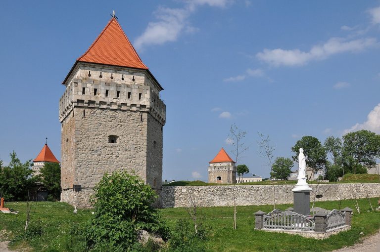
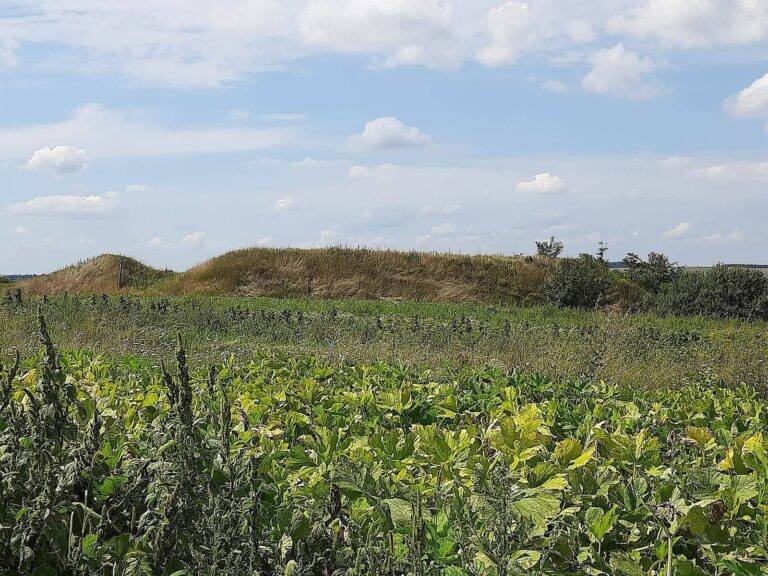
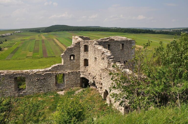
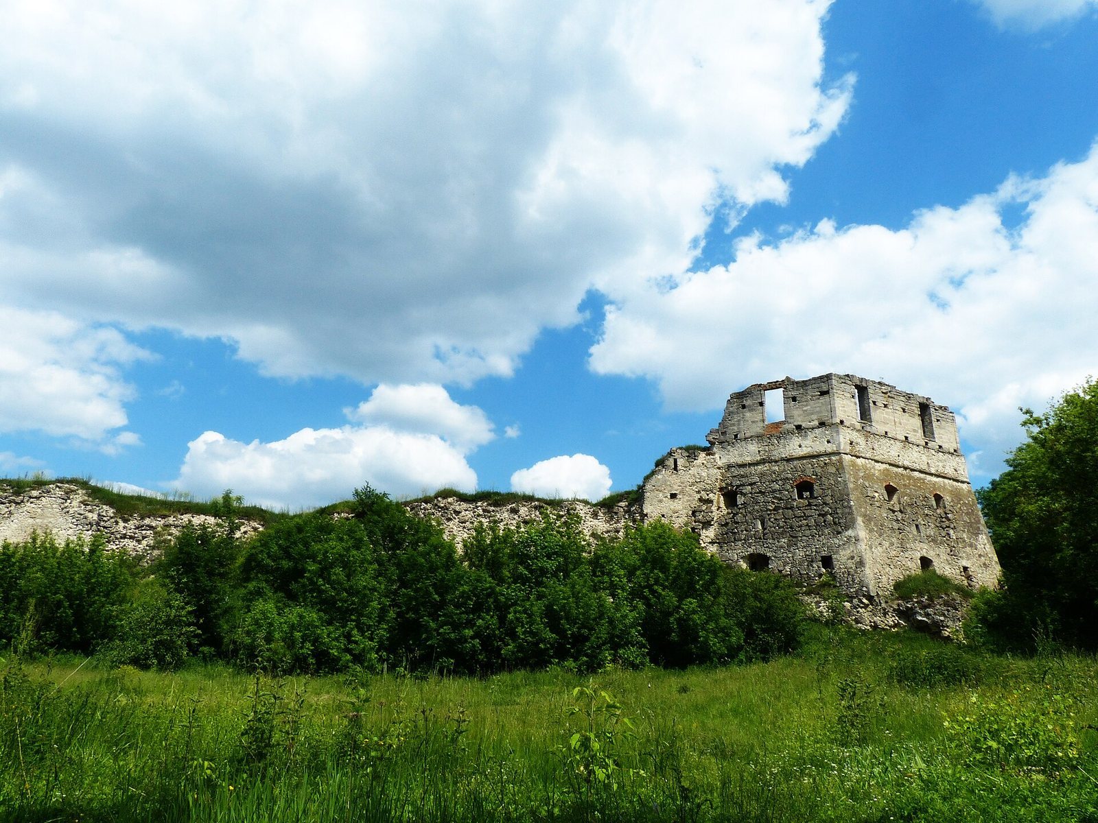
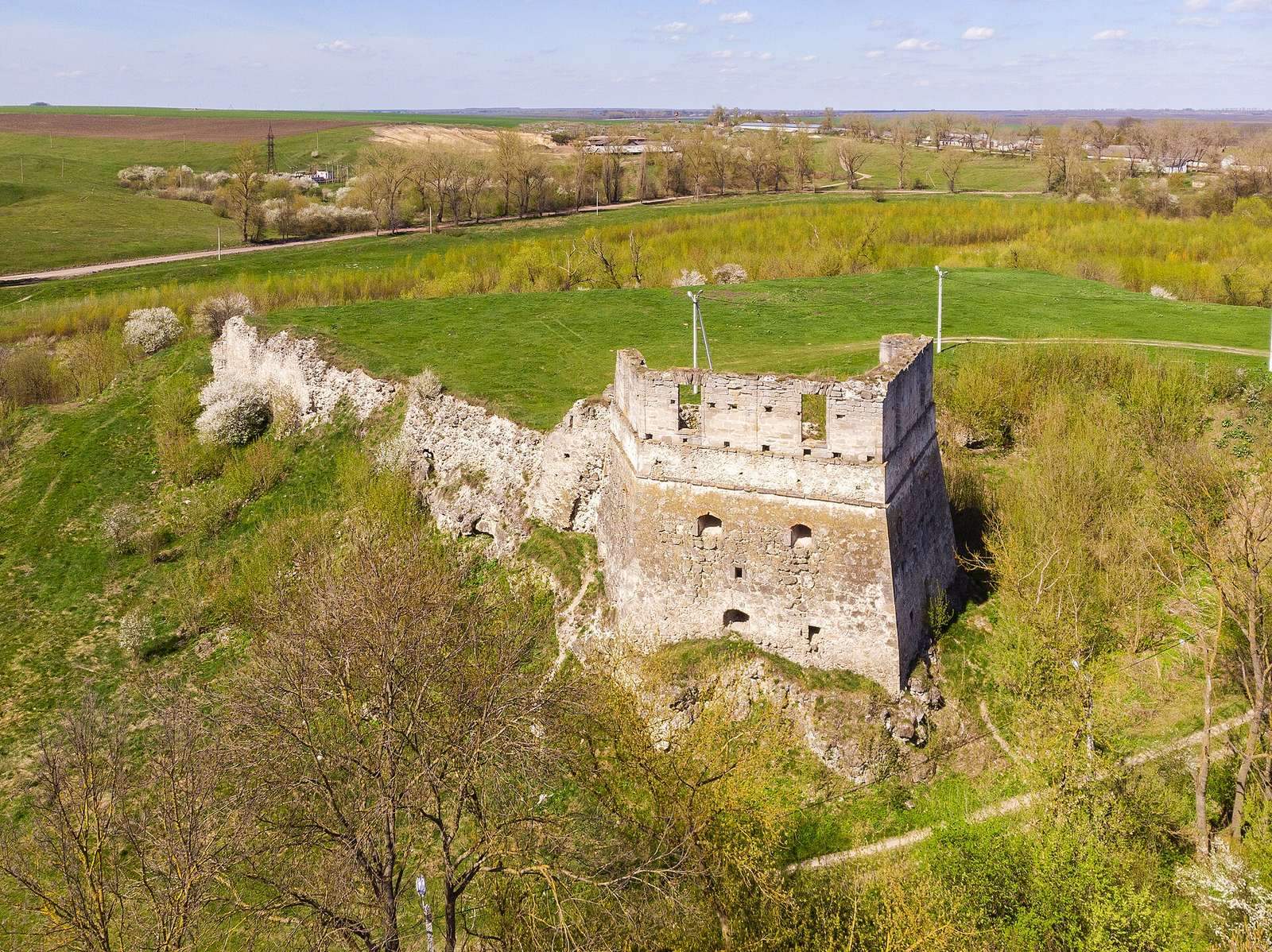
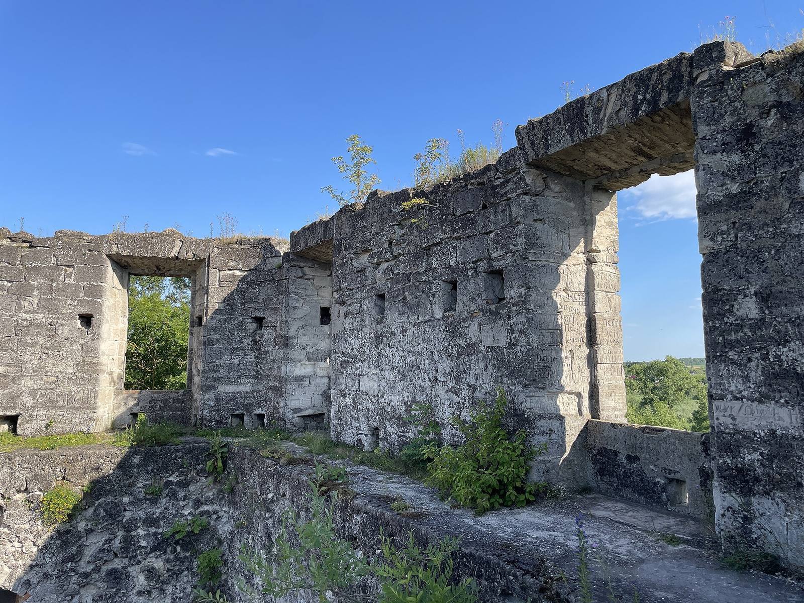
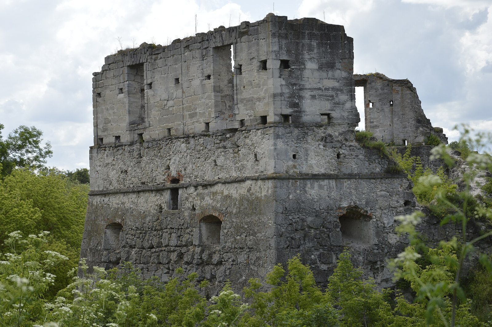
The fortress stood on a stone hill at the end of a promontory on an elongated island, now a peninsula, surrounded by a broad pond in an old channel of the Zbruch. Its triangular enclosure was built mainly of sandstone blocks, with walls forming an irregular triangle. The builders removed earth and stone until the pond reached the rocky cliffs beneath the fortress, which served as its foundation. The surrounding water and island setting formed part of its defenses. Three towers once occupied the corners: one pentagonal and two semicircular. Their lower levels had two rows of narrow firing openings, with protected enclosed spaces, or casemates, above. A pentagonal tower and part of the wall survive.
Entrance and bastion
A raised causeway provided the approach to the fortress. A gate tower guarded it, and a drawbridge led inside. The defenses also included a bastion, a fortified position designed to help defenders cover adjoining walls, with two lines of firing positions.
Underground passage tradition
Local tradition describes an underground passage linking a forest with the castle. It was said to be nearly tall enough for a person to stand in, with regularly spaced niches in its walls that held bowls for torches.