Heraion of Perachora: An Ancient Greek Sanctuary of Hera
Site at a Glance
- Popularity
- High
- Country
- Greece
- Primary era
- Iron Age
- Eras represented
- Iron Age, Classical, Modern
- Civilizations
- Ancient Greek, Greek
- Site type
- Religious
- Remains
- Sanctuary
On this page23 sections
History
The Heraion of Perachora is an ancient Greek sanctuary of Hera on the Perachora Peninsula in Greece, beside a cove on the north side of the Gulf of Corinth. Cult activity probably began by the late 9th century BC or earlier, during the Geometric period, an early phase of Greek history. The sanctuary is important for understanding rural worship in Corinthia and the development of Greek temples.
Early Cult and Political Control
The name Heraion refers to a sanctuary of Hera. “Perachora” is linked to the ancient names Peiraios and Peraia, with Peraia meaning roughly “land across the sea,” perhaps reflecting the peninsula’s position opposite Corinth. Finds from the wider Perachora and Lake Vouliagmeni area reach back to the Helladic and Mycenaean periods, before the sanctuary’s likely beginnings.
The sanctuary’s foundation is associated with the Megarians, possibly under Argive influence. Perachora may have remained under Megarian control until the early 8th century BC, when it came under Corinthian control. The sanctuary’s political allegiance has been disputed among Argos, Megara, and Corinth, although Corinthian control is considered probable. Plutarch’s account of five earlier Megarian communities includes the Heraeans and Piraeans.
Archaic, Classical, and Hellenistic Periods
The sanctuary expanded in the 6th century BC, during the Archaic period of early Greek history, and its activities came to include more than worship at cult buildings. It continued as a religious site through the Classical and Hellenistic periods. Its development contributes to the study of rural cult in Corinthia.
Xenophon gives the fullest ancient description of the Heraion in his account of the Corinthian War, in 391–390 BC. He also refers to livestock raising in the Perachora area. The L-shaped stoa, a covered colonnade, is attributed to Demetrius Poliorcetes, a Macedonian ruler and military commander. Its construction has been tentatively connected with the destruction of the West Court, perhaps during a raid by Agesilaus II, a king of Sparta, in 390 BC.
Roman and Later Use
The stoa was probably destroyed by fire during the Roman attack on Corinth in 146 BC, led by the commander Lucius Mummius. Sanctuary activity probably ended after Mummius sacked the city. The site then took on a more domestic character, including a Roman rural villa in the West Court area. A Christian church dedicated to Saint John was built there later. During Humfry Payne’s excavations, the church was moved to its present position east of the cove.
Ancient Traditions and Modern Research
Several ancient stories have been associated with the sanctuary. Euripides tells how Medea, a figure of Greek mythology fleeing Corinth, buried her murdered children at a sanctuary of Hera Akraia. The story may refer to Perachora. Herodotus recounts how Periander, a ruler of Corinth, stripped the clothes from women at a sanctuary of Hera, an episode also linked with the Heraion. Strabo mentions an oracle associated with the sanctuary. Interpretations of the cult as having underworld-related, or chthonic, elements have not gained general acceptance, although the oracle tradition and possible connection with Medea have been used to support them.
The British School at Athens excavated the site in 1930–1933 under Payne and again in 1938–1939 under Thomas J. Dunbabin. Richard A. Tomlinson directed research there from the 1960s to the 1980s. The area received protection through ministerial decisions, including recognition as a place of particular natural beauty in 1962 and designation as an archaeological site in 1991.
Remains
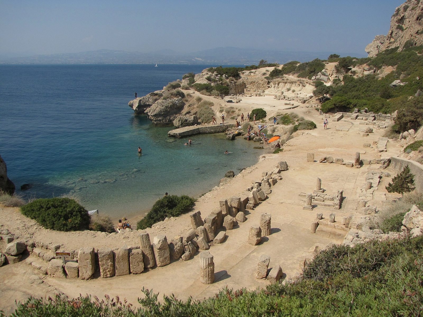
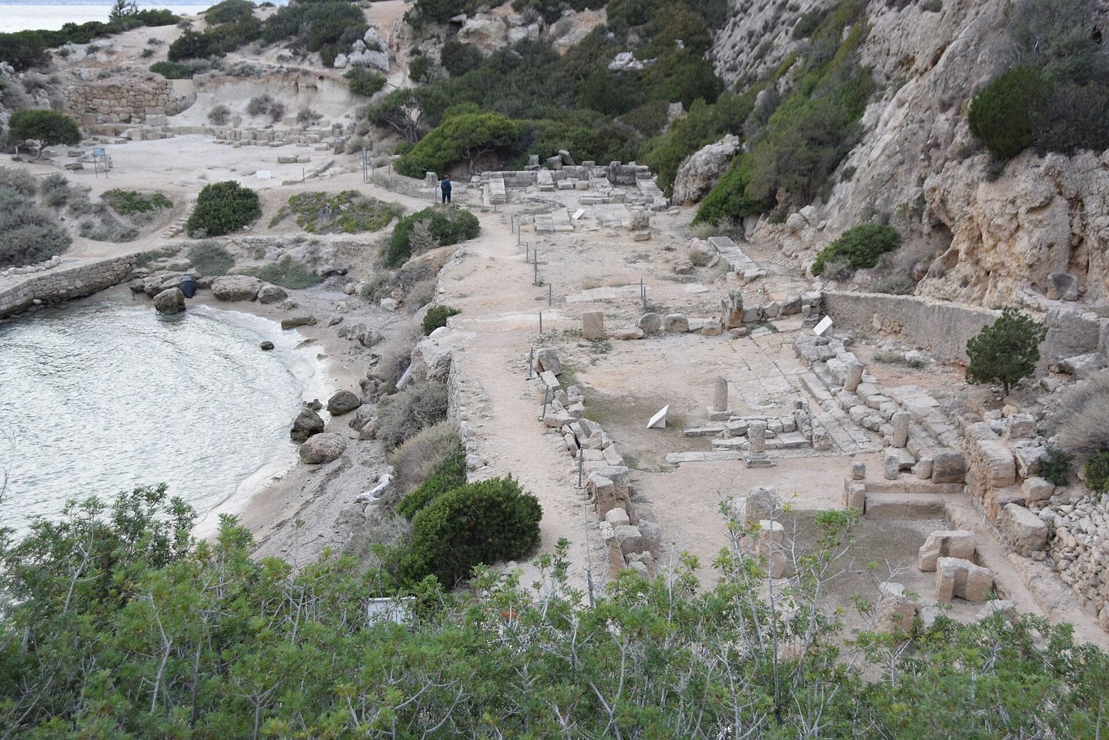
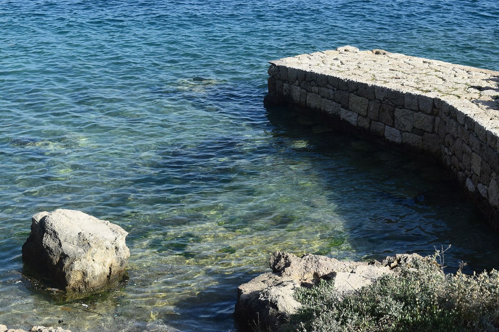
The sanctuary’s structures occupy an area about 45 metres from north to south and 245 metres from east to west. They curve around a small cove and extend eastward uphill along a ridge. Archaeological remains continue for about 1.7 kilometres toward a lagoon, including substantial parts of a wider water system. Ancient references and Hera’s epithet Limenia, associated with a harbour, suggest some form of access to the sea. The cove has been proposed as a possible harbour, as has the shore in front of Lake Vouliagmeni.
Early and Principal Cult Buildings
Early Apsidal Building
The earliest known building had a rounded end, a form described as apsidal, and probably dates to the late 9th century BC. Early Helladic pottery was found beneath it. Its design has been compared with house-temple models, buildings combining domestic and cult functions, at the Argive Heraion, a major sanctuary of Hera near Argos. By analogy, it may have had a steep roof, possibly thatched.
Temple of Hera Akraia
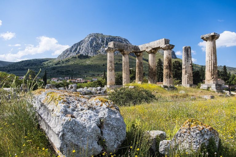
The 6th-century BC Temple of Hera Akraia, whose title means Hera of the headland or height, stood just west of the early apsidal building. It measured about 10 by 30 metres and had four columns across its front. Its main enclosed chamber, or cella, was divided into three aisles, with a partition at the western end and a screen before the cult statue. The temple had a marble roof, and some blocks were reused; these may point to an earlier building phase in the 7th century BC.
A frieze of triglyphs, grooved blocks, and metopes, the panels between them, may have run only along the temple’s eastern face. The metopes were about 15 centimetres thick and fitted into slots in the triglyph blocks. The temple is badly damaged on its southern side.
Limekiln
A limekiln about 4.5 metres across stood roughly halfway along the temple’s southern side. In the 5th century AD, marble from the temple and sanctuary was burned there to make lime for the Hexamilion, a fortified wall across the Isthmus of Corinth. A semicircular burn mark and heat damage to the stones beneath it remain visible around the kiln site.
Building Associated with Hestia
About 75 metres east of the cistern is a building associated with Hestia, the goddess of the hearth. It has a central hearth and contained spits for roasting meat. Its function remains uncertain: it may have been a house-temple or a dining room. A bronze bull bearing an inscription in the alphabet used at Sikyon was found there; the inscription dates to the end of the 6th century BC.
The building’s date is uncertain within the Archaic period. It may have served as a temple after the apsidal building collapsed and before the Archaic temple was built, and it may have remained in use until the 5th century BC. Its former identification as a temple of Hera Limenaia, meaning Hera associated with a harbour, rests on a disputed reading of an apparent dedication. A natural disaster may have destroyed the building.
Courts and Public Buildings
West Court and Roman Villa
The West Court lies at the sanctuary’s southwestern end, west of the cove. Its roughly 25-by-25-metre polygonal space was largely cut into the rock and may have been partly roofed. Colonnades appear to have bordered its western and southern sides. The court may date to the 6th century BC.
A Roman rural villa was later built roughly in the court’s centre. It was an elongated building with five rooms in sequence, including a kitchen, an olive press, and storage rooms. The villa was completely removed during Payne’s excavations after it had been recorded and photographed.
Altar
A stone altar stood about 15 metres east of the Temple of Hera Akraia. It dates to the early 4th century BC and carried a frieze of triglyphs and metopes. Ionic columns were added at its corners late in the 4th century BC, perhaps to support a canopy.
L-shaped Stoa
Immediately east of the altar stood a two-storey stoa, probably built in the late 4th century BC. Its eastern arm measured about 16.5 metres north to south and 5.5 metres deep; the northern arm measured about 17.5 metres east to west and 5 metres deep. The lower level had an outside row of Doric columns, one of the principal Greek column styles, while the upper level used Ionic half-columns. This combination is identified as the earliest known example of its kind. A channel from the sanctuary’s water system led to the building.
Water and Dining Facilities
Double-apsidal Cistern and Dining Room
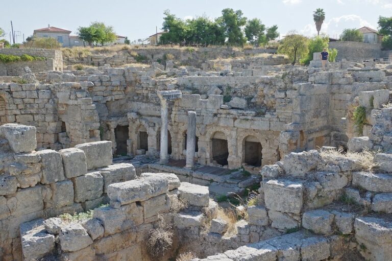
About 35 metres east of the stoa is a cistern with rounded ends, measuring approximately 6 by 21 metres. Stone piers inside supported its roof vaults, and a settling tank at its eastern end measured about 3 by 5 metres. The cistern dates broadly to the 6th–4th centuries BC and may have been built around the same time as the Temple of Hera Akraia.
Immediately south of the cistern, a double dining room probably served cult activity. It comprised two rooms of equal size, each with eleven dining couches, and an anteroom. Cuttings made for the couch legs support this identification. A date before 490 BC has been proposed. Such dining buildings were intended for prominent members of society.
Sacred Pool
A small artificial reservoir collected rainwater and is commonly called the Sacred Pool or sacred cistern. It was about 2 metres deep and has been backfilled. Many votive objects, including numerous shallow offering bowls with raised central bosses, were associated with it. These objects may have washed down from the Hestia building rather than having been deliberately placed in the reservoir. An interpretation connecting the deposits with divination is not securely established.
Circular Cistern
A circular cistern lies about 200 metres east of the building associated with Hestia. It may be the circular structure where Xenophon describes Agesilaus sitting as he watched the movement of spoils and prisoners during the raid of 390 BC.
Water System Beyond the Sanctuary Core
Upper Cisterns and Rock-cut Stairway
About 750 metres east-northeast of the sanctuary, a rock-cut stairway descends about 50 metres into bedrock to a group of large cisterns. The stairway opening is 64 metres northwest of the cistern openings. The descent is steep, and some steps are poorly preserved. Cuttings around the cistern openings indicate that a parapet wall was intended to prevent falls. The suggestion that large human-powered waterwheels raised water from the cisterns to the channels remains uncertain.
Fountain House and Channels
About 540 metres east-northeast of the sanctuary stood a fountain house with six columns across its front and three basins cut into the rock behind it. It was later incorporated into a Roman rural villa and is thought to be contemporary with the L-shaped stoa. Channels linked the upper cisterns to the fountain house, then connected the fountain house with the sanctuary cistern and stoa. Settling basins lay along the conduit, including one immediately above the fountain house.
Upper Levels and Fortifications
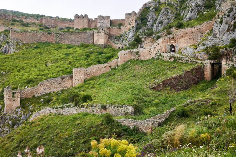
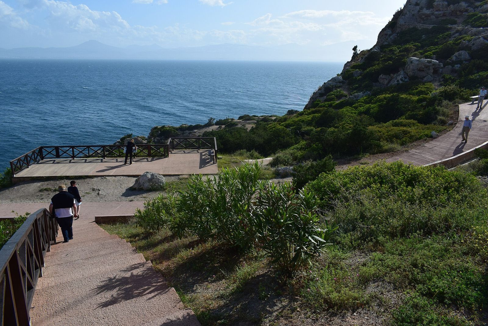
A monumental staircase led to the sanctuary’s upper levels. Sections of the fortification walls remain visible mainly at higher elevations on the peninsula and around the modern lighthouse.