Castello della Motta: A Medieval Castle in Friuli-Venezia Giulia
Site at a Glance
- Popularity
- Low
- Country
- Italy
- Primary era
- Medieval
- Eras represented
- Medieval
- Civilizations
- Holy Roman Empire, Lombard
- Site type
- Military
- Remains
- Castle
On this page16 sections
History
Castello della Motta is a medieval castle at Savorgnano del Torre, a hamlet of Povoletto in Friuli-Venezia Giulia, Italy. A fortified settlement occupied the hill by the early Middle Ages, and the castle later became a stronghold of the Savorgnan nobles.
From early fortification to Savorgnan lordship
On 25 March 922, Emperor Berengar I authorized Pietro, a priest of the Church of Aquileia, to strengthen the castle with battlements, wooden defenses, projecting wooden galleries, and ditches. Pietro’s identity is uncertain.
In the 13th century, the Patriarchate of Aquileia, an ecclesiastical principality whose patriarchs also held political and territorial power, granted the fortified hill to several families. Some adopted the name of the place where they received their land. Rodolfo di Savorgnano, also known as Ciprioner, is the first securely identified late-medieval lord. He rebelled against Patriarch Berthold of Andechs in 1219. After the castle and its fief had been recovered, Berthold brought the holding under his direct control as a ministerial fief, a land grant held by a dependent retainer in a lord’s service. Control of the Torre’s waters mattered because irrigation channels from the stream supplied Udine. In 1257 Rodolfo’s sons, Rodolfo II and Corrado, received the holding as ministerials, and the grant referred to two castle towers.
The lords’ history comprised an earlier line headed by Rodolfo and a later one descended from Federico di Colmalisio. Federico’s sons established the Cergneu, Bandiera, and Scaglione branches through Pietro, Leonardo, and Costantino respectively. A violent episode in the last decades of the 13th century displaced the earlier lords. Their successors, Federico’s sons, adopted the Savorgnano name, supported the patriarchs, and were probably established at the castle after a siege. The Bandiera branch ended in 1713. After the castle ceased to serve as a residence, the Scaglione line divided into the Torre di Zuino and Monte di Osoppo branches.
Fourteenth-century occupation and the siege
Troops of the Count of Gorizia occupied the site in 1345. Patriarchal forces were stationed there in 1385, when Captain Giovanni di Azzo degli Ubaldini ordered fortification work. In 1387 the Carraresi, Padua’s ruling dynasty, ordered further work and assigned it to Francesco Nascinguerra of Cividale. The scale of these efforts is unknown. In 1405 Tristano Savorgnan described the castle to the community of Udine as ruined and poorly defended. A church dedicated to San Canciano or San Canziano is mentioned in a notarial document of 1366 and in Giacomo Savorgnano’s will of 1382.
In 1412–1413, forces of Sigismund of Luxembourg besieged the castle. Sigismund, then king of Hungary and later Holy Roman Emperor, was campaigning in Friuli to restore authority weakened by Venetian actions involving the Savorgnan. The castle was captured but not completely destroyed. Its role changed, the Savorgnan stopped living there, and Tristano Savorgnan dello Scaglione was its last defender. Rooms inside the fortification were altered while some residential use continued. In the first decades of the 15th century, the keep was also used to collect and remelt metal objects, and perhaps glass. The complex was gradually abandoned and systematically dismantled from the end of the 15th century or the beginning of the 16th.
Excavation and later interpretation
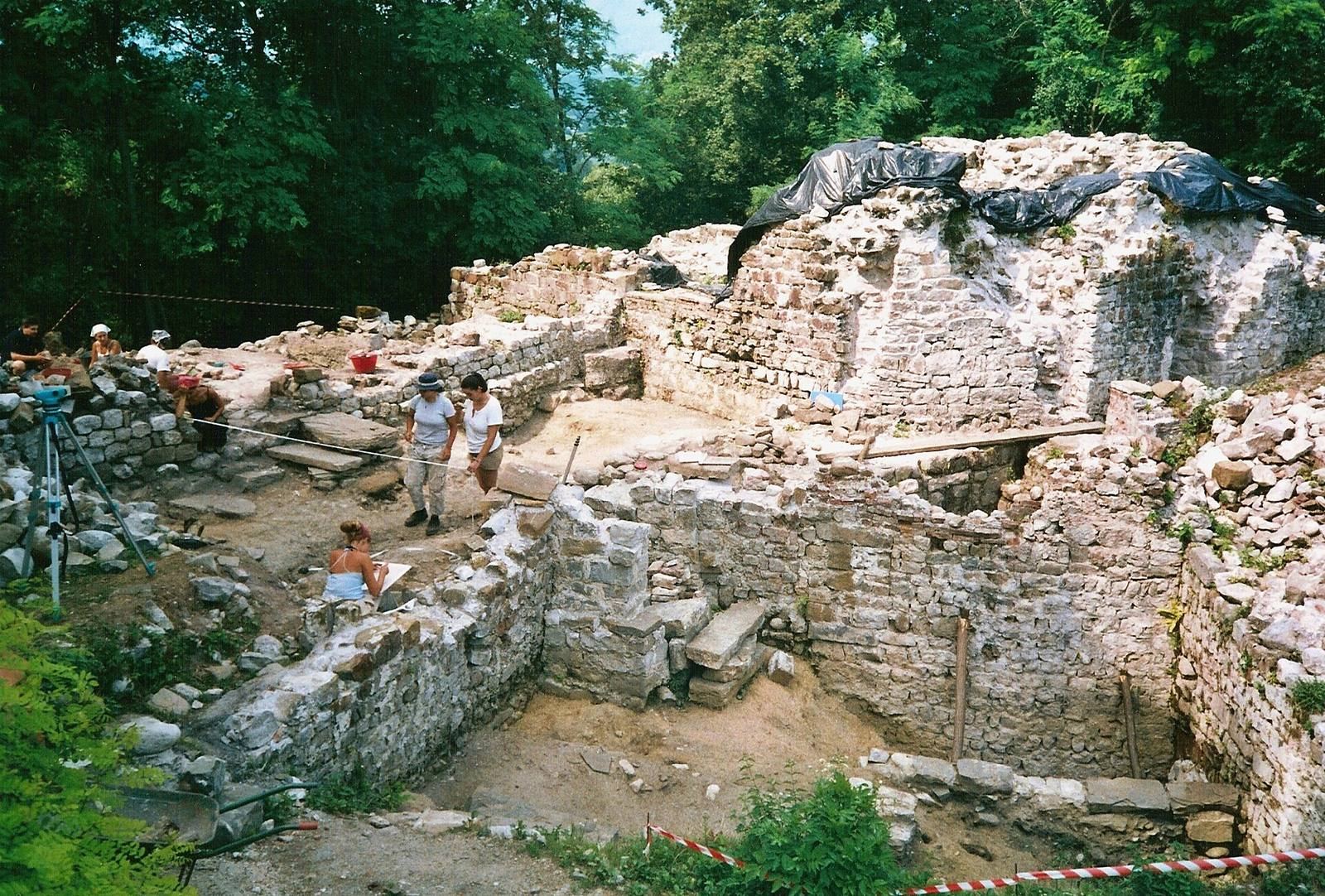
Intermittent excavations from 1997 to 2014 took place in 13 campaigns, confined to the summit and concentrated mainly around the polygonal keep. A team involving the University of Udine and the Povoletto municipal administration, along with study groups and cultural associations, used the results to define five periods from the early Middle Ages to the castle’s final abandonment. Since 2011, finds and excavation results have been presented at the Antiquarium della Motta and Fossil Exhibition in the municipal museum at Villa Pitotti, Povoletto.
Between 1960 and 1985, British scholar Cecil H. Clough proposed that real members of rival Savorgnan branches might have inspired Romeo and Juliet. He connected Luigi da Porto’s novella Giulietta, written around 1517 and later translated in a form that inspired Shakespeare, with events in Udine in 1511 involving Luigi and Lucina Savorgnano. Tristano, the castle’s last defender, was Lucina’s great-grandfather and Luigi’s great-great-grandfather.
Remains
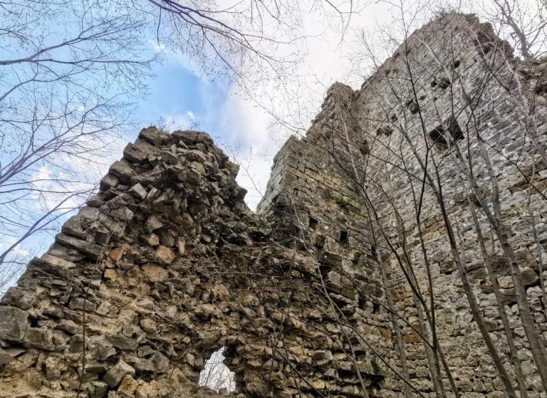
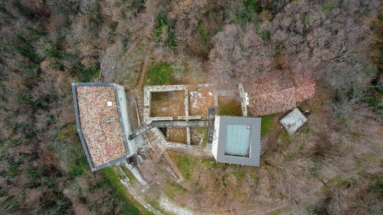
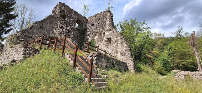
The ruins occupy a ridge crest at the meeting of the Torre and Cornappo streams, about 216 metres above sea level. Surviving structures cover approximately 6,000 square metres, across an area about 115 metres long and 40–60 metres wide. The partly visible outer wall encloses a hilltop divided into a summit zone, a lower strip to the east, and a broad, more level area below. An artificial ditch cuts across the ridge to the northeast. The original access path followed the ridge, and woodland has again spread across parts of the abandoned site.
Successive keeps
Early medieval tower
A quadrangular residential tower lay beneath the later polygonal keep. Its exterior sides measured about 8 metres, its walls were roughly 1 metre thick, and its interior covered nearly 40 square metres. Domestic finds and its position on a prominent part of the hill support its interpretation as an important strategic building. Pottery from an occupation deposit sealed beneath collapsed wall material was dated to 678 ± 90 through typological study and thermoluminescence, a method for estimating when fired material was last heated.
The finds include an iron key, animal bones interpreted as food remains, and pieces of a flat Roman-type roof tile reused as roofing. The tile came from an abandoned settlement at the foot of the hill. The tower’s walls were built mainly of local, workable but friable sandstone, with a small quantity of reused material, probably taken from abandoned settlements on the hill or on the plain to its west and south. Stones were laid irregularly and often interlocked, with occasional roughly horizontal courses.
Eleventh-century rectangular keep
In the 11th century, a rectangular keep replaced the earlier tower. Its outer dimensions were about 10.5 by 12 metres, with an interior measuring roughly 8 by 6.5 metres. The walls were about twice as thick as those of the earlier building, and a raised entrance stood on the southeast side. Selected stones were laid in horizontal or near-horizontal parallel courses, with doubled courses in places. Large blocks were concentrated at the base of the walls and at the corners, while smaller stones were generally used higher up. The wall cores included stones arranged in zigzag patterns.
The masonry used limestone and substantial quantities of violet sandstone, whose source is uncertain and may have been fluvial. Sandy mortar with gravel inclusions was usually white-beige or light grey. It was often smoothed along joints and bedding surfaces and adhered closely to the facing stones. A fire-damaged layer associated with the keep contained heat-scorched stones, charred branches, boards and posts, and abundant charred seeds and fruits, probably part of a food store. Radiocarbon dating places the destruction between 1195 and 1285. A traumatic event, possibly the deliberate burning of wooden structures, may have caused it.
Polygonal keep
After the rectangular keep was destroyed, a polygonal keep was built over its foundations, reusing a few upper courses while most earlier walls were demolished. Two sides formed an acute angle pointing northeast toward the ditch and the ridge approach. The new keep initially retained its entrance. A separate entrance in the enclosing wall, slightly farther south, provided access to the summit from lower ground.
Metalworking inside the keep
In the first decades of the 15th century, the keep was used to collect and remelt metal objects, and possibly glass. Excavation revealed a furnace, slag, and a store of metal pieces intended for remelting.
Fourteenth-century construction
Inner enclosure and associated buildings
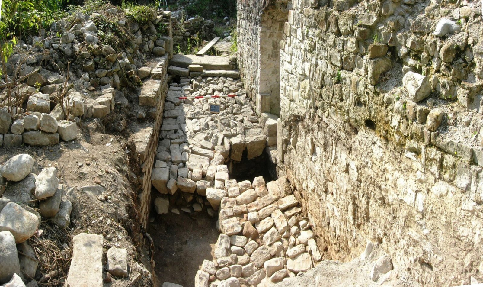
The summit was later enclosed by a separate defensive wall. In an early 14th-century phase, it had an entrance on the eastern side. Building B was constructed against the wall beside a drainage shaft. Brick began to appear in this phase and was subsequently used for repairs, infilling, rebuilding upper wall sections, and framing features such as corners and doorposts.
A later phase added an entrance on the southeast side of the polygonal keep, reached by a ramp. The drainage shaft was filled, Building B was altered, and the eastern entrance was blocked to make room for a large palace building beside the ramp. The palace remains unexcavated. The keep’s original entrance was also closed, and a new entrance was made on its southwest side. Masonry from this phase used mainly broken river pebbles, especially limestone, laid with their flattened faces outward. River stone was brought in to expand or replace existing walls.
Keep reinforcement
A later phase strengthened the keep’s angled defensive walls. New stone was used on the exterior, while earlier material was reused inside. Carefully worked blocks on the outer faces were suited to resisting projectiles from siege engines and firearms. Iron saw fragments, wedges, and chisel points with tangs provide evidence of skilled stoneworking. Iron nails, studs, hinges, and locks also attest to the use of timber elements in the castle.
Summit and settlement zones
Residential buildings and chapel
At the northeast of the summit, the keep stands among internal divisions, earlier building remains, and perimeter walls belonging to residential buildings. To the south, remains of a family chapel have been identified, though they have not been excavated.
Lower settlement area
Traces of buildings are visible beneath the humus along the lower eastern strip. A broad, partly level area adjoining it is thought to have contained the settlement mentioned in 14th-century documents. This lower zone had its own enclosing wall. The northeast ditch separated the settlement area from the rest of the ridge.