Novobohorodytska Fortress: A Muscovite Frontier Stronghold in Ukraine
Site at a Glance
- Popularity
- Medium
- Country
- Ukraine
- Primary era
- Early Modern
- Eras represented
- Classical, Early Modern
- Civilizations
- Russian
- Site type
- Military
- Remains
- Fort
On this page13 sections
History
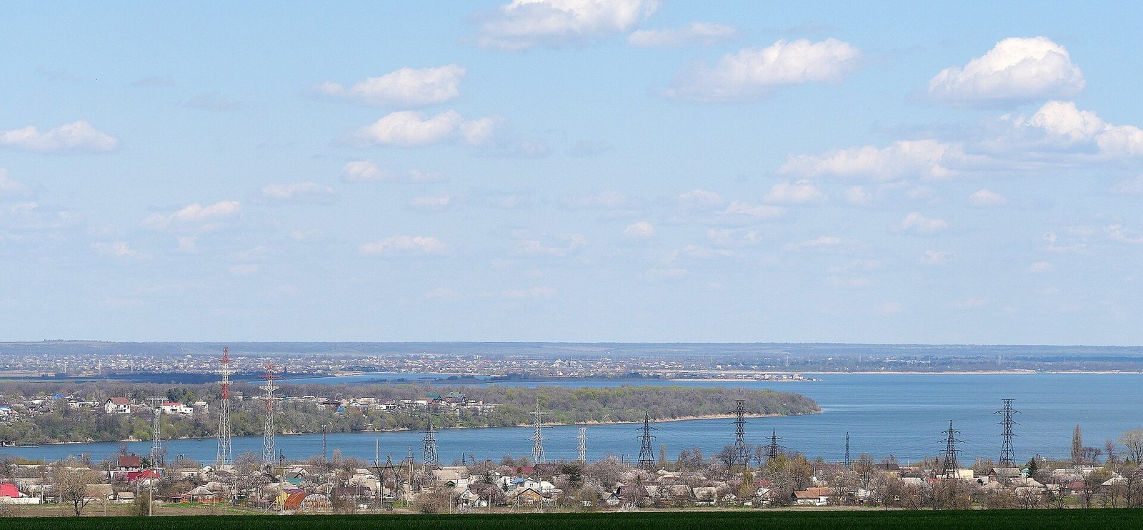
Novobohorodytska Fortress was a frontier stronghold built by the Moscow-centered Russian state on the right bank of the Samara River near its meeting with the Dnieper, in present-day Dnipro, Ukraine. Construction began on 22 July 1687 and was largely complete in 1688. The fortress helped defend Left-Bank Ukraine against Crimean Tatar raids, served as a rear base for Russian-Cossack forces fighting the Crimean Khanate, a Tatar-ruled state in Crimea, and extended Moscow’s authority in Zaporizhian territory.
Foundation and frontier role
The project followed the unsuccessful 1687 Crimean campaign, an expedition against the Crimean Khanate. The order to build fortresses on the Samara and Oril rivers was associated with Sophia Alekseyevna, then regent for the co-tsars Ivan V and Peter I. Prince Dmitry Golitsyn was also linked with the project. Patrick Gordon was tasked with preparing plans in February 1688, while the engineer-colonel William von Zalen was associated with the design and construction. Ivan Mazepa, hetman, or head, of the Cossack Hetmanate, and Moscow military commander Leonty Nepliuev also played important roles.
The fortress stood on the site of Samar, an earlier Cossack town, an identification later supported by archaeological work. It was regarded as the first fortress built by Muscovy, the Russian state centered on Moscow before the Russian Empire, within the territory of the Lower Zaporizhian Host, a Cossack polity associated with the Zaporizhian Sich. Its establishment asserted Moscow’s authority there. Five hundred soldiers were initially stationed at the fortress. Its intended full garrison was 4,491 men, while another recorded figure gives 4,014 present. The stores held more than 5,700 tonnes of provisions.
Settlers from Ukraine and Muscovy populated the suburb and were permitted to trade, including in honey and vodka. Orders instructed soldiers and settlers not to oppress Kodakians, Severyans, or Zaporizhians settling farther up the Samara, and to protect their apiaries and other livelihoods.
Conflict and reconstruction, 1690-1711
The fortress played an important part in the 1689 campaign against the Crimean Khanate. In April 1690, a plague killed or drove away much of its garrison. The governor, Aleksei Rzhevsky, died there, and fire destroyed half of the nearby town. Mazepa arranged for an equal number of Cossacks from the Myrhorod regiment to replace the depleted force, and sent 1,000 men from the Poltava regiment to guard the citadel and the tsar’s treasury.
In 1692, Crimean Tatars and supporters of the Cossack leader Petryk, also known as Petro Ivanenko, tried to capture the fortress. Its garrison repelled the assault, but the lower town was attacked and some buildings were set alight. A decision to rebuild followed a 1697 campaign against the Crimean Khanate led by Mazepa and Prince Dolgorukov. Reconstruction took place in 1698, when the fortress acquired the name Novobohorodytska. Mazepa settled workers there to produce saltpeter, but Zaporizhian Cossacks drove them away in 1701. The Zaporizhian Host protested to Peter I and unsuccessfully sought the fortress’s closure.
Fighting near the fortress in 1708 involved Zaporizhian Cossacks, followers of Kondraty Bulavin, leader of a Cossack revolt, and government forces. In 1711, during Cossack political leader Pylyp Orlyk’s campaign against Moscow’s rule, a combined force of Tatars and Zaporizhians besieged the fortress, which held out. The Treaty of Pruth, the 1711 peace agreement between Russia and the Ottoman Empire, was followed by the fortress’s demolition.
Frontier base and closure
After 1731, the defenses were restored as the Samara Retrenchment, a defensive work built within or behind a position. The rebuilt fortress was known by that name in 1736. Its perimeter was enlarged, and its defenses became part of the Ukrainian Line, a system of Russian frontier fortifications. During the 1735-1739 war against the Crimean Khanate, it served as a Russian base. After the war, the fortifications were joined with Samara, also known as Old Samara. The territory temporarily became part of the Hetmanate, the Cossack polity governed by a hetman, in 1742.
In 1783, Empress Catherine II ordered the fortresses of Novorossiya decommissioned. German colonists later cultivated the former fortress territory, which was also used for local gardens.
Archaeological investigation and protection
A local-history study published in 2000 proposed that Samar and the fortress occupied the same site. Archaeological investigations began around 2001 and continued under the leadership of archaeologist Irina Kovaleva. Ukraine designated the fortress a monument of national significance in 2001.
Remains
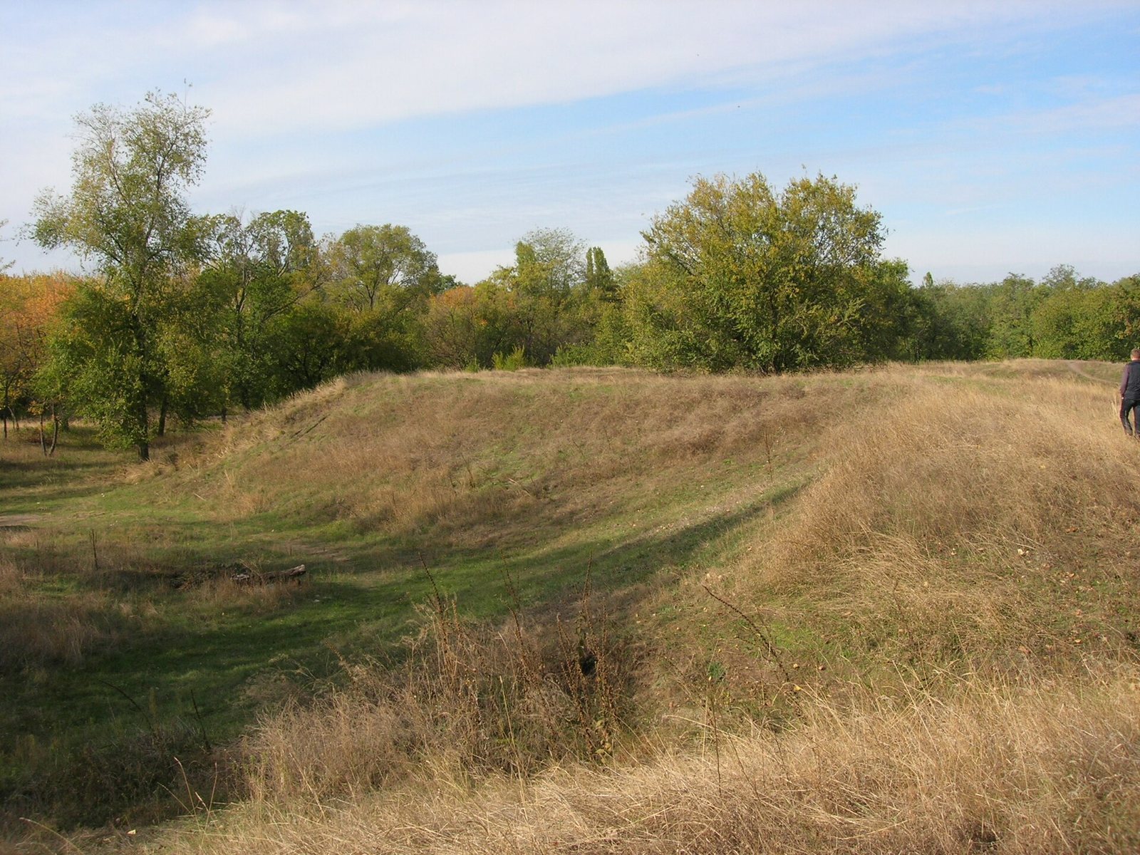
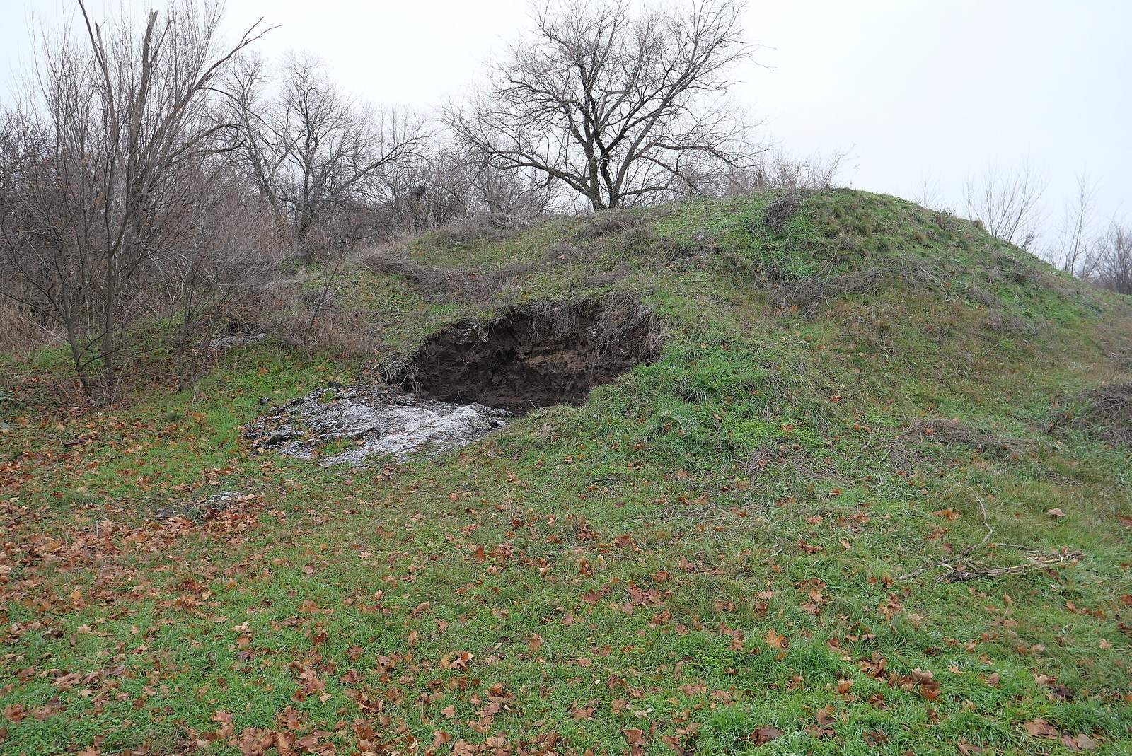
The fortress occupied a roughly rectangular area described as about 250 by 300 metres, with a total area of approximately 10 hectares. Built from earth and wood, it had a central citadel, the fortified inner stronghold. Its overall plan has also been described as resembling a turtle when viewed from above. Earthen defenses survive in part.
Fortifications and buildings
Defensive works
An earthen defensive bank stood about 4 metres high, with a ditch approximately 6 metres wide and 3 metres deep. A wooden defensive fence held 17 cannon positions. The original perimeter exceeded 1,300 metres; after the 1698 reconstruction it was enlarged to about 1,700 metres.
Lower town
Below the fortified area, the lower town contained courtyards and two towers. Archaeological remains on the former fortress grounds include dwellings within the fortress and its suburb, as well as an inn near a river crossing.
Church of the Intercession
A wooden Church of the Intercession of Mary stood inside the fortress from 1688. Archaeologists have identified its site. In 1798, the church was dismantled and moved across the Samara River to Odinkovka.
Archaeological remains
Earlier settlement and metalworking
Investigations uncovered a settlement of the Chernyakhov culture, an Eastern European archaeological culture broadly dating to the Roman era, as well as a large metalworking center in 2005. Excavations also identified the boundaries of the archaeological deposits and traces of dwellings within the fortress and suburb.
Excavated finds
Excavations covered 1,686 square metres and yielded nearly 10,000 objects. A 2007 inventory catalogued 2,200 finds from the fortress grounds, including seals and trade seals, cross-shaped pendants, clothing buttons, plates and other household goods, jewelry, coins dating from the 14th to 18th centuries, and weapons.