Fort of Pessegueiro: A Portuguese Coastal Fortification
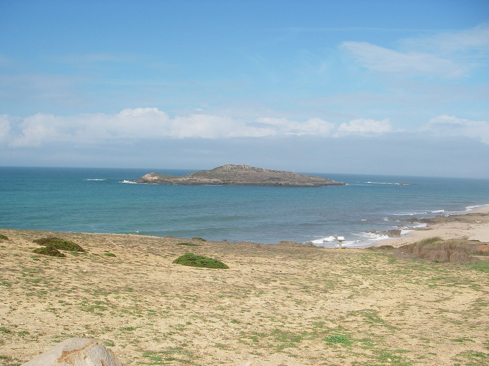
Site at a Glance
- Popularity
- Low
- Country
- Portugal
- Primary era
- Early Modern
- Eras represented
- Early Modern, Modern
- Civilizations
- Portuguese
- Site type
- Military
- Remains
- Fort
On this page8 sections
History
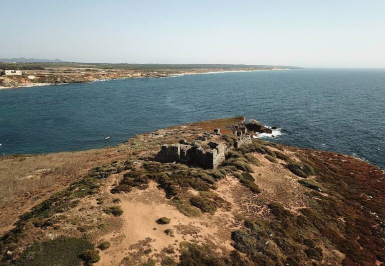
The Fort of Pessegueiro, also known as Fort Nossa Senhora da Queimada, is a coastal fortification at Porto Covo, in the municipality of Sines in southern Portugal. Begun in 1588, it was planned in the Mannerist style, a sixteenth-century movement that followed the High Renaissance, as part of a project to connect the mainland with Pessegueiro Island by an artificial harbor.
The harbor project and construction
Cardinal Alberto, Archduke Albert of Austria and Portugal’s viceroy, approved the project. Filippo Terzi, an Italian architect and military engineer working in Portugal, began the fort’s construction. In 1590, Italian military engineer Alexandre Massay succeeded Terzi, and work began on a companion fort, Fort Santo Alberto, on Pessegueiro Island. Construction of the harbor and fortifications stopped in 1598 after Massay was transferred to Vila Nova de Milfontes to build a defensive fort on a sandbar at the Mira River. Work resumed five years later.
Completion and later use
Construction proceeded in several phases, with long pauses, between 1661 and 1690. The Fort of Pessegueiro was completed near the end of the seventeenth century during the reign of Peter II, king of Portugal. The harbor and Fort Santo Alberto remained unfinished. The original Mannerist design was simplified to a rectangular plan; some historians have attributed the later design to Captain João Rodrigues Mouro.
The 1755 Lisbon earthquake damaged the chapel and the artillery positions above the vaulted chambers built into the fort. From 1877 to 1942, the Portuguese Fiscal Guard, a state force responsible for fiscal and customs enforcement, occupied the site.
Heritage protection and repairs
A 1957 decree classified the fort and Pessegueiro Island as national heritage, and a decree in 1974 clarified that status. Between 1983 and 1985, the General Directorate of Buildings and National Monuments repaired parapets at the left bastion and central area, identified as the former port entrance. The work also rebuilt ruined sections and reinforced vulnerable parts of the outer walls.
Remains
Plan and setting
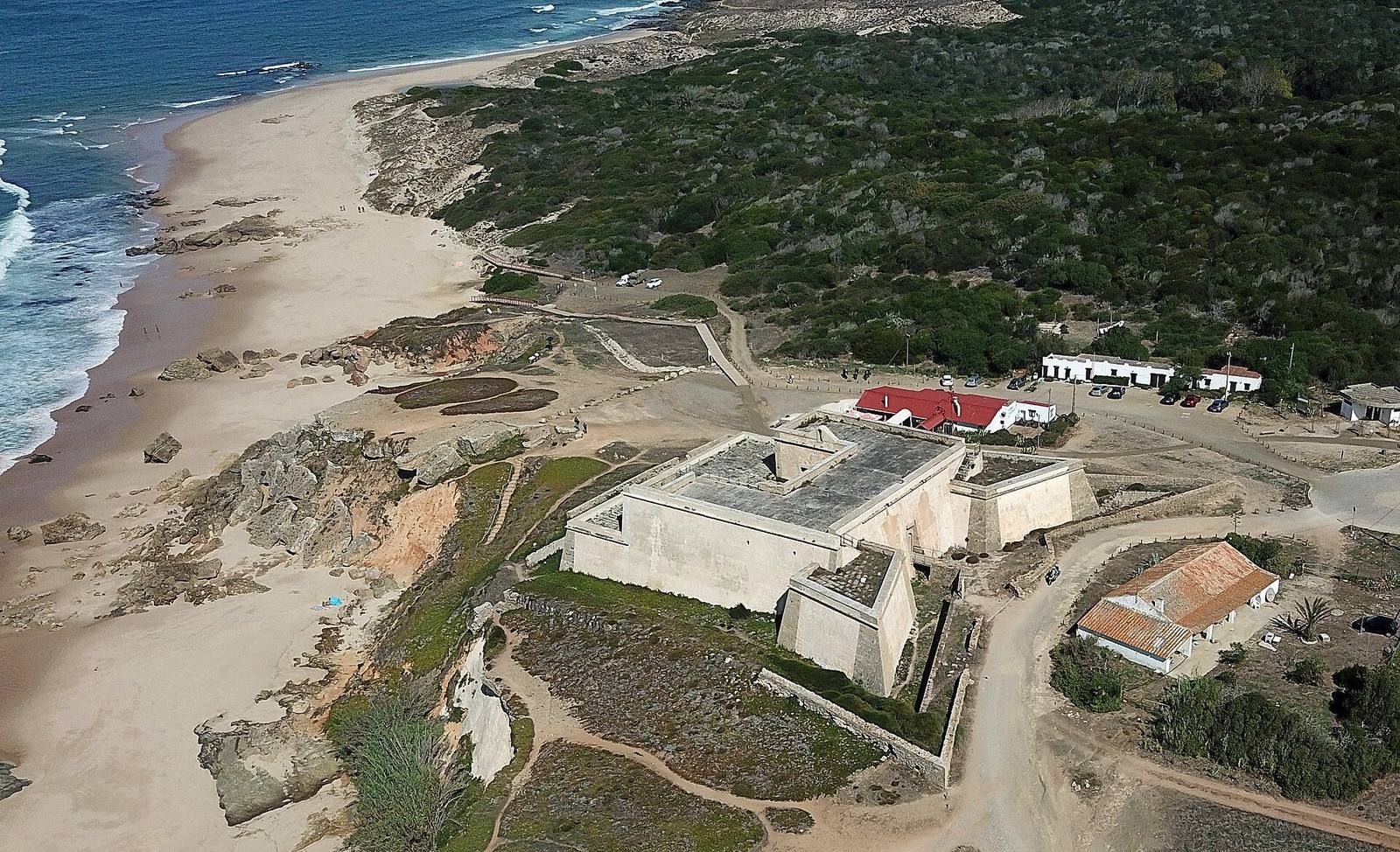
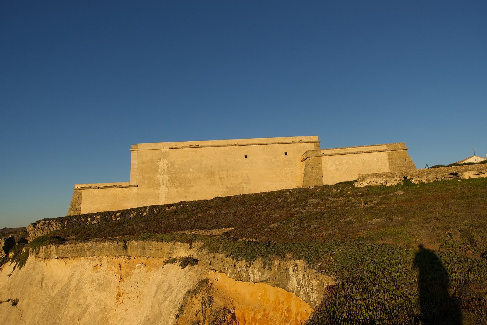
The fort stands on the Atlantic coast across from Pessegueiro Island, facing Fort Santo Alberto and overlooking the beach. Its outline is a star-shaped polygon, with two triangular bastions, or projecting fortifications, toward the land and a polygonal battery, an artillery position, toward the beach. Relatively low walls enclose an interior arranged in a U-shaped plan across terraces.
Walls and access
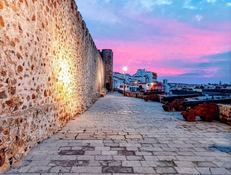
Thick masonry walls incorporate stone wedges and follow the slope. A rounded molding, called a torus, runs below a semicircular railing along the walls. Traces of a circular bartizan, a small projecting turret, remain midway along the sea-facing wall. The main gate is centered in the landward wall and reached by a wooden bridge across a moat. Inside the fort are vaulted casemates, chambers built into a fortification, and bunkers with chimneys enclosed within the walls.
Hermitage of Nossa Senhora da Queimada
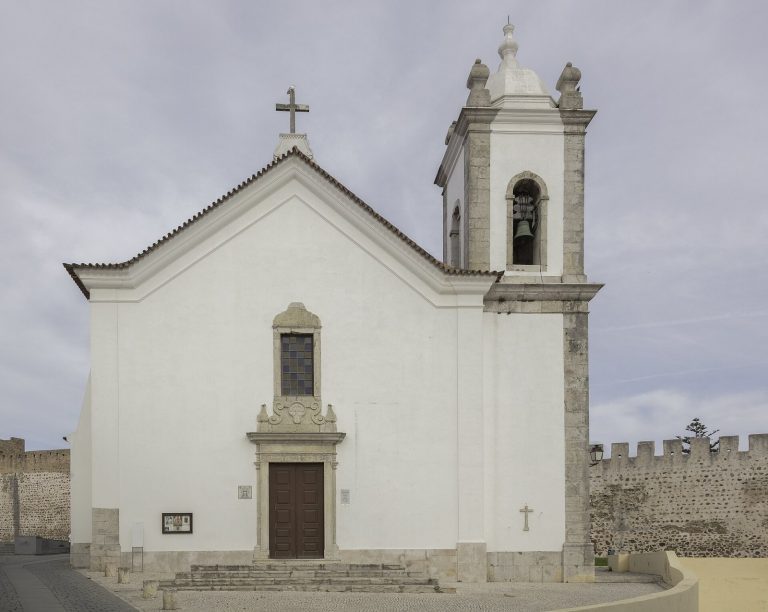
At the fort’s northern end stands the Hermitage of Nossa Senhora da Queimada, a small chapel named for a title of the Virgin Mary. Its ceiling is vaulted.