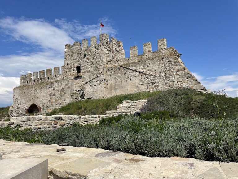
Kilitbahir Castle: An Ottoman Fortress Guarding the Dardanelles



Site at a Glance
- Rating
- 4.8
- Popularity
- Medium
- Country
- Turkey
- Primary era
- Classical
- Eras represented
- Classical, Early Modern
- Civilizations
- Ottoman
- Site type
- Military
- Remains
- Castle
On this page9 sections
History
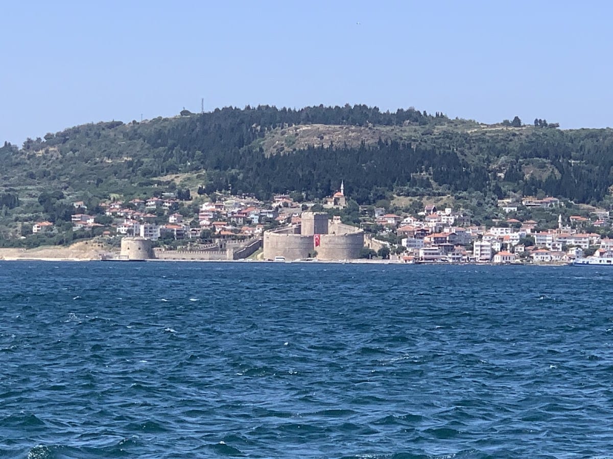
Kilitbahir Castle is an Ottoman fortress in Türkiye, built in 1452 on the European shore of the Dardanelles during Mehmed II’s siege of Constantinople. Its position at the strait’s narrowest point allowed it to control shipping, secure the waterway, and prevent European states from assisting the Byzantine Empire.
Foundation and Ottoman Control
The construction was directed by Yakup Bey, the sanjak governor of Gallipoli, and the fortress is attributed to Muslihiddin, an important architect during Mehmed II’s reign. The castle was formerly written as Kilidul-Bahr, meaning “the lock of the sea.” It stood opposite Çimenlik Castle and formed part of the Ottoman effort to command movement through the Dardanelles. Thirty cannon brought a 1,250-metre-wide section of the strait within artillery range.
Expansion under Suleiman
In 1551, during the reign of Suleiman the Magnificent, the fortress was strengthened with Sarı Kule, or “Yellow Tower,” and new curtain walls. A curtain wall is a defensive wall linking towers or other fortified projections. These additions extended the complex southward and enlarged its defensive ditch system.
Later Military Alterations
Kilitbahir was renewed during the Cretan War with Venice and expanded under the direction of French officers in the eighteenth century. Selim III ordered further renovation during the Napoleonic Wars. Additional restoration and maintenance followed under Abdulhamid II. A restoration under Sultan Abdulaziz took place in 1870, and the northern section was rebuilt under Abdulhamid II around 1894.
Archaeological excavations supported Ekrem Hakkı Ayverdi’s interpretation that the later southern additions enlarged the castle’s defensive ditch system. Kilitbahir also played an important role during the Dardanelles Campaign. Turkey’s Ministry of Culture registered it as a cultural property requiring protection on 14 November 1980.
Remains
Overall Layout
The fortress occupies an area approximately 220 metres long and 120 metres wide. Its plan combines an inner fortress, outer defensive walls, a central triangular tower, southern additions, and a surrounding ditch rather than following the conventional rectangular or square fortress layout. A lower secondary defensive wall surrounds the castle, while the southern sections of the sea walls contain openings for artillery, known as gun embrasures.
Inner Fortress and Central Tower
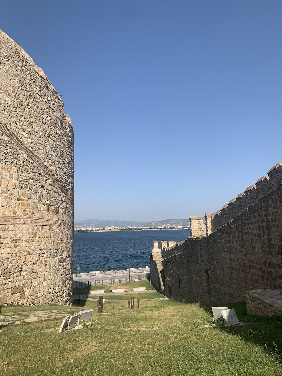
The inner fortress has a distinctive three-lobed, clover-shaped plan formed by three near-circular towers or bastions. At its centre stands an elongated triangular tower with slightly curved walls. It rises 30 metres and contains seven storeys. Three stone bridges connect the surrounding walls to the central tower, creating the principal internal arrangement of the fortress.
Southern Extension
The southern extension added under Suleiman the Magnificent includes Sarı Kule and triangular defensive walls. A further tower and wall system forms part of this southern enlargement, which also expanded the castle’s defensive ditch system.
Outer Walls and Ditch
The outer defensive wall is described as 7 metres high and between 2.18 and 2.27 metres wide, with nine towers along its upper line. These towers are stated to be 1.50 metres high, while the surrounding ditch measures 10 to 12 metres across. Another description gives the outer fortress as 4 metres high, the second outer fortress as 18 metres high, and the inner fortress as 30 metres high, with wall thicknesses of 4 to 6 metres.
The original northern outer sea wall no longer survives, and the northern section was reconstructed in the 1890s. Roughly dressed stone forms the main construction. Brick arches frame the openings, while white marble was used for the doors and windows.